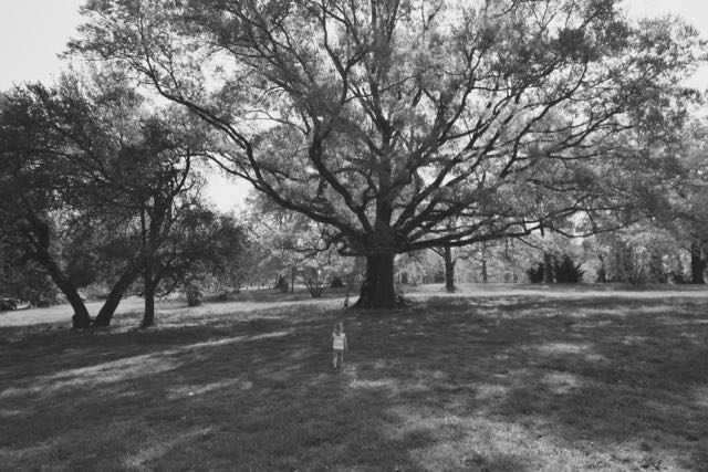
 Over Spring Break we vacationed with friends and family in Virginia. We initially wanted to visit the newly renovated Maymont Park (see my 2012 park review) in Richmond, but opted for the quieter Bryan Park instead. With its granite archways, expansive rolling hills, recreational areas, and natural spots Bryan Park is the perfect crossroads of Virginia’s history and nature!
History of Bryan Park
Bryan Park is located on the Northside of Richmond at 4308 Hermitage Rd between I-95 and US-64. According to Richmondoutside.com, the history of Bryan Park dates back to the late 1700s when the Young family owned the 600 acre Westwood Estate. In 1800, Young’s Spring served as a meeting spot for a planned slaved rebellion (formally known as Gabriel’s Rebellion) that went awry. Rosina Young inherited half of the estate, which is most of Bryan Park today, after her father’s passing in 1832. During the Civil War, Confederate soldiers setup a defense line near the Rosewood farmhouse on the property. Following the war, Rosina (and her daughter) continued to farm Rosewood until her death in 1906.
With the booming development of Richmond’s Northside at the turn of the century, prominent Richmond businessmen, Lewis Ginter and Joseph Bryan (publisher of Richmond Times at the time), created large residential neighborhoods. After Bryan’s death in 1908, his widow, Belle Stewart Bryan, purchased Rosewood at a public auction. Then, she donated the land to the city as a memorial and for use as a public park.
Then over the years, the Richmond City Council transformed the farm into a park. The park’s condition deteriorated over the years until the mid-1990s when concerned citizens organized the Friends of Bryan Park (FoBP) group to improve and preserve the park. Today the park is a joint effort between the City of Richmond Parks & Rec and FoBP.
Our Visit – Playground
 For our visit to Bryan Park, we drove through the main Hermitage Rd entrance passing under the massive granite archways. I stayed straight, relying on map memory (not the signage), to park in a small gravel lot near the playgrounds. The kids jumped out and ran across the field to the playground area.
The playground features fun climbing structures, a large shaded teeter totter, tot swings, regular swings, and a large jungle gym. The jungle gym features a tree-themed design with unique climbing ladders, rock wall, and twisty and straight slides. The kids loved alternating between the twisty slide and climbing areas.
Hiking & Creek
After exhausting the playground, we consulted Google Maps to find a sandy splashing area along Jordan’s Branch. Thinking we had the spot realized, we hopped into our cars and drove up the street closer to Shelter #1. We walked along the left side of Shelter #1 on Young’s Pond Ln and turned left onto a trail opening at the bottom of the small hill. The narrow trail meandered through the woods with the creek to the right. We wanted to find an easy access point to the creek with sandy areas on the opposite side. After 1/2 mile hike through the woods we succumbed to hungry voices and picnicked on the trail. While little people ate lunch, a few of us ran ahead to find the easy creek access. We stopped a little too soon – the easy creek access was less than 50 yards ahead.
 Following our picnic lunch, we headed to the easy access and crossed the shallow parts to the sandy banks. The kids loved splashing in the creek, looking for tadpoles, and walking in the sand. It was a really warm day, so the cool water was very welcoming.
After splashing, we headed back across the bank to brush off dirt and walk back to the cars. Unbeknownst to us, we happened upon a shortcut on the way back and came out at the trailhead on Jordan’s Branch Ln. We quickly walked to the parking lot and then drove to Ardent Craft Ales for some much deserved beer and snacks (New England IPA was my fave).
I always enjoy discovering a new (to me) Richmond park because of its ties to the area’s rich history. Even though Bryan Park was a little overgrown, it’s nice the great citizens of FoBP and community partners support the park’s preservation. Be sure to check out their events page for how to volunteer or attend a program! I’d love to return to the park (sans kids) and follow the self-guided tour map or admire the azaleas in full bloom.
Additional Resources:
- History of Bryan Park from FoBP
- Park map
Thumbs up: park’s rich history, beautiful rolling hills and old trees, unique natural features, variety of recreational activities, fun playground area
Thumbs down: overgrown areas, poor signage


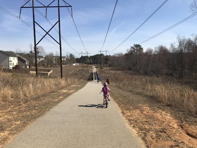 Looking for a fun family bike ride over the holiday weekend? Discover the
  We maneuvered through the neighborhood sidewalks and carefully crossed Hodge Rd to continue on Mingo Creek Trail. Shortly after, we biked along the half-mile causeway, which was sandwiched between marshy areas and residential homes. We stopped on the causeway to watch the turtle and duck families sunning in the water. A great heron (or egret) also caught our eye.


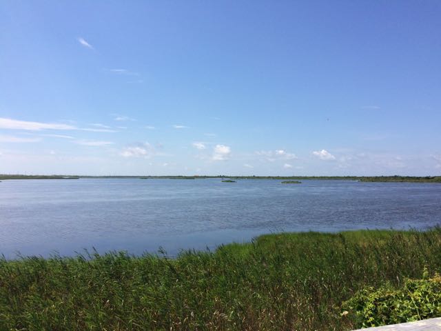 When we were in Nags Head last month we spent the last full day exploring Pea Island National Wildlife Refuge, which is located on a barrier island of the Outer Banks in NC. The Pea Island National Wildlife Refuge is part of a larger national wildlife refuge system with more than 500 units that was founded by President Teddy Roosevelt in 1903 to conserve the nation’s natural living treasures. The Pea Island Refuge was established in 1938 to provide a resting and winter habitat for migratory waterfowl. It features a visitor center, the North Pond Wildlife trail (which is part of the larger Charles Kuralt Trail), and 13 miles of beaches. We did a little bit of everything just before the big storms rolled in, making the trip a perfect last day adventure!
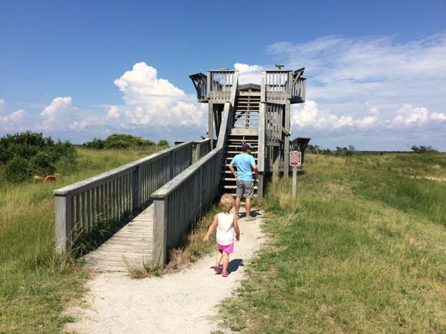 After exploring the visitor center we headed to the
 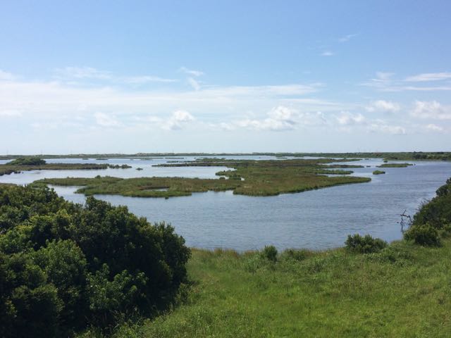 The North Pond Wildlife Trail is part of a larger grouping of trails that make up the Charles Kuralt Trail. It was established to encourage people to enjoy the wild lands and recognize this great NC native broadcast journalist who loved exploring remote places. The


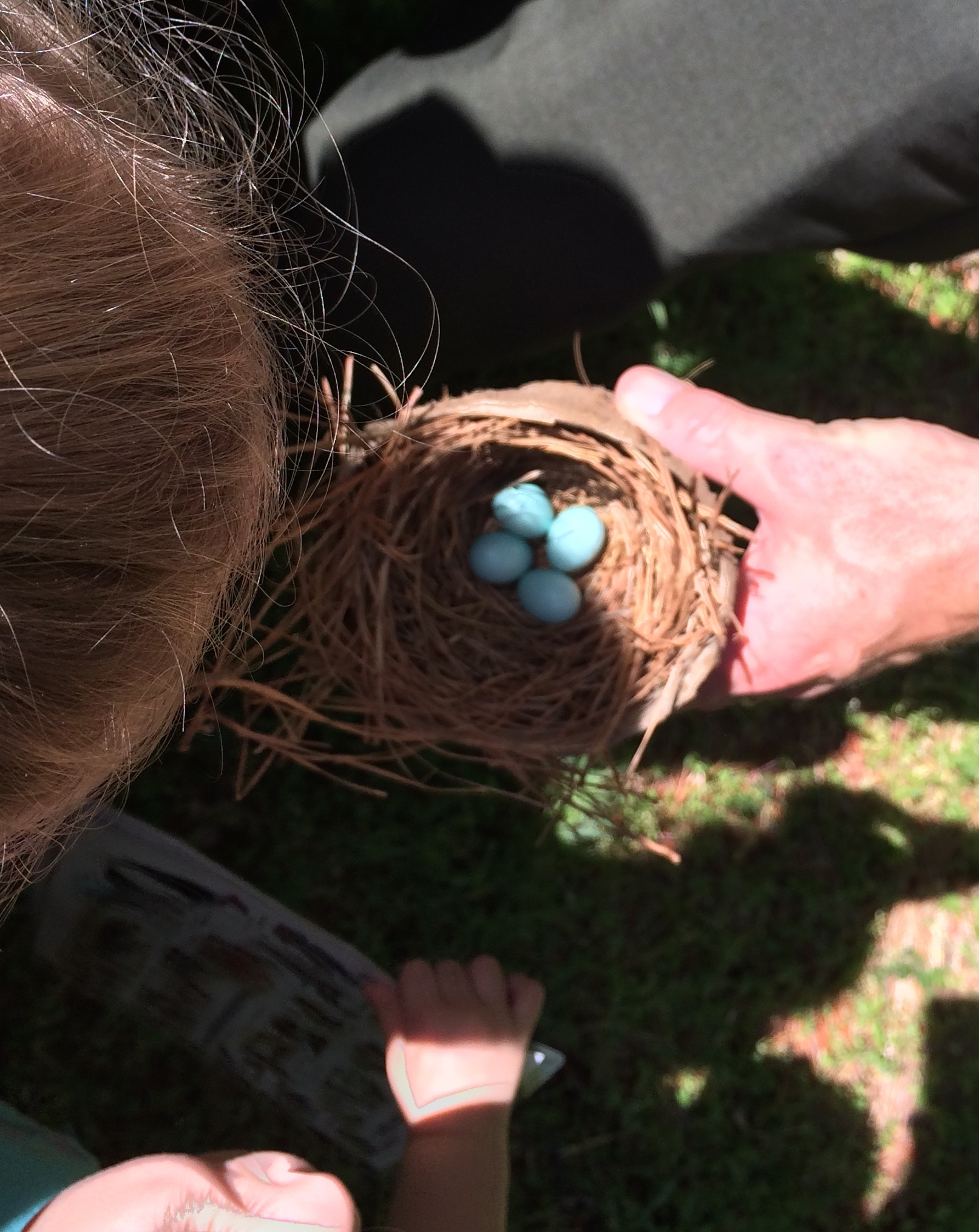
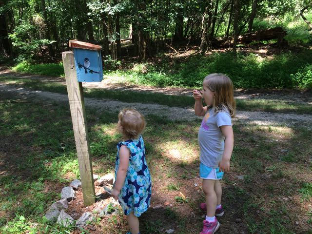 Once the girls finished in the natural play area, we walked across the parking lot and open field area to the bird and butterfly garden. The butterfly garden has a short trail surrounded by natural butterfly habitats of lilac, Queen Anne’s Lace, daylilies, eastern blue star and more. The butterfly garden leads into the shaded bird garden that features a mulched trail with several feeders, bird houses, and informational guides. We heard and saw a lot of birds flying in and around the gardens, but my bird identification skills are pretty pathetic – maybe some adult birding classes are in my future!


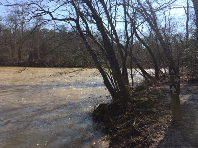 On day 2 of our
  This trail is about 1.3 miles in total length and is marked as being moderate. The only moderate part of the hike was heading up the bluffs on the way back. The parts along the river were flat and quiet, the only sounds coming from the river and wee ones. In the future when the kids are much bigger I’d love to explore this area further by canoe and camping!


 Two months ago our family headed west to Dobson, NC to visit old neighbors and friends whose son was having a first birthday. Wanting to extend the trip so we could explore more of the Yadkin Valley area, we made it a three-day trip so we could visit Pilot Mountain State Park, the nearby towns, and vineyards. Having passed Pilot Mountain dozens of times via US-52 on our way to Blacksburg, VA we had always wanted to explore this area.
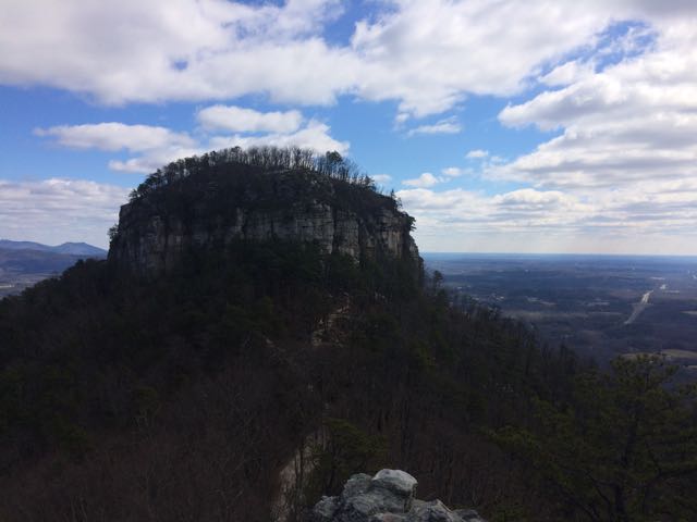 After a restful sleep on Thursday night we got up early and headed for Pilot Mountain State Park. We made a beginner’s mistake by going to the Bean Shoals Access of Pilot Mountain and after a 20 minute detour we found the main entrance to the park (
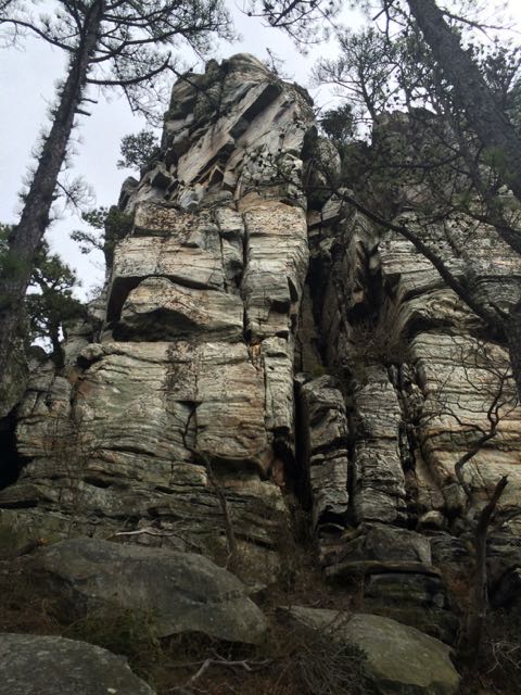 Jomeokee Trail is a short 0.8 mile looped hike around the base of big pinnacle sitting at 2400 ft elevation. To the Saura Indians, the earliest known inhabitants of the area, the mountain was known as Jomeokee, the “Great Guide” or “Pilot.” We headed around the trail counterclockwise, climbing up and down rock steps. There was little up and down terrain on the trail, but the cliff views were impressive to say the least. The trail can get rather narrow and offers some really up close views of the 200 ft Big Pinnacle. After making it about halfway around the base, our crew decided to call it a success and head back, given the cliff views were getting a little too hairy and too close for comfort (there are no railings).


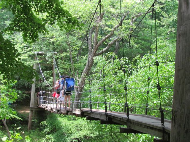 This summer we explored Eno River State Park in Durham over Memorial Day weekend. Despite a 40 minute drive and a lot of preschooler crying when we first arrived because there was no playground in sight, we enjoyed the short hike across the swaying footbridge and to the river.
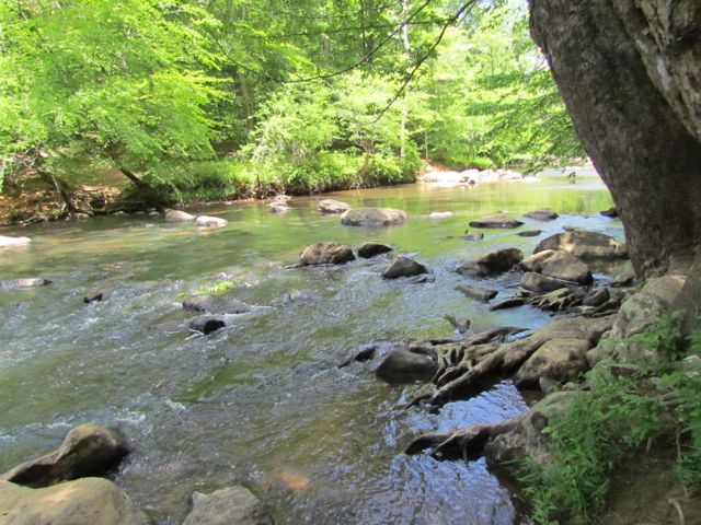 After we reached the bank of the river, we followed the trail over a narrow suspension footbridge that seemed like a much, much less dramatic version of the foot bridge Indiana Jones crossed in Indiana Jones and the Temple of Doom. It’s less than a 15ft drop to the river, but with large openings in the sides of the bridge I walked Ashley slowly across the bridge, trying to reiterate the importance of no jumping on the bridge.
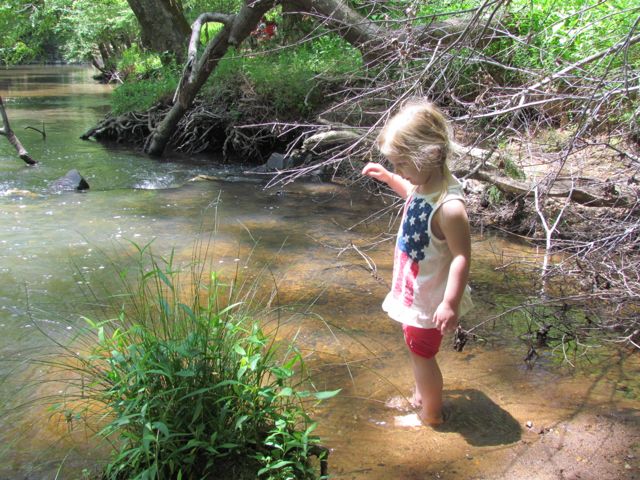 On our hike back we stopped in one of the several swimming holes to splash around a bit, promising to bring the girls back again soon with bathing suits in tow. Other than over 25 miles of hiking, Eno River State Park offers fishing, camping, canoeing, educational programs, the annual


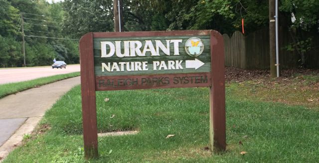 In early Fall we headed out to Durant Nature Preserve with some friends to enjoy their weekly Wee Walkers program (Thursdays from 10-11am). Having never visited Durant Nature Preserve before I’m glad I attended an organized program that guides you and the kiddos on a short walk through the park because this nature park is huge! Durant Nature Preserve is located at
 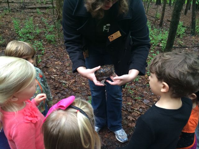 We hiked along the eastern side of the park following the Pine Ridge Connector, Pine Ridge Trail and Lakeside unpaved trails. Our guide stopped several times along the trail to point out a variety of flora and fauna. We saw a little bit of everything: wasp nests, leaf poppers, water striders, water frogs, mushrooms, mosquito fish, poplar tulip leaves, muscadine grapes, dogwood berries and a real turtle! The kids (ranging in ages from under 1 to 5 years old) were most impressed by the turtle walking along the trail, but it’s been fun to see how Ashley gets excited when she sees dogwood berries in the backyard! The neat part about the Wee Walkers program is that each program is different because it’s based on what’s going on in nature that week and it’s FREE…what a deal!


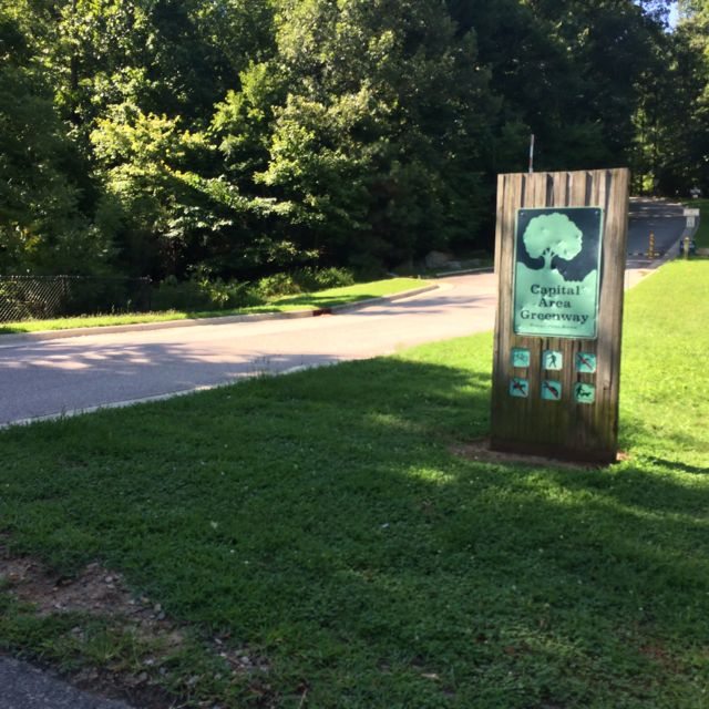 So, after a Monday morning camp drop-off at Greystone Rec Center, Claire and I researched nearby greenways to explore using the


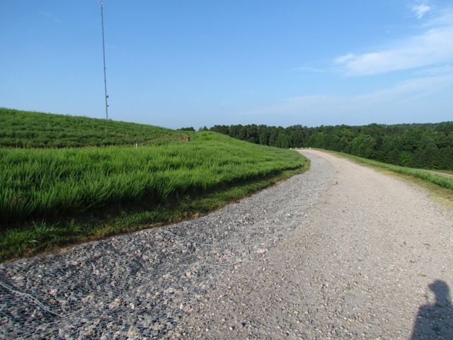 After about an hour of exploring and taking photos of downtown Raleigh, I headed back to North Raleigh to capture photos from one of the highest places of elevation in Raleigh – Top of the Hill trail in North Wake Landfill District Park. I’ve visited this park before,
 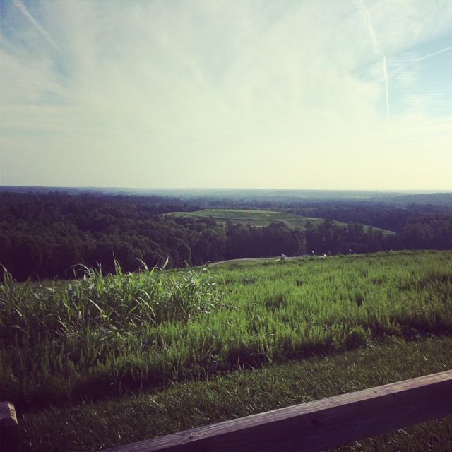 Other than great views from the top, there are several picnic tables, benches, and a bike rack. Even though my downtown Raleigh pictures didn’t turn out as well as I would’ve liked, the whole experience certainly fueled my desire to practice and learn more about photography.


