 When we were in Nags Head last month we spent the last full day exploring Pea Island National Wildlife Refuge, which is located on a barrier island of the Outer Banks in NC. The Pea Island National Wildlife Refuge is part of a larger national wildlife refuge system with more than 500 units that was founded by President Teddy Roosevelt in 1903 to conserve the nation’s natural living treasures. The Pea Island Refuge was established in 1938 to provide a resting and winter habitat for migratory waterfowl. It features a visitor center, the North Pond Wildlife trail (which is part of the larger Charles Kuralt Trail), and 13 miles of beaches. We did a little bit of everything just before the big storms rolled in, making the trip a perfect last day adventure!
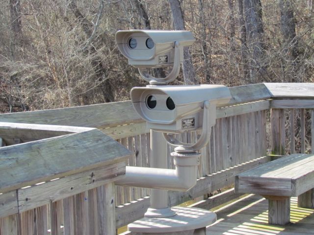
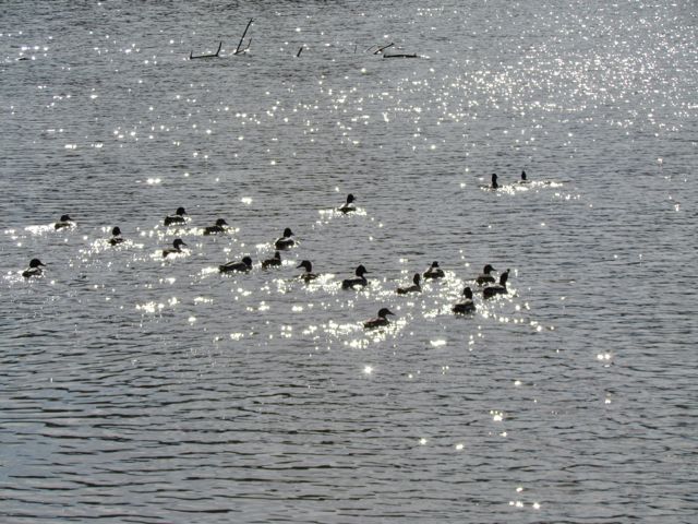
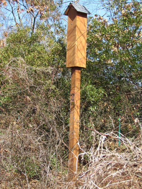
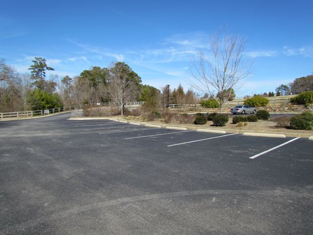
Before exploring the hiking/walking trail in the refuge, we stopped at the Pea Island Visitor Center. It is located a few miles south of Oregon Inlet along NC 12 (not to be confused with the National Wildlife Refuge Center main complex located on Roanoke Island). Volunteers run the visitor center and it’s free to explore. It features a few exhibits detailing the refuge’s history and animals in the area, a gift shop, scavenger hunts for kids, and telescopes for viewing into the marshes. Pea Island received its name because the migratory snow geese that frequented this area ate plants with peas in them.
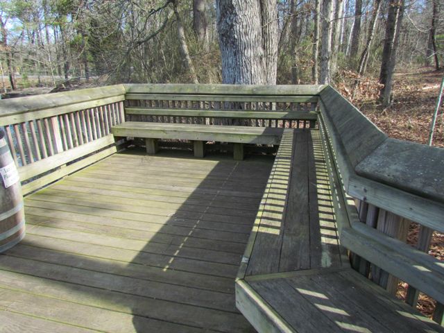
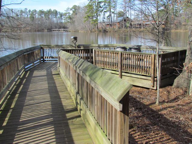
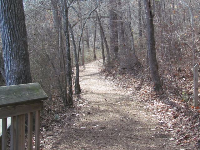
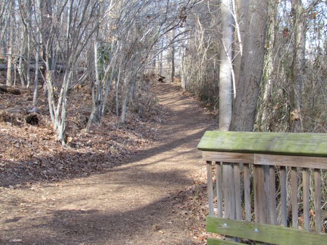
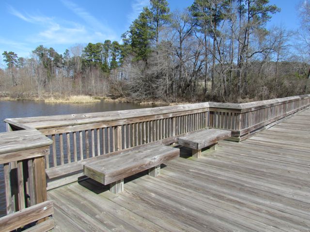
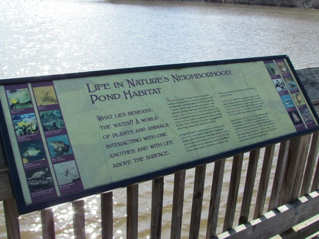
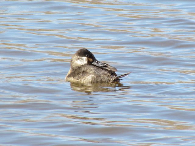
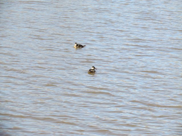
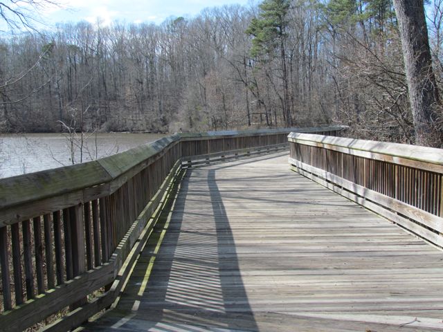
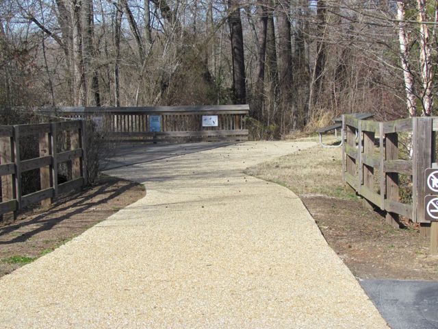
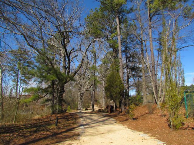
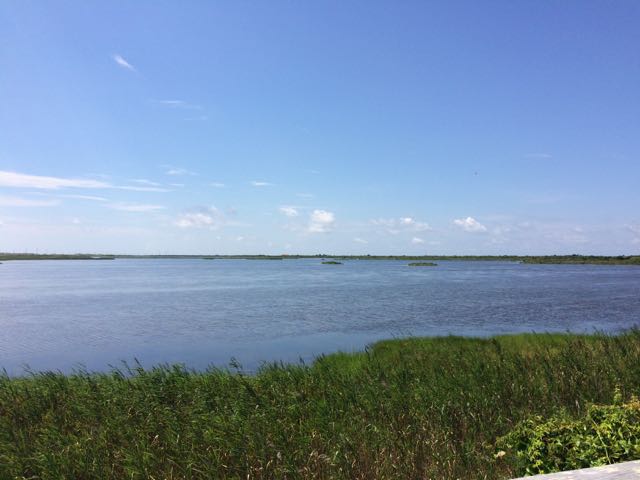
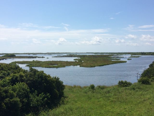
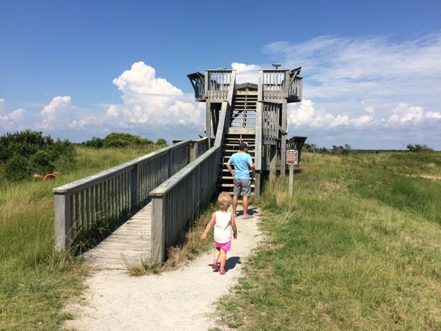 After exploring the visitor center we headed to the North Pond Wildlife trail, which is a 1 mile total walk to the observation deck and back to the visitor center. We first walked along the boardwalk and scoped out the turtles in the “turtle pond.” Continuing on, we walked along a partially paved/boardwalk path between North Pond and New Field Pond where we glanced through fixed binoculars towards North Pond. The trail then became narrow and sandy, but continued to offer beautiful unobstructed views of the ponds. At the end of the trail, we walked up the double decker observation deck, where we could see for miles and identified egrets and turkey vultures. Butterflies were plentiful this day, too. The observation deck features some informational plaques about animals in the refuge and fixed binoculars for viewing.
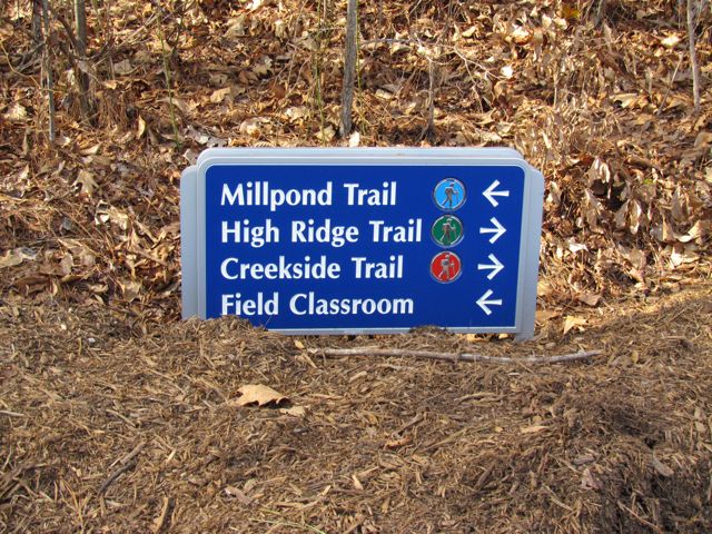
 The North Pond Wildlife Trail is part of a larger grouping of trails that make up the Charles Kuralt Trail. It was established to encourage people to enjoy the wild lands and recognize this great NC native broadcast journalist who loved exploring remote places. The Charles Kuralt Trail consists of 13 refuges or hatcheries along eastern NC and southeastern VA, offering interesting places to explore.
It was a really hot day, so we quickly walked the 1/2 mile back to the visitor center parking lot (although more adventurous hikers can complete the 4 mile loop around North Pond). After a short bathroom break, we grabbed our picnic lunch and beach bag and walked across highway NC-12 for more beach time. The Atlantic Ocean was beautiful this time of year and the water was relatively calm despite the large thunderstorm that popped up an hour later. Don’t forget to catch a glimpse of the remains of the Oriental, a Federal transport during the Civil War, which shipwrecked in 1862.
Additional Resources:
- Book: Fire on the Beach – tells the story of an all-black life saving crew who worked on Pea Island ensuring the safety of people and cargo
- Pea Island National Wildlife Refuge & Map
- Documented Wildlife at Pea Island
- Charles Kuralt Trail
Thumbs up: beautiful pond views, light foot traffic,
Thumbs down: Bathrooms near trail head


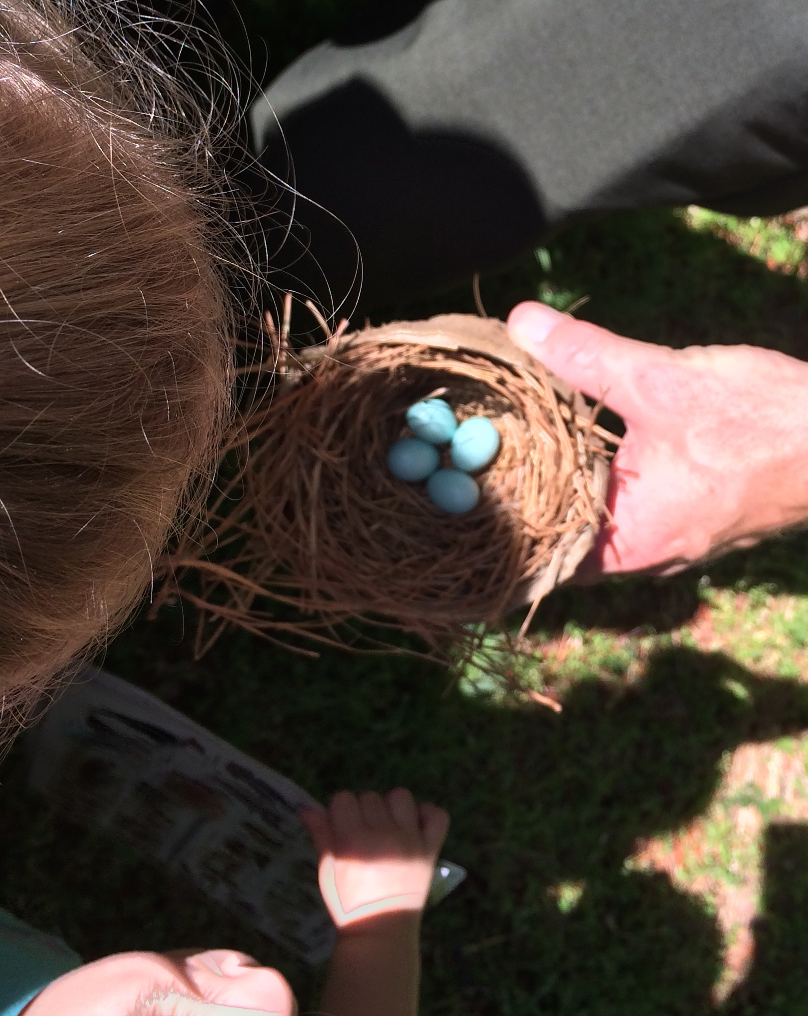
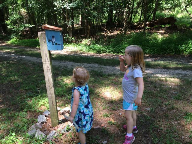 Once the girls finished in the natural play area, we walked across the parking lot and open field area to the bird and butterfly garden. The butterfly garden has a short trail surrounded by natural butterfly habitats of lilac, Queen Anne’s Lace, daylilies, eastern blue star and more. The butterfly garden leads into the shaded bird garden that features a mulched trail with several feeders, bird houses, and informational guides. We heard and saw a lot of birds flying in and around the gardens, but my bird identification skills are pretty pathetic – maybe some adult birding classes are in my future!


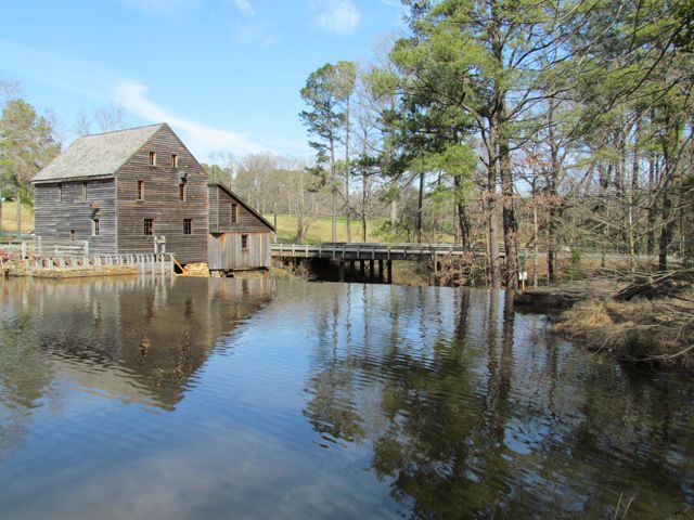
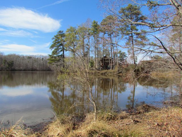
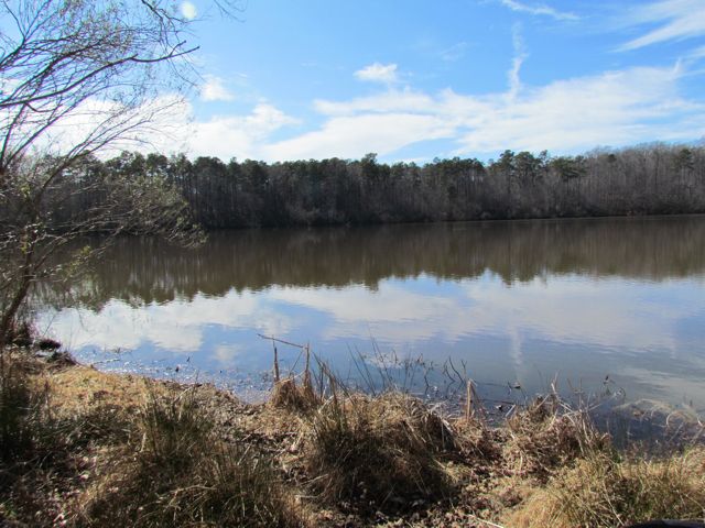
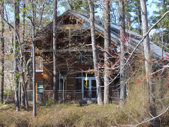
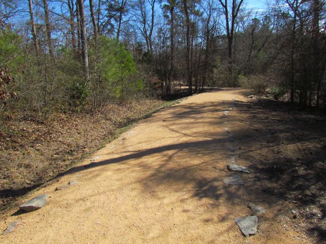
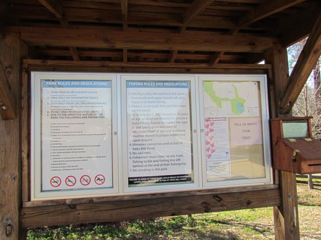
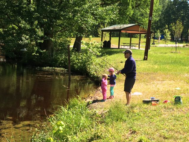 One Sunday at the end of April we headed out to Wake County’s newest park, Robertson Millpond Preserve for some fishing. Not knowing what to expect from this new park, we quickly discovered that Robertson Millpond Preserve is a local natural refuge for recreation and relaxation. Its main attraction is the blackwater cypress-gum swamp, making you feel transported to the lowcountry!
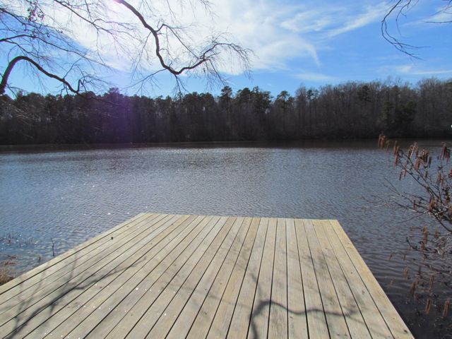
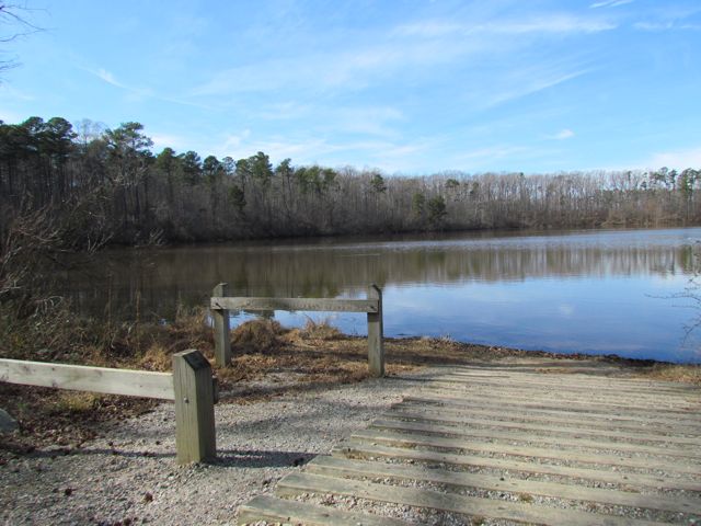
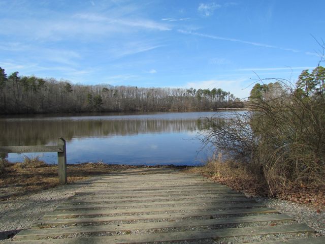
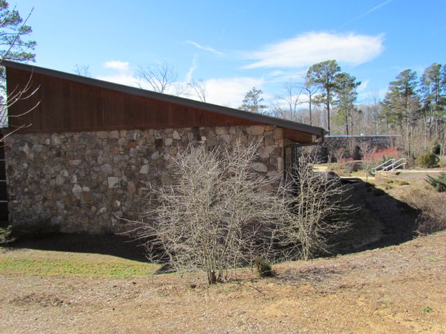
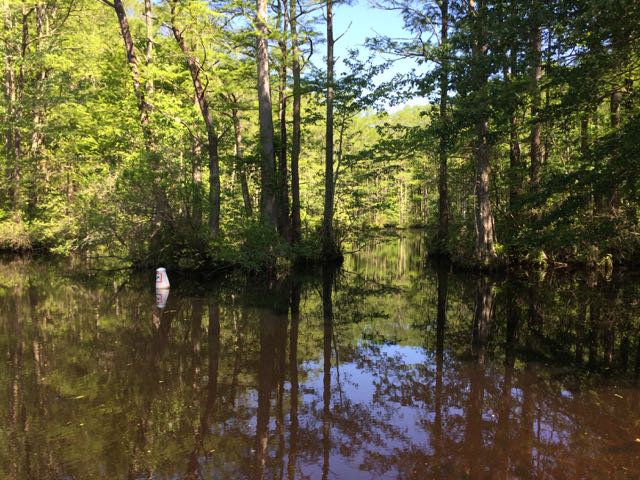 This particular Sunday we enjoyed the park all to ourselves for several hours. We explored the boat ramp (only non-motorized boats are allowed) down to the pond where we heard and saw a variety of birds and insects. Sitting on the boat dock, we gawked over the large cypress trees that envelope the pond. The park staff have installed numbered buoys in the water to created a 1/2 mile paddling trail through the pond. Since our visit,


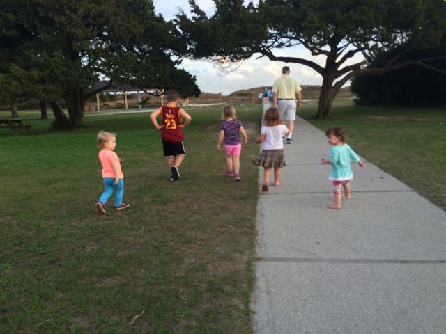 Over New Years we spent time with dear friends at their parent’s new home in Murrells Inlet, SC. I’ve known Jennie since 6th grade and Bill and Jennie’s husband, Gary, became fast friends over a decade ago when we first met Gary. With growing families and distance (they’ve been in Columbus, OH) our time spent together has been few and far between. Lucky for us they are moving to the Greater Raleigh area this Spring so our families will get more time together, which is great news for us and our kids, as they’ve all become fast friends too!
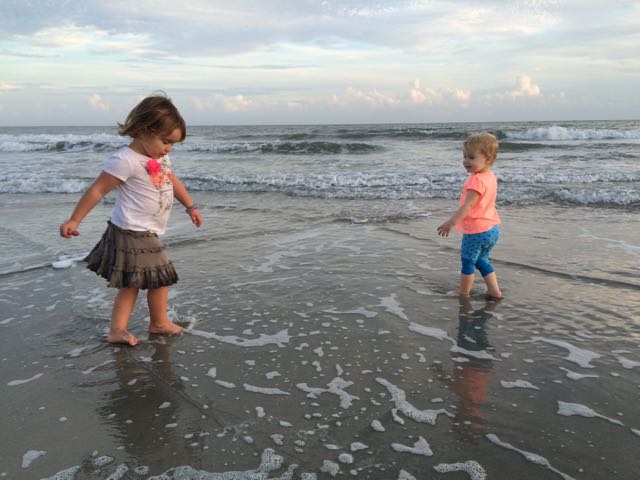 The weather was unusually warm around New Years so shortly after arriving we took advantage of the remaining sun and made the short drive to Huntington Beach State Park, located at
 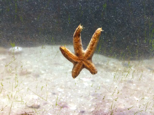 The next day we returned to the park to explore the Education Center, which is only open during daytime hours and offers daily feeding times where you can watch and learn how they feed several of the animals. With about two dozen animals to look at and learn about, we spent well over an hour in the center. They have a touch-tank with a horseshoe crab and stingray, a star fish, baby alligator, terrapins, snakes, turtles, and some hands-on exhibits about the nearby environment. The tanks are at perfect heights for little ones to get in on the action. After we exhausted the Education Center, the kids enjoyed a snack on the outdoor benches and we ran along the boardwalk overlooking the saltwater marshes. We learned about the numerous inhabitants – spider crabs, stone crabs, snapping shrimp, oysters, alligators, and lots of birds. Even though we didn’t see any of the 50-100 alligators living in the park we saw several oysters and lots of birds up close!


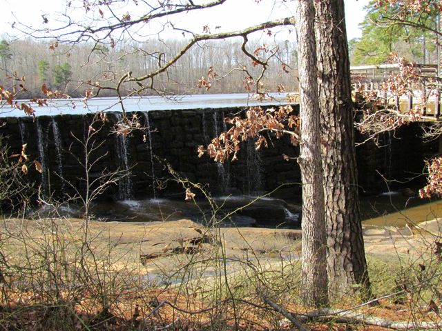
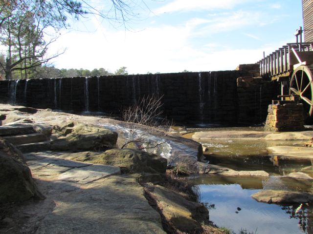
 This fall we wanted to further explore Falls Lake so we set off with intentions to start closer to the dam and finish
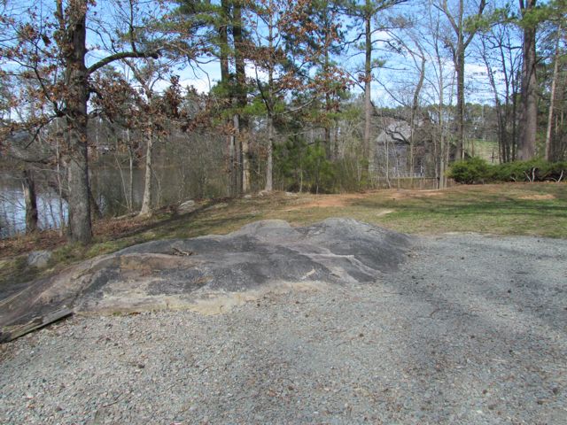
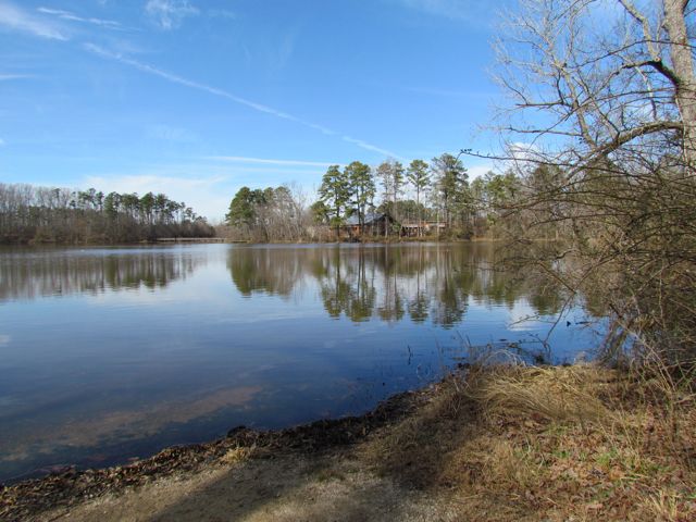
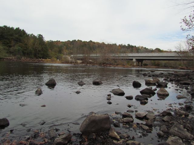
 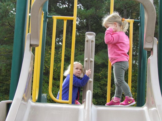 The playground is designed for ages 5-12 and includes a few slides, climbing structures, tic-tac-toe, and several nearby picnic tables and benches. It’s a small playground, but the perfect size for a park with so many more activities. After taking in the views from the top of the dam, we walked down the unpaved trail adjacent to the playground where we got up close and personal with the beginning of the Neuse River. The girls enjoyed throwing rocks in the water while we saw fishermen and birds. There’s also a small parking lot, canoe launch, restrooms, information map, picnic tables, and access to the start of the Neuse River Trail greenway at the bottom of the dam.


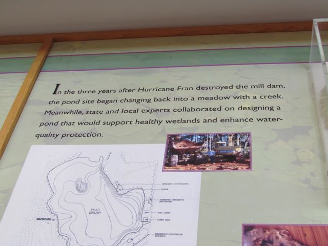
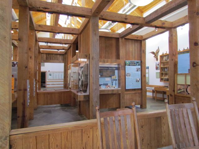
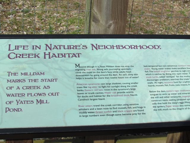
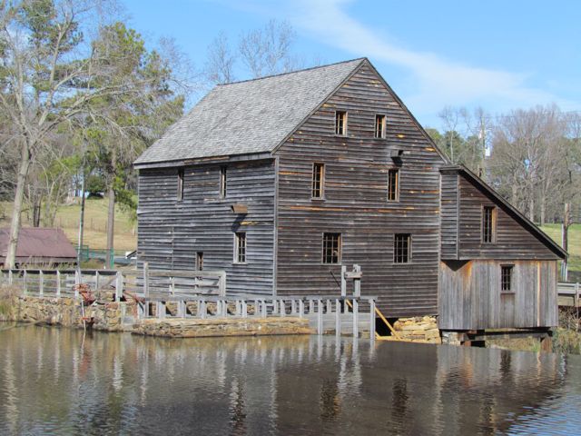
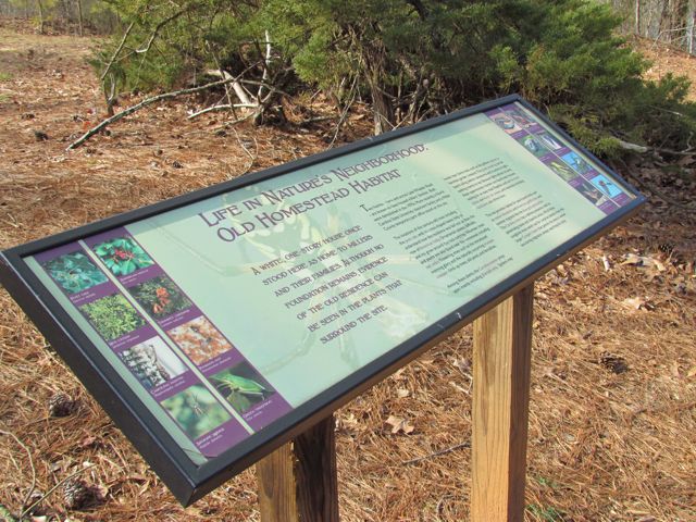
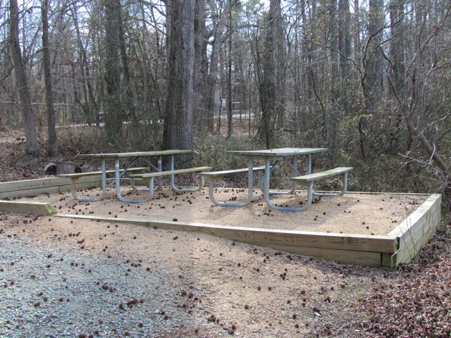
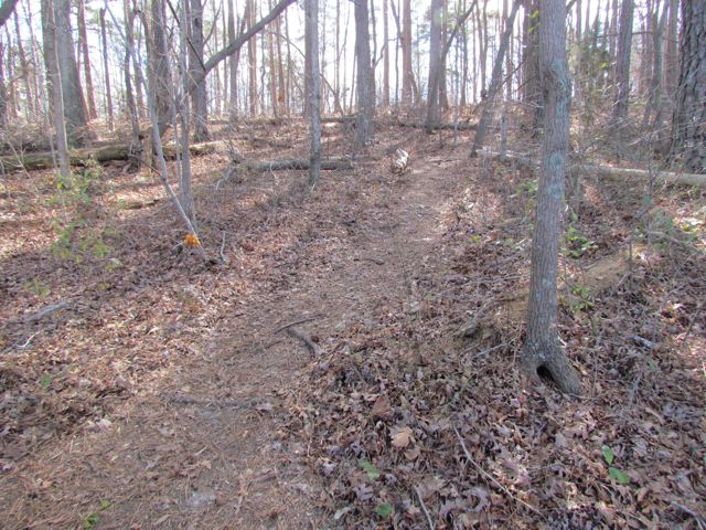
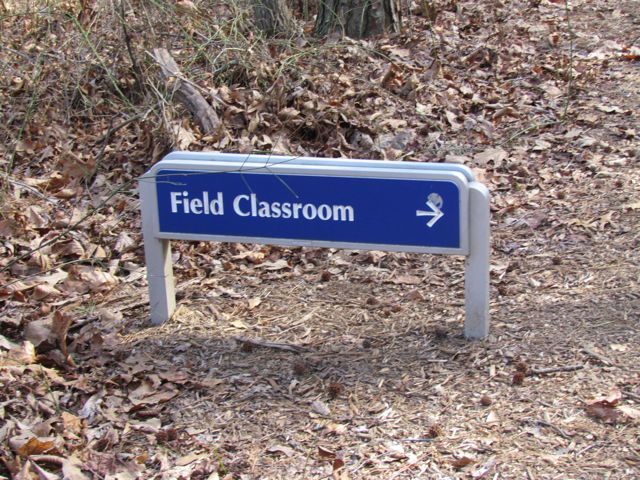
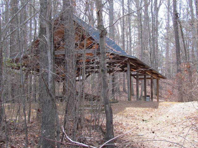
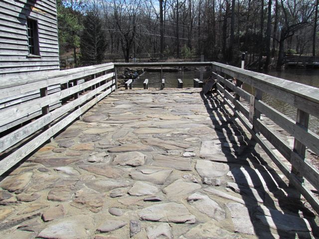
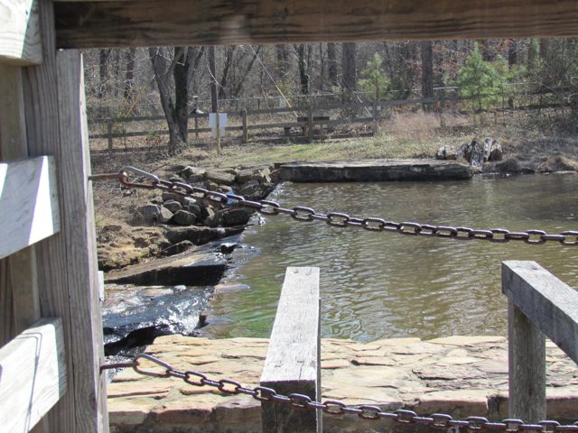
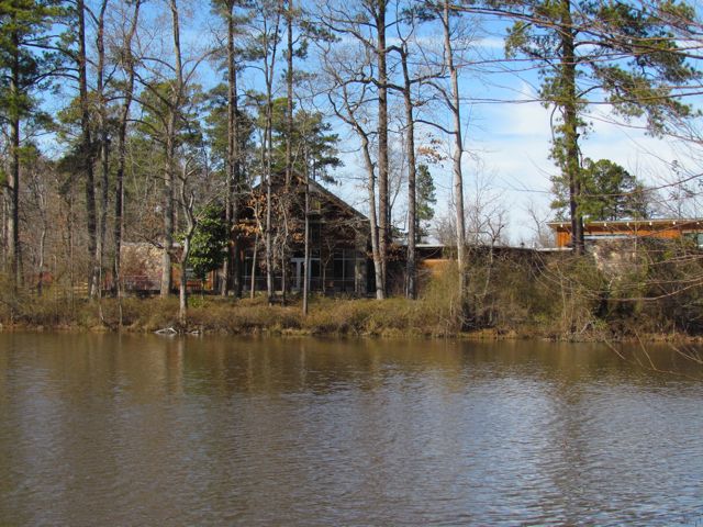
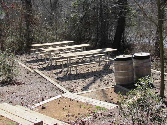
 Next, we passed by several picnic tables and open spaces on our way to the grassy walking trail. The trail follows along the stream and then crosses into the lowland forest and piedmont prairie areas. Near the piedmont prairie area is a building that overlooks the pond that is made for bird watching. The kids had a great time looking for birds and playing in the building. After we arrived back at the beginning of the trail (about 1/2 mile total) we visited the Green Building, which is used mostly for educational programs but also has restrooms and a back deck great for picnics. Since we didn’t pack a picnic we continued to explore the grounds and settled in the Nature Neighborhood Garden. The garden features NC native plants, dry stream beds for collecting run-off water, a koi pond and more. Claire and I enjoyed some quiet time on the benches under the pavilion before heading out.


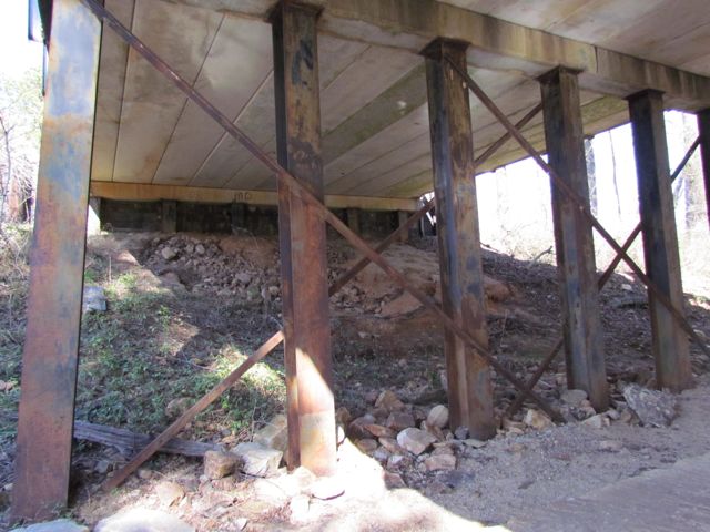
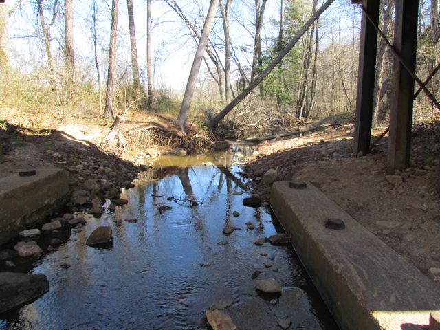
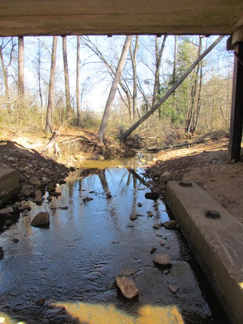
 When we reached the end of Abbotts Creek Trail we turned left north onto the Neuse River Trail for a bit before turning around. While on the Upper Neuse River Trail we passed the 2 3/4 mile mark and were impressed with the information guides about the floodplains and benches along the way. Our out and back run was a total of 3.2 miles and I look forward to getting back up here again to explore the southern half of Abbotts Creek Trail, which I think leads to the