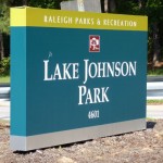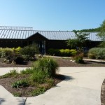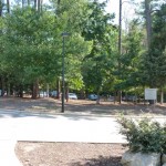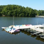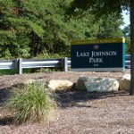
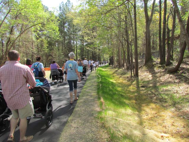
A couple of months ago we attended the Neuse River Trail grand opening at Anderson Point Park located at 20 Anderson Point Dr. Most grand openings we attend are usually low-key and only involve a few important speakers, but this celebration was full of food trucks, live music, crafts for kids, local vendors and more. As typical, we sat through 5 minutes of the grand opening speeches and then played on the playground before hitting up the food, vendors and crafts.
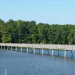
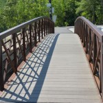
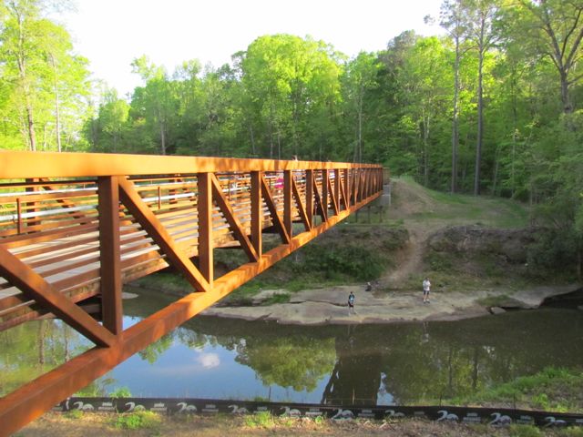
The Neuse River Trail is located on the eastern side of Raleigh paralleling the Neuse River with 7 bridges over the river throughout the trail; it begins at Falls Dam Lake and continues south past the WRAL Soccer Park, Buffaloe Rd Park, Milburnie Park, Anderson Pointe Park and to the Johnston County line. The new section of trail added 20 additional miles, bringing the total distance of this paved trail to 27.5 miles. The Neuse River Trail allows for easy connections west to Crabtree Creek Trail or Walnut Creek Trail and is a great connection between the municipalities of Wake Forest, Raleigh, Knightdale, and Johnston County. Part of the trail is also a segment of the Mountains to Sea Trail that extends from the Great Smokey Mountains to the Outer Banks.
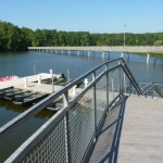
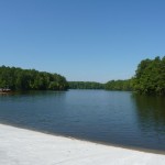
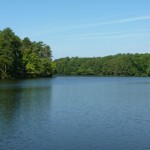
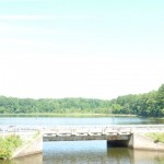
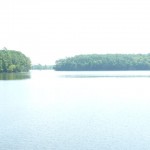
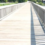
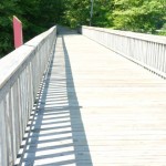
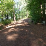
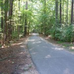
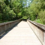
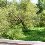
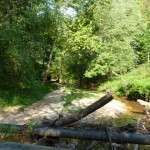
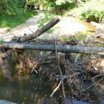
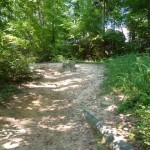
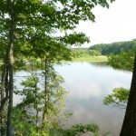
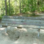
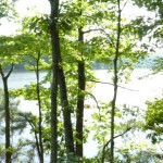
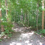
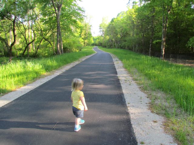 After devouring some delicious pizza from my favorite local food truck, Klausie’s, Ashley and I headed south on the trail for about a mile before her patience and the time got the best of us. The parts of the trail we walked were gorgeous – the trails are 10ft wide, the views of the river are amazing, and the bridges make for exciting photo ops.
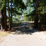
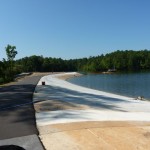
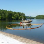
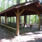
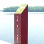
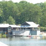
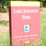
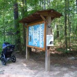
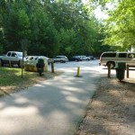
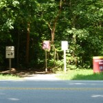
To access the Neuse River Trail near Anderson Point Park, the parking spots are either inside the park or at the parking lot near the canoe put-in at 22 Anderson Point Dr. At this location, you’ll be near mile marker 17 of 27.5. I can’t wait to return and explore more of the trail on bike next time!
Additional Resources:
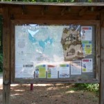
- Greenway map (includes parking and trail information)
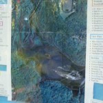
- Neuse River Trail map (detailed)
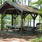
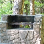
- Anderson Point Park review
- Dedication & historical information
Thumbs up: condition of trail, scenic views of river, photo ops, bridges
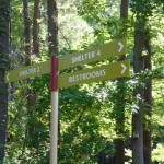
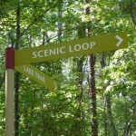
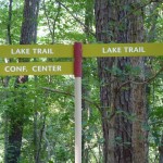
Thumbs down: signage to trails from within park


 About a month ago we attended the


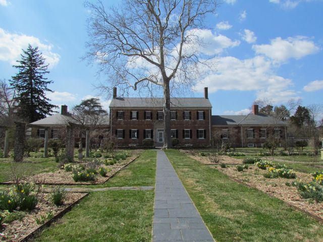 Today, Chatham Manor and its grounds are still beautiful and a symbol of the South. The entrance through the gardens is surrounded by a large brick wall. We visited at the beginning of Virginia’s spring season so the gardens were popping with daffodils. Other than the main house, there is a fish pond, kitchen, dairy barn, and greenhouse. The main house has exhibits that are open to visitors (our little visitor was not interested in walking through the house that day) but the other structures on the property are not open to the public. The back of the property overlooks the river, providing gorgeous views of downtown Fredericksburg. You can also see a replica cannon and pontoon bridge, similar to what General Burnside’s Union army used to cross the river in 1862.


 So, last September (yes, I’m super slack) we headed on our annual trip to Nags Head with family and friends. This trip was super special because my aunt, who used to live in Charlottesville and now lives in CA, made a trip back east to spend the week with us. Being that she used to be the one taking us on adventures to the beach when we were young it was nice to experience it with her again.
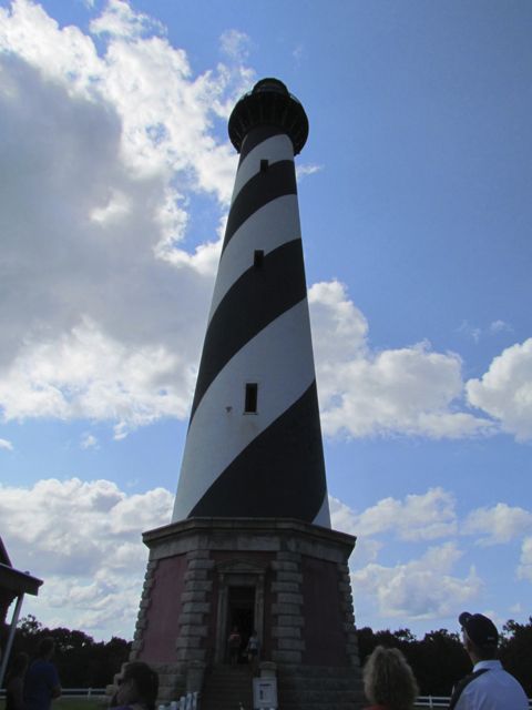
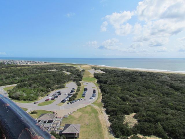 The lighthouse is operated by the National Park Service and open to the public for walking tours during the summer months so for only $7 I climbed the 240+ spiral staircase steps while Bill and Ashley scoped out the grounds and toured the light keeper’s quarters. As you can imagine, the stairway in the lighthouse is very narrow and rather steep, making two-way traffic crowded. At each “floor” there is a landing pad to rest with windows providing great views. But, the real views are when you get to the top of the lighthouse and skirt along the balcony. The railing is about 4ft high, allowing for great picture taking and breath-taking views for miles, which reminded me of views from the top of


 Oh, boy! It’s been a few weeks since I last posted about our trip to Grandfather Mountain: partly because I’ve been busy with other things, but mostly because I’m still wrapping my head around conquering the Profile Trail and Calloway Peak. Yes, I used the word “conquered” when describing this hike.
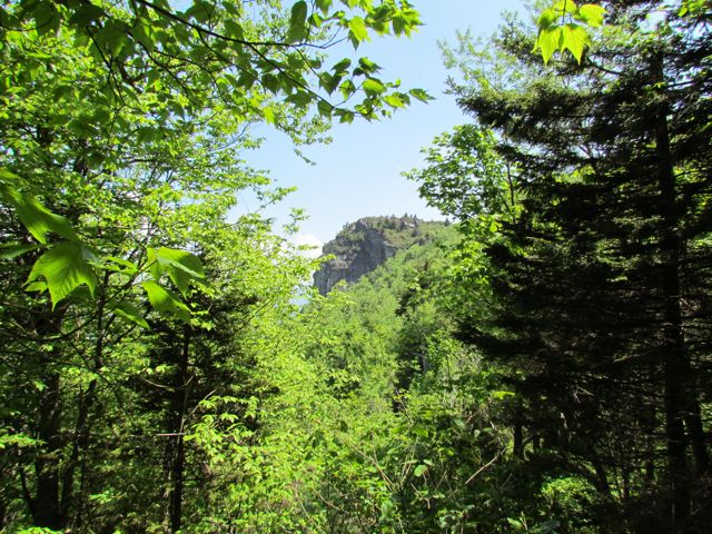 At 2.3 miles you reach Profile View, which offers a spectacular view of the Grandfather Profile. After you pass Profile View, the terrain gets much steeper and harder to ascend. At 2.7 miles you reach Shanty Spring, which is known for being the “last sure water” spot. We refilled here on the way back down the mountain as we did not come prepared with enough water. Shanty Spring is a great rest area offering a lot of shade and a cool drink before ascending the strenuous path of boulders, which lies next.
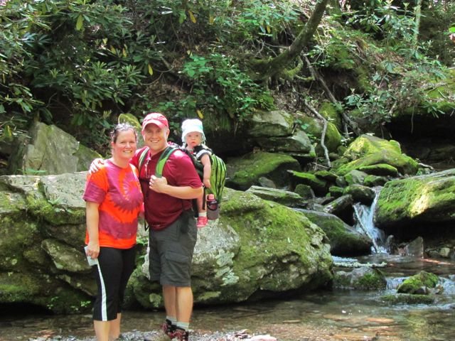
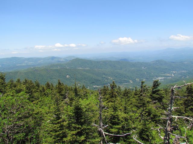 Continuing on, we headed to Calloway Peak, which includes climbing three different ladders suspended between large boulders. It was unlike anything we’d climbed before, but so were the views at the top: the sky was so blue, the mountains so green and you could see for miles.