Durant Nature Preserve: Border Trail & Secret Creek Trail

I love North Carolina’s weather. The distinct seasons provide a general schedule I can count on each year. Each season lasts long enough that I don’t tire before the next season begins. Then, sometime in early March the weather consistently warms up, the daffodils start to bloom, and the sun stretches beyond 6:00pm. That’s my signal to put away the snow gear, bust out the springtime table runner, finish birthday planning for my oldest, and welcome spring time.

The other weekend we took advantage of the gorgeous spring weather and headed to Durant Nature Preserve for a hike. We’ve visited Durant Nature Preserve several times over the years (see previous blog posts) but it had been awhile since our last trip. For this visit, we brought fishing nets, our collapsible bucket, and rain boots to play in the streams. Despite predictable resistance to hiking, the girls ended up having the best time!

Exploring the Border Trail at Durant Nature Preserve

Border Trail

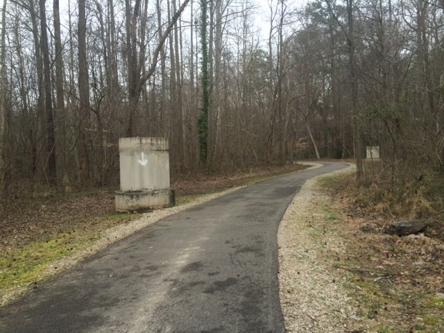
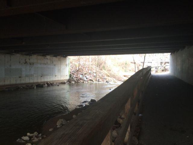
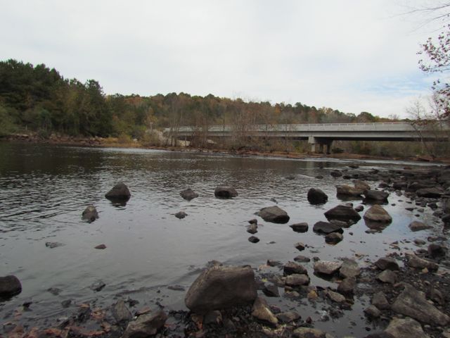
We parked at the north entrance and set off on the White House Rd Trail (see park map). Despite grumpy moods (including a short sit-in) and warning signs about muddy trail conditions we pushed on. From the White House Rd Trail we veered right onto the Border Trail, which circumnavigates the park. The Border Trail leads downhill to the creek, where at the bottom you turn left to stay on the trail. The creek sits between the wooded Border Trail on the park’s side and the paved Simms Branch Trail on the far side. Simms Branch Trail connects to Abbotts Creek greenway trail which connects to Raleigh’s longest greenway trail, the Neuse River Trail. Despite being close to a residential neighborhood the trail feels miles away. We only heard the crunching of our boots on the leaves and the trickle of the water.

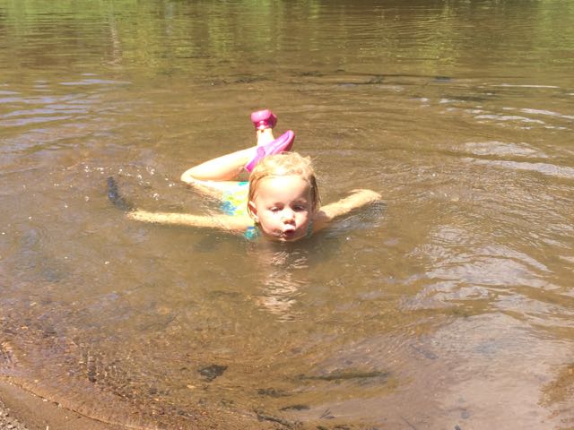
Family hiking success (for us) increases if water is involved. As soon as my kids feasted their eyes (and boots) on the creek, their hiking attitudes instantly transformed! Despite being a sunny day the water was super cold. Since the Border Trail parallels the creek, they flipped between walking on the unpaved trail and the creek. They’d scamper down the creek bank, walk through the water or hop across rocks, and then pull themselves back up the creek bank if the water level threatened to flood their boots. This type of hiking continued until we reached Whale Rocks.

Whale Rocks is a stop along the Border Trail that boasts large rock formations as big as, well, whales. My kids loved jumping from whale rock to whale rock and timing themselves to see how long it took to climb from the creek bed to the rocks and back.

After hiking with the whales we continued on the Border Trail bouncing between walking in the creek and walking on the trail. This trail is mostly flat and features many hardwood trees and rock outcrops. We found dry creek beds and natural sand pits along the way that made for fun imaginary fossil dig play. They also enjoyed climbing across several of the trees that laid across the creek.

When we hiked about halfway around the Border Trail we turned left to follow Order of the Arrow Trail to the lake. Order of the Arrow Trail is a wide, flat trail surrounded by many pine trees. At the fork in the trail we turned left to stay on the trail and continue towards the lake. When the trail intersected with White House Rd, we turned right onto White House Rd. Then we turned left on Lakeside Trail, following the north side of the lake. The map posted along the trails was a helpful guide.

The north side of Lakeside Trail parallels the edge of the lake providing gorgeous views. The girls enjoyed walking along the shore line to spot turtles, lizards, and minnows. We also saw and heard several red-tailed hawks. We walked past campsites, benches, the closed boat house, and the fishing docks before ending at the playground.

Secret Creek Trail

After playing on the playground we followed the Secret Creek Trail, which begins across from the playground. We originally discovered this trail about 3 years ago when my now 4th grader attended a field trip at Durant Nature Preserve. To this day, it was one of her most memorable fields trips. She caught (and released) tadpoles and dragonfly nymphs, and had an awesome time exploring the Secret Creek Trail with classmates.

Secret Creek Trail is an easy trail with a few small hills along the 1/2 mile hike. The trail parallels a section of the creek that has gentle banks and small waterfalls throughout. In past visits we’ve seen a family of deer behind the park office and huge turtles resting in the creek under the large trees. Again, we flip flopped between walking on the trail and walking in the water. The trail’s canopy provides a lot of coverage, making it a cooler walk during warm weather. We also discovered some large sandy spots great for picnics, digging, and relaxing. Secret Creek Trail finishes at Camp Durant Rd, so you have to walk up the hill along the road to return to the main parking lot.

After we finished our hike, we headed to Char Grill for some much needed lunch! As we ate we recounted how fun the hike was and how we can’t wait to explore it again during the warmer weather months!

Thumbs up: improved trail markings and maps, rocking climbing at Whale Rocks, easy access for exploring the creek

Thumbs down: nothing to report

Exploring Forest Ridge Park in Raleigh, NC

We’ve explored Forest Ridge Park a few times over the three years it’s been open and it never disappoints. Forest Ridge Park is such a great addition to our city’s mix of parks. It fills all the buckets: biking, playgrounds, open space, hiking, nature programs, fishing, and it has clean bathrooms.

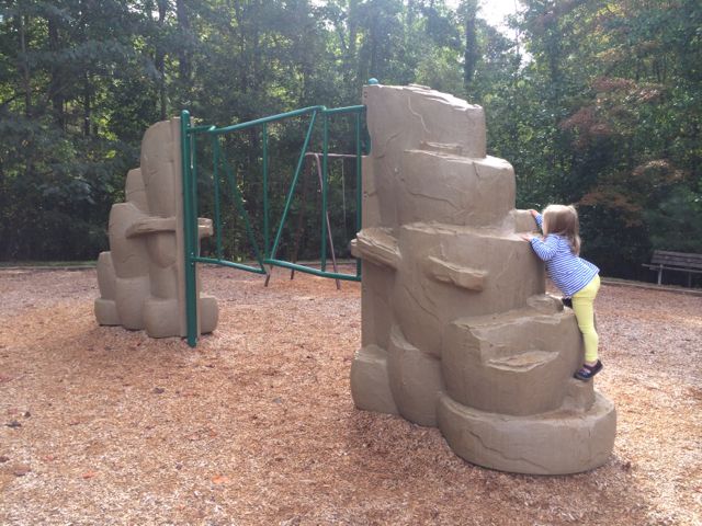
Exploring the climbing spots at Forest Ridge Park in Raleigh, NC

Forest Ridge Park is located at 2100 Old NC 98 Hwy in north Raleigh along a finger of Falls Lake. The park features nearly 600 acres of parkland with multi-use trails, a community center, playgrounds, a sand pit area for fossil digging, nature programs, mountain biking trails, and fishing.

Playgrounds

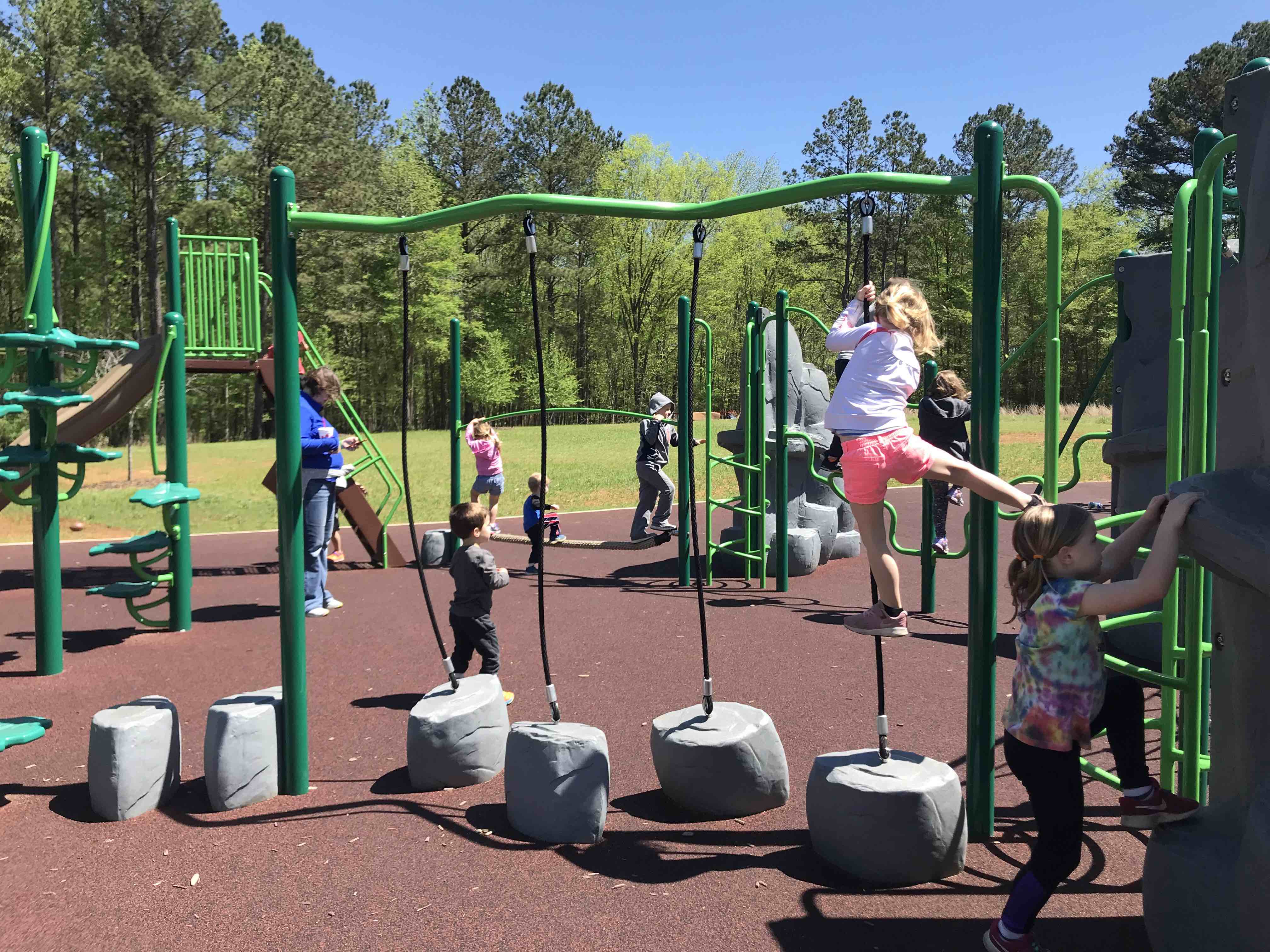
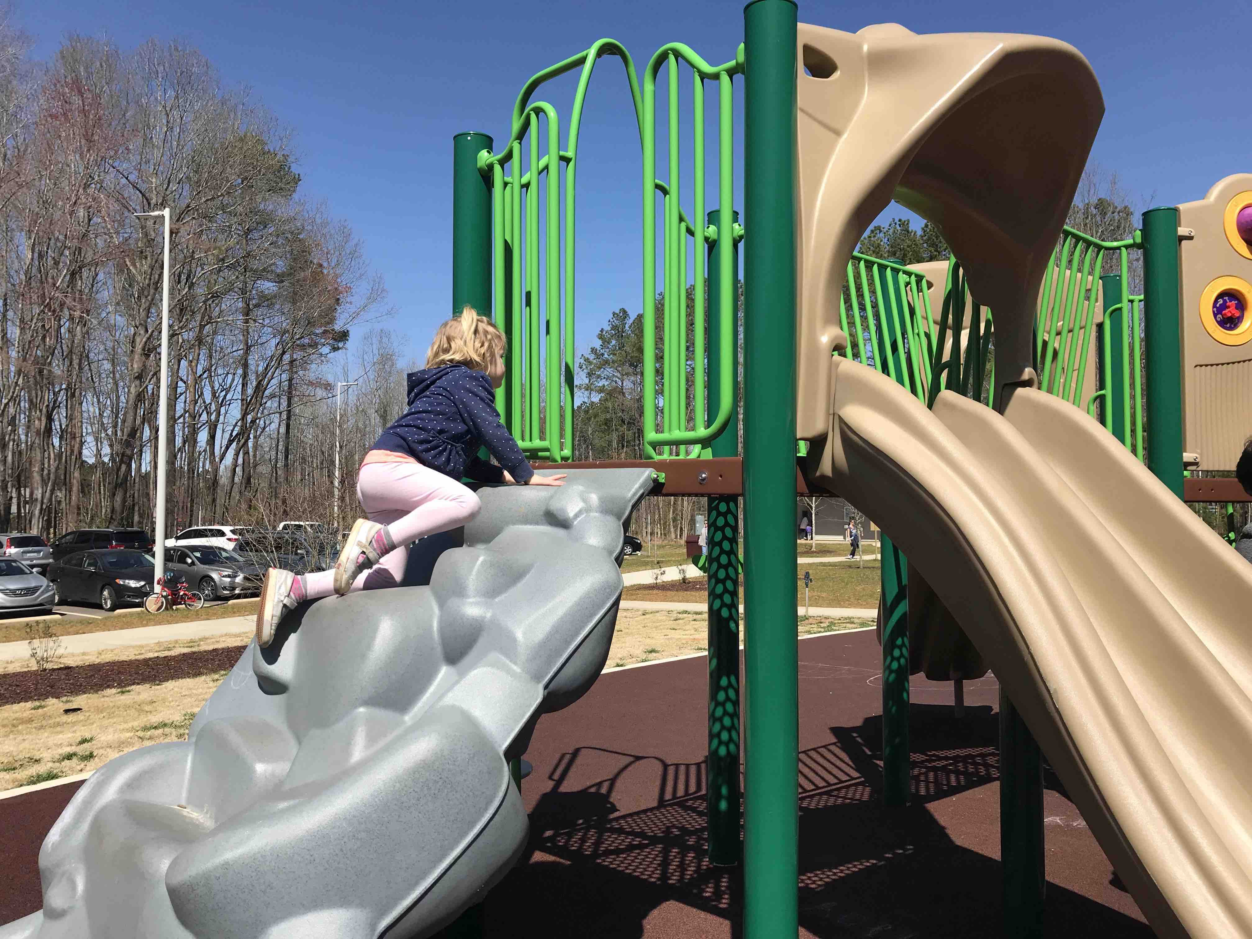
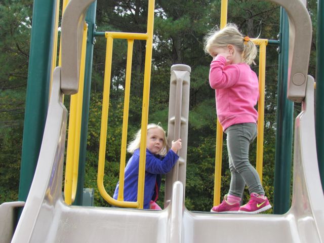
Just off the main parking lot are the large playgrounds, picnic shelters, open green space, bathrooms and wildlife garden. These areas are surrounded by a paved loop trail, which can be perfect for incorporating some biking into your outing. The playground for older kids features challenging climbing walls and ropes, zip-lining, tall slides, spinning chairs, swings, and balancing pieces. Most of the older-age playground’s features are connected, making it a super fun place to play “the floor is lava.”

The smaller-age playground features fun climbing walls, steps and ladders, single and double slides, and riding dinosaurs. Extra picnic tables with umbrellas are also conveniently located close to the playgrounds.

Trails

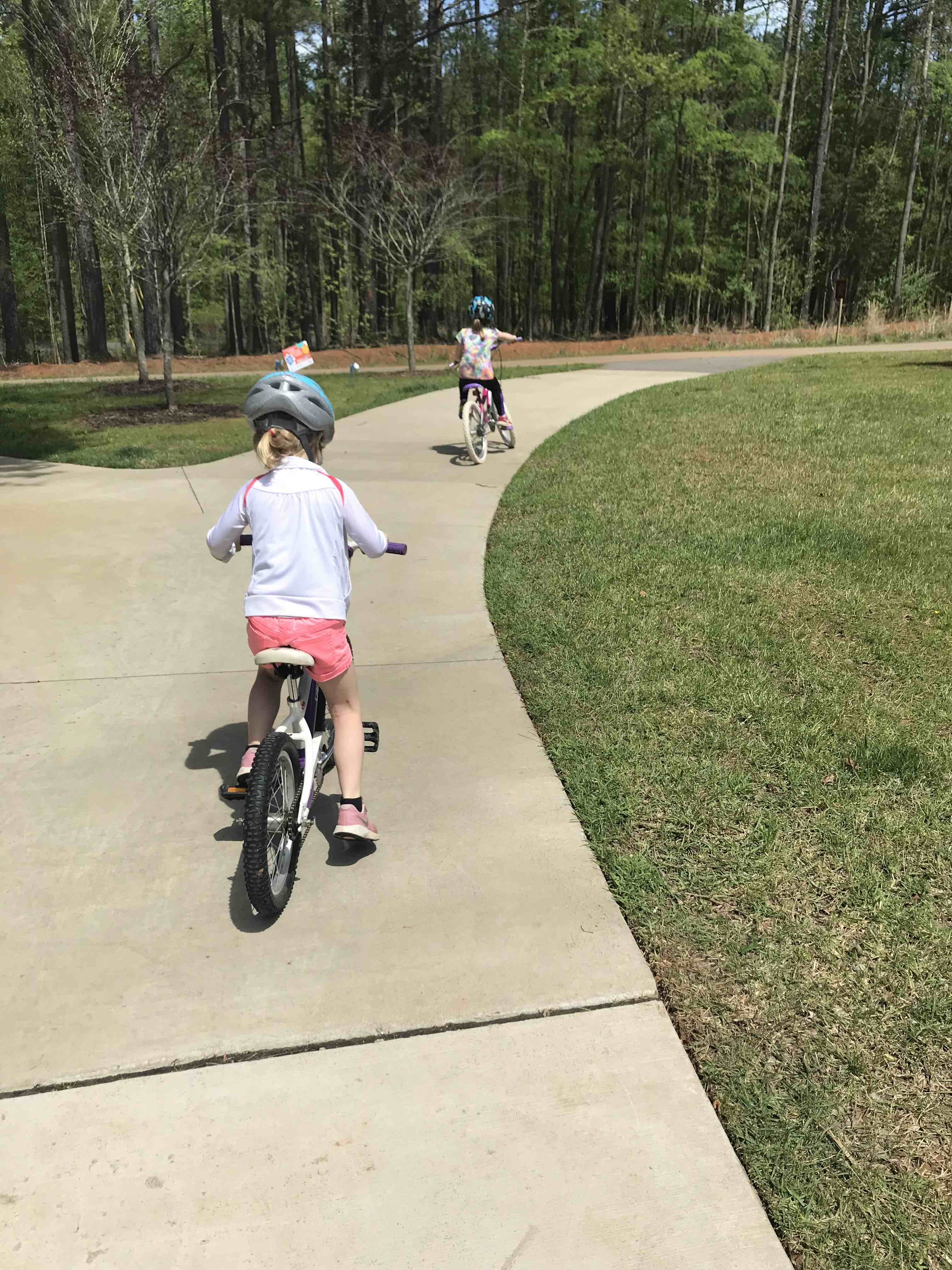
The paved loop trail surrounding the playgrounds is 1/4 mile long, contains a bike repair station, and has a fossil hunting sandpit in one corner. There’s also a large open green space in the middle perfect for pick-up sports and frisbee. When my youngest daughter started riding her pedal bike, this easy, flat loop helped build her biking confidence. The mountain biking trails are accessible along this paved loop trail as well. The few times we visited the park the mountain biking trails were closed because of wetness, so just check the status before coming.

The park’s hiking trails are located near the intersection of Old NC 98 Hwy. According to the interactive park map, the trails vary from 1/3 mile to 1.5 miles long, and are either natural or gravel. Visitors can fish from the Falls Lake shoreline by following the multi-use trail. We haven’t yet explored the hiking trails, but with so many and the close proximity to Falls Lake shoreline, I bet they’re easy, fun and packed with views.

Nature Programs and More

The Forest Ridge Park welcome center also provides explorer and art backpack loaner equipment for children and adults, along with nature programs. A quick search of upcoming winter programs showed several with spaces still available:

  • Animal Survival (program barcode 263391 and 263392)
  • Bike Maintenance course (program barcode 263395)
  • Jakes & Jennies Young Explorers (program barcode 263414)
  • Make & Take Blue Bird Boxes for Adults (program barcode 263418)

Thumbs up: challenging climbing areas, biking options, easily accessible bathrooms, plentiful picnic spots, variety of hiking trails, fun zip lining feature

Thumbs down: nothing to report

Durant Nature Preserve: White House Road & South Lakeside Trail

This past Spring we took advantage of warmer days and met friends at Durant Nature Preserve for easy family hiking (about one total mile), playground time and a picnic at the nearby Compass Rose Brewery. Durant Nature Preserve is a quiet, woodsy park with hiking trails, lakes for fishing, playgrounds, a nature play space, butterfly garden, open fields, great engaging programs, and more. We’ve explored this park several times in the past, and love discovering something new each time. For this visit, we drove to the park’s north entrance at 8305 Camp Durant Rd and parked near the small open field to access White House Road Trail.

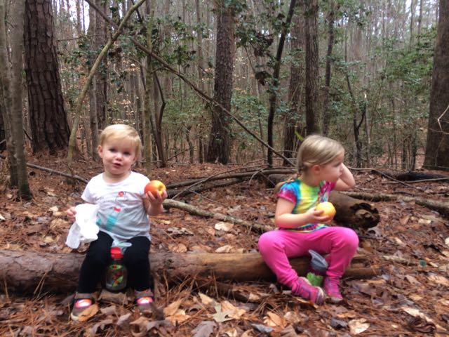
White House Road Trail is a wide, unpaved trail in a heavily wooded section of the park. Leaves and pine needles covered most of the trail, and its flat surface made it easy for kiddo running. The kids enjoyed sprinting ahead to find flora and fauna. Most of their findings consisted of moss, sticks, and listening for birds. Then, we crossed over the small gravel path that separates the lakes and turned left towards the South Lakeside Trail. 

South Lakeside Trail is a narrow dirt trail that meanders up and down along the south side of the Lower Lake. The kids enjoyed crossing small streams, finding pine cones, and throwing rocks into the lake. The trail’s gentle banks make it easy for younger children to access the water’s edge. After finishing our half mile hike along South Lakeside Trail, we walked across the lake to the playground. Finally, we finished our morning outing with a quick drive to Compass Rose Brewery for beers and a picnic lunch. 

Additional Resources:

Thumbs up: quiet outdoorsy park, easy family hiking, variety of activities to do, easy access to water’s edge

Thumbs down: lacks helpful trail signage

Neuse River Trail Beach – MP 4.5

IMG_6510Last summer Bill and I biked by this “beachy” section of the Neuse River Trail and vowed we’d make it back with the kids on a bike ride someday.  That someday was this summer, with Ashley leading the pack on her big girl bike and Claire chomping on snacks in the bike trailer.    The Neuse River Trail is our favorite spot for family bike rides with young kids because the trail is relatively flat and wide with several parking spots along the way making it easy to break your ride into small chunks.

For this bike ride we parked at the trail parking lot in the Bedford neighborhood at 10888 Bedfordtown Dr, biked down the access path and turned right onto the Neuse River Trail heading south.  We followed the greenway for about 2 miles before coming to milepost 4.5 where there’s an oxbow in the river that has created a wider sandy spot along the river bank.  Note: if you don’t want to bike/run the 2 miles, you can park closer to the oxbow at 6100 Thornton Rd and bike/run 1/2 mile. We parked and locked our bikes in a grassy spot off the greenway and walked down to the beachy area with our picnic supplies and towels (everyone already had
bathing suits on).
splashing in the neuse river beachIt hadn’t rained recently so the beachy area was actually wider and longer than I’ve seen it at other times and the river flowed slowly.  The water was pretty warm except in the middle of the river, which was over our heads in several spots.  We didn’t bring life jackets with us and the water wasn’t very clear so the girls mostly played near the shore line looking for tadpoles, playing in the sand/mud, or splashing in the water with the other young family that was there.  While we were there a few paddle boarders passed by including a father and young daughter out for a ride (next summer’s bucket list goal).

After playing in the water for awhile we enjoyed our picnic lunch on the beach before heading back to the car.  The bike ride north was a bit more uphill than the ride out, but the girls kept their cool and did great.  I look forward to returning to this secret spot again next summer!

Helpful Hints:

  • Wear shoes good for getting wet in the river
  • Bring life jackets for little ones
  • Be conscious of recent rains before coming out; river levels may be too high to safely play
  • Bring towels and small sand buckets
  • Parking options: 10888 Bedfordtown Dr (2 miles away) or 6100 Thornton Rd (1/2 mile away)

Thumbs up: fun bike ride/swimming activity, exploring the shore line for tadpoles and fish, lots of shady spots, very private area where you can’t see the beach from the greenway

Thumbs down: water was murky so be careful when swimming

Update: Annie Louise Wilkerson Nature Preserve Park

Annie Louise Wilkerson Nature Preserve ParkOn a cloudy summer day we headed to Annie Louise Wilkerson Nature Preserve Park to explore the nature playground and do some light hiking.  It’d been awhile since we’d last visited this park, and now that both girls are becoming more able to hike short distances on their own without losing their minds, it’s been more fun to take them along.  This park is especially great for little ones because all of the hiking trails are short (less than 1 mile each) and several are shaded!

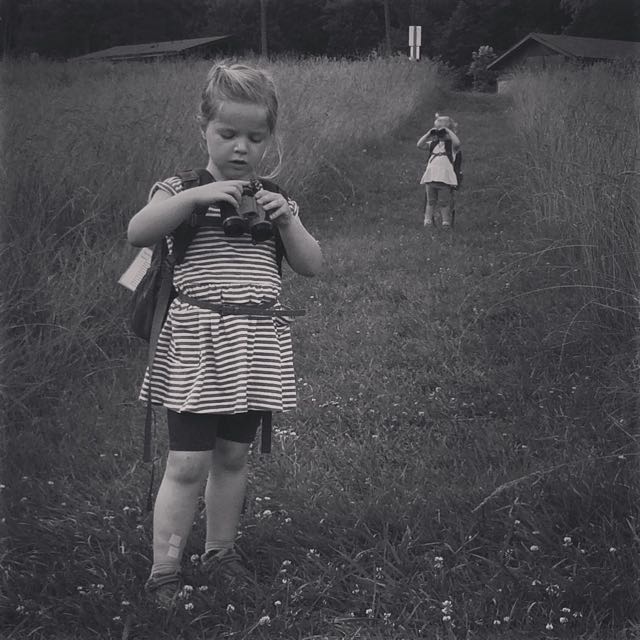
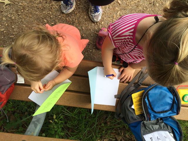
Annie Louise Wilkerson Park is located north of I-540 at 5229 Awls Haven Dr just off Raven Ridge Rd. Upon arriving, we visited the main park office to check out the Explorer Backpacks they lend out to children.  Both girls were super pumped about having their own hiking backpacks to use on the trails.  The friendly park staff showed us everything in the backpacks, which included binoculars, compass, nature journal (to take home), bug collection jars, park maps, and laminated animal/insect ID cards.  After suiting up with the backpacks, we visited with the park turtles outside the park office and then headed towards the pond to walk the 1/2 mile turtle pond trail.  We followed the mowed path and turned left on the trail to head clockwise around the pond.  Along the way, we walked closer to the pond to spot the turtles and have a snack on the bench.  The girls also spent some time drawing in their nature journals. After a quick stop we continued on the loop trail, which meanders through full-sun meadows around the pond.  The girls enjoyed seeing the wildflowers along the way and were impressed that the grasses on both sides of the trail are almost as tall as they are!

IMG_5356After our short hike we walked through Dr. Wilkerson’s former home, which has been renovated into an Education Center for the purpose of being a nature park research center.  The front room is a mini museum of Dr. Wilkerson, highlighting her career and time she spent on the farm.  We didn’t visit the other parts of the center, but the COR website notes it has science labs, classrooms, and kitchen area.  The girls also enjoyed playing with the working old well pump outside the center.

Then we headed back towards the front of the park and played in the natural play area, adjacent to the bathrooms and pavilion.  The full-sun play area features a teepee, natural twig tunnel, stump stepping area, and tall grasses.  Just down from the full-sun play area is a continuation of the natural play area in the wooded area featuring a large sand box, bamboo sticks for building, bamboo chin-up bar, sticks and dirt for miles, fairy house supplies, and short fairy and troll trails through the woods.  The girls went nuts for the fairy and troll trails and loved walking the trails and trying to find the next “fairy or troll” character or house along the way.  The trails are short, narrow paths through the lush green forest.  After walking the trails the girls proceeded to make fairy houses on their own for over an hour. It was one blissful hour where a 5 year old and an almost 3 year old played together and on their own with ZERO fighting.  I felt like I hit the jackpot! I just sat back on the bench or in the sandbox and watched their little minds work – asking each other for help, digging through sand and dirt to find fairy house supplies, exploring the trails for ideas.  They created and it was so much fun to watch.

We had so much fun creating fairy houses at the park that we also went to Michaels craft store to buy our own supplies and purchased the Fairy Gardening: Create Your Own Magical Miniature Garden for decorating ideas. We spent the next day at home building and designing our own fairy gardens, which was a lot of fun! Visiting Annie Louise Wilkerson Park really helped transition us from preschool to summer and I’ll always remember the fun memories we made that morning at the park!  We didn’t even have time to explore the free activities inside the park office, which we’ll plan to do for another day!

Additional Resources:

Thumbs up: short hiking trails great for preschoolers, friendly park staff, shaded nature playground, convenient outdoor bathrooms, Explorer Backpack lending program, enchanting fairy/troll trails and houses

Thumbs down: shorter weekend park hours

Falls Lake Day-Hike D: Flipped Car Hike

IMG_3606We took advantage of the gorgeous weather over Christmas break and spent a lot of time exploring new places outside.  The day after Christmas we drove north to Falls Lake for a 2.5 mile morning hike.  If you haven’t checked out the day hike ideas by the folks at Friends of the Mountains to Sea Trail (MST), make it something you do this Spring.  The day-hike information includes detailed directions (including distance, difficulty ratings, for day-hikes in the mountains of the Blue Ridge Parkway, the Raleigh-Durham (Triangle) region and the Coastal Plain.

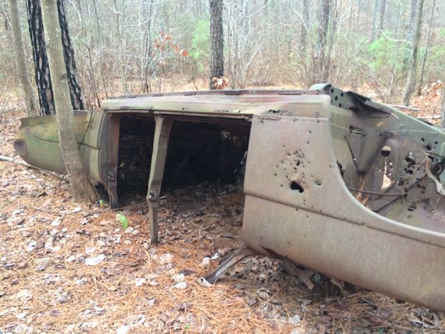
IMG_3612We hiked Day-Hike D that starts near 15009 Possum Track Rd with roadside parking.  After getting the backpack gear on, we headed for the nearby trailhead with “Mountains to Sea Trail” markings and hiked in a westerly direction. This complete hike is about 2.9 miles one way, but we hiked about 1.25 miles out and back for 2.5 total miles.  This stretch of the trail features mostly flat land, hardwood forests with pines, a few views of the lake, some creek views and a flipped vintage car (about a mile into the hike).  According to an MST hiker, this car might be a 1951 Hudson Pacemaker. Ever so often we came to a clearing that was pretty muddy due to all the recent rains.  Before we turned around we stopped in a clearing for a quick apple snack and also caught sight of a few residential homes.

Along our hike we also passed several hunters (and hikers, too) so be sure to wear bright colors if you go on this hike.  Some or all of this land is on game lands and hunting is allowed (I overlooked this detail when initially planning our hike).  The hunters we passed were friendly, they just caught us off guard.

The girls are starting to get to the ages where hikes are more fun than work (imagine less complaining and more smiling).  Ashley likes to point out things in nature (the girl loves identifying some moss) and Claire enjoys looking around in her backpack and pretending she’s riding a horse.  After our last hiking fiasco in Nags Head, it felt rewarding that we didn’t leave any tears on this trail!

Thumbs up: easy family hike with little ones, cool vintage car to gawk over

Thumbs down: be prepared to share the land with hunters as this is part of game lands

Ironwood Trail to Shelley Lake: MP 0 to 2

IMG_0535.jpg
Numerous sewer/drain pipes along the way

Sunday mornings this past spring were also dedicated to exploring new sections (to us) of the greenway.  While we didn’t plan it this way, maybe we felt the need to run off our food and beer overindulgences from Saturdays?  Regardless, we loved getting out for fresh air and exercise with our recent run along Ironwood Trail.

Starting at North Hills Park we set off towards Shelley Lake via Ironwood Trail.  After slowly walking down the steep hill, we followed signs towards Shelley Lake and turned right onto Crabtree Creek Trail.  A very short run later we turned right again towards towards Shelley Lake where Mine Creek and Crabtree Creek intersect.  The greenway parallels Mine Creek, offering close-up views of the rushing water.  We soon crossed over North Hills Drive and ran behind Northbrook Country Club, which sits at ground level with the greenway.  Having been to that pool before, it was neat to see a different perspective of that area.

IMG_0545.jpg
Running under Millbrook Rd

As we continued on our run, the greenway trail got narrower and bumpier; this seems to be a much older section of the greenway that has seen the effects of tree roots under the path.  Passing by the plentiful sewer/drain pipes along the way reminded me of being in a Mario Bros video game.  We crossed over a wooden bridge at one point before running under Millbrook Rd and arriving at the bottom of Shelley Lake.  It was a nicely shaded 2 mile run to Shelley Lake (4 mile out and back total for us) with lots of foot traffic along the route.  Being a north/south greenway connection to Shelley Lake (and the trails surrounding the lake) it allows for those runners or bikers needing a longer run to increase their mileage.  While the signage along the trail indicates we were running on Ironwood Trail, the online COR maps label this same trail as Mine Creek Trail, so that was a bit confusing.

More Resources:

Thumbs up: views of creek, shaded trail, being the north/south connection from North Hills Park to Shelley Lake and beyond

Thumbs down: narrowing path, signage discrepancies between trail/online maps

Falls Lake Dam

IMG_4949This fall we wanted to further explore Falls Lake so we set off with intentions to start closer to the dam and finish Day Hike A of the Mountains-to-Sea trail.  Falls Lake Dam is on the eastern side of the lake (see map) and has helped control flooding from the Neuse River ever since its completion in 1981.  Having previously hiked a portion of Falls Lake starting at Raven Ridge Rd we wanted to start closer to the dam in hopes of actually seeing it before the kiddos got too tuckered.

Unfortunately the main entrance gates to Falls Lake park were closed on this Sunday morning so we had to park in the small parking lot near Falls Center Management Rd/Falls of Neuse Rd intersection.  After a long walk into the park on the paved trail that parallels the road, the little ones in the group were restless for any trail hiking so we explored the areas around the dam including the (surprise!) playground instead.

IMG_4938The playground is designed for ages 5-12 and includes a few slides, climbing structures, tic-tac-toe, and several nearby picnic tables and benches.  It’s a small playground, but the perfect size for a park with so many more activities.  After taking in the views from the top of the dam, we walked down the unpaved trail adjacent to the playground where we got up close and personal with the beginning of the Neuse River.  The girls enjoyed throwing rocks in the water while we saw fishermen and birds.  There’s also a small parking lot, canoe launch, restrooms, information map, picnic tables, and access to the start of the Neuse River Trail greenway at the bottom of the dam.

Even though we didn’t make it to our planned trail that day, everyone had a fun time whether it was on the playground, along the river bank, or finding furry caterpillars.  I look forward to attempting Day Hike A again sometime soon where we’ll park in the lot closest to the dam!

More Resources:

Thumbs up: views from top of dam, playground, considerable amount of picnic tables

Thumbs down: signage in park, nc state park information online lacks details (no mention of gate closure, playground, parking near dam)

Lake Lynn Playground Update

IMG_8311

I spent some time again this fall running around Lake Lynn with the girls while training for the City of Oaks 10k race.  After a few laps around the lake we spent time at the playground so they could get their own exercise.  We were pleasantly surprised to find a few updates to the playground area.

Lake Lynn Park & Community Center is located in North Raleigh and has two entrances.  If the kids are with me I’ll park at the main entrance near the community center and playground off Ray Rd, but if I’m going there for a solo run I’ll park at the smaller entrance with immediate access to the trails off Lynn Rd.

The tot playground area has a new climbing area with a vertical climbing bridge sandwiched between two rock walls, which was a big hit for Ashley.  The older tot swings and small tot jungle gym and bigger kid playground haven’t changed.  Adjacent to the playground is a new large pavilion with about 12 picnic tables, making it a great spot for group gatherings and birthday parties!  The nearby bocce ball courts also seemed to have gotten a small facelift and there seem to be several more picnic tables scattered around the perimeter of the playground.  There’s a lot of other amenities at this park (baseball fields, tennis courts, batting cages), but having a playground area near a covered picnic spot and restrooms is usually what we’re looking for these days!  Most recently we enjoyed a Halloween party with our Stroller Strides friends where kids of all ages enjoyed the playgrounds and there was easy access to the nearby pavilion and community center.

More Resources:

Thumbs up: proximity of playground area to pavilion/community center

Thumbs down: nothing new to report

Simms Branch Trail

IMG_7570

Oh, Summer! What began as a daunting three months of partially empty calendars quickly filled with pool trips, swimming lessons, park time with friends, family visits, and so much more.  One August morning Ashley started another week-long stint at a City of Raleigh summer camp.  I’ve been so pleased with her introduction into the city summer camps and can’t wait for her to continue with them through the years.
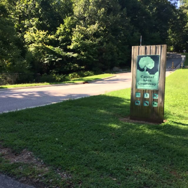
IMG_7586So, after a Monday morning camp drop-off at Greystone Rec Center, Claire and I researched nearby greenways to explore using the RGreenway app.  After some deliberation, we drove east for a run along Simms Branch Trail. We parked along a residential street at 9410 Cub Trail (parking spot #4 on the Capital Greenway map) near the Falls of Neuse and Durant Rd intersection.  The greenway entrance was clearly marked so we set off on this relatively flat and shaded trail.  We winded through various residential areas and a small stream to the south of the trail.  We passed a few school yards along the way and had to cross a few residential streets and small bridges before coming to the end of the trail, which is just past the entrance for Durant Nature Park.  This out and back trail is about 3.25 total miles.

After our run we headed over to the super kid-friendly Lafayette Village shopping center to experience Jubala coffee (another recommendation from fellow blogger TriangleExplorer).  Claire and I shared some delicious homemade biscuits and I enjoyed a fresh cup of coffee.
Thumbs up: proximity to residential areas, nearby stream, easy access, shady

Thumbs down: nothing to report