Durant Nature Preserve: Border Trail & Secret Creek Trail

I love North Carolina’s weather. The distinct seasons provide a general schedule I can count on each year. Each season lasts long enough that I don’t tire before the next season begins. Then, sometime in early March the weather consistently warms up, the daffodils start to bloom, and the sun stretches beyond 6:00pm. That’s my signal to put away the snow gear, bust out the springtime table runner, finish birthday planning for my oldest, and welcome spring time.

The other weekend we took advantage of the gorgeous spring weather and headed to Durant Nature Preserve for a hike. We’ve visited Durant Nature Preserve several times over the years (see previous blog posts) but it had been awhile since our last trip. For this visit, we brought fishing nets, our collapsible bucket, and rain boots to play in the streams. Despite predictable resistance to hiking, the girls ended up having the best time!

Exploring the Border Trail at Durant Nature Preserve

Border Trail

We parked at the north entrance and set off on the White House Rd Trail (see park map). Despite grumpy moods (including a short sit-in) and warning signs about muddy trail conditions we pushed on. From the White House Rd Trail we veered right onto the Border Trail, which circumnavigates the park. The Border Trail leads downhill to the creek, where at the bottom you turn left to stay on the trail. The creek sits between the wooded Border Trail on the park’s side and the paved Simms Branch Trail on the far side. Simms Branch Trail connects to Abbotts Creek greenway trail which connects to Raleigh’s longest greenway trail, the Neuse River Trail. Despite being close to a residential neighborhood the trail feels miles away. We only heard the crunching of our boots on the leaves and the trickle of the water.

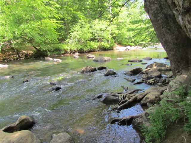
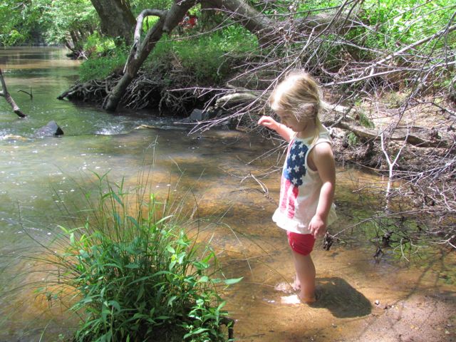
Family hiking success (for us) increases if water is involved. As soon as my kids feasted their eyes (and boots) on the creek, their hiking attitudes instantly transformed! Despite being a sunny day the water was super cold. Since the Border Trail parallels the creek, they flipped between walking on the unpaved trail and the creek. They’d scamper down the creek bank, walk through the water or hop across rocks, and then pull themselves back up the creek bank if the water level threatened to flood their boots. This type of hiking continued until we reached Whale Rocks.

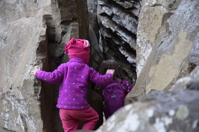
Whale Rocks is a stop along the Border Trail that boasts large rock formations as big as, well, whales. My kids loved jumping from whale rock to whale rock and timing themselves to see how long it took to climb from the creek bed to the rocks and back.

After hiking with the whales we continued on the Border Trail bouncing between walking in the creek and walking on the trail. This trail is mostly flat and features many hardwood trees and rock outcrops. We found dry creek beds and natural sand pits along the way that made for fun imaginary fossil dig play. They also enjoyed climbing across several of the trees that laid across the creek.

When we hiked about halfway around the Border Trail we turned left to follow Order of the Arrow Trail to the lake. Order of the Arrow Trail is a wide, flat trail surrounded by many pine trees. At the fork in the trail we turned left to stay on the trail and continue towards the lake. When the trail intersected with White House Rd, we turned right onto White House Rd. Then we turned left on Lakeside Trail, following the north side of the lake. The map posted along the trails was a helpful guide.

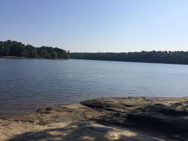
The north side of Lakeside Trail parallels the edge of the lake providing gorgeous views. The girls enjoyed walking along the shore line to spot turtles, lizards, and minnows. We also saw and heard several red-tailed hawks. We walked past campsites, benches, the closed boat house, and the fishing docks before ending at the playground.

Secret Creek Trail

After playing on the playground we followed the Secret Creek Trail, which begins across from the playground. We originally discovered this trail about 3 years ago when my now 4th grader attended a field trip at Durant Nature Preserve. To this day, it was one of her most memorable fields trips. She caught (and released) tadpoles and dragonfly nymphs, and had an awesome time exploring the Secret Creek Trail with classmates.

Secret Creek Trail is an easy trail with a few small hills along the 1/2 mile hike. The trail parallels a section of the creek that has gentle banks and small waterfalls throughout. In past visits we’ve seen a family of deer behind the park office and huge turtles resting in the creek under the large trees. Again, we flip flopped between walking on the trail and walking in the water. The trail’s canopy provides a lot of coverage, making it a cooler walk during warm weather. We also discovered some large sandy spots great for picnics, digging, and relaxing. Secret Creek Trail finishes at Camp Durant Rd, so you have to walk up the hill along the road to return to the main parking lot.

After we finished our hike, we headed to Char Grill for some much needed lunch! As we ate we recounted how fun the hike was and how we can’t wait to explore it again during the warmer weather months!

Thumbs up: improved trail markings and maps, rocking climbing at Whale Rocks, easy access for exploring the creek

Thumbs down: nothing to report

Great Smoky Mountains, NC

Like so many people at the end of last summer, we too, jumped on the total eclipse bandwagon and drove out to a remote part of NC to watch the phenomenon. It was a lot of firsts for our family – tailgating for science, visiting the Great Smoky Mountains, and exploring parts of NC west of Asheville. I’m not usually a follow-the-crowd type of gal, but my science lovin’ family wanted to be a part of it, so I was game too! 

Timberlake Campground

We wanted to stay within an easy drive to Andrews, NC (total eclipse central) and be close to the Smoky Mountains for hiking and exploring. So, we booked three nights at Timberlake Campground in Whittier, NC about 3 months ahead of time.  Timberlake Campground is located at 3270 Conleys Creek Rd between Sylva and Bryson City. A sweet couple owns and lives on the campground property, which features 50 sites. We stayed in one of the water/electric sites across from the playground on the stream side. The site was perfect for us – lots of shade and next to a creek where the girls “tubed up” and down for hours! With my birthday being so close to our trip, I brought my new birthday ENO hammock, which was ah-mazing! We felt comfortable letting the girls ride their bikes up and around the loop near our campsite.

When the campground owners aren’t in the camp store they rely on the honest system for people to pay. They even gave us a tour of their farm and let us collect their blue chicken eggs. Bill enjoyed taking the girls fishing in the pond

Oconaluftee Museum

The first day we drove into Great Smoky National Park and visited the super popular Oconaluftee Visitor Center and Museum. The museum is located at the southern end of the Blue Ridge Parkway just past Cherokee, NC at 1194 Newfound Gap Rd.

The Smoky Mountains get its name from the smoke-like mist coming off the mountains. The water vapor from the conifers mixes with the trees’ natural terpenes to give off the mist. It’s a beautiful site to see, especially early in the morning. We explored the indoor exhibits, which give some history and information about the history and early living conditions in the Smoky Mountains. Then, we spent most of our time exploring the outdoor exhibits. The outdoor exhibits give a glimpse into life on a mountain farm in the 19th century. They feature an old log cabin, spring house, barns, apple house and smoke house. The girls enjoyed walking through the different houses and pondering life before there was live streaming TV, air conditioning, and electricity.

We also walked through the short walking trails down to the river, where we saw people fishing and tubing. The gentle river banks and shallow water allowed the girls to easily wade in and cool off. 

Juney Whank Falls

After leaving Oconaluftee Museum we headed south towards Bryson City to catch some waterfalls in a different section of the Smoky Mountains. As we drove to the park near Deep Creek we passed several tube rental companies. When we arrived at the park we were amazed to learn this park is a tubing mecca for the whole family! Deep Creek feeds from the Tuckasegee River, which runs through Bryson City. Had we realized the tubing option we would’ve planned better with bathing suits and towels. Though the park doesn’t offer tube rentals, there are plenty of places like Deep Creek Tube Center & Campground that rents tubes for $6/day and features camping and other outdoor activities.

Trying to divert our kids’ attention (and ours) away from tubing and back to hiking was no easy feat! But, we promised them a future trip, which we can’t wait to plan! The trailhead for Juney Whank Falls is located towards the back of the park. The trail was a short loop less than a mile long. When we arrived at the falls we were a little disappointed we couldn’t get into the water. We walked over a small footbridge to reach over and touch the falls as they cascaded down. The trail was a bit busy especially near the falls, so we quickly continued on the loop. We hiked the rest of the trail fairly easily except for the downhill ditch-like spot that we tip-toed over.

After the hike we longingly watched the tubers on repeat: float down the creek and walk back. Then, we drove back through Bryson City and stopped at Nantahala Brewery for some much deserved beers. As Bill ordered our beers, I took the girls to the nearby ice cream shop for their dessert. In all my time in NC, I’ve only ever heard Bryson City referred to as the place to go around Christmastime. Though it’d be cool to come back for the train ride, I’m dying to come back and take my kids tubing in summer!

Andrews, NC Total Solar Eclipse

The next day being the big total eclipse day, we awoke early and headed west on 74 through the Nantahala National Forest for Andrews, NC. The drive along 74 was beautiful – the road parallels the Nantahala River and is busting to the seams with outdoor adventure. We passed several ziplining/ropes courses, kayakers, white water rafters, paddleboarders and more. Again, I made a mental note of a family adventure place!

After driving about 1.5 hours we arrived mid-morning in Andrews, NC. For a very small town, this place was bustling on such a big day. We parked in a large farm field designated for the Total Eclipse Festival. Though the total eclipse wasn’t happening for several more hours, we lucked out with one of the last parking spots. Several folks set up their telescopes in the field in preparation – it was like tailgating with science nerds! 

Then we walked to downtown Andrews to explore the pop-up art, food and live music. The girls made some cute candles and snacked on huge italian ices, while Bill and I enjoyed local BBQ. Around 1pm we grabbed some local beers and headed to the big open “eclipse watching” field. We set up our chairs and blankets while the girls ran around with several kids.

Around 1:00pm, the partial eclipse slowly began where we could see small chunks of the sun being eclipsed by the moon. Several people set up cameras with tripods and telescopes in the open field and hopped between taking shelter in the shade and grabbing a quick shot in the sky. Thanks to Bill we came prepared with a special solar filter for my camera. The girls loved wearing their special eclipse glasses and seeing the progression of the sun’s eclipse.

Around 2:30pm when the sun was just a small sliver, everyone descended into the middle of the field. The temperature dropped rapidly and the sky darkened. Suddenly all you could see was the sun’s corona creeping from behind the moon. It was quite a site to see, and it lasted more than 2 minutes! Then, just like that, everything went back to normal and the sun got bigger and bigger. We didn’t stick around to watch the sun’s complete return to normal so we could beat the traffic out of Andrews.

Watching the total solar eclipse was a really cool thing that I hope our kids remember. Planning the trip around the event motivated us to explore the very western parts of NC, for which I’m so thankful. I can’t wait to return to the Great Smoky Mountains and the Nantahala River for fun family outdoor water adventures!

Thumbs up: outdoor recreation activities, friendly campground owners, watching a total solar eclipse, 

Thumbs down: busy and poor signage at Juney Whank Falls, lack of sufficient parking at Oconaluftee Museum

Juney Whank Falls


Oconaluftee Museum


Timberlake Campground


Total Solar Eclipse in Andrews, NC

Jordan Lake State Recreation Area: Poplar Point Campground

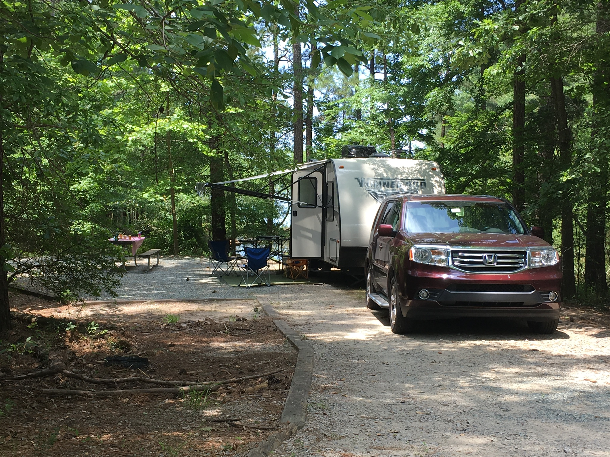
For our maiden voyage in the Winnie, we headed to Jordan Lake State Recreation Area for a quick 24-hr overnight trip. We wanted to get a small sample of camping while staying close to home. Jordan Lake State Recreation Area is located about 30 minutes west of Raleigh off US-64. Whether you’re going for a short trip or several days, Jordan Lake has lots of outdoor experiences and recreational activities to offer.

Camping

A few weeks before our trip we reserved a campsite online with electric and water hook-ups at Poplar Point Campground. The entrance for Poplar Point Campground is located at 558 Beaver Creek Rd in Apex. Jordan Lake State Recreation Area is enormous with over 1,000 RV and tent campsites scattered over five different areas. We chose Poplar Point Campground because it has many waterfront campsites available with water and electric hook-ups and a recreation beach at Loop E. We reserved spot 58 at Loop H, which is a back-in spot, like most at the park. The NC State Park registration system is very useful. You can search by amenities, whether you need a pull-through spot, and length of site. Similar to hotel room booking systems, it also shows multiple pictures of each campsite.

We arrived early on a Saturday morning and checked-in at the Poplar Point front gate. The ranger confirmed that we could switch our spot for the more popular first-come, first-serve spots at Loop E if we wanted. Loop E features a beach area, playground and more waterfront sites. But, after driving by our site at Loop H, we decided to stick with our original plan. We were anxious to set-up the Winnie and explore the campground. 

IMG_2418Our partially shaded campsite featured a flat gravel pad, picnic table and grill. There’s a short walk to the water, which we were hoping to use for fishing access, but unfortunately there was more poison ivy than we wanted to dodge. We found another access to the water, but the low-lying trees made casting difficult for the girls. Surprisingly, we didn’t have any neighbors during our entire stay. Though the girls were sad because they couldn’t play with new friends, it also meant they could run around like maniacs without worrying about traffic.

We spent about 45 minutes setting up camp by rolling out the rug, organizing the outdoor food station, hooking up the water and electric, and making sure the party lights hung perfectly. This park (and most state parks) features a dump station near the entrance, which we used on the way out to empty our gray and black tanks. For lunch, we quickly cooked hot dogs and grilled deli sandwiches on the griddle before heading to the beach. 

Recreation Area

4After lunch we headed to the recreation area to cool off in the beach. The recreation area at Loop E features a large sandy shoreline with designated swimming area. The water was refreshing and the boats racing by made fun waves for the girls. The girls loved catching the waves with their inner tubes and building sand castles on the shore. They enjoyed racing into the water and diving into the calm water. Even though the water was a little murky, they didn’t seem to mind.

The recreation area has a narrow forested area near the parking lot with picnic tables and benches. We spotted several fishermen fishing further down the shoreline. We also saw a pontoon boat selling shave ice and snacks on the shoreline. Even though we just missed the shave ice, we watched the boat motor to the recreation area on the opposite side of the lake.

Unfortunately we left several of our beach essentials (beach chairs, umbrellas, sand toys) at home, placing greater attention on our camping items. We bought inner tubes at the convenience store off US-64, which proved crucial beach toys. Despite not having all our regular beach things, we spent over two hours at the lake beach having a fabulous time.

Dinner Camping

IMG_2425After playing at the beach we headed back to our campsite for showers and dinner prep. The girls helped shuck corn for grilling on the fire pit while I made mac n cheese on the trailer range. We grilled chicken sausages, corn on the cob, hot dogs and cinnamon sugar filled apples for dessert. 

After cleaning up dinner we settled in for puzzles and Uno. I also taught the girls how to play the card game, War, which immediately became their favorite game! Once the sun went down, we chased fireflies around the loop and used our campfire to make s’mores. Then, we read a bit of Wind in the Willows around the campfire before tucking the girls into their bunks.  

Though it took the girls a little longer to fall asleep, they slept soundly until morning. Bill and I enjoyed some music around the campfire while listening to insects chirp near the water. Overall, our first overnight trailer trip was a big success! Camping in the trailer was an exciting, but relaxing experience while Jordan Lake offered lots of fun at a quick drive away. 

Thumbs up: campsite space, large beach recreation area, affordable family camping, 

Thumbs down: poison ivy down to the water near campground

Raven Rock Loop Trail at Raven Rock State Park

Raven Rock Loop TrailIn mid-January we headed to Raven Rock State Park for a morning hike and picnic. Raven Rock State Park is located about an hour south of Raleigh along the Cape Fear River in Harnett County. The underlying rocks in the area formed nearly 400 million years ago through heat and pressure. High winds and rushing water gradually shaped the huge crystalline rock where ravens perched. River captains relied on the outcrops until hurricanes permanently damaged the locks and dams in 1859. Railroad transportation soon replaced river travel, and the state established the park in 1969. The old Northington lock and dam are visible from the park.

We parked in the southern section of the park near the Visitor Center at 3009 Raven Rock Rd in Lillington. Newly built in 2010, the Visitor Center is a great first stop before heading to the trails. Inside the center we explored the exhibits with the topography map, animal scat samples, and history of the the dams. The ranger was friendly and helpful when guiding us to the trailhead. After making a last-minute stop in the clean restrooms, we walked along the left side of the road to access the Raven Rock Loop Trail.

The Raven Rock Loop Trail is about 2.6 total miles. We walked clockwise around the loop, so the beginning of the trail was wide and gently sloped. The back half of the trail was slightly steeper, making the girls push harder at the end of our trip. About a mile into the hike, we arrived at the overlook above the Cape Fear River. The overlook provides beautiful views of the river and surrounding forests.

DSC_0086Then, we walked a little further until we arrived at the steep zig-zag stairs leading to the Raven Rock outcrop. We carefully walked down the windy stairs, stepping to the side to allow others to pass us. At the bottom we reached flatter ground with easy access to the river and the enormous Raven Rock outcrops. The girls loved climbing around the huge rocks and over the tree with the tangled web of tree roots. Portions of the rocks were large enough to crawl under and around, making for fun hiding spots. We also enjoyed listening to the trickling springs dripping from the moss-covered rocks overhead. 

DSC_0096After climbing around the main Raven Rock attraction, we ascended up the windy stairs and finished the steeper part of the loop trail. We crossed the stream a few times and enjoyed looking for wild animals through the bare forests. Lastly, when we returned to the trailhead we passed picnic tables, a large pavilion and the entrance for the American Beech Trail featuring the Kids in Parks Track Trail. Though we didn’t have time to hike it, this easy 0.5 mile hike features fun adventures such as Nature Hide ‘n Seek to excite kids about hiking. We also passed signs with information about the canoe-in camping.

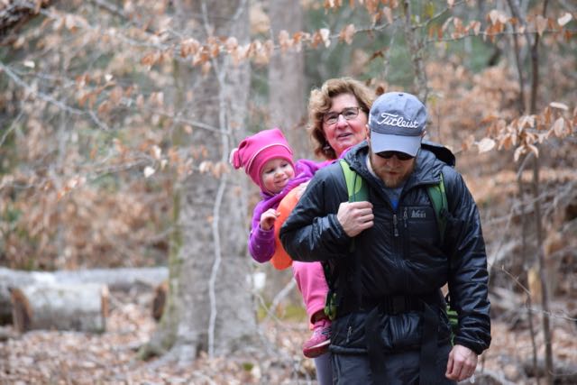
Though hiking can be tricky with small kids, the more you hike together the less whiny easier and more fun it can be. For hikes longer than 1 mile, we still bring our hiking backpack for our 3 1/2 year old. We always pack lots of snacks and/or picnic lunch and started letting the girls use our older cameras to capture sights along the way. The girls started melting down towards the end of this trail because we unknowingly saved the steeper portion for the end. Next time, we’ll hike this loop trail in reverse order and visit in warmer months to take advantage of playing in the streams!

Thumbs up: friendly park staff, informative visitor center, steady foot traffic along trail, beautiful views over river, interesting rock outcrops

Thumbs down: nothing to report

South Holston Dam (Bristol, TN)

Last fall, Bill and I headed to Bristol, TN to watch the highly-anticipated Virginia Tech vs. Tennessee football game. Wanting to make a big weekend out of it, we arranged a mini kid-free (thanks grandparents) college reunion with old Tech buds where we rented 3 RVs between 18 of us. The weekend was amazing to say the least, and the perfect kick-off to an amazing Hokie football season.

South Holston DamDam, Plant & Reservoir

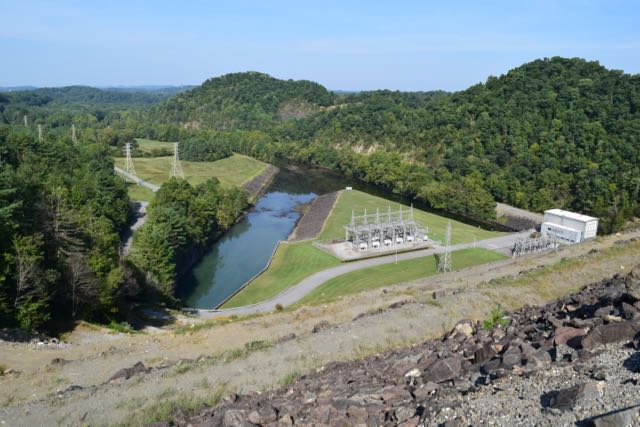
Before everyone arrived to town on Friday, Bill and I explored the nearby South Holston Dam (918 South View Dam Dr), which consists of a reservoir, dam, hydroelectric plant, and weir. The TVA began construction of the South Holston Dam in 1942 as part of the Unified Development of the Tennessee River System plan, which set out to improve the poverty-stricken, often-flooded parts of the Tennessee Valley. Construction halted during World War II and the dam began operation in 1951. The dam is unique in that it’s an earth and rock-filled dam built in 30ft sections called berms to hold the massive potential energy of South Holston Reservoir. The dam is about 1600 ft across and 285 ft high with paved roads leading to an information center and parking lots at the top. The reservoir is huge – it has 168 miles of shoreline across two states and is a very popular recreational lake.

We parked at the top of the dam and walked across the paved section to catch the amazing views of the lake on one side and the downstream river on the other. As mentioned above, the dam helps with flood control, but also serves to generate hydroelectric power for the region. The dam regularly releases water –  a loud siren blares about five minutes before alerting folks downstream and then the large turbine and generator crank. 

DSC_0144Osceola Island

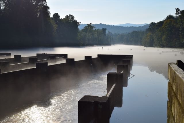
When water comes out of the dam it flows through weir dams and forks around Osecola Island before merging near the intersection of Holston Dam View Rd. In 1991 the TVA built weir dams south of the dam to increase oxygen in the water when the hydroelectric plant isn’t running. The extra oxygen improves the habitat for fish and vegetation. When we arrived early, the morning fog provided a beautiful backdrop for the fisherman wading in the river. We crossed the footbridge and walked the easy one-mile loop trail on Osceola Island where we saw beautiful herons, ducks, fish and more fisherman. The water level around Osecola Island is shallow, providing great spots for fly fishing.

We felt so grateful to spend quality time with old college buds in a beautiful part of the country. Being my first visit to Tennessee, I look forward to coming back and exploring more of the mountains and lakes.

Thumbs up: beautiful views, massiveness of earth and rock-filled dam, interesting information center at top of the dam, unique weir dams, convenient parking areas at top of dam and near Osceola Island

Thumbs down: nothing to report

Canoeing the New River in NC

New RiverLast month good friends invited our family to their mountain cabin along the South Fork of the New River near West Jefferson, NC.  Though this was my first time on this river in NC, being back on the New River reminded me of past trips whitewater rafting through West Virginia or lazily tubing the New River Junction near Blacksburg, VA.  We made those trips before we had kids so it was fun to share this trip with our kids and new friends we’ve met since having kids.

The New River is unique in that it flows south to north and is believed to be one of the oldest rivers in North America, and maybe the world.  This ancient river begins in the mountains near the TN-NC border, flows north through NC, VA and WV where it joins with the Gauley River (I’ve always wanted to raft during the fall release dates) to become the Kanawha River and eventually flows to the Gulf of Mexico via the Ohio & Mississippi Rivers. Portions of the New River in NC flow through different access points to the New River State Park where you can camp, hike, canoe, kayak, fish, or any combination of those.  While we spent a lot of our weekend exploring the private area around the cabin, wading in the family-friendly river, or teaching the kids to kayak, my friend Annie and I got out for a few hours on Saturday afternoon for a relaxing canoe trip.

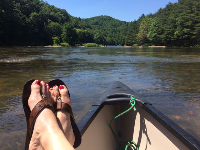
IMG_5566After an exhilarating drive down one-lane gravel roads in an old Chevy truck with a canoe in tow we arrived at a small put-in near the intersection of Dog Creek Rd and Joe Little Rd.  The bank is steep and the pathway to the water is narrow and overgrown on the sides, but it made for a quick water entrance.  Joe Little Rd is a narrow one-wayish road, so use caution when driving.  It was a beautiful day to be on the river so we passed quite a few tubers, kayakers, and fishermen.  The water was pretty brisk, so it felt good to be dry in the canoe.  Along our way we passed Wootens Mill on Dog Creek Rd, which is no longer in service but dates back to the 1770s.  We also passed the Wagoner Access portion of the New River State Park on the south side of the river.  We saw lots of tents set up for weekend camping and canoe put-in areas.

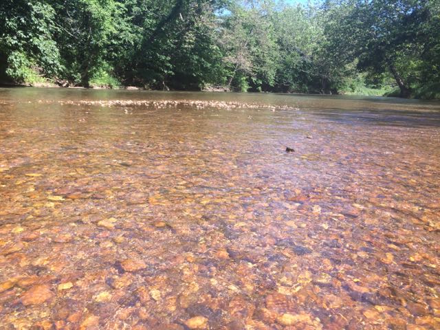
We made a quick pit stop back at the house to refill our cooler before heading further upstream (remember, the river flows south to north).  We made our way over a few mini rapids and shortly passed the River Bend campsite area of the New River State Park that features primitive canoe-in only camping.  With the exception of the flowing water and birds (and our girl talk), the river is void of any other sounds as it snakes through the Blue Ridge Mountains.  After awhile we pulled the canoe out near a shallow rocky area to take a break.  The river rocks feature those smooth, round shapes so we easily laid down in the water to chill.  After a few more minutes of deciding we needed to start a yoga retreat on the river we paddled some more to a popular swimming hole.  We pulled the canoe out near a small island and swam to the large rock to jump into the deep water below.  It was heavenly!

After paddling a bit more we called our ride home as we reached the take-out spot near Absher Rd/Gentry Rd Bridge.  It was late afternoon when we got out, so we had to wait a few minutes before we could pull out the canoe.  With stops, it took us about 3 hours to go about 6 miles on the river. With its gentle, shallow waters and tranquil rapids the South Fork of the New River offers so many family-friendly or beginner adventures.  The river’s beauty is something to experience first-hand and I can’t wait to get back here again!

Additional Resources:

  • New River State Park map – includes paddling times/distances from different access spots
  • New River State Park

Thumbs up: lots of shallow wading spots for little ones, camping/canoe options at New River State Park, beautiful scenery along river, river’s beauty and tranquility, gentle and mild rapids are great for families and beginners

Thumbs down: nothing to report

Robertson Millpond Preserve

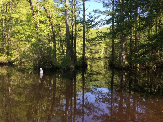
Robertson Millpond PreserveOne Sunday at the end of April we headed out to Wake County’s newest park, Robertson Millpond Preserve for some fishing.  Not knowing what to expect from this new park, we quickly discovered that Robertson Millpond Preserve is a local natural refuge for recreation and relaxation.   Its main attraction is the blackwater cypress-gum swamp, making you feel transported to the lowcountry!

Robertson Millpond Preserve is an 85-acre park located 25 minutes outside of Raleigh at 6333 Robertson Pond Road in Wendell, NC.  The millpond dam was created in the 1820s when the Avera family owned and operated a 600-acre farm and gristmill on the property.  They lived in a federal-style home, which they re-located to a new site on Robertson Pond Rd that still exists today.  The Robertson family, for which the pond and road are named for, bought the land in the late 1800s/early 1900s and probably operated the mill until the 1940s.  After the mill stopped operating in the 1950s, recreational fishing and boating became the focal point.  Decades later, the mill was removed, and in 2013 the land was purchased through the Wake County Open Space Program and the park opened in late October 2015.

IMG_4859This particular Sunday we enjoyed the park all to ourselves for several hours.  We explored the boat ramp (only non-motorized boats are allowed) down to the pond where we heard and saw a variety of birds and insects.  Sitting on the boat dock, we gawked over the large cypress trees that envelope the pond.  The park staff have installed numbered buoys in the water to created a 1/2 mile paddling trail through the pond.  Since our visit, Paddle Creek has started offering hourly kayak rentals on Saturdays only at the pond.

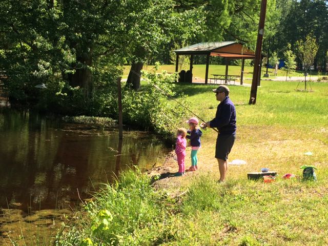
Then we walked over to the small shore area to set up for fishing.  Before heading out that morning, the girls and I collected live worms from our backyard for bait, but our bait didn’t stand a chance.  Bill and the girls had a few nibbles and saw some tadpoles, but this morning was more about just having fun, which everyone did!  After fishing we walked closer to the dam, which is about 20 yards wide and sits in front of Robertson Pond Road.  You can’t get very close to the dam, but the sounds are amazing and future projects include adding a short boardwalk and an interpretive display near the mill’s old foundation.

In addition to the pond’s recreational activities, the park also features a picnic shelter, open space area and nonpotable water station for cleaning your boat.  After this past weekend’s canoeing and kayaking adventures down the New River in West Jefferson, NC, I can’t wait to return on a Saturday and take the girls kayaking!

Additional Resources

Thumbs up: gorgeous views, boating options, preservation of pond and history of area, on-site station for cleaning your boat

Thumbs down: lack of weekday hours

Huntington Beach State Park in Murrells Inlet, SC

IMG_3652Over New Years we spent time with dear friends at their parent’s new home in Murrells Inlet, SC. I’ve known Jennie since 6th grade and Bill and Jennie’s husband, Gary, became fast friends over a decade ago when we first met Gary. With growing families and distance (they’ve been in Columbus, OH) our time spent together has been few and far between. Lucky for us they are moving to the Greater Raleigh area this Spring so our families will get more time together, which is great news for us and our kids, as they’ve all become fast friends too!

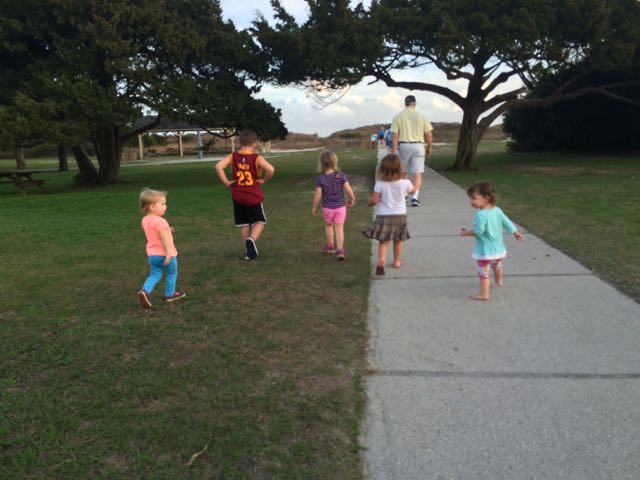
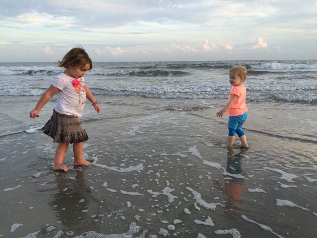
IMG_3662The weather was unusually warm around New Years so shortly after arriving we took advantage of the remaining sun and made the short drive to Huntington Beach State Park, located at 16418 Ocean Hwy in Murrells Inlet. This park is named after Anna Hyatt & Archer Huntington who lived on the land and the adjacent Brookhaven Gardens (more on this in an upcoming mini-post).  After paying a small daily per person fee at the gate, we followed the road over the saltwater marshes to the main parking lot area near the Education Center (more on this below). This state park offers amazing beach access, an Education Center with live animals, fishing, hiking, camping and much more. With it being close to sunset we headed straight for the beach with kites. We parked in the large lot in the back of the park and within a short 50-yd walk we were on the beach. The beaches at this park are pristine and expansive, about 3 miles long and offer lots of space to plop down beach chairs, fly kites, or go for walks. The kids loved chasing each other around, running into the calm surf, and taking turns with the kites.  Before leaving we washed our feet off on in the convenient outside showers.  The 1930s Moorish-style winter home the Huntingtons lived in, Atalaya, is still standing near the back parking lot and offers regular tours.  Maybe we’ll catch a tour next time we’re in town!

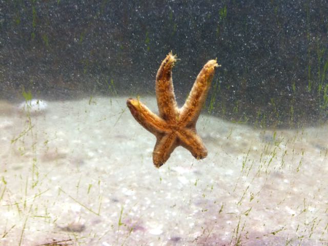
IMG_3688The next day we returned to the park to explore the Education Center, which is only open during daytime hours and offers daily feeding times where you can watch and learn how they feed several of the animals.  With about two dozen animals to look at and learn about, we spent well over an hour in the center.  They have a touch-tank with a horseshoe crab and stingray, a star fish, baby alligator, terrapins, snakes, turtles, and some hands-on exhibits about the nearby environment.  The tanks are at perfect heights for little ones to get in on the action. After we exhausted the Education Center, the kids enjoyed a snack on the outdoor benches and we ran along the boardwalk overlooking the saltwater marshes.  We learned about the numerous inhabitants – spider crabs, stone crabs, snapping shrimp, oysters, alligators, and lots of birds.  Even though we didn’t see any of the 50-100 alligators living in the park we saw several oysters and lots of birds up close!

Speaking of oysters, this town is the place to enjoy oysters.  Both nights we visited we went to fabulous restaurants and had some of the freshest seafood.  Murrells Inlet is a jewel of a small town with a happening Marsh Walk area of live music, bars and restaurants.  Located about 15 minutes south of Myrtle Beach, it seems worlds away from the busy beaches to the north.

More resources

Thumbs up: beautiful beaches, super kid-friendly Education Center and variety of animals to see, easy access to beach area

Thumbs down: nothing to report

Blue Jay Point County Park

IMG_2125Blue Jay Point County Park is an outdoor mecca for people of all ages!  We visited Blue Jay Point County Park about a month ago after hearing so much great news about the new Go Ape Zip Line & Tree Adventure course.  Even though this park visit was more for the little ones, I can’t wait to head back here for some adult time on the adventure course.

Blue Jay Point County Park is a peninsula located at 3200 Pleasant Union Church Rd in North Raleigh.  It is surrounded on three sides by Falls Lake and just south of the intersection of NC-98 and Six Forks Rd.

We first drove to the back of the park and scoped out the playground area, which was huge!  The ages 5-12 playground has at least 8 slides in total, long ramps for running up and down, monkey bars, climbing ladders, tunnels and more.  The ages 2-5 playground has several shorter slides, an arched climbing ladder, and nearby teeter totters and standing sand tables.  There is a restroom area, small covered pavilion, benches and picnic tables near the playground.  Most of the playground area is in full sun, but we were able to score a little shade on the benches under the trees.

IMG_2124After some playground time, we headed towards the covered pavilion where the Laurel Loop nature trail begins.  This was such an ideal walk for young kids – it is a well maintained unpaved trail with lots of shade, has several benches and picnic tables throughout, is only 0.2 miles, allows for a short walk by adjacent Falls Lake, and loops you back to the playground area.  All of the girls from ages 18 months to 4 years old loved exploring this trail, especially finding the dozens of caterpillars along the trail.

After our hike, we got back in our cars and headed to the front of the park to explore the main building’s Nature Discovery Room.  After recently visiting Rockwood Nature Center in Richmond, VA where we saw several live animals, the girls seemed disappointed they didn’t have any live creepy, crawly native animals to gawk at.  However, they did enjoy learning about the water cycle at Falls Lake and playing with some of the interactive tree and plant exhibits.

IMG_2139We then headed outside to the nearby fenced-in garden area for a much deserved picnic lunch.  After our lunch we walked all throughout the gardens learning about the different herbs, flowers and vegetables they’ve planted.  The biggest highlight for me was the “pizza garden” where they planted lots of basil and tomatoes.  The biggest highlight for the girls was spotting butterflies and checking out the resident turtles and water snake in the small pond area.

Even though we spent about 3 hours at Blue Jay County Park, I feel as if we barely scratched the surface of this park.  With so many nature and hiking trails (some that connect to Mountains-to-Sea trail), a natural play area, a tree-top adventure course, lots of open space, and tons of educational programs I can’t wait to come back very soon!

Thumbs up: nature trails with varying lengths for all ages, gardens, playground area, proximity to Falls Lake, so many outdoor activities to do

Thumbs down: signage around park

Eno River State Park – Cox Mountain Trail

IMG_5361This summer we explored Eno River State Park in Durham over Memorial Day weekend.  Despite a 40 minute drive and a lot of preschooler crying when we first arrived because there was no playground in sight, we enjoyed the short hike across the swaying footbridge and to the river.

Eno River State Park has several different access areas and we chose the Few Fords access area at 6101 Cole Mill Rd so we could be close to the river and explore an old cabin.  After a short drive through the park the road dead ended into a circular parking lot with nearby restrooms and several picnic areas.  We ate a quick lunch in the shaded picnic area, admired the large pavilion (great for group picnics), and set off on the Cox Mountain Trail towards the river.  The first 1/4 mile of the hike was a rather steep descent, but it was mostly graded with steps for an easier hike.  With two little ones in tow, I held Ashley’s hand most of the way to prevent her from tripping over roots or steps while Claire enjoyed the scenery from sitting high in the backpack.

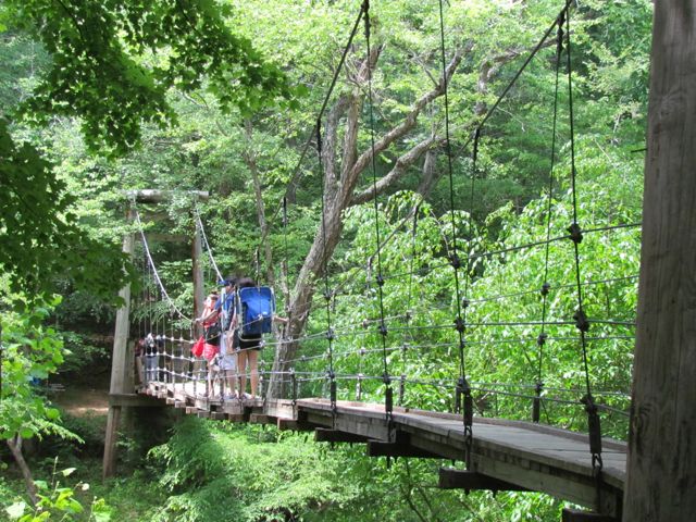
IMG_5355After we reached the bank of the river, we followed the trail over a narrow suspension footbridge that seemed like a much, much less dramatic version of the foot bridge Indiana Jones crossed in Indiana Jones and the Temple of Doom.  It’s less than a 15ft drop to the river, but with large openings in the sides of the bridge I walked Ashley slowly across the bridge, trying to reiterate the importance of no jumping on the bridge.

After we crossed the bridge we turned left and continued along the trail and passed shallow swimming holes and small sandy “beach” areas where several families and dogs were enjoying the bank of the river.  We continued on until we came to the wilderness cabin.  There was a strange bikini photo shoot going on the deck of the cabin so we explored the inside rooms where the girls ran around and examined the window openings and log walls.  After leaving the log cabin, we walked to the nearby gazebo and made it a short while longer on Cox Mountain Trail before turning around.  Even though the whole loop is 3.75 miles and connects to more trails, we only made it about 3/4mile in before turning around.

IMG_5383On our hike back we stopped in one of the several swimming holes to splash around a bit, promising to bring the girls back again soon with bathing suits in tow.  Other than over 25 miles of hiking, Eno River State Park offers fishing, camping, canoeing, educational programs, the annual Eno River Festival and more.

Thumbs up: river access with kid-friendly swimming holes and shallow flowing water, fun swinging bridge, shady picnic areas

Thumbs down: nothing to report

More Resources