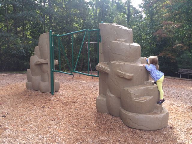
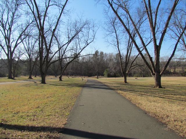
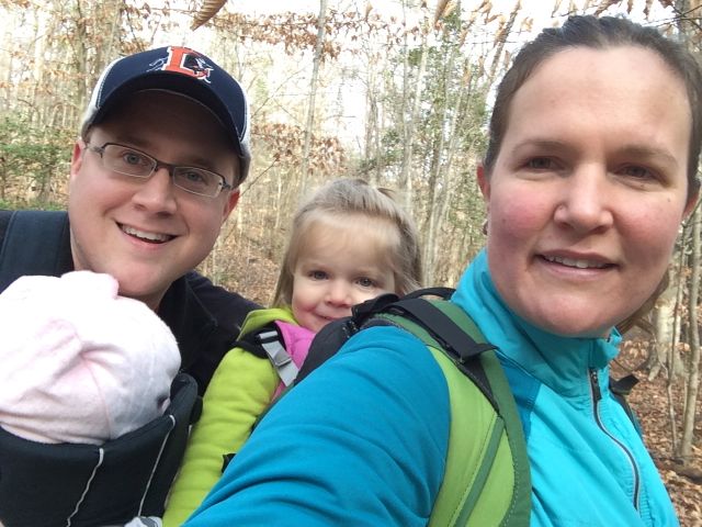
Sunday mornings this past spring were also dedicated to exploring new sections (to us) of the greenway. While we didn’t plan it this way, maybe we felt the need to run off our food and beer overindulgences from Saturdays? Regardless, we loved getting out for fresh air and exercise with our recent run along Ironwood Trail.
Starting at North Hills Park we set off towards Shelley Lake via Ironwood Trail. After slowly walking down the steep hill, we followed signs towards Shelley Lake and turned right onto Crabtree Creek Trail. A very short run later we turned right again towards towards Shelley Lake where Mine Creek and Crabtree Creek intersect. The greenway parallels Mine Creek, offering close-up views of the rushing water. We soon crossed over North Hills Drive and ran behind Northbrook Country Club, which sits at ground level with the greenway. Having been to that pool before, it was neat to see a different perspective of that area.
As we continued on our run, the greenway trail got narrower and bumpier; this seems to be a much older section of the greenway that has seen the effects of tree roots under the path. Passing by the plentiful sewer/drain pipes along the way reminded me of being in a Mario Bros video game. We crossed over a wooden bridge at one point before running under Millbrook Rd and arriving at the bottom of Shelley Lake. It was a nicely shaded 2 mile run to Shelley Lake (4 mile out and back total for us) with lots of foot traffic along the route. Being a north/south greenway connection to Shelley Lake (and the trails surrounding the lake) it allows for those runners or bikers needing a longer run to increase their mileage. While the signage along the trail indicates we were running on Ironwood Trail, the online COR maps label this same trail as Mine Creek Trail, so that was a bit confusing.
More Resources:
Thumbs up: views of creek, shaded trail, being the north/south connection from North Hills Park to Shelley Lake and beyond
Thumbs down: narrowing path, signage discrepancies between trail/online maps


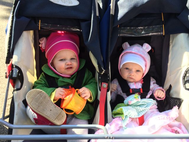 A few months ago my sister and her family were in town so we set out for another run on another (new to us) section of Crabtree Creek Trail. To ease the double stroller intensity we put Claire and baby Ava in the same stroller and let Ashley ride solo. We started at North Hills Park with the goal of running to the far western edge of Crabtree Creek Trail. As mentioned in


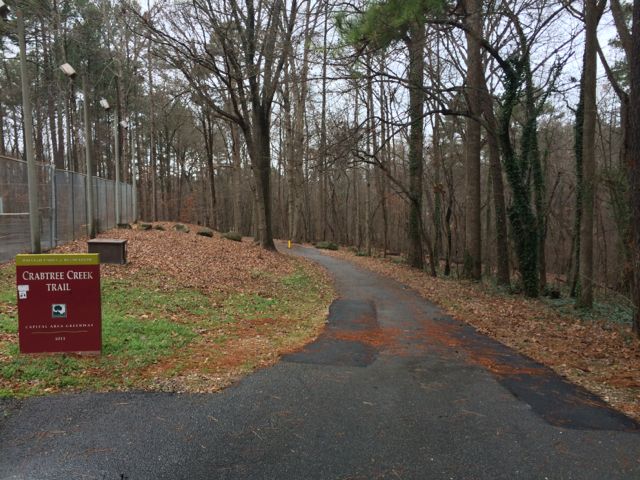 Have I mentioned that we spent a lot of time on the greenway this winter? So, here we are again, exploring a new (to us) portion of the Capital Area Greenway on the Crabtree Creek Trail from North Hills Park to Lassiter Mill Park (about 2.5 miles round trip). We started at the greenway entrance at North Hills Park (
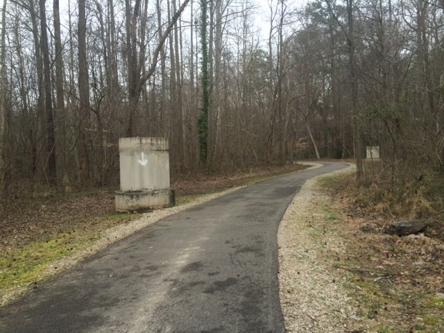
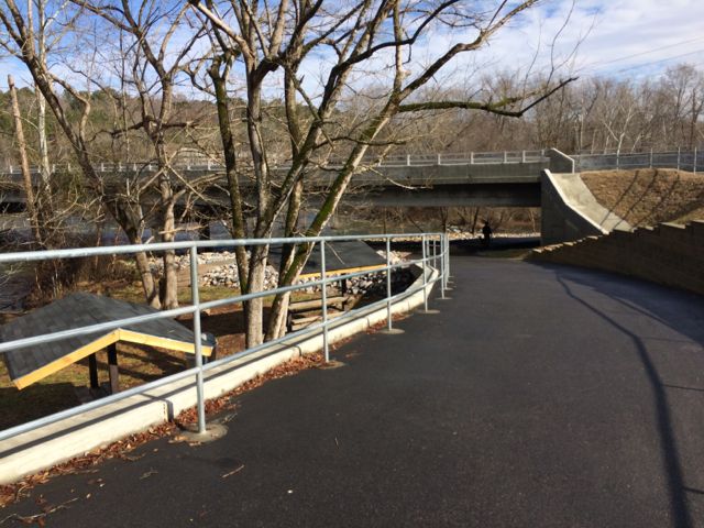
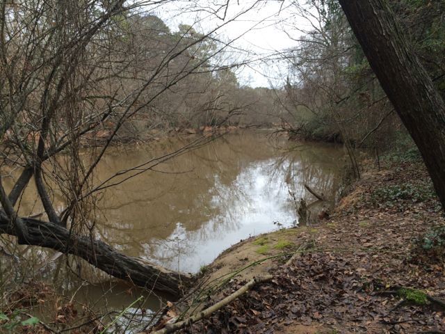 Then shortly after passing mile marker 11.5 the trail abruptly becomes unpaved and very narrow. In hindsight we should’ve taken one of the Alleghany Dr access paths, but there were no signs beforehand to indicate strollers or bikes wouldn’t be able to pass up ahead. So, we continued on the unpaved trail for a short time, all the while traversing over tree roots and narrowly squeezing between the creek and neighborhood roads above. When it seemed impossible for the double Bob to continue on, I ran up ahead to see how much further until Lassiter Mill Rd. At the end of the unpaved trail there is a set of stairs leading to Hertford Rd. Take a left onto Hertford Rd and follow it along behind Root Elementary School and then cut over to Lassiter Mill Rd. Turn left onto Lassiter Mill Rd where you’ll soon see Lassiter Mill on the left and Crabtree Creek Trail on the right.


 For the few days it’s been sunny and above 40 degrees this winter you could easily find us at a park or greenway soaking up the fresh air. Even though we’ve explored a lot of the southern end of the Neuse River Trail, we hadn’t run along the northern portion (aka Upper Neuse Greenway) until this winter. It’s a great location to get some exercise and then have a picnic along the shores of the dam.
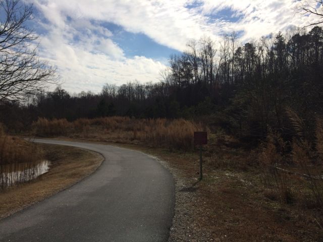 On this particular day the water level was elevated, so it was relaxing to hear the rushing water flow over a screaming 18-month old (yes, she screamed for about 95% of our run). Regardless, this trail is great in that it parallels the river offering great water views and glimpses of the native flora and fauna. We saw herons, beautiful budding red berry bushes (maybe winterberry shrubs) and tall native grasses. We passed under Falls of Neuse Rd and over small bridges. We also passed by the Bedford at Falls River neighborhood with greenway access to Falls River Ave and then turned around at the 1.5 mile mark, which is by the fork in the trail; keep left to stay on the greenway or stay straight for another access point to Falls River Ave and a greenway parking lot. The steady stream of foot traffic and proximity to made me feel secure about returning on my own and the relatively flat, wide trail might make it ideal for kiddo balance biking!


 On New Year’s Day 2015 we visited the
 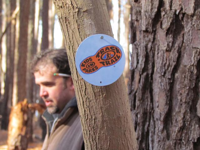 Once the families gathered at the trail head, the park rangers explained more about the short .75 mile hike and gave each child a scavenger hunt brochure of things to look for along the way. Ashley was a little too young for the scavenger hunt, but the older kids had a great time. They also explained the
 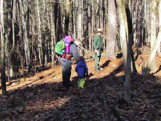 In the past our hiking experiences with our kids have mostly been self-guided with very basic objectives: 1) survive (


 With our red wagon and balance bike in hand, we headed out on a clear, sunny winter day to explore
 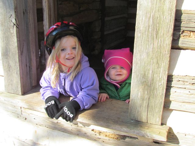 Along our walk/ride we passed several beautiful settings including the refurbished farm buildings. This park was originally a working farm as recently as the 1940s, owned by the Walker family who grew produce to sell to local merchants. It was sold to E. Carroll Joyner who raised cattle until the 1990s and then bought by the Town of Wake Forest in 2003 and opened as a public park in 2009. The original farm buildings include a tobacco barn, log cabin, chicken coop and mule barn. The girls had a fantastic time exploring the different buildings, especially the chicken coop. Several of these buildings and the nearby settings also offer great photo opportunities.


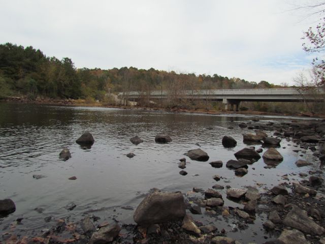 This fall we wanted to further explore Falls Lake so we set off with intentions to start closer to the dam and finish
 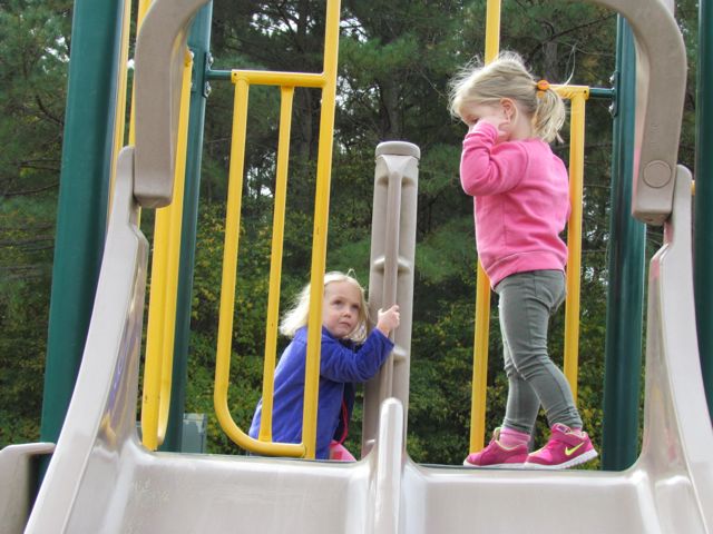 The playground is designed for ages 5-12 and includes a few slides, climbing structures, tic-tac-toe, and several nearby picnic tables and benches. It’s a small playground, but the perfect size for a park with so many more activities. After taking in the views from the top of the dam, we walked down the unpaved trail adjacent to the playground where we got up close and personal with the beginning of the Neuse River. The girls enjoyed throwing rocks in the water while we saw fishermen and birds. There’s also a small parking lot, canoe launch, restrooms, information map, picnic tables, and access to the start of the Neuse River Trail greenway at the bottom of the dam.


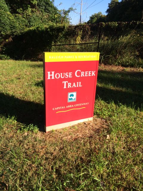 Even though the House Creek Trail was completed only 2 years ago, the trail’s history dates back to 1973 when it was a mere 350ft unpaved foot path and the foundation of the Capital Area Greenway. House Creek Trail is a north/south connection between Reedy Creek Trail (near Meredith College/Wade Ave) and Crabtree Creek Trail (near Crabtree Valley Mall). Having explored all other parts of House Creek Trail, I was excited to visit this last stretch and get some more mileage in before the City of Oaks 10k back in November.
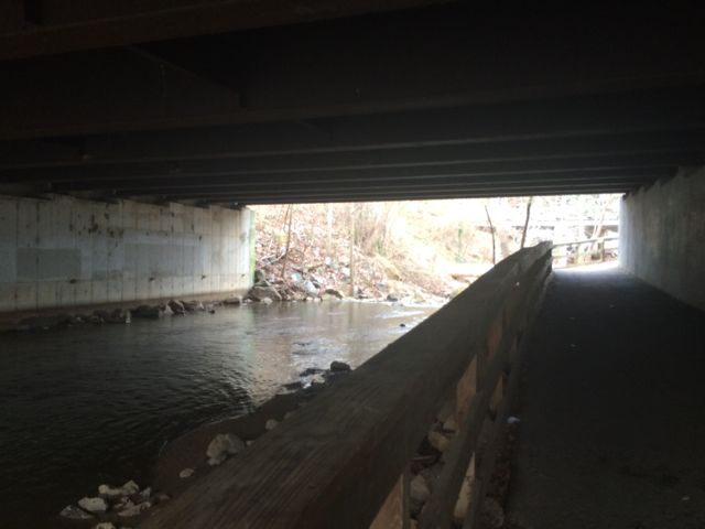
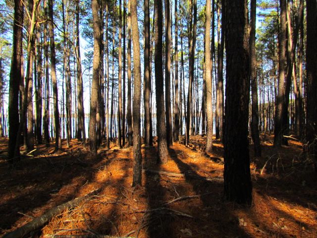
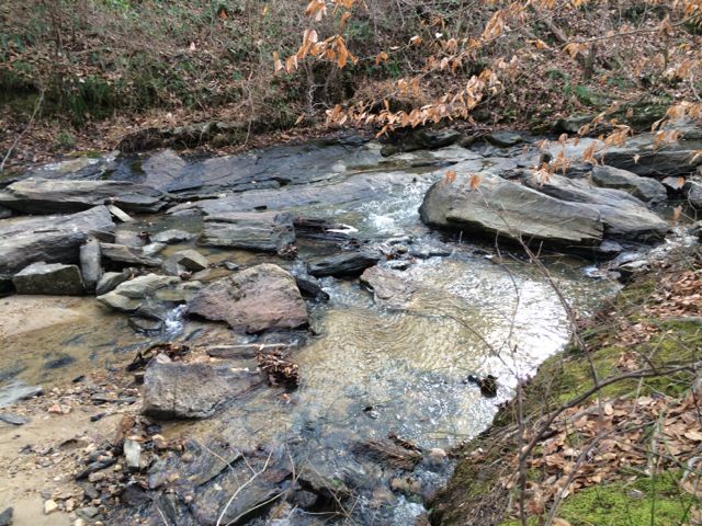
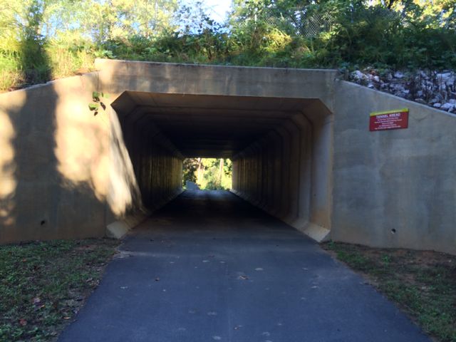 This greenway parallels the eastern side of the 440-beltline until the pedestrian crossover at Glen Eden Rd. Even though you can hear and see the 440-beltline traffic, with the expansive tree lines on both sides of the trail, I sometimes felt like I was miles away in middle earth. Occasionally I passed other bikers and walkers, but for the most part on this chilly October morning it was just me and Claire. Before coming to the Lake Boone Trail tunnel, we passed the small Horton St apartment complex and a designated greenway parking lot located behind Martin Middle School. It was around this time (mile post 2.0) that I also spotted a random basketball pole and hoop in the nearby creek, making me question the history of this area.