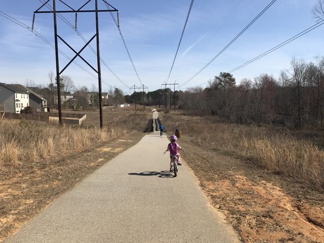
 Looking for a fun family bike ride over the holiday weekend? Discover the Mingo Creek Trail of Knightdale where it features flat rides, long causeways and interesting creek life!
We love finding new (to us) greenway sections to explore, so we headed to Anderson Point Park to access the Mingo Creek Trail. Mingo Creek Trail is part of the Town of Knightdale’s greenway system that connects from the Neuse River Trail. We parked in the large parking lot (just outside the main entrance to Anderson Point Park) and biked north on the Neuse River Trail.
We shortly passed MP 17 for the Neuse River Trail and then turned right, following signs for Mingo Creek Trail. Then, we winded up a paved path before biking across the Neuse River. The trail eventually led to a clearing with residential homes on one side and railroad tracks on the opposite side. Around MP 1, the trail’s gradual hill leveled out to the Princeton Manor neighborhood at the Hodge Rd intersection.
 We maneuvered through the neighborhood sidewalks and carefully crossed Hodge Rd to continue on Mingo Creek Trail. Shortly after, we biked along the half-mile causeway, which was sandwiched between marshy areas and residential homes. We stopped on the causeway to watch the turtle and duck families sunning in the water. A great heron (or egret) also caught our eye.
Eventually we biked under the I-540 bridge and turned around at the Lynnwood Rd Connector at MP 2.25. Knowing we’d have a 2.25-mile return trip, we enjoyed a picnic on the side of the trail before calling it a successful ride. I hope to bring the girls back to finish biking this trail over the summer where it ends at Mingo Creek Park.
Thumbs up: easy to read Town of Knightdale greenway map with incremental markings and mileage table, connection to the larger Neuse River Trail for longer rides, interesting wildlife viewing in marsh, great family bike ride, sunny bridges and causeways make for great photo ops
Thumbs down: lack of signs made maneuvering through neighborhood near Hodge Rd confusing


 In January we headed with friends to Umstead Park to explore the super kid-friendly Oak Rock Trail, which is only 1/2 mile long. This is a great hike for young families or large groups with young kids. The trail has easy access to clean restrooms and picnic tables, and shallow stream access for water fun in the warmer months. It’s also part of the
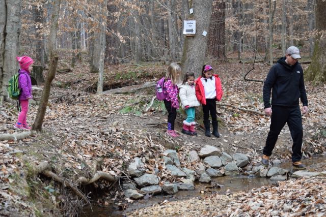


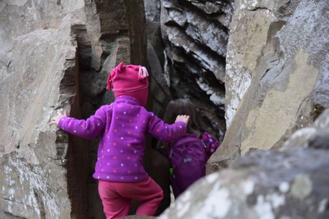 Then, we walked a little further until we arrived at the steep zig-zag stairs leading to the Raven Rock outcrop. We carefully walked down the windy stairs, stepping to the side to allow others to pass us. At the bottom we reached flatter ground with easy access to the river and the enormous Raven Rock outcrops. The girls loved climbing around the huge rocks and over the tree with the tangled web of tree roots. Portions of the rocks were large enough to crawl under and around, making for fun hiding spots. We also enjoyed listening to the trickling springs dripping from the moss-covered rocks overhead.
 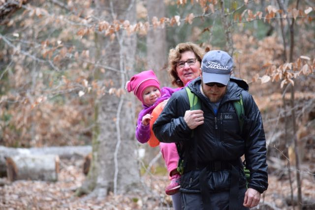 After climbing around the main Raven Rock attraction, we ascended up the windy stairs and finished the steeper part of the loop trail. We crossed the stream a few times and enjoyed looking for wild animals through the bare forests. Lastly, when we returned to the trailhead we passed picnic tables, a large pavilion and the entrance for the American Beech Trail featuring the Kids in Parks Track Trail. Though we didn’t have time to hike it, this easy 0.5 mile hike features fun adventures such as Nature Hide ‘n Seek to excite kids about hiking. We also passed signs with information about the canoe-in camping.


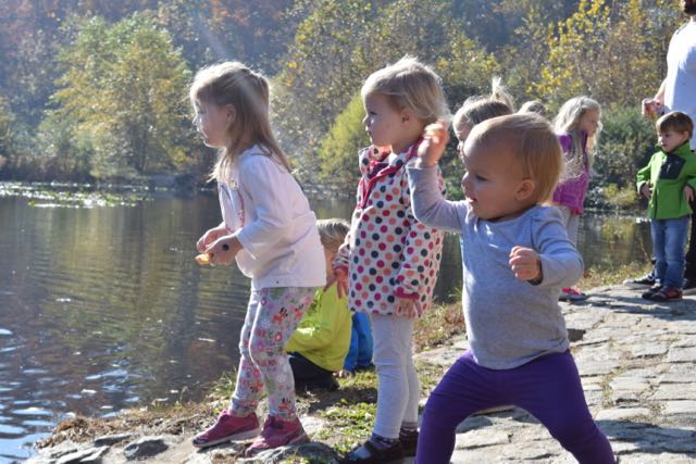 Last fall we headed to Richmond for a little man’s 1st birthday party. Before the big party we headed with friends and all our littles to
  Farmers Market, Trail Walking & Pond
 The playground features two play structures divided by age group and swings for all ages. The younger child playground contains slides, a spiral ladder, and nearby teeter totters. The older child playground contains steeper slides, arched ladders, double “racing” slides, monkey bars and zipline. The kids loved racing each other down the slides and swinging across the monkey bars. The playground’s hardwood mulch surface lessened the monkey bar falls. The original 1840s Stone House, picnic tables and tennis courts are also just a short walk away.


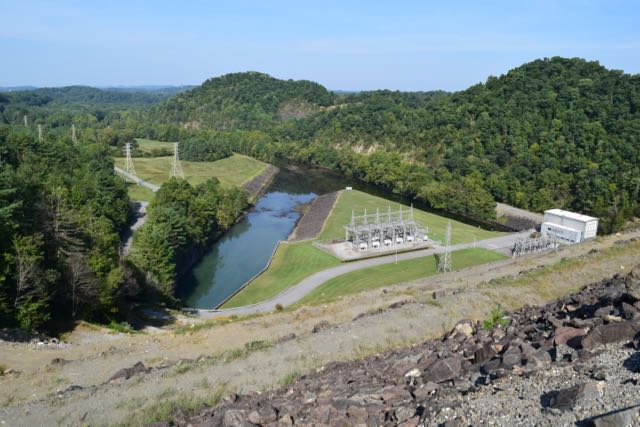 Dam, Plant & Reservoir
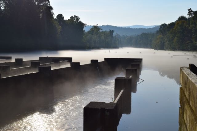 Osceola Island


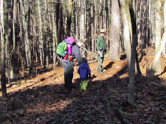 Lace up your hiking boots and head outside on New Year’s Day for an organized hike in a local park. Every state park in NC (city parks are catching on, too) organizes
  Falls Lake State Recreation Area – scavenger hunt with hike along Rolling View Track Trail (0.75 miles); start times at 10am, 11am, 12pm, 1pm; pre-registration is required; prepare for natural surface walking;
  Umstead State Park – 1.3 mile hike along Pott’s Branch Trail; start location: small parking lot by Pott’s Branch trailhead (Hwy 70/Glenwood Ave); 9am start time;
  If you can’t tell by the themes of some of my latest blog posts, biking has been our family’s new passion. Having a bike hitch, bike trailer and at least one child biking on her own really opens up the family bike outings to beyond the driveway or cul-de-sac. Even though Bill is usually the one to strap the bikes onto the hitch and gather all the gear, I’ve made it a point to learn how to do it on my own in hopes that I could take the girls out by myself. Feeling rather confident about strapping all the bikes onto the hitch, remembering all the gear and snacks, I took the girls for a bike ride on Abbotts Creek Trail one summer morning in August.
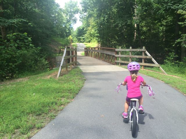 The bike ride back to the car was successful and even a bit adorable as my stop-and-smell-the-flowers daughter took advantage of light greenway traffic with her simultaneous bike ride swaying and singing. Despite the hot weather, the girls made the trip so much fun and were so patient with me as I carefully installed the bike equipment back onto the car.
 We biked to the bottom of the trail that leads to the top of the landfill, parked our bikes and walked to the top. I’m the only one in our family who has ever been to the top of the landfill, so I was excited to share the views with everyone. The little ones took turns exclaiming their discomfort for walking up the hill, but it’s such a short walk (less than 1/4 mile) that they pushed through it.


 Last summer Bill and I biked by this
  It hadn’t rained recently so the beachy area was actually wider and longer than I’ve seen it at other times and the river flowed slowly. The water was pretty warm except in the middle of the river, which was over our heads in several spots. We didn’t bring life jackets with us and the water wasn’t very clear so the girls mostly played near the shore line looking for tadpoles, playing in the sand/mud, or splashing in the water with the other young family that was there. While we were there a few paddle boarders passed by including a father and young daughter out for a ride (next summer’s bucket list goal).


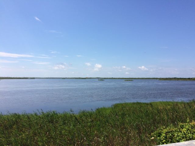 When we were in Nags Head last month we spent the last full day exploring Pea Island National Wildlife Refuge, which is located on a barrier island of the Outer Banks in NC. The Pea Island National Wildlife Refuge is part of a larger national wildlife refuge system with more than 500 units that was founded by President Teddy Roosevelt in 1903 to conserve the nation’s natural living treasures. The Pea Island Refuge was established in 1938 to provide a resting and winter habitat for migratory waterfowl. It features a visitor center, the North Pond Wildlife trail (which is part of the larger Charles Kuralt Trail), and 13 miles of beaches. We did a little bit of everything just before the big storms rolled in, making the trip a perfect last day adventure!
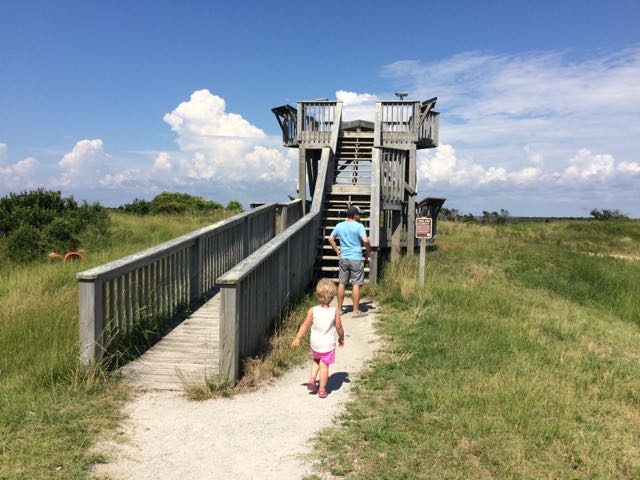 After exploring the visitor center we headed to the
 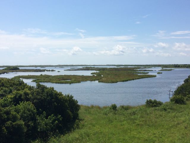 The North Pond Wildlife Trail is part of a larger grouping of trails that make up the Charles Kuralt Trail. It was established to encourage people to enjoy the wild lands and recognize this great NC native broadcast journalist who loved exploring remote places. The


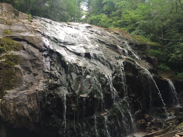 While we were in the NC mountains, Bill and I scooted out for a day date hike and beers in Blowing Rock. We hiked the
 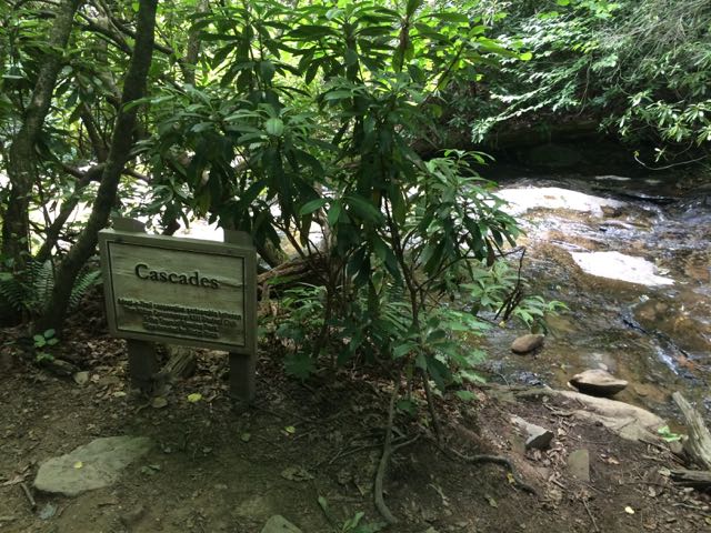 We arrived at the first waterfall, the Cascades, a little past halfway down the trail. The creek water gently flows over these moderately sloped rocks, allowing hikers to cautiously climb up the rocks to higher ground. We stopped to take in the sights and sounds before moving farther down the trail. On our next stop we hiked to the base of the trail at Glen Marie Falls. We climbed up large boulders sandwiched between small streams to get higher views of the mountains in the distance. Again, we stopped for several minutes to take in the quiet sights and sounds.


