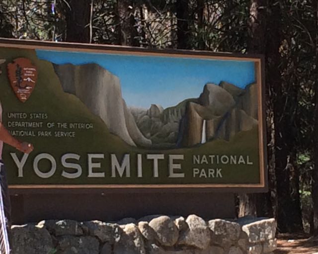
 Who’s up for a last minute visit to Yosemite with young kids during the super busy summer months? We are! Capitalizing on our successful Norther Ca trip, we rolled the dice on our final full day and drove our family two hours west to explore Yosemite for the day. With plans to rendezvous at my uncle’s rural 1910s family cabin situated on original Yosemite roads, we left early in the morning with a full tank of gas, fully charged iPads, open minds, and lots of food.
Yosemite National Park spans nearly 1200 sq miles in Eastern Ca, making it about the size of the state of Rhode Island. It reaches across the Sierra Nevada mountain range and is mostly known for its mammoth granite cliffs, waterfalls, giant sequoias, and diverse plants and animals. The geology of Yosemite National Park is a result of a combination of volcanic activity, uplift, erosion, exfoliation (responsible for the dome-shaped granite areas), and glaciation that happened over 25 million years ago. Starting in the 1850s, explorers, artists, and writers advocated for preserving Yosemite Valley and slowly expanded the protected area to include nearby forests and mountains. Yosemite switched from a state park to a National Park shortly after the National Park Service was started in 1916. We visited 100 years later!
Getting There
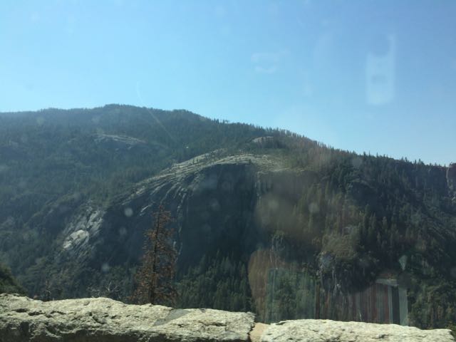 Since the Yosemite trip was last minute, intermittent cell service limited my mobile-friendly research as we drove through harrowing switchbacks and rural towns. Following my aunt and uncle’s advice, we headed to the popular Valley area of Yosemite in hopes that we could catch glances of El Capitan, Half Dome and some of the waterfalls. Driving from Sonora, Ca we drove along 120 East through Groveland and the Big Oak Flat Entrance. The drive through Yosemite starts out hilly with dense conifers and then becomes hillier with sparse shrubs, dead underbrush, sand, rocks and old dying pine trees. Then, suddenly before crossing into the big tunnel, the massive granite rocks explode before your eyes. You catch really quick (yet far away) views of El Capitan and Half Dome before going through the tunnel. After the tunnel you wind through switchbacks catching different views of the granite formations. Yosemite is enormous – it takes at least 40 minutes to drive from the main entrance to the bottom of the park.
Bridalveil Fall Trail
 Knowing the park would be busy, we aimed for short hikes easy in difficulty and with easy access. Using the simple Yosemite Valley day hike chart, we hiked the 0.5 mile (round trip) Bridalveil Fall Trail on our way into the park. We parked at the trailhead and follow the paved path to the 620 ft waterfalls. Since we visited in late summer, the waterfalls trickled, but I imagine in spring time after snow melts the falls are quite a spray. Other visitors climbed along the large boulders to the bottom of the light waterfall. Even though the waterfall spray was barely visible, it was amazing to look up at the massiveness of the rocks and feel so tiny.
After Bridalveil Fall Trail, we parked in the main parking areas near the Visitor Center/Museum so we could scope out the center and easily hop on the free shuttle buses. In my little research, I learned the shuttle buses were key to getting around busy Yosemite Valley. The trailheads and points of interest are spread out so we either walked along the wide bicycle paths or rode the bus. Wishing for more time in the museum and to see the short Spirit of Yosemite film, we pushed on and walked about a half mile along the bicycle path to access the Lower Yosemite Falls Trail.
Lower Yosemite Falls Trail
 Lower Yosemite Falls Trail is a one mile paved trail with little elevation change making it an easy walk for everyone. The path is mostly shaded with giant sequoias and huge slabs of granite rock making for nice photo backdrops. About half mile into our walk we arrived at the observation bridge of the falls. Lower Yosemite is the bottom waterfall section of the three-part Yosemite Falls. Unfortunately, with it being late summer the waterfall sprayed a mere trickle, but we tried to imagine the command it carries in spring after the snow melts. Before leaving the falls we admired, in jaw-dropping fashion, as pea-sized rock climbers scaled the mountain.
Views of Half Dome
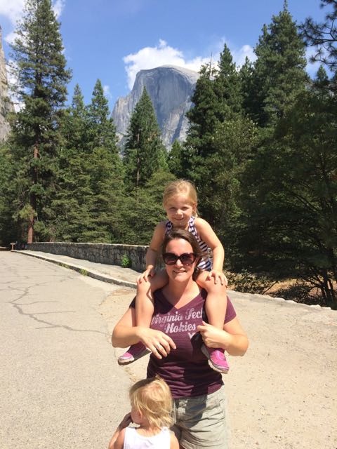 Wanting to get closer to Half Dome I quickly researched places within the valley to catch a glimpse. I learned the meadows behind the Majestic Yosemite Hotel (formerly known as the Ahwahnee Hotel) provide good views of the massive mountains, so we rode the shuttle bus to stop #3 outside the hotel. The hotel was built nearly a century ago with the design influences of Art Deco, Native American, Middle Eastern, and Arts & Crafts Movement. We walked to the back of the hotel, through a small path and turned left on the pedestrian path. Before crossing over the pedestrian bridge we arrived at the best spot we could find with a good glimpse of Half Dome (elevation 8800ft) in the background. Even from so far away it’s amazing to imagine people (including my crazy aunt) hike the 16-mile round trip.
After capturing a few pictures with Half Dome in the background, the girls and I splashed around in the crisp, cool Merced River that flows behind the hotel. We were hot and tired from the long day and we felt refreshed after a quick dip.
Driving out of Yosemite Valley, we followed my aunt’s handwritten directions for meeting them at my uncle’s rural cabin. After a harrowing 7 mile drive up original access roads into Yosemite, we arrived at the cabin. I immediately relaxed after enjoying a beer on the hammock and we took in the beautiful sites of the meadow from the back deck. My aunt and uncle planned a delicious steak dinner with all the trimmings – it made for a very memorable early birthday celebration! After a restful night’s sleep, we left for San Francisco the next morning feeling very accomplished as a young family of four and thankful to experience Yosemite! We can’t wait to return to Yosemite and spend an entire week camping and exploring the different trails – maybe one day we’ll even hike to the summit of Half Dome!
Looking Ahead & Tips For Young Families
Having spent only about 5-6 hours in Yosemite, we definitely maximized our visit with seeing a few waterfalls and catching a glimpse of Half Dome and El Capitan (on the way out). The girls pushed through the early afternoon hour when they’re usually quietly relaxing, but felt refreshed with our backpack snacks and a quick ice cream treat.
- Plan ahead and stay for a few days – camping spots in the park fill up months in advance, so plan your trip early or stay outside the park
- Less is more – bring a small backpack to carry around the park with essentials and snacks; visit the convenience stores and restaurants to refill with snacks and treats
- Bring a good camera – I’m kicking myself for not having my big camera with me
- Park & ride – park your car in one of the main lots and ride the bus as much as you can
- Do some swimming – there’s lots of options for cooling off in the creeks and Merced River
- Visit in late spring when the waterfalls are at full peak
- Wear your patience pants – if visiting in summer be aware of the large crowds and take breaks accordingly
Additional Resources:
Thumbs up: breathtaking views, massive rock formations, free shuttle bus rides, bike/pedestrian path connecting many points of interest, paved trails provide accommodations for everyone
Thumbs down: little time for planning on my part, drier waterfalls in summer mean less dramatic views, busy summer crowds
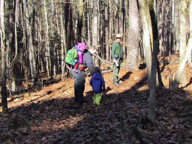 Lace up your hiking boots and head outside on New Year’s Day for an organized hike in a local park. Every state park in NC (city parks are catching on, too) organizes 2017 First Day Hikes to encourage fitness and reconnecting with nature in the new year. Last year we visited Murrells Inlet, SC for the first time, but this year we’re staying close to home and hope to discover something new (weather forecast at publication: a little chilly and dry)!
 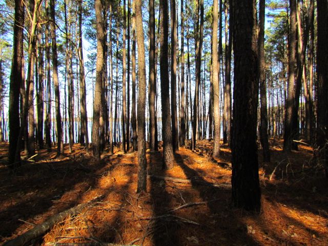 Falls Lake State Recreation Area – scavenger hunt with hike along Rolling View Track Trail (0.75 miles); start times at 10am, 11am, 12pm, 1pm; pre-registration is required; prepare for natural surface walking; event information; my 2015 First Day Hike review
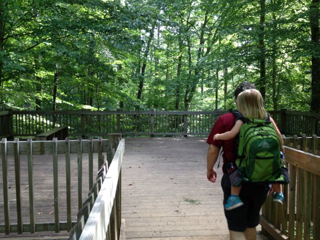 Umstead State Park – 1.3 mile hike along Pott’s Branch Trail; start location: small parking lot by Pott’s Branch trailhead (Hwy 70/Glenwood Ave); 9am start time; event information; my 2014 review of Pott’s Branch Trail
 Who’s up for a last minute visit to Yosemite with young kids during the super busy summer months? We are! Capitalizing on our successful Norther Ca trip, we rolled the dice on our final full day and drove our family two hours west to explore Yosemite for the day. With plans to rendezvous at my uncle’s rural 1910s family cabin situated on original Yosemite roads, we left early in the morning with a full tank of gas, fully charged iPads, open minds, and lots of food.
 Since the Yosemite trip was last minute, intermittent cell service limited my mobile-friendly research as we drove through harrowing switchbacks and rural towns. Following my aunt and uncle’s advice, we headed to the popular Valley area of Yosemite in hopes that we could catch glances of El Capitan, Half Dome and some of the waterfalls. Driving from Sonora, Ca we drove along 120 East through Groveland and the Big Oak Flat Entrance. The drive through Yosemite starts out hilly with dense conifers and then becomes hillier with sparse shrubs, dead underbrush, sand, rocks and old dying pine trees. Then, suddenly before crossing into the big tunnel, the massive granite rocks explode before your eyes. You catch really quick (yet far away) views of El Capitan and Half Dome before going through the tunnel. After the tunnel you wind through switchbacks catching different views of the granite formations. Yosemite is enormous – it takes at least 40 minutes to drive from the main entrance to the bottom of the park.
 Knowing the park would be busy, we aimed for short hikes easy in difficulty and with easy access. Using the simple
  Lower Yosemite Falls Trail is a one mile paved trail with little elevation change making it an easy walk for everyone. The path is mostly shaded with giant sequoias and huge slabs of granite rock making for nice photo backdrops. About half mile into our walk we arrived at the observation bridge of the falls. Lower Yosemite is the bottom waterfall section of the three-part Yosemite Falls. Unfortunately, with it being late summer the waterfall sprayed a mere trickle, but we tried to imagine the
  Wanting to get closer to Half Dome I quickly researched places within the valley to catch a glimpse. I learned the meadows behind the Majestic Yosemite Hotel (formerly known as the Ahwahnee Hotel) provide good views of the massive mountains, so we rode the shuttle bus to stop #3 outside the hotel. The hotel was built nearly a century ago with the design influences of Art Deco, Native American, Middle Eastern, and Arts & Crafts Movement. We walked to the back of the hotel, through a small path and turned left on the pedestrian path. Before crossing over the pedestrian bridge we arrived at the best spot we could find with a good glimpse of Half Dome (elevation 8800ft) in the background. Even from so far away it’s amazing to imagine people (including my crazy aunt) hike the 16-mile round trip.


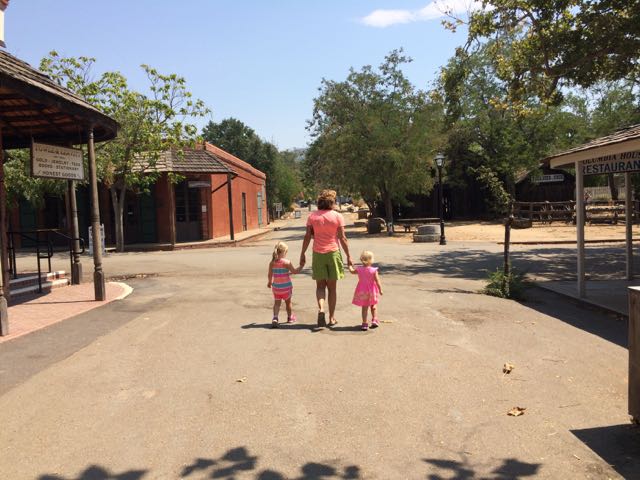 For part two of our northern California park visits we visited the Columbia State Historical Park. Columbia is a real working town that was restored to its 1850s gold-rush business district. Visitors travel back in time to the gold-rushing days where business staff dress in period clothing so visitors can experience stage coach rides, mine for gold, and much more!
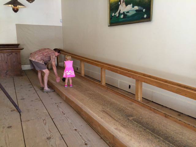 Strolling down Main Street, we first stopped at Parrott’s Blacksmith Shop to watch the workers forge iron into handmade goods. They make interesting outdoor art, decorative indoor items, horseshoes, unique furniture and more! Then we visited the museums, including the interactive old-fashioned bowling alley. The dentist office exhibit gave us lots of “eeks” as we glimpsed into some of the old fashioned tools and supplies used to clean and pull teeth.
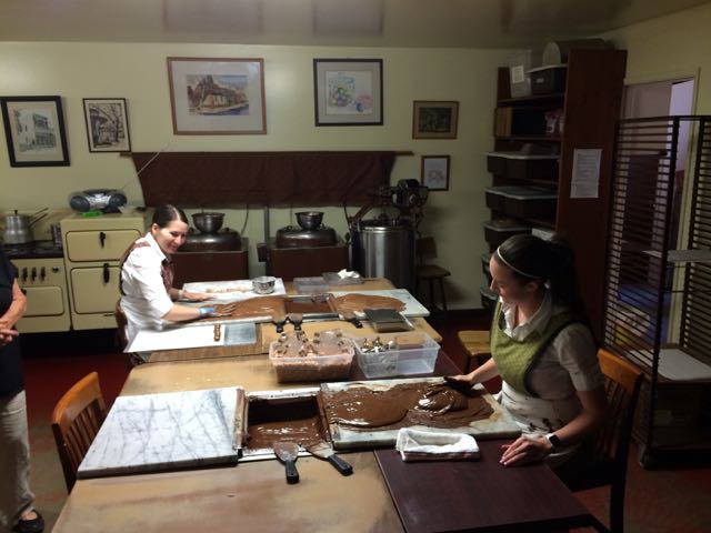 Janice showed us how they mixed and rolled the jelly candies, candy canes, and ribbon candies. The process is very exact and relies on the mechanical workings of old machines, molds, and ovens. We were so grateful for Janice’s personal tour of her beloved candy shop – it was so neat to learn about candy making and hear her personal stories about the shop. No candy store visit would be complete without buying some nibbles. The girls loved gawking at all the sparkly candies and squealed in delight while tasting the different jelly candy and chocolates. My personal favorite was the salted chocolate almonds while the girls loved the flavored jelly candies.


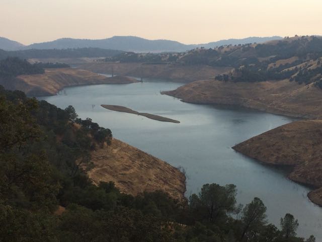
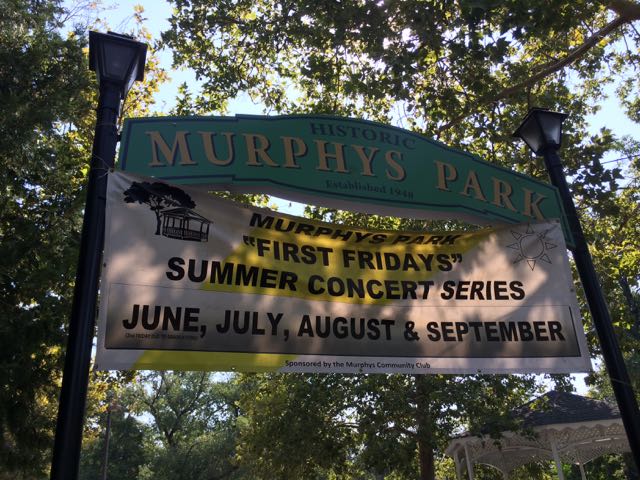 And so begins my multi-part series on public parks we explored in Northern Ca. At the end of the summer we took the girls on a huge adventure to visit my aunt and uncle in Northern California. It’s unfortunate we waited so many years before visiting them – we made amazing memories this trip and I’m so glad we shared it with our kids.
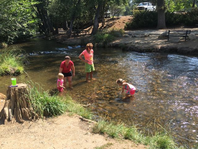
 After exploring the park we visited retails shops in downtown Murphys and ate a yummy lunch at


 Over the past few years I’ve continually heard about the amazing “dragon” park in Cary with great play areas for all kids. Well, we finally ventured to the super popular Marla Dorrel Park, which features the
 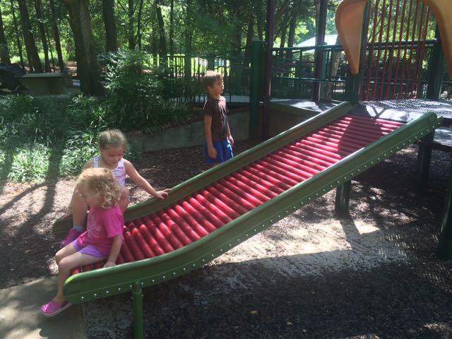 Beyond this playground is another play structure with graduated levels of difficulty that feature wheelchair ramp access, twisty slides, arched ladders, a fun rolling slide, interactive play items and so much more. Tot swings, traditional swings and chair swings are also located nearby including a swinging platform with wheelchair accessible ramps. The playground surface is mostly sand so bring your sand toys or enjoy the diggers; but wide paved sidewalks wind throughout making it easy to access all areas. They even have wheelchair-accessible sand tables along the pathways!


 If you can’t tell by the themes of some of my latest blog posts, biking has been our family’s new passion. Having a bike hitch, bike trailer and at least one child biking on her own really opens up the family bike outings to beyond the driveway or cul-de-sac. Even though Bill is usually the one to strap the bikes onto the hitch and gather all the gear, I’ve made it a point to learn how to do it on my own in hopes that I could take the girls out by myself. Feeling rather confident about strapping all the bikes onto the hitch, remembering all the gear and snacks, I took the girls for a bike ride on Abbotts Creek Trail one summer morning in August.
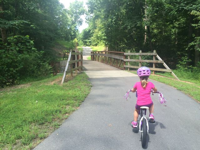 The bike ride back to the car was successful and even a bit adorable as my stop-and-smell-the-flowers daughter took advantage of light greenway traffic with her simultaneous bike ride swaying and singing. Despite the hot weather, the girls made the trip so much fun and were so patient with me as I carefully installed the bike equipment back onto the car.
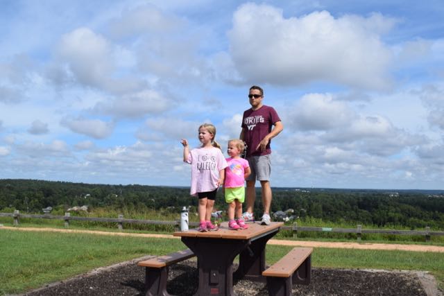 We biked to the bottom of the trail that leads to the top of the landfill, parked our bikes and walked to the top. I’m the only one in our family who has ever been to the top of the landfill, so I was excited to share the views with everyone. The little ones took turns exclaiming their discomfort for walking up the hill, but it’s such a short walk (less than 1/4 mile) that they pushed through it.


 Last summer Bill and I biked by this
 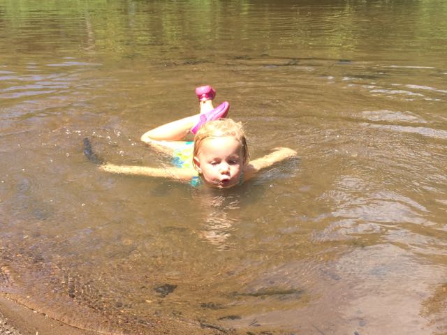 It hadn’t rained recently so the beachy area was actually wider and longer than I’ve seen it at other times and the river flowed slowly. The water was pretty warm except in the middle of the river, which was over our heads in several spots. We didn’t bring life jackets with us and the water wasn’t very clear so the girls mostly played near the shore line looking for tadpoles, playing in the sand/mud, or splashing in the water with the other young family that was there. While we were there a few paddle boarders passed by including a father and young daughter out for a ride (next summer’s bucket list goal).


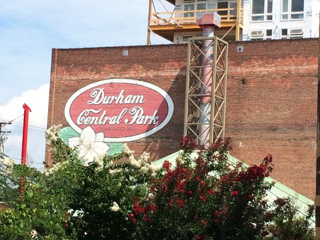 Part of my summer bucket list for the past few years included a trip to the Durham Farmers’ Market. Unfortunately, we never made time to visit Durham during the summer (unless it was for a Bulls game) until this summer. A few weeks ago we had an atypically quiet weekend at home so we decided to head out to the
  After exploring the main area, we walked across the street to the mini food truck rodeo area, where we bought some fresh tea and loco-pop popsicles. There were tons of vendors at the market selling clothing, unique handmade items, cold drinks, household items and more. After window shopping we walked across the bridge at the intersection of Foster and Hunt St where it dumped us out into the large lawn area, also part of Durham Central Park. We walked up the hill to scope out the skateboard park, which is also located across from a police station. After watching the skaters for awhile we headed back down the hill past the Leaf open-air performance area to the fabulous playground area, Mt. Merrill.
 The playground features amphitheater-style rock climbing, two slides, climbing net, and some shade sails. I especially loved the cute bird cut-outs perched on top of the poles. There are also some benches sprinkled along the nearby sidewalk and some shady spots in front of the playground by the wooded area. We grabbed a few of those shady spots and had a quick picnic with our edamame and blackberries. The girls loved jumping back and forth between having a snack and playing on the playground. It was neat and unusual to see large boulders used as a climbing element in a playground.


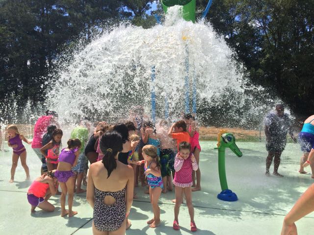 When we didn’t travel this summer, we explored lots of different places in Raleigh – the library, nature parks, the pool, and trampoline parks. After feeling like we exhausted places in Raleigh, we mixed things up and visited different places outside Raleigh. First on our stop was the
  The splash pad costs $2 per child for non-residents (cash only) and is free for Fuquay-Varina residents with a Resident Splash Card. During the summer, the splash pad opened at 11am so there was quite an initial rush and it was at capacity by the time we got there at 11:15am. After about 15-20 minutes the attendant called for everyone inside the splash pad to exit while the next group entered. This juggling of guests continued for a few cycles before the crowds naturally evened out.


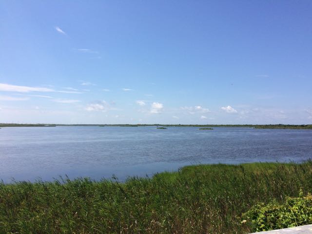 When we were in Nags Head last month we spent the last full day exploring Pea Island National Wildlife Refuge, which is located on a barrier island of the Outer Banks in NC. The Pea Island National Wildlife Refuge is part of a larger national wildlife refuge system with more than 500 units that was founded by President Teddy Roosevelt in 1903 to conserve the nation’s natural living treasures. The Pea Island Refuge was established in 1938 to provide a resting and winter habitat for migratory waterfowl. It features a visitor center, the North Pond Wildlife trail (which is part of the larger Charles Kuralt Trail), and 13 miles of beaches. We did a little bit of everything just before the big storms rolled in, making the trip a perfect last day adventure!
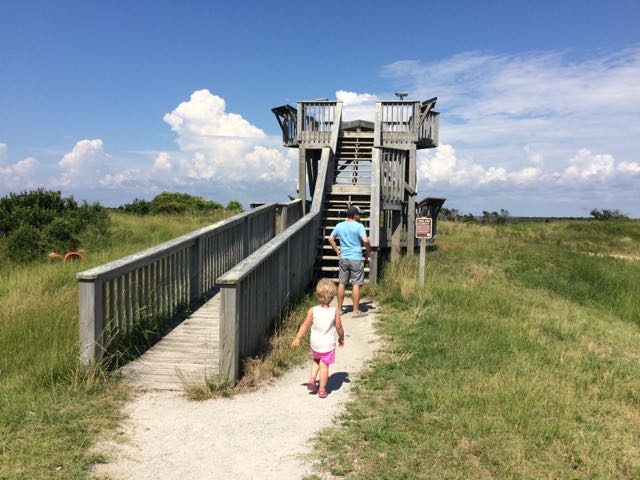 After exploring the visitor center we headed to the
 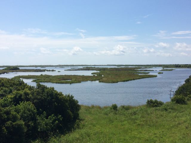 The North Pond Wildlife Trail is part of a larger grouping of trails that make up the Charles Kuralt Trail. It was established to encourage people to enjoy the wild lands and recognize this great NC native broadcast journalist who loved exploring remote places. The


