Prairie Ridge Ecostation

img_5501

A few weeks ago Claire finally got her own special park day where we took advantage of an early Spring day and headed to the Prairie Ridge Ecostation, which is NC Museum of Natural Science’s outdoor learning space.  Even though the science museum is located downtown, this outdoor gem of 45 acres is located down the street from the NC Museum of Art at 1671 Gold Star Drive in Raleigh.

The Prairie Ridge Ecostation is an outdoor oasis of walking trails, play spaces, nature programs, animal habitats, gardens, and more!  This particular day we spent the morning with friends listening to the storytime program, walking the trails, and exploring the outdoor buildings/gardens.  After parking, we headed on the paved trail (with the small signage) through the woods and eventually found the outdoor storytime spot at the amphitheater.  I love the idea of outdoor storytime, but with the noise from the nearby road and a novice story teller, it did not make for optimal conditions. So, even though several of the smaller kids lost interest, there is plenty of adjacent natural play areas: tunnels and slides, sifting, digging, stacking, balancing, jumping on tree trunks and more!

img_5519Next, we passed by several picnic tables and open spaces on our way to the grassy walking trail.  The trail follows along the stream and then crosses into the lowland forest and piedmont prairie areas.  Near the piedmont prairie area is a building that overlooks the pond that is made for bird watching.  The kids had a great time looking for birds and playing in the building.  After we arrived back at the beginning of the trail (about 1/2 mile total) we visited the Green Building, which is used mostly for educational programs but also has restrooms and a back deck great for picnics. Since we didn’t pack a picnic we continued to explore the grounds and settled in the Nature Neighborhood Garden.  The garden features NC native plants, dry stream beds for collecting run-off water, a koi pond and more.  Claire and I enjoyed some quiet time on the benches under the pavilion before heading out.

This outdoor expansion to the science museum is a must-explore spot for any family; wear old clothes, pack a picnic lunch, bring a carrier for any non-walking children and plan to get dirty!

Resources:

Thumbs up: outdoor learning opportunities, play space, picnic spots, bird watching

Thumbs down: story time program is in its infancy

Falls Lake Hike Day Hike A: Raven Ridge Rd towards Dam

img_4946Every New Year’s Day, NC hosts First Day Hikes all over their state parks to promote a healthy start to the year. Even though the organized First Day Hikes didn’t exactly work with our kiddo schedules we drove up for a short hike of our own near Falls Lake.
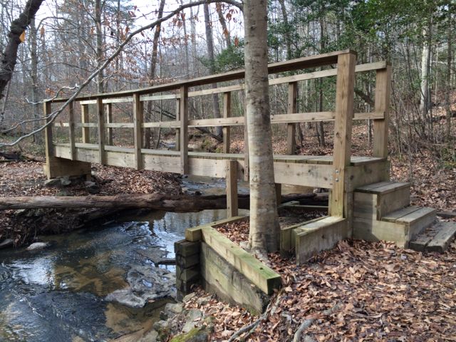
Falls Lake is a state recreation area just 10 miles north of Raleigh with 7 individual parks, a 12,000-acre lake and 26,000 acres of woodlands.  For our hike, we chose one of the southeastern fingers to explore.  The portion of the trail we hiked is from Day Hike A (from Shinleaf Rec Area to Falls Lake Dam) of the Mountains to Sea Trail.  Mark Edelstein provides a very detailed description of the hiking trails through Falls Lake, which I used to help navigate the area.  We hiked a portion of this trail heading west to east.

img_4947To find the gravel pull-off parking area (noted at the 3.5mi mark in Section 1) we drove north on Falls of Neuse Rd and turned left on Raven Ridge Rd and parked along the side of the road shortly after passing Annie Wilkerson Nature Park.  After getting everyone strapped in their gear, we set off by following the small sign pointing east towards Falls Lake Dam, which is 3.5 miles away.

This is a very moderate hike with small hills and a fairly wide trail throughout.  It is a heavily wooded area, giving a lot of shade to the trail.  Most of this section also closely follows much of the lake, so there are several lake inhabitants and small waterfalls to discover along the way (great for puddle stomping during summer time).  We also passed a trail entrance into Annie Louise Wilkerson Nature Park, which happened to be closed for the New Year holiday, but would be fun to incorporate into a short hike.

We only hiked about 2.4 total miles that day and didn’t make it to Falls Lake Dam, but I’m looking forward to starting at the dam and heading west on our next hike through Falls Lake.

Resources:

  • list of day hikes through Falls Lake as compiled by the Mountains to Sea Trail campaign
  • Detailed hiking descriptions from Falls Lake Dam to Raven Ridge Rd
  • Falls Lake map (although not detailed enough for hiking trails)

Thumbs up: views along stream, clear hiking signage along trail, great shade

Thumbs down: planning a hike in Falls Lake using NC Parks online resources (use the Mountains to Sea Trail site instead)

Umstead Park: Pott’s Branch Trail

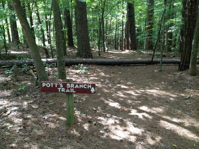
img_4165At the end of last summer we ventured out for some hiking at Umstead Park.  Since Claire was only about a month old at the time, we wanted to keep it pretty easy so we explored Pott’s Branch Trail, which is only 1.6 miles and easy on the difficulty scale.  To get to Pott’s Branch Trail, use the park entrance at 8801 Glenwood Ave and continue straight to the back of the park where you’ll come to a large parking lot.  We parked in the larger, two-level parking lot and after a lot of configuring backpacks and bjorns we set off to find the trail head.

img_4155For some reason, even for two directionally-sound people we had a hard time finding the trail head for Pott’s Branch Trail.  From what I remember the signage was horrible and after a lot of stumbling around, we eventually found it.  Lucky for us, this is small looped trail so regardless of where we got on, we’d eventually get back to the parking lot.

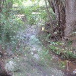
Raleigh had a very wet summer last year and the trail was evidence of such.  Portions of the trail parallel a small stream, which had debris filled branches indicative of higher water levels.  There were also some large downed trees and muddy areas, which made us think the stream must have risen over the bank in areas.

The trail itself was very easy; other than a few downed trees that we walked around and large tree roots along the way, the trail is very flat and comfortable for most any fitness level.  Along the way, you’ll pass a large wooden deck, picnic table and small grill, and roads in the very far distance.  Since this trail is on the opposite side of the road from Big Lake, you won’t see any large bodies of water, but the flowing stream offers some interesting views and holds the attention of toddlers!

Thumbs up: quick and easy hike, nearby stream, wide and shady trail

Thumbs down: poor signage from the parking lot to trail head

Sal’s Branch Trail Photo Update

Labor Day weekend my sister and brother-in-law visited so we headed back to Umstead Park where we hiked Sal’s Branch Trail again.  Be sure to read my first review of that trail, but again, I love that it’s a good distance (2.75 miles) and has nice views of Big Lake.  We got such an early start on the hike that we were able to grab lunch to go from Moe’s and visit the nearby Gizmo Brew Works for some much needed beers and a picnic lunch! Gizmo Brew Works is nestled in an industrial park off Glenwood Ave and has an array of inside seating (couches, tables) and some picnic tables outside. Albeit, probably not designed to bring kids, but we made it work! They don’t serve food, but we’re fine with us bringing outside food so plan accordingly.

Helpful Links:

Edna Metz Wells Park

This post originally appeared on southwestraleigh.com, where you can learn more about what a great place South West Raleigh is to live, work, and play.

Looking for a park in the Creative District bursting with fall colors?  Then, make your next park visit to Edna Metz Wells Park, where urban and nature intersect. This is a small park on the edge of Cameron Village that you’ve probably passed by a dozen times on the way to Glenwood South and never paid much attention.  It’s located at the intersection of Smallwood Drive, W Johnson Street, and Peace Street at the southern edge of Cameron Village. W Johnson Street is one-way, so go around the block and park either on Park Drive or W Johnson Street.  In late 2010, a $340,000 stream enhancement project was completed at the park as part of an improvement plan for Pigeon House Branch, a watershed that drains much of the downtown area.
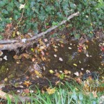
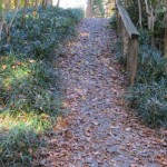
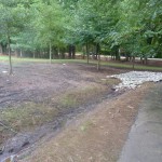
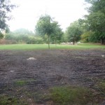
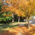
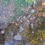
Edna Metz Wells Park has several walking trails that meander through the mature trees and over the stream.  Several small bridges cross the water and large boulders on the southern part of the stream aid in preventing further erosion.  The dense forest is full of pines, oaks, magnolias, and ferns, to name a few!  The leafy tree colors are magnificent right now, great for photo ops and picnic spots.

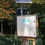
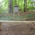
There are also a few open areas in the park, still mostly shaded with nearby benches.  This is a great park for taking in some nature in an urban setting.  The sounds from the stream provide a nice backdrop to the busy nearby streets.  The USGS stream gauging station at the park helps monitor water levels and flow rates for flood forecasting and other projects.

So, grab a lunch or dinner nearby at Noodles & Co or Piccola Italia and head to Edna Metz Wells Park for a nice stroll and picnic.

Thumbs up: photo ops, shady, walking trails, nature spot, beautiful neighborhood park

Thumbs down: lack of information on-site about park

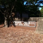
Kiwanis Park & Crabtree Creek Trail

A few weeks ago we headed down to Lassiter Mill Park again to access the nearby greenway via Crabtree Creek Trail for a run. Little did we know that after a mile and half into our run, we would come to Kiwanis Park. It was a nice surprise and a good break from the run, as we weren’t anticipating either!

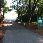
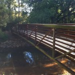
Following the greenway was a bit tricky in some places.  If starting near Lassiter Mill Park, you’ll  eventually come to Claremont Rd, where the greenway signs stop.  Take a left onto Claremont Rd and then cross Anderson Dr where Claremont Rd turns into Oxford Rd.  Stay on the sidewalks and you’ll shortly see the next portion of the greenway on your left, which will lead you straight to Kiwanis Park.  Despite the trickiness of the greenway, this has turned out to be one of the favorite running trails in Raleigh.  It is super FLAT and the bridges and scenery you pass make the running seem effortless at times.

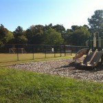
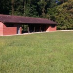
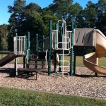
The Kiwanis Park is located at 2525 Noble Rd just inside the beltline. It has a playground area with a jungle gym, but no swings. There are also several large open fields, mostly used for playing soccer. There is a sand volleyball court, baseball fields, and a basketball court. The nearby community center is not staffed and is available for rent.  The large pavilion has several picnic tables and restrooms.

Even though you can get to the park by car, why not make this a greenway/park/brunch adventure with the kids! 1) Run/walk 1.5 miles with the stroller on the greenway to the park, 2) let them burn up some energy on the playground while you rest from your run/walk, 3) then run/walk 1.5 miles back followed by 4) yummy brunch at Nofo at the Pig!

Thumbs up: flat portion of greenway, scenery along greenway, playground, open fields at park, recreational sports

Thumbs down: signage along parts of greenway, no swings on playground

Kaplan Drive Park

This post originally appeared on southwestraleigh.com, where you can learn more about what a great place South West Raleigh is to live, work, and play.

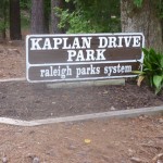
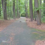
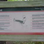
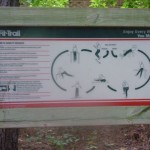
There is a small neighborhood park nestled between I-440, Kaplan Drive, and a residential area where parking is only available on the street. The tall trees try to muffle the noisy highway sounds, but after all, this is a city park inside the beltline. And if you’re jogging or walking by Kaplan Drive Park at 5208 Kaplan Drive, you can stop by to use the fitness stations.

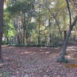
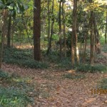
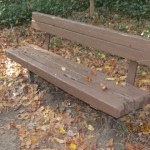
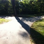
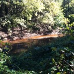
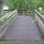
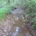
Kaplan Drive Park has a 1/4 mile paved loop with 10 fitness stations and two benches scattered about.  There is a small stream running through the loop and two bridges to cross, making it fun to explore for turtles or other water creatures.  The paved trail surrounds a heavily wooded forest boasting diverse trees, putting your child’s tree identification kit to good use.

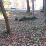
There are two large open fields at this park: one just below the tree line of I-440 and another near Kaplan Drive.  The fields could be perfect for frisbee, a game of tag, or other fun kid activities.  Unfortunately, there aren’t any picnic tables at the park, so bring a large blanket for a picnic in one of the many open, shady spots.

Even though this isn’t a destination park per se, it’s a fun neighborhood park to explore on a walk with the dog or a jog down the street.

Thumbs up: shade, trees for possible leaf identification project, fitness stations

Thumbs down:  slightly slippery trail due to moss, no picnic tables, noisiness of I-440