 When the weather hovered in the high-70s on Christmas Eve, my family headed to a newly opened section of greenway for some exercise before filling up on holiday libations and rich foods. East Fork Mine Creek is a 2.5 mile north-south paved trail that runs along Mine Creek near Lynn Rd to the north side of Strickland Rd. We drove to one of the entrances of the trail near the intersection of Newton Rd and Sandy Creek Rd and parked in the shopping center across the street (note: take note of “no parking” signs; we arrived before the shops opened so we thought we’d be fine with parking in the center).
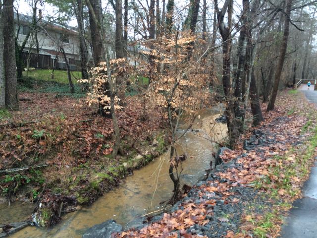
After crossing Newton Rd and heading north on the trail we quickly passed mile marker 1. With the recent rains the paved trail was pretty wet with debris and the nearby Mine Creek flowed quickly. This section of the trail runs behind a residential area of houses and apartments. We also passed by a large section of tall bamboo on the side of the trail opposite the creek.
 We continued north on the trail until we came to Old Deer Trail, a neighborhood street in the Summerfield subdivision. We crossed over Old Deer Trail and followed the Capital Area Greenway signs as we winded our way through this cute, low-traffic neighborhood. We passed a few other bikers and walkers along the way before coming to Strickland Rd. We crossed Running Cedar Trail, heading east on Strickland Rd where we also passed West Millbrook Middle School and mile marker 2.5, the end of East Fork Mine Creek Rd. At this point of the trail there is a well marked pedestrian crossing area designated for crossing over busy Strickland Rd. My aunt and I opted to head back to the car while the rest of the group crossed Strickland Rd to extend their run on the connecting Honeycutt Creek Trail (more on this hilly trail in a future post).
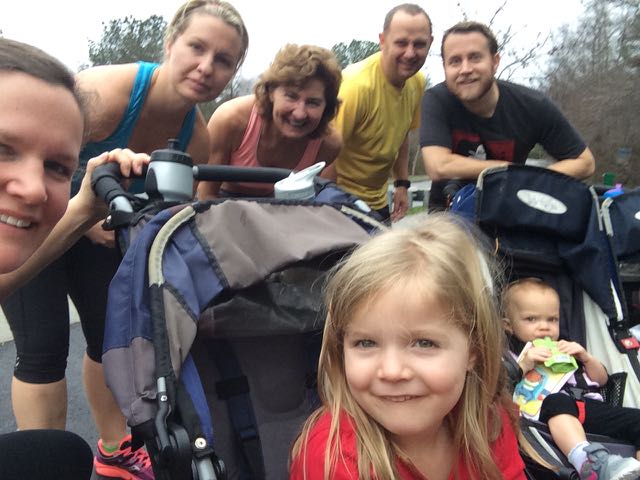
A morning run on this section of East Fork Mine Creek was the perfect pre-Christmas exercise to involve all ages. This section of the trail is pretty flat and offers lots of creek views, houses and people for little ones to view.
Thumbs up: flat trail, creek/residential views, safety, well-marked pedestrian crossing at Strickland Rd
Thumbs down: designated trail parking near Newton Rd


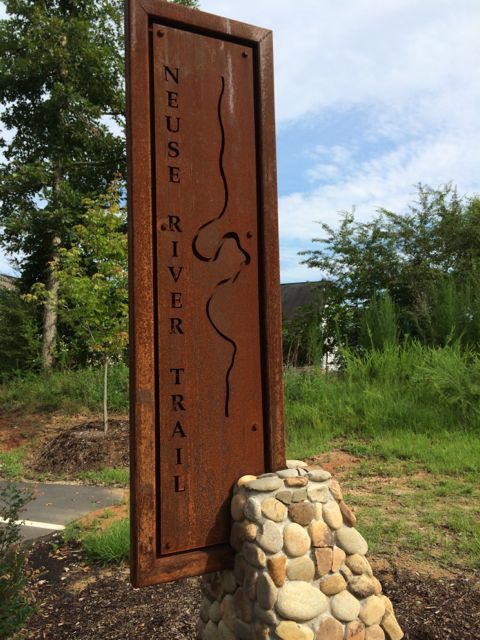
 For the few days it’s been sunny and above 40 degrees this winter you could easily find us at a park or greenway soaking up the fresh air. Even though we’ve explored a lot of the southern end of the Neuse River Trail, we hadn’t run along the northern portion (aka Upper Neuse Greenway) until this winter. It’s a great location to get some exercise and then have a picnic along the shores of the dam.
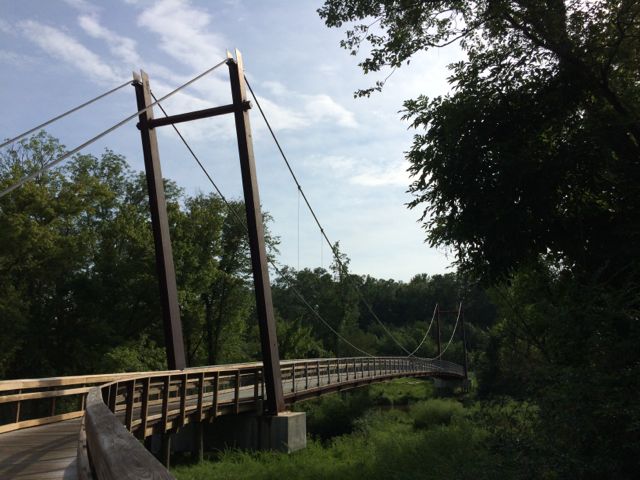
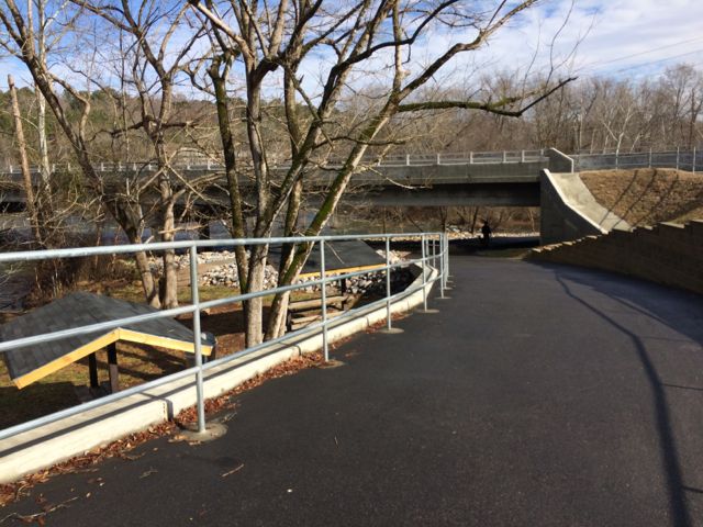
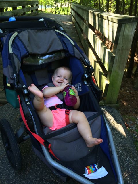
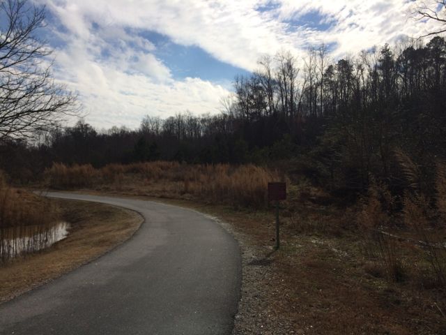 On this particular day the water level was elevated, so it was relaxing to hear the rushing water flow over a screaming 18-month old (yes, she screamed for about 95% of our run). Regardless, this trail is great in that it parallels the river offering great water views and glimpses of the native flora and fauna. We saw herons, beautiful budding red berry bushes (maybe winterberry shrubs) and tall native grasses. We passed under Falls of Neuse Rd and over small bridges. We also passed by the Bedford at Falls River neighborhood with greenway access to Falls River Ave and then turned around at the 1.5 mile mark, which is by the fork in the trail; keep left to stay on the greenway or stay straight for another access point to Falls River Ave and a greenway parking lot. The steady stream of foot traffic and proximity to made me feel secure about returning on my own and the relatively flat, wide trail might make it ideal for kiddo balance biking!


 So, after a Monday morning camp drop-off at Greystone Rec Center, Claire and I researched nearby greenways to explore using the