Back in April our family camped in Tybee Island, GA for Spring Break and it was awesome. It was our first real Spring Break trip as a family and it couldn’t have gone better. When planning our trip we wanted to go somewhere new to us, warm, inexpensive, and within 6 hours away. After researching some options, we landed on Tybee Island, GA. Having never visited nearby Savannah, we longed to visit Charleston’s cousin and get to a beach. After an extremely cold and long Raleigh winter filled with colds and flu, we were super excited to get out of Raleigh.

Rivers End Campground & RV Park
We stayed four nights (our longest stretch) at Rivers End Campground & RV Park located in the northern area of Tybee Island. As I’ve commented to other people this was the first vacation where I had little parenting to do. The campground was super family-friendly, so we felt very comfortable letting the girls ride their bikes around the campground. They buddied up with kids of similar ages next to us and biked miles of circles around our campsites. Even after dark they’d swoosh by us giving a “Hi” so we could catch a glimpse of their glowstick contrails.

The campground (located in a residential area) featured spacious parking areas, mature palmetto trees, a cute camp store, and easy beach access. The nearby beach was very deep and not busy, making it fun and private. Though the water was freezing, the warm weather didn’t stop the girls from swimming on sunny days.

Being located in a residential area, we enjoyed family bike rides through the quiet streets. We even biked up to the busy sidewalks along US-80 to explore the local shops, coffee bars, and restaurants. One evening we biked to Huc-a-Poo’s dive bar, which had a great laidback atmosphere, a fine selection of craft beers, and super friendly waiters.
Exploring Savannah, GA
The first morning in town we packed up and drove the short 25 minutes to Savannah. First, we visited the Owens-Thomas House, which was built in 1816 as an urban plantation home. In 1830, George Owens, the mayor of Savannah, purchased the home for his family. The home stayed in the Owens family for over 100 years until it opened to the public in 1954.

We toured the home which lasted about 45 minutes. The tour focused on the 1830-1840 time period when George Owens’ family first lived in the home. We learned about life on an urban plantation, including a glimpse into a working cellar, the interaction with the slaves who were mostly female, and entertaining during that time.
After the tour we walked a few blocks to Broughton St for lunch and beers at Savannah Seafood Shack. On the way, we enjoyed walking through the squares and taking pictures with the oaks draped in spanish moss. At the restaurant, the girls devoured crab legs and french fries while Bill and I crushed the low country boil lunch portions. Then we headed down the street for some famous Leopold’s Ice Cream. We’re not usually the touristy crew who waits in line for 45 minutes, but it was hard to pass up an ice cream shop that has been around for nearly a century. We all got a kick out of the old diner decor and thought the ice cream was scrumptious. I enjoyed the lavender flavor, while Bill chose caramel and the girls devoured mint chocolate chip.

For our last stop of the day, we walked over to Webb Military Museum. Though Gary Webb started the museum only about two years ago, he’s collected military artifacts for decades. He passionately greeted us at the front desk and spoke openly about his love of history. He shared about his mother’s childhood living in London during World War II and how that opened the door for his military passions.
The self-guided museum took us about 30 minutes to walk around. We saw interesting artifacts from the Civil War to Desert Storm across all branches of the military. Ashley was very intrigued by the old photos and clothing, while Claire mostly slept on my shoulder. Though the museum is small, it was neat to see a private collection of artifacts in such a personal setting.
Tybee Island Dolphin Watching
Wanting to get out on the water, we booked a dolphin cruise through Captain Derek’s Dolphin Tours. Based on Yelp reviews, the chances of seeing dolphins seemed pretty good. Not only did we see dolphins up close, but we also saw mothers swimming with their newborn calves. The calves were so tiny, but the experience was so amazing!
While out on the water, the first mate shared some history of the area including the Cockspur Island Lighthouse and adjacent Fort Pulaski. The lighthouse miraculously stands in the middle of the South Channel of the Savannah River. Originally built in 1839 as a daymarker to note the entrance of the South Channel, the lighthouse has seen its fair share of destruction – man and nature imposed. The lighthouse is currently closed to visitors, but a trail provides access from nearby Fort Pulaski, or kayak in to get a closer look.

Fort Pulaski
After seeing Fort Pulaski by boat we wanted to explore the fort closer by land. Fort Pulaski is located between the North and South Channels of the Savannah River at US Highway 80. Similar to Fort Macon in NC, Fort Pulaski is part of the third-system forts built to protect against international harm. Robert E. Lee helped construct Fort Pulaski named after Casimir Pulaski, a Polish war hero remembered for aiding America during the Revolutionary War, especially during the Battle of Savannah. The fort was made of over 25 million bricks, mostly constructed in Savannah, but also shipped in from Maryland and Virginia. The brick walls reach over 20 feet high and up to 11 feet thick in some places. After construction completed in 1847, the fort saw no action until the Civil War.

After Georgia seceded in February 1861, Confederate troops moved into the fort in anticipation of a possible attack. Union forces occupied nearby Tybee Island in November 1861, with only the Savannah River separating the two opposing sides. In April 1862, firing started between the fort and Tybee Island. The Union’s rifled cannons proved too much for the fort and the Confederate troops surrendered after 30 hours. The fort served as a prison for the rest of the war.
After the war, the Army Corps of Engineers modernized the fort with tunnels and passageways. The fort also became a destination on the Underground Railroad for slaves seeking freedom. In 1933 the National Parks Service began restoration of the fort, and it opened to the public in 1964.
When visiting the park, don’t forget to stop in the Visitor Center. It features several exhibits about the fort including a short film documentary. The girls enjoyed running up and down the large fort passageways and seeing various rooms restored to reflect specific periods of time. No visit is complete without climbing to the top-level to realize the massiveness of the fort. It’s hard to imagine anyone or thing successfully penetrated it.

After exploring the fort, we drove to the picnic area for a quick lunch before heading out on our bikes through the trails around the park. We biked along the flat paths to see the North Pier, the John Wesley Memorial and armament. We also found an unmarked path near the North Pier that led to a remote shoreline along the North Channel of the Savannah River. In true explorer fashion, the girls roamed around the shore picking up interesting shells and noting tracks in the sand.
Downtown Tybee Island
Having spent most of our time in and around Savannah, we wanted to explore more of Tybee Island after Fort Pulaski. After not finding any parking at the Tybee Island Light Station, we continued south into Downtown Tybee Island. We parked near the pier and headed into the Tybee Island Marine Science Center before closing time. Though it’s a small science center, it features lots of interesting fish and creatures. The girls loved interacting with the touch tank, seeing the turtles, and watching the jellyfish. The center regularly holds beach walks where you meet a scientist on the beach for more hands-on fun. If we hadn’t just spent all morning at the fort, we definitely would’ve done the beach walk.
After the marine science center we walked along the main pier, which was super touristy. We were amazed at all the people swimming and sunbathing on such a windy day. Following our very short pier walk, we walked into downtown for a quick ice cream cone before heading to our more-preferred North Tybee Island location.

As we packed up on the Monty Winnie on the last day we wished we had one more night – a great sign of a fun-filled trip. Though the drive was a long slog down I-95, being on the beach after a drawn-out winter was just what we needed! Now that it’s time to start planning for next Spring Break, I wonder what we’ll do 😉
Thumbs down: touristy nature of downtown Tybee Island area and along Savannah waterfront
Thumbs up: walkability and history of Savannah, quiet/residential area of North Tybee Island, everything about Rivers End Campground, beautiful water views of the Savannah River, remote areas of Fort Pulaski, Tybee Island Marine Science Center’s easy and affordable access


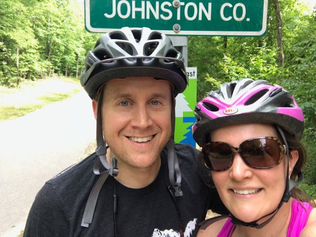 Over Memorial Day weekend, my sweet in-laws watched the girls while Bill and I enjoyed a biking and beers day date. Wanting to explore a new (to us) portion of the greenway, we headed to the southern portion of the Neuse River Trail near the Wake/Johnston County border. In all, we biked 15-miles (out and back total), crossed two counties, followed a river, detoured around an unpassable bridge, passed a historic bridge, and saw some art before grabbing beers at Deep River Brewing – a pretty awesome afternoon!
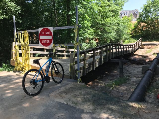 Continuing on Clayton’s greenway (technically called Clayton River Walk on the Neuse), we arrived at the Riverwood neighborhood where we found the bridge damaged and unpassable. At the time we didn’t see signage showing a detour route so I jumped onto the Town of Clayton website. I learned that last fall’s Hurricane Matthew caused near record flood levels for the Neuse River and took out the bridge. The town’s website shows a
 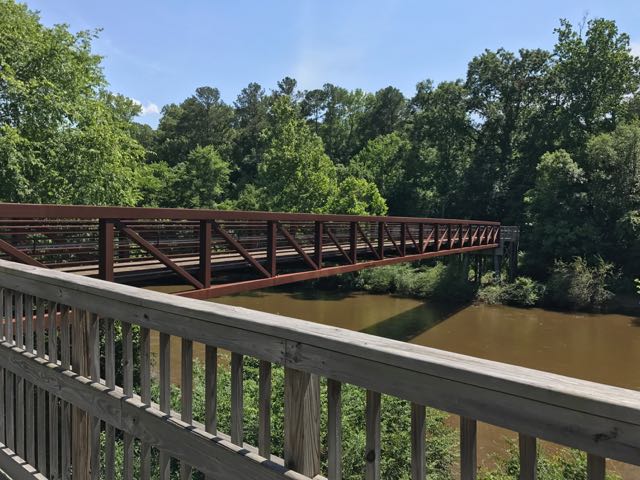 After biking the hilly detour through the neighborhood we met up with the trail and continued south. The trail remains mostly flat and sunny with clear views of the river. We passed a large sandy access spot for the river, complete with benches. Then, we biked under Covered Bridge Rd with a history that dates back to 1863 when it was first commissioned as a ferry replacement. Historians believe the bridge was covered around 1883 and most recently replaced in its current concrete form in 1980.
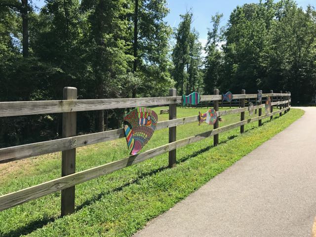 After safely maneuvering through the sand and dirt construction zone, the 1.25-mile paved trail leads away from the river towards North O’Neil St. Along the way we passed beautiful community art displays of hand-painted wooden fish. Then we biked by a public art garden featuring butterfly-shaped bike racks, benches, totem pole and a little free library. The trail also showcases information signs about forest animals in the area before passing a developing neighborhood and ending at a large greenway access parking lot at


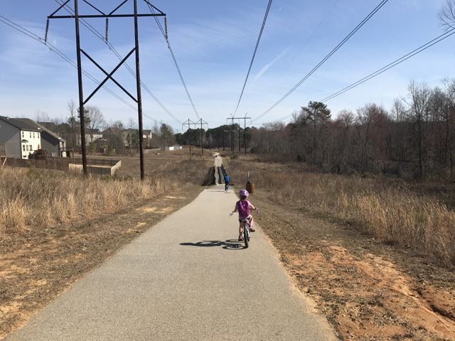 Looking for a fun family bike ride over the holiday weekend? Discover the
 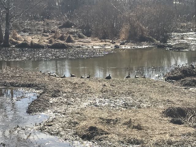 We maneuvered through the neighborhood sidewalks and carefully crossed Hodge Rd to continue on Mingo Creek Trail. Shortly after, we biked along the half-mile causeway, which was sandwiched between marshy areas and residential homes. We stopped on the causeway to watch the turtle and duck families sunning in the water. A great heron (or egret) also caught our eye.


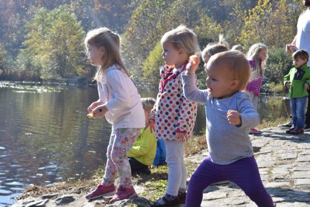 Last fall we headed to Richmond for a little man’s 1st birthday party. Before the big party we headed with friends and all our littles to
  Farmers Market, Trail Walking & Pond
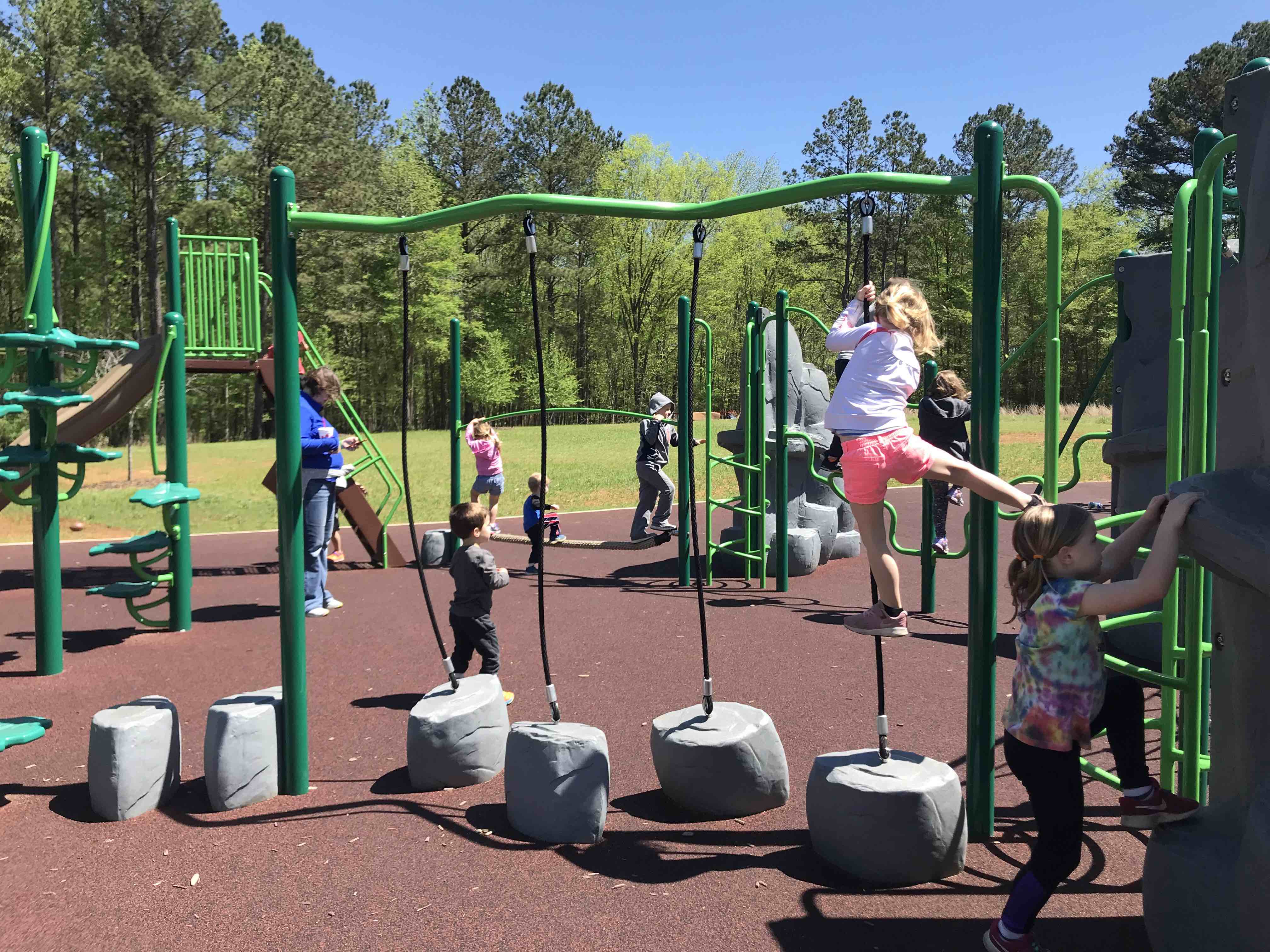
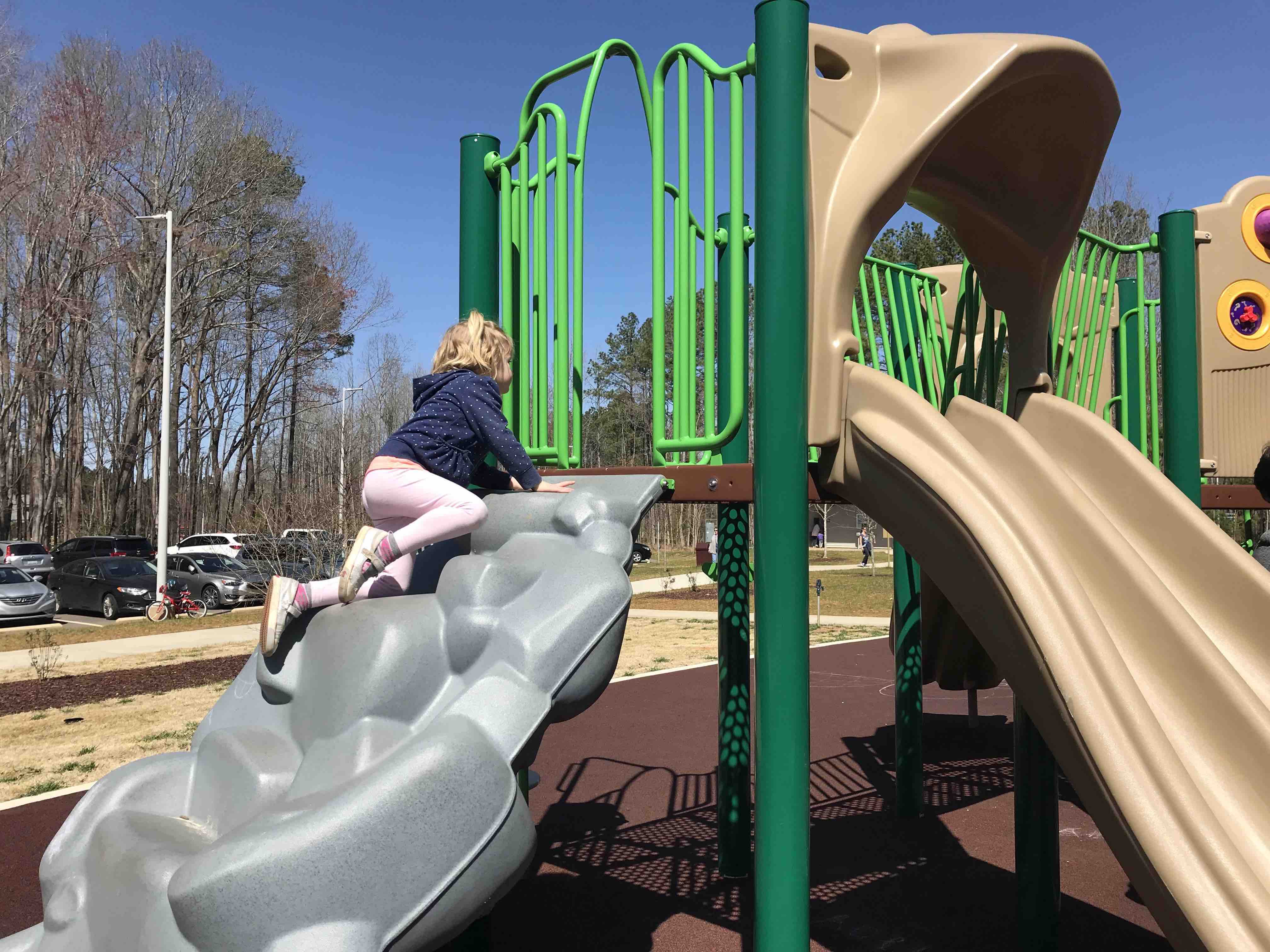
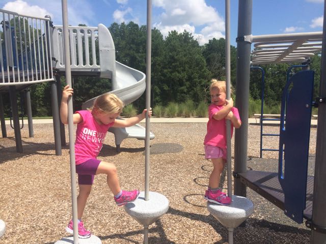
 The playground features two play structures divided by age group and swings for all ages. The younger child playground contains slides, a spiral ladder, and nearby teeter totters. The older child playground contains steeper slides, arched ladders, double “racing” slides, monkey bars and zipline. The kids loved racing each other down the slides and swinging across the monkey bars. The playground’s hardwood mulch surface lessened the monkey bar falls. The original 1840s Stone House, picnic tables and tennis courts are also just a short walk away.


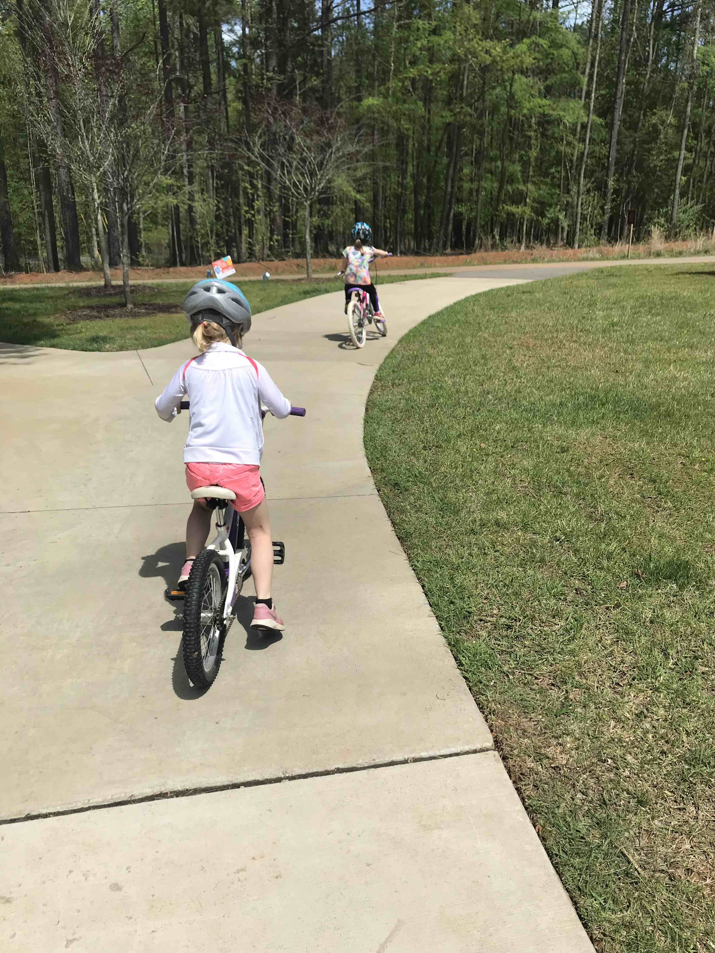
 If you can’t tell by the themes of some of my latest blog posts, biking has been our family’s new passion. Having a bike hitch, bike trailer and at least one child biking on her own really opens up the family bike outings to beyond the driveway or cul-de-sac. Even though Bill is usually the one to strap the bikes onto the hitch and gather all the gear, I’ve made it a point to learn how to do it on my own in hopes that I could take the girls out by myself. Feeling rather confident about strapping all the bikes onto the hitch, remembering all the gear and snacks, I took the girls for a bike ride on Abbotts Creek Trail one summer morning in August.
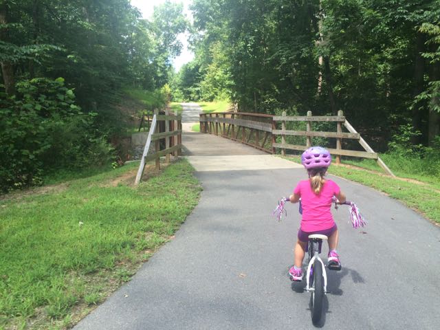 The bike ride back to the car was successful and even a bit adorable as my stop-and-smell-the-flowers daughter took advantage of light greenway traffic with her simultaneous bike ride swaying and singing. Despite the hot weather, the girls made the trip so much fun and were so patient with me as I carefully installed the bike equipment back onto the car.
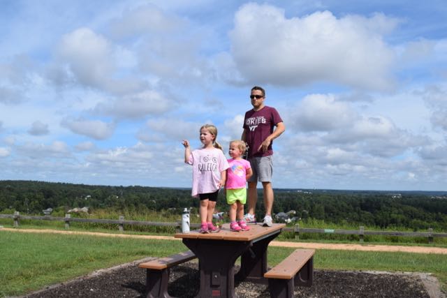 We biked to the bottom of the trail that leads to the top of the landfill, parked our bikes and walked to the top. I’m the only one in our family who has ever been to the top of the landfill, so I was excited to share the views with everyone. The little ones took turns exclaiming their discomfort for walking up the hill, but it’s such a short walk (less than 1/4 mile) that they pushed through it.


 Last summer Bill and I biked by this
 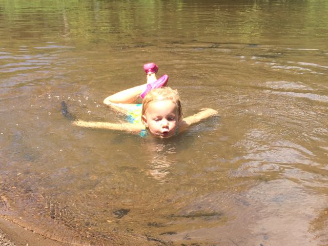 It hadn’t rained recently so the beachy area was actually wider and longer than I’ve seen it at other times and the river flowed slowly. The water was pretty warm except in the middle of the river, which was over our heads in several spots. We didn’t bring life jackets with us and the water wasn’t very clear so the girls mostly played near the shore line looking for tadpoles, playing in the sand/mud, or splashing in the water with the other young family that was there. While we were there a few paddle boarders passed by including a father and young daughter out for a ride (next summer’s bucket list goal).


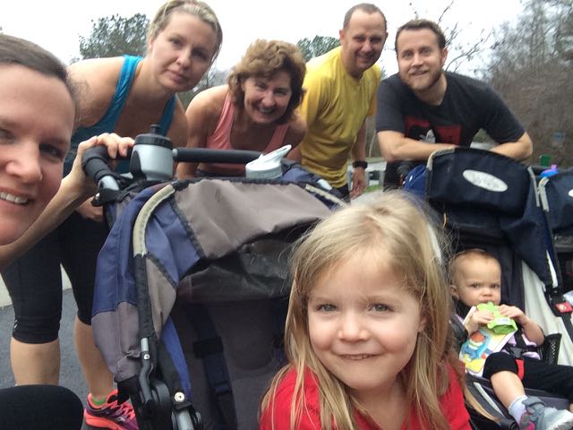 When the weather hovered in the high-70s on Christmas Eve, my family headed to a newly opened section of greenway for some exercise before filling up on holiday libations and rich foods. East Fork Mine Creek is a 2.5 mile north-south paved trail that runs along Mine Creek near Lynn Rd to the north side of Strickland Rd. We drove to one of the entrances of the trail near the intersection of
 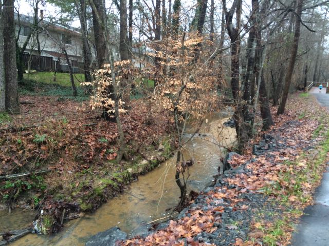 We continued north on the trail until we came to Old Deer Trail, a neighborhood street in the Summerfield subdivision. We crossed over Old Deer Trail and followed the Capital Area Greenway signs as we winded our way through this cute, low-traffic neighborhood. We passed a few other bikers and walkers along the way before coming to Strickland Rd. We crossed Running Cedar Trail, heading east on Strickland Rd where we also passed West Millbrook Middle School and mile marker 2.5, the end of East Fork Mine Creek Rd. At this point of the trail there is a well marked pedestrian crossing area designated for crossing over busy Strickland Rd. My aunt and I opted to head back to the car while the rest of the group crossed Strickland Rd to extend their run on the connecting Honeycutt Creek Trail (more on this hilly trail in a future post).


