Glen Burney Trail (Blowing Rock, NC)

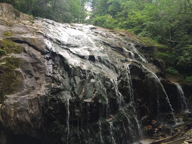
Glen Burney TrailWhile we were in the NC mountains, Bill and I scooted out for a day date hike and beers in Blowing Rock.  We hiked the Glen Burney trail located just off Main St at 229 Laurel Ln in Annie Cannon Gardens.  The Glen Burney Trail is 1.6 miles long (3.2 total miles out/back) and parallels the New Year’s Creek, which eventually flows into the Catawba River Basin.  The trail is unlike others I’ve ever hiked because it starts at 3,920 ft in elevation and drops 600 ft to the base of the falls.

The hike started off moderate as we crossed a few gentle streams and walked along even ground.  Then we hiked by dramatic backyard views of a private home and ruins of a former sewer plant that was in use until 1929.  Soon thereafter, the trail became more strenuous as we crossed large roots, steep hills, and fallen logs.
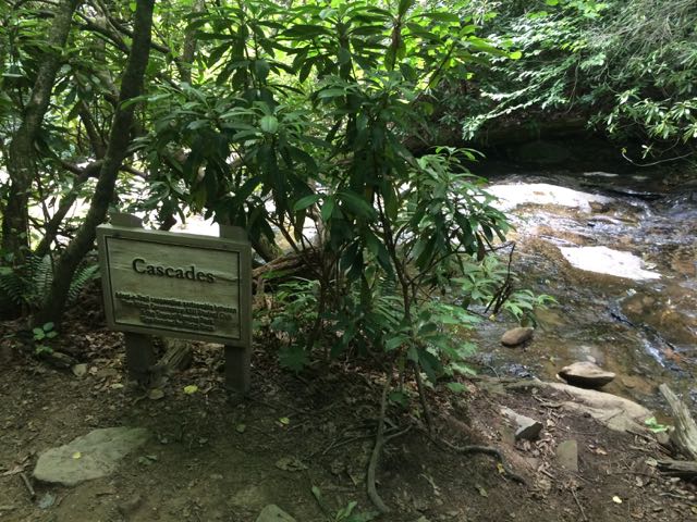
IMG_5763We arrived at the first waterfall, the Cascades, a little past halfway down the trail.  The creek water gently flows over these moderately sloped rocks, allowing hikers to cautiously climb up the rocks to higher ground.  We stopped to take in the sights and sounds before moving farther down the trail. On our next stop we hiked to the base of the trail at Glen Marie Falls.  We climbed up large boulders sandwiched between small streams to get higher views of the mountains in the distance.  Again, we stopped for several minutes to take in the quiet sights and sounds.

After Glen Burney Falls, we started our ascent back up the trail and stopped at the Glen Marie Falls.  We had passed the sign for these falls on the way down the mountain. We hiked a short ways off the trail to the reach the falls, and it was well worth it.  I walked along the creek rocks to enjoy cooling off in the waterfall where water gently flows from a 30+ft boulder.

We then continued our ascent up the mountain, which was much shorter than our hike down; walking down we focused a lot of our time on our footing.  Overall, the hike took about 1 1/2 hours and was strenuous, so we were right to hike this trail without kids.  Judging by the little foot traffic, it’s a hidden gem of a hike even though busy Main St is a few blocks away.  After our hike we wandered around Annie Cannon park, which features several spots for quiet reflection, a small creek, an amphitheater, and beautiful landscaping.

Thumbs up: beautiful views, little foot traffic, easy access to waterfalls, unique hike down and then up

Thumbs down: nothing to report

Blue Ridge Parkway: Moses Cone Memorial Park & Linn Cove Viaduct

IMG_5696We were very fortunate to spend a few weekends in the NC mountains this summer.  On our second mountain trip we met up with my in-laws and stayed in a beautiful mountain cabin near the Appalachian Ski Mountain between Boone and Blowing Rock.  On a tip from friends, we headed out to the Blue Ridge Parkway and visited the Moses Cone Memorial Park & the Linn Cove Viaduct.

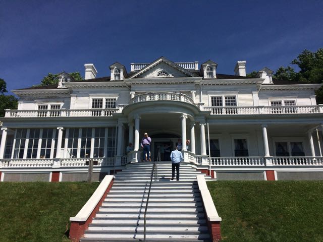
The Moses Cone Memorial Park is located along the Blue Ridge Parkway at MP 294, just a short drive from Blowing Rock.  Moses Cone Memorial Park preserves the country estate of Moses Cone, who was a textile businessman and conservationist in the late 19th century.  The park features 25 miles of hiking and bridle trails and Flat Top Manor, which is a 13,000 sq ft Colonial Style mansion.  The bottom floor of the manor houses the Parkway Craft Center, which features handmade crafts by regional artists and a souvenir shop.  We also had the pleasure of watching a pottery demonstration, which the craft center regularly schedules.

After the pottery demo and catching some breathtaking views outside the manor overlooking Bass Lake, we headed left of the house to walk the Figure 8 trail.  This short 0.7 mile hike is great for families with small children or grandparents as it is well shaded and flat.  Originally created by Moses Cone for his daily walks, this unpaved path meanders in a figure 8 shape through the property, making it a perfect walking trail to explore the variety of trees and flowers.  Informational signs highlight the hickory, oak, maple, mountain laurel and black cherry trees along the trail.  If you’re craving a longer or more strenuous hike, check out the map of trails around the park.

IMG_5732After spending over an hour at the park, we turned left out of Moses Cone Memorial Park and headed 10 miles south to the Linn Cove Viaduct (MP 304).  At an elevation of 4,100 ft, the Linn Cove Viaduct is a concrete bridge engineering marvel snaking around Grandfather Mountain; it is over 1,200 ft long and consists of 153 concrete sections weighing 50 tons each.  Construction of the Linn Cove Viaduct was completed in 1983, cementing the final link of the Blue Ridge Parkway.

Coming from the north, we drove over the viaduct and then turned left into the Linn Cove Viaduct Visitor Center parking lot.  We hiked the short 0.2 mile walk along the Tanawha Trail to the Linn Cove Viaduct observation deck.  Along the short walk we saw several mountain springs and a variety of mountain flora. Walking underneath the viaduct gives you a sense of the bridge’s massiveness – each bridge segment spans several arm-lengths in width, and has enormous amounts of concrete supported by large piers.  We then walked higher up the Tanawha trail to get an eye-level view of the viaduct and mountains in the distance.  Though our trip to the viaduct was quick, everyone in our group (not just the engineers) really enjoyed and appreciated seeing such an engineering feat up close.

Additional Resources:

Thumbs up: beautiful views from Moses Cone Park overlooking downtown Blowing Rock, access to close-up views of viaduct, infinite outside experiences along Blue Ridge Parkway

Thumbs down: manor house in desperate need of painting and renovations, bathroom facilities at Moses Cone Park

Summit Trail: Mount Jefferson State Natural Area

IMG_5612On the way home from our mountain trip in West Jefferson we decided to take advantage of the close proximity to Mount Jefferson and pay a visit.  Mount Jefferson State Natural Area is located just east of US 221 at 1481 Mt Jefferson State Park Rd in West Jefferson (elevation 3000ft).  It lies along the drainage divide between the north and south forks of the New River, which influenced the size and shape of the mountain. Mount Jefferson and its nearby peaks are remnants of a once lofty, mountainous region but weathering and erosion over millions of years wore away the softer, less resistant rocks. The more resistant rocks, amphibolite and metagraywacke of Mount Jefferson, were slower to erode.  The mountain received its name in 1952 in honor of Thomas Jefferson and his father, Peter, who owned land in the area and surveyed the nearby North Carolina-Virginia border in 1749.  In 1956 the mountain became an official state park.

The main access road up the mountain is easy to navigate and offers two beautiful overlooks.  The small parking lot at the top of the mountain provides quick, easy access to the mountain’s trails, large pavilion, and picnic tables.

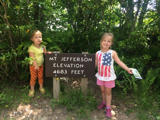
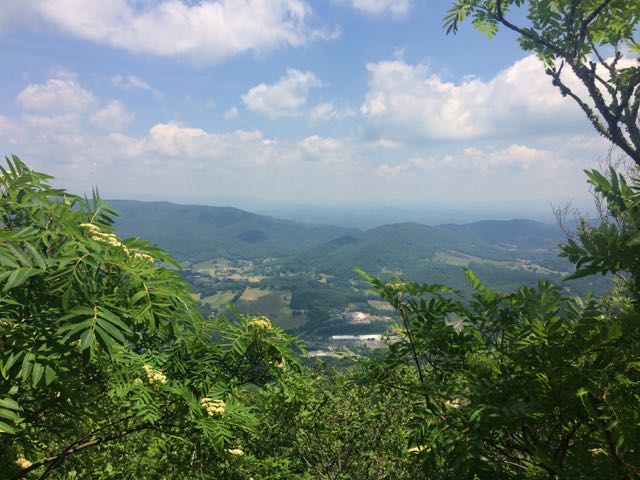
IMG_5615We walked through the picnic area and followed the short Summit Trail (0.3 miles) up the mountain.  Although the website lists this trail as strenuous, we felt it was more on the moderate side.  Due to our haste planning half of us wore flip flops, but could easily walk the gravel trail.  The gravel path is wide and shady giving a cool mountain feel to the hike. Along the way we saw butterflies, rhododendrons, mountain laurel and red-starred flowers; though stop by the park office for official plant and animal checklists. We visited the bathrooms along the way, which were super convenient and an easy walk from the main path.  We passed access to the Kids TRACK trail, which is part of the longer Rhododendron Trail (1.1 miles).  Near the top we turned left to the Mount Jefferson summit, which has an elevation of 4683 feet.  I climbed out a little further to catch the beautiful views of the Blue Ridge Mountains.

Even though this is a smaller state park in size, it offers 5 moderate to strenuous hikes that are great for quick hikes with beginners or young families.  It would also be a great spot for a quick picnic if you’re out and about in West Jefferson or on the way home like we were.

Additional Resources:

Thumbs up: quick, easy access to hiking trails from the parking lot, easier hikes for beginners and families, beautiful views of mountains from Mt Jefferson summit, picnic spots are plentiful

Thumbs down: nothing to report

Canoeing the New River in NC

New RiverLast month good friends invited our family to their mountain cabin along the South Fork of the New River near West Jefferson, NC.  Though this was my first time on this river in NC, being back on the New River reminded me of past trips whitewater rafting through West Virginia or lazily tubing the New River Junction near Blacksburg, VA.  We made those trips before we had kids so it was fun to share this trip with our kids and new friends we’ve met since having kids.

The New River is unique in that it flows south to north and is believed to be one of the oldest rivers in North America, and maybe the world.  This ancient river begins in the mountains near the TN-NC border, flows north through NC, VA and WV where it joins with the Gauley River (I’ve always wanted to raft during the fall release dates) to become the Kanawha River and eventually flows to the Gulf of Mexico via the Ohio & Mississippi Rivers. Portions of the New River in NC flow through different access points to the New River State Park where you can camp, hike, canoe, kayak, fish, or any combination of those.  While we spent a lot of our weekend exploring the private area around the cabin, wading in the family-friendly river, or teaching the kids to kayak, my friend Annie and I got out for a few hours on Saturday afternoon for a relaxing canoe trip.

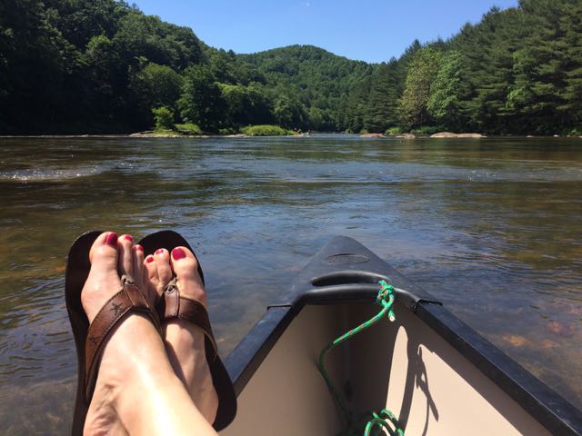
IMG_5566After an exhilarating drive down one-lane gravel roads in an old Chevy truck with a canoe in tow we arrived at a small put-in near the intersection of Dog Creek Rd and Joe Little Rd.  The bank is steep and the pathway to the water is narrow and overgrown on the sides, but it made for a quick water entrance.  Joe Little Rd is a narrow one-wayish road, so use caution when driving.  It was a beautiful day to be on the river so we passed quite a few tubers, kayakers, and fishermen.  The water was pretty brisk, so it felt good to be dry in the canoe.  Along our way we passed Wootens Mill on Dog Creek Rd, which is no longer in service but dates back to the 1770s.  We also passed the Wagoner Access portion of the New River State Park on the south side of the river.  We saw lots of tents set up for weekend camping and canoe put-in areas.

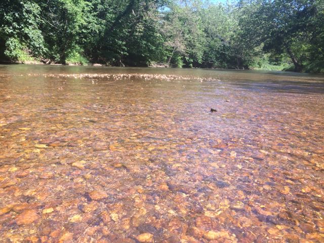
We made a quick pit stop back at the house to refill our cooler before heading further upstream (remember, the river flows south to north).  We made our way over a few mini rapids and shortly passed the River Bend campsite area of the New River State Park that features primitive canoe-in only camping.  With the exception of the flowing water and birds (and our girl talk), the river is void of any other sounds as it snakes through the Blue Ridge Mountains.  After awhile we pulled the canoe out near a shallow rocky area to take a break.  The river rocks feature those smooth, round shapes so we easily laid down in the water to chill.  After a few more minutes of deciding we needed to start a yoga retreat on the river we paddled some more to a popular swimming hole.  We pulled the canoe out near a small island and swam to the large rock to jump into the deep water below.  It was heavenly!

After paddling a bit more we called our ride home as we reached the take-out spot near Absher Rd/Gentry Rd Bridge.  It was late afternoon when we got out, so we had to wait a few minutes before we could pull out the canoe.  With stops, it took us about 3 hours to go about 6 miles on the river. With its gentle, shallow waters and tranquil rapids the South Fork of the New River offers so many family-friendly or beginner adventures.  The river’s beauty is something to experience first-hand and I can’t wait to get back here again!

Additional Resources:

Thumbs up: lots of shallow wading spots for little ones, camping/canoe options at New River State Park, beautiful scenery along river, river’s beauty and tranquility, gentle and mild rapids are great for families and beginners

Thumbs down: nothing to report

Update: Durant Nature Preserve Park

Durant Nature Preserve ParkWith mild weather in the forecast and more nature parks on our mind, we headed to Durant Nature Preserve Park (8305 Camp Durant Rd
in North Raleigh) to attend the Wee Walkers program with friends, play in the natural playground, and explore the butterfly and bird garden.  We’ve attended the Wee Walkers program several times over the years and the girls (and I) always have a great time.  The program is a fun way to get out and explore nature with a knowledgeable guide, the program is FREE and doesn’t require registration (although it helps for their planning purposes), and you learn about and see different animals and parts of the park each trip.

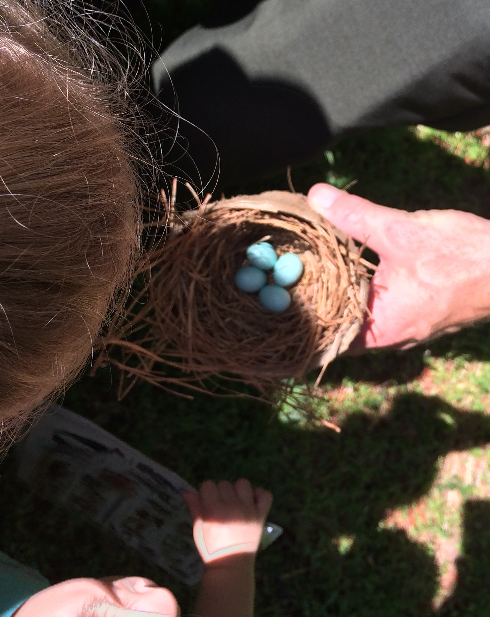
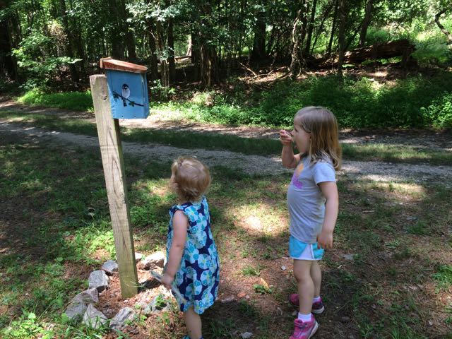
This Wee Walkers program focused on birds and we hiked along the White House Road trail that meanders through the shaded forest on the northern side of the park.  Staff Ranger Jack kept us moving at a steady pace for such a large group while pointing out several flora and fauna along the way: skinks, bluebirds, lots of centipedes, frogs, centipedes, robins, spiders and more.  He spotted eggs in one of the bluebird houses, which was a big hit for all the parents and kids, and he also talked about some of the migratory birds that we’d find in the park.

After the hiking program, the girls played in the natural play area that sits near the painted shed in the north entrance parking lot.  The natural play area features a rock garden, small fish pond surrounded by native plants, fairy house building, bird houses, sandbox, and fort building supplies.  The girls have had so much fun playing in Raleigh’s natural play areas lately that we’ve tried to incorporate several of them in our own backyard with fairy garden building, dinosaur fossils and other small treasures hidden in a dirt box, and a painted rock garden.

IMG_5419Once the girls finished in the natural play area, we walked across the parking lot and open field area to the bird and butterfly garden.  The butterfly garden has a short trail surrounded by natural butterfly habitats of lilac, Queen Anne’s Lace, daylilies, eastern blue star and more.  The butterfly garden leads into the shaded bird garden that features a mulched trail with several feeders, bird houses, and informational guides.  We heard and saw a lot of birds flying in and around the gardens, but my bird identification skills are pretty pathetic – maybe some adult birding classes are in my future!

On our way back to our car we spotted a large doe along the perimeter of the park, so you never know what you’ll see at the park.  The next Wee Walkers program is Thursday, July 7 at 10am and maybe we’ll see you there!

Additional Resources

Thumbs up: guided Wee Walkers program, natural play area, bird and butterfly garden, shaded trails for hot summer days

Thumbs down: nothing to report

Update: Annie Louise Wilkerson Nature Preserve Park

Annie Louise Wilkerson Nature Preserve ParkOn a cloudy summer day we headed to Annie Louise Wilkerson Nature Preserve Park to explore the nature playground and do some light hiking.  It’d been awhile since we’d last visited this park, and now that both girls are becoming more able to hike short distances on their own without losing their minds, it’s been more fun to take them along.  This park is especially great for little ones because all of the hiking trails are short (less than 1 mile each) and several are shaded!

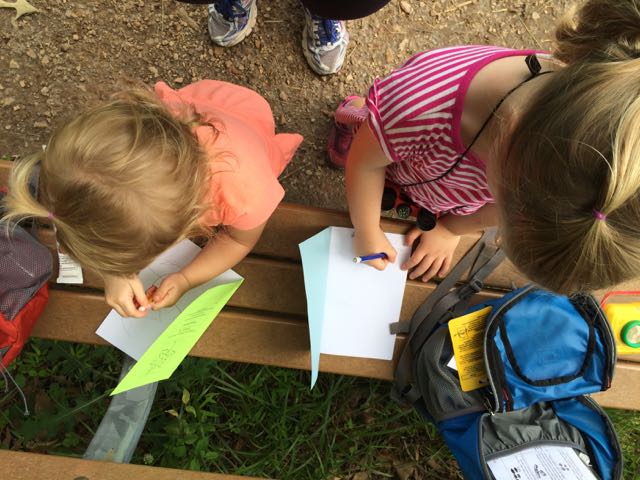
Annie Louise Wilkerson Park is located north of I-540 at 5229 Awls Haven Dr just off Raven Ridge Rd. Upon arriving, we visited the main park office to check out the Explorer Backpacks they lend out to children.  Both girls were super pumped about having their own hiking backpacks to use on the trails.  The friendly park staff showed us everything in the backpacks, which included binoculars, compass, nature journal (to take home), bug collection jars, park maps, and laminated animal/insect ID cards.  After suiting up with the backpacks, we visited with the park turtles outside the park office and then headed towards the pond to walk the 1/2 mile turtle pond trail.  We followed the mowed path and turned left on the trail to head clockwise around the pond.  Along the way, we walked closer to the pond to spot the turtles and have a snack on the bench.  The girls also spent some time drawing in their nature journals. After a quick stop we continued on the loop trail, which meanders through full-sun meadows around the pond.  The girls enjoyed seeing the wildflowers along the way and were impressed that the grasses on both sides of the trail are almost as tall as they are!

IMG_5356After our short hike we walked through Dr. Wilkerson’s former home, which has been renovated into an Education Center for the purpose of being a nature park research center.  The front room is a mini museum of Dr. Wilkerson, highlighting her career and time she spent on the farm.  We didn’t visit the other parts of the center, but the COR website notes it has science labs, classrooms, and kitchen area.  The girls also enjoyed playing with the working old well pump outside the center.

Then we headed back towards the front of the park and played in the natural play area, adjacent to the bathrooms and pavilion.  The full-sun play area features a teepee, natural twig tunnel, stump stepping area, and tall grasses.  Just down from the full-sun play area is a continuation of the natural play area in the wooded area featuring a large sand box, bamboo sticks for building, bamboo chin-up bar, sticks and dirt for miles, fairy house supplies, and short fairy and troll trails through the woods.  The girls went nuts for the fairy and troll trails and loved walking the trails and trying to find the next “fairy or troll” character or house along the way.  The trails are short, narrow paths through the lush green forest.  After walking the trails the girls proceeded to make fairy houses on their own for over an hour. It was one blissful hour where a 5 year old and an almost 3 year old played together and on their own with ZERO fighting.  I felt like I hit the jackpot! I just sat back on the bench or in the sandbox and watched their little minds work – asking each other for help, digging through sand and dirt to find fairy house supplies, exploring the trails for ideas.  They created and it was so much fun to watch.

We had so much fun creating fairy houses at the park that we also went to Michaels craft store to buy our own supplies and purchased the Fairy Gardening: Create Your Own Magical Miniature Garden for decorating ideas. We spent the next day at home building and designing our own fairy gardens, which was a lot of fun! Visiting Annie Louise Wilkerson Park really helped transition us from preschool to summer and I’ll always remember the fun memories we made that morning at the park!  We didn’t even have time to explore the free activities inside the park office, which we’ll plan to do for another day!

Additional Resources:

Thumbs up: short hiking trails great for preschoolers, friendly park staff, shaded nature playground, convenient outdoor bathrooms, Explorer Backpack lending program, enchanting fairy/troll trails and houses

Thumbs down: shorter weekend park hours

Robertson Millpond Preserve

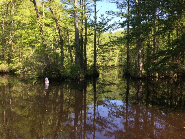
Robertson Millpond PreserveOne Sunday at the end of April we headed out to Wake County’s newest park, Robertson Millpond Preserve for some fishing.  Not knowing what to expect from this new park, we quickly discovered that Robertson Millpond Preserve is a local natural refuge for recreation and relaxation.   Its main attraction is the blackwater cypress-gum swamp, making you feel transported to the lowcountry!

Robertson Millpond Preserve is an 85-acre park located 25 minutes outside of Raleigh at 6333 Robertson Pond Road in Wendell, NC.  The millpond dam was created in the 1820s when the Avera family owned and operated a 600-acre farm and gristmill on the property.  They lived in a federal-style home, which they re-located to a new site on Robertson Pond Rd that still exists today.  The Robertson family, for which the pond and road are named for, bought the land in the late 1800s/early 1900s and probably operated the mill until the 1940s.  After the mill stopped operating in the 1950s, recreational fishing and boating became the focal point.  Decades later, the mill was removed, and in 2013 the land was purchased through the Wake County Open Space Program and the park opened in late October 2015.

IMG_4859This particular Sunday we enjoyed the park all to ourselves for several hours.  We explored the boat ramp (only non-motorized boats are allowed) down to the pond where we heard and saw a variety of birds and insects.  Sitting on the boat dock, we gawked over the large cypress trees that envelope the pond.  The park staff have installed numbered buoys in the water to created a 1/2 mile paddling trail through the pond.  Since our visit, Paddle Creek has started offering hourly kayak rentals on Saturdays only at the pond.

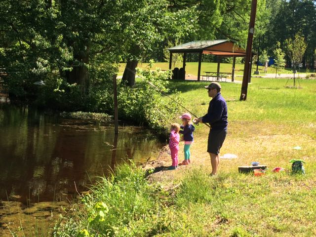
Then we walked over to the small shore area to set up for fishing.  Before heading out that morning, the girls and I collected live worms from our backyard for bait, but our bait didn’t stand a chance.  Bill and the girls had a few nibbles and saw some tadpoles, but this morning was more about just having fun, which everyone did!  After fishing we walked closer to the dam, which is about 20 yards wide and sits in front of Robertson Pond Road.  You can’t get very close to the dam, but the sounds are amazing and future projects include adding a short boardwalk and an interpretive display near the mill’s old foundation.

In addition to the pond’s recreational activities, the park also features a picnic shelter, open space area and nonpotable water station for cleaning your boat.  After this past weekend’s canoeing and kayaking adventures down the New River in West Jefferson, NC, I can’t wait to return on a Saturday and take the girls kayaking!

Additional Resources

Thumbs up: gorgeous views, boating options, preservation of pond and history of area, on-site station for cleaning your boat

Thumbs down: lack of weekday hours

Campfires & Fireflies in the Parks

campfire
S’mores with cousins last summer

Several of my summer memories growing up involved sitting around campfires and chasing down fireflies in the backyard.  Here are some great upcoming programs going on in the Greater Triangle area and beyond that involve either a campfire or firefly fun!  Bring your family, neighbors and friends and explore the outdoors at night!

Firefly Watch at Prairie Ridge Ecostation (Saturday, June 4, 8-9:30pm) – Collect and observe fireflies while learning more about the dwindling firefly population, ages 8+, FREE but pre-registration is required – please contact Chris Goforth at chris.goforth@naturalsciences.org or 919.707.8882.

Crowder by Night at Crowder District Park (Friday, June 10, 7-8pm) – explore the park by night with campfire s’mores, animal observations, and nature stories, Wake County course #5693, $3/person or $5/family, all ages

Fun with Fireflies at Durant Nature Preserve (Friday, June 10, 8-9pm) – Make a firefly catcher and see the fireflies up close, ages 5+, City of Raleigh course #188956, $2, adult must register and accompany children

Centennial Campfire Celebration at Chimney Rock State Park (Saturday, June 11, 12-1:30pm) – Celebrate National Get Outdoors Day with a campfire, hotdogs, and some Cherokee Native American stories, cost is the admission into the state park

Campfire Cooking at Goose Creek State Park (Friday, June 17 at 5pm) – Savor a meal cooked over the campfire, call to pre-register (252) 923-2191, meet at Campground Amphitheater, all ages

Yates by Night: Summer Tales at Historic Yates Mill County Park (Friday, June 17, 7:30-9pm) –  Hear some tall tales then share a few stories of your own while roasting s’mores around the campfire, Wake County course #5736, ages 6+, $3/person or $5/family

Firefly Hike at Pilot Mountain State Park (Saturday, June 11 or June 18 9-10pm) – Meet at the campground amphitheater for an easy walk around the amphitheater to look for and learn about the unique natural history of fireflies, meet at Family Campground area

Storytime by the Campfire at Falls Lake State Recreation Park (Saturday, June 25 at 7pm) – Join a park ranger for a reading of Dr. Seuss’ classic, “The Lorax”, discuss what it means to be a steward and roast marshmallows, meet at Holly Point Amphitheater

2016 Summer Bucket List

IMG_5057Our neighborhood pool opened, another year of preschool finished up (including Claire’s first year and Ashley’s final year) and we had kindergarten orientation this week! Phew…it’s been a busy week, but that also means it’s time to switch gears and think summer activities!  While we were able to cross a lot off our bucket list goals from last summer, we have some of the same goals and some lofty new goals this summer.  With help from little ones, here’s my mostly kiddo-friendly summer bucket list for 2016.

  1. Visit the library
  2. Build a backyard water wall (Bill will looooove this)
  3. Visit a recreational lake
  4. Visit a farm
  5. Enjoy a bushel of crabs
  6. Visit the rivah
  7. Go to the beach
  8. Use my smoker
  9. Make pizza with ingredients from our pizza garden
  10. Explore a new brewery
  11. Visit the Durham farmer’s market
  12. Take a boat ride
  13. Visit CA
  14. Go to Frankie’s Fun Park
  15. Make ice cream sandwich brownies
  16. Wash the car
  17. Have a water balloon fight
  18. Watch an outdoor movie
  19. Go backyard camping
  20. Stay in our pjs at least until noon
  21. Go to Blacksburg
  22. Read books in the backyard
  23. Play with the sprinkler in the backyard
  24. Have a backyard breakfast picnic
  25. Paint on the easel outside
  26. Make garden tiles
  27. Catch lightning bugs

Next fall brings a new chapter in our lives with all-day kindergarten, so I’m looking forward to making great summer memories and having photos to cherish, so #bringonsummer!

Dorothea Dix Park

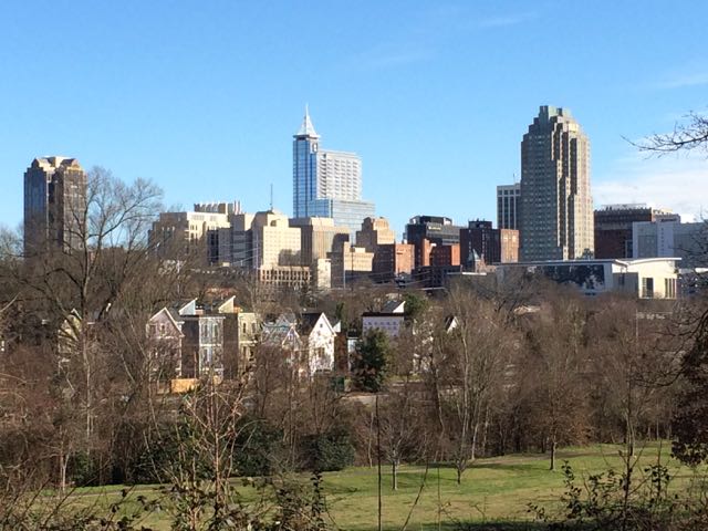
View of downtown from Dorothea Dix ParkWhile reading this past weekend’s N&O article about the guided tours at Dorothea Dix Park, I was reminded that I never wrote about our visit to this soon-to-be developed park from earlier this year.  Dorothea Dix Park is over 300 acres of land sandwiched between the State Farmers Market and Western Blvd.  The City of Raleigh bought the land from the state last year after several year’s effort with plans to eventually make it a destination park.

The land housed Dorothea Dix Hospital for the mentally ill from 1856 until 2012.  The hospital was named for Dorothea Lynde Dix, a Maine native who tirelessly advocated for greater care and reform for mentally ill patients.  She also served as superintendent of Army nurses for the Union in the Civil War.  Today, much of the property is under lease, and many buildings are occupied by the NC Department of Health and Human Services.

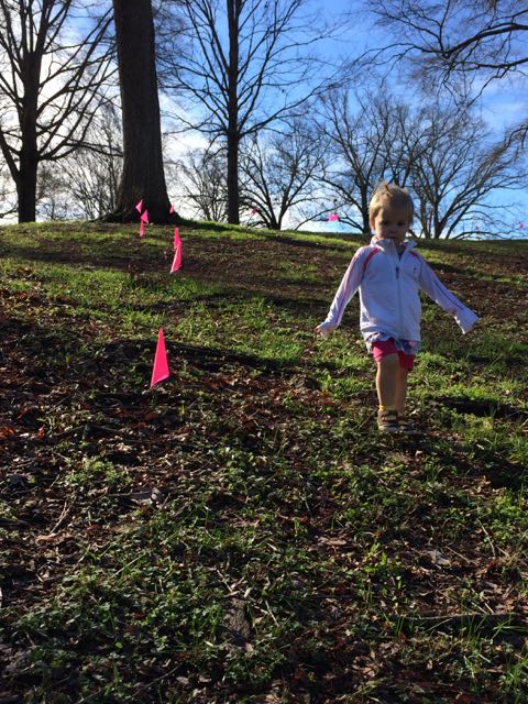
IMG_3794We originally visited Dorothea Dix Park in late January after reading about the thousands of pink flags Matt Tomasulo (of Walk [Your City]) and other volunteers planted (read more about that here), creating small trails throughout the park to encourage folks to get out and explore the city’s newly acquired land.  Even though the flags have since been taken down, it gave us a means to get out and explore the area by foot.

We parked in a small parking lot near the intersection of Smithwick Dr and Umstead Dr and walked across the street using the little pink flags as our guide.  We mostly explored the area bordered by S Boylan Ave, Umstead Dr and Rocky Branch Trail which features century-old oak trees, rolling hills, and flatter land by Rocky Branch Trail.  The rolling hills provide amazing views of downtown Raleigh and interesting tests of little ones’ gross motor skills.  The girls had a great time flying down the hills and slowly coming back up.  We also flew our kites and drew with sidewalk chalk in the sparsely wooded area in front of Picot Dr.  We watched as another park patron was racing his drone around a self-made course through the trees.

IMG_3806According to the N&O’s article, the City of Raleigh is in the very early stages of park planning where they are now accepting applications for a committee of members to help design and engage the public in the park’s planning. The City of Raleigh is also offering free guided tours of the park (looks like they’re sold out) and is partnering with the Dix Park Conservancy to offer programs throughout the summer.

Even if you can’t make it to a guided tour or program, get out and explore the park on your own – bring a picnic, fly a kite, or kick a ball around. The park is open daily from dawn to dusk and there aren’t any public restrooms. The park’s potential is the perfect crossroads of nature, city and history – it’ll be interesting to see how things develop over the years!

Additional Resources

Thumbs up: beautiful rolling hills, views into downtown Raleigh, history of land, great picnic spots, destination park potential

Thumbs down: too early to tell 😉