
 Back in June, my sister and niece visited the same weekend we planned a trip to Jack Smith Park with our Raleigh Jaycee friends. Jack Smith Park is located at 9725 Penny Rd and opened towards the end of last summer. If you’re looking for a one-stop shop for outdoor fun, this is the park!
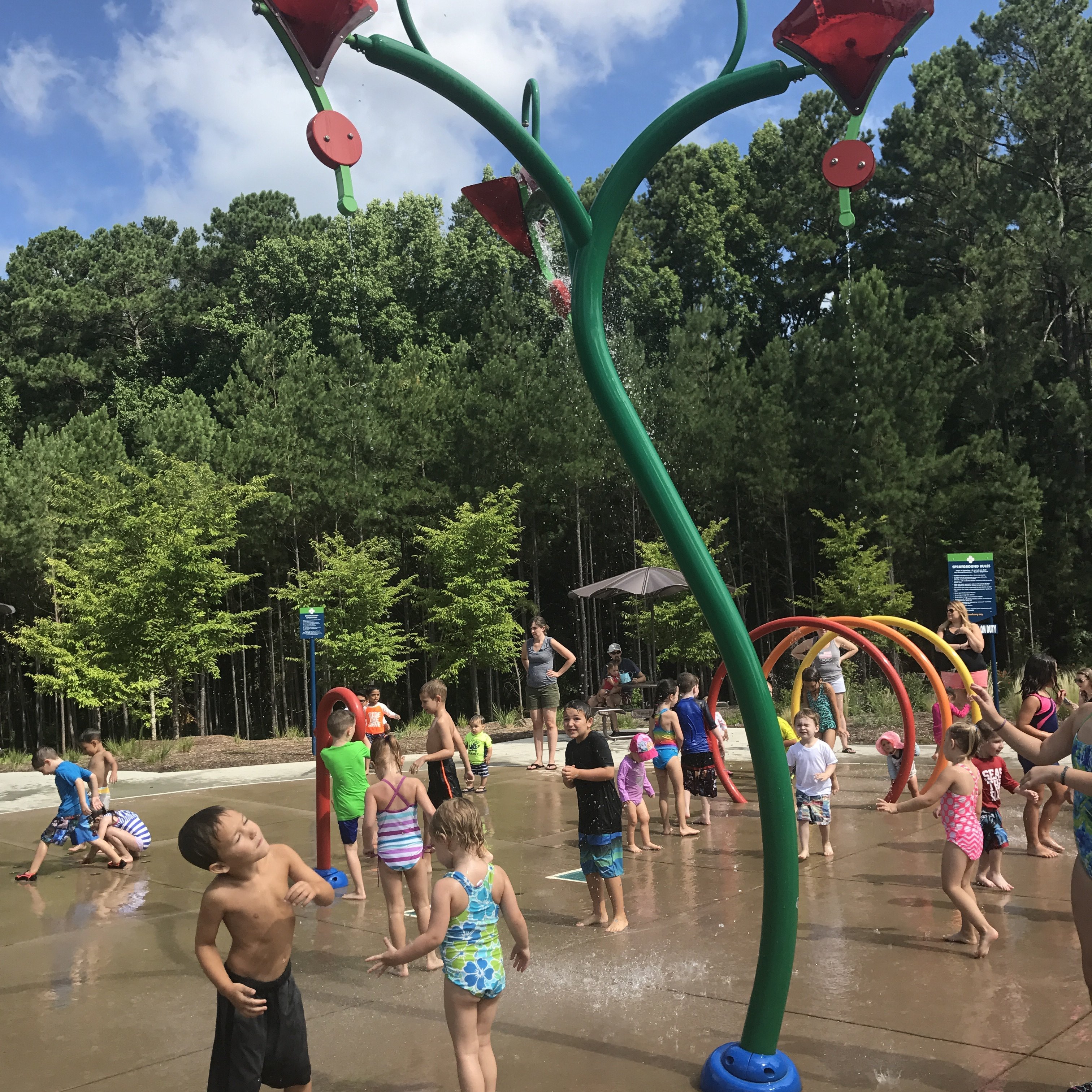
Jack Smith Park features a splash pad, multiple playgrounds for all ages, a rock climbing structure, walking trails, and a dog park. We arrived at the park at 10am when the splash pad opened. Luckily, some friends saved a table under the pavilion for our group to stash our gear while out playing. The splash pad features tall buckets that dump, gentle water fountains, circular misting fountains, and maneuverable water guns. Picnic tables with umbrellas, clean restroom facilities, large pavilion, and half-walls for sitting are adjacent to the splash pad.
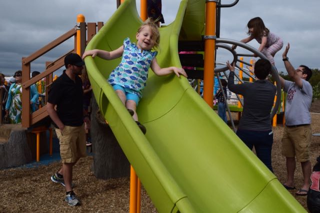
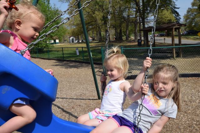
After my kids tired of the splash pad they played on the playground areas and rock climbing structure. The smaller kid playground features several slides, a small rock climbing wall, sails for shade, and a curved climbing ladder. The bigger kid playground features a tall spider web climbing net, challenging curved climbing ladders, gyro spinners, slides, and stepping stones. The regular swings, baby swings, and tire swing are located near the perimeter of the park. When I wasn’t poking my head around parents and play things to keep an eye on the girls, I was pushing the girls on the tire swing. Boy, do they LOVE a tire swing!
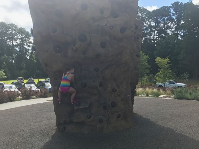
And, my oldest daughter loves rock climbing! She’s pretty fearless and persistent, and loves the challenge that rock climbing presents. The park’s rock climbing structure is at the far end of the park. Large natural rocks surround the structure which sits upon a rubbery surface. She tried multiple times to climb the hardest section of the rock before trying her hand at the flatter sides. Though she didn’t climb up very far, she enjoyed climbing alongside the bigger kids.
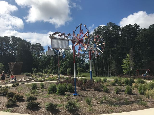
The Town of Cary parks always impress me with their attention to landscaping, public art, and availability of public restrooms. Young trees surrounded by half-walls create nice sitting areas for parents. The park features several ornamental grasses, flowering shrubs, and a large open grassy field down from the playground. Many benches and shaded picnic tables also scatter the perimeter. Vollis Simpson’s folksy art sculptures take center stage as you park near the playground. Finally, the restrooms are very clean and roomy, and have water fountains and a nearby hand shower for spraying off the treated water.
Despite being super busy on a weekend morning, I look forward to bringing the girls back here one day. Splash pads offer a quick water alternative to cooling off in the pool. And, with so many other activities at this park, it makes for many fun-filled hours!
Thumbs up: one-stop shop for fun, rock climbing structure, mixing water play with dry activities, outdoor art, natural climbing rocks, nice landscaping, lots of seating options
Thumbs down: very crowded, can be difficult to manage multiple small kids


 For our next Winnie adventure we headed to the beautiful Blue Ridge Mountains near Marion, NC. We stayed at the
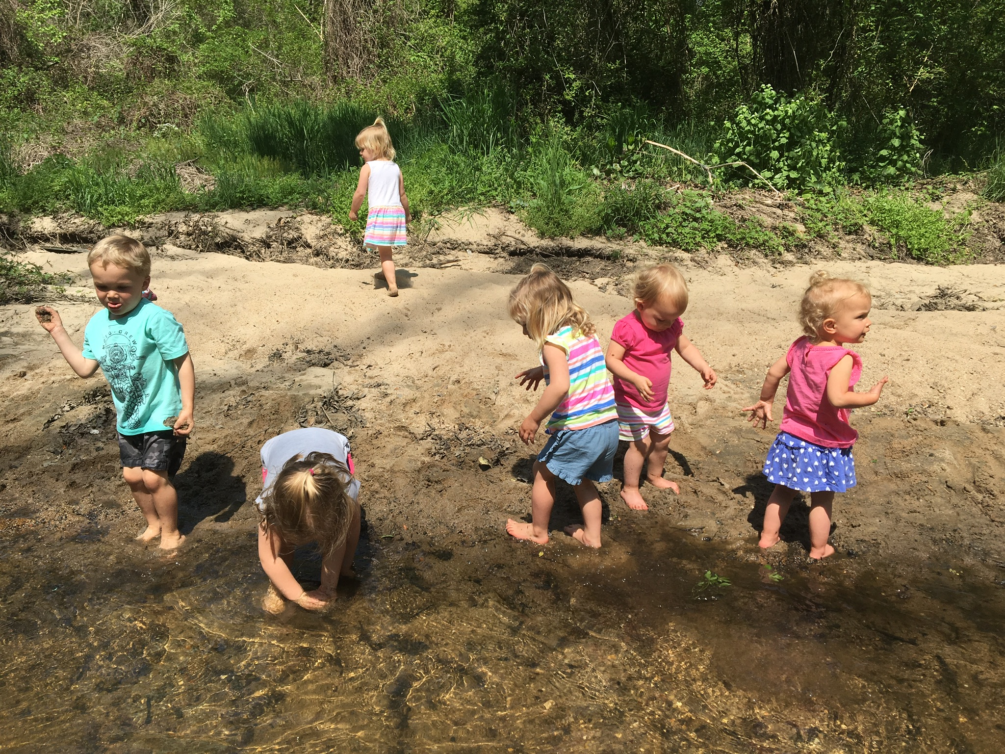
 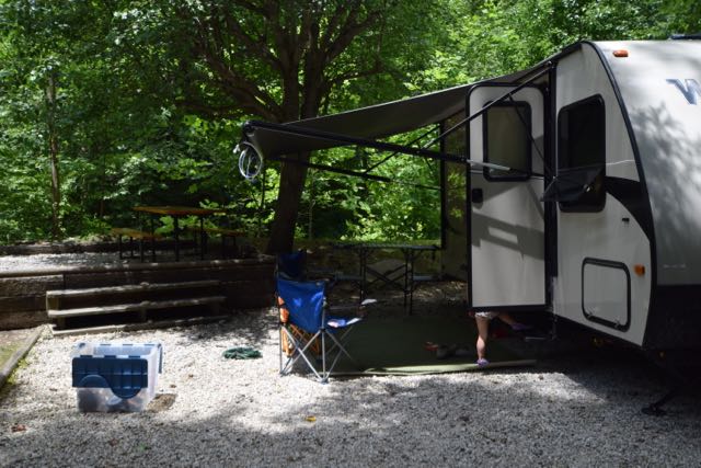 The Mountain Stream RV Resort was the perfect spot for camping. They have 40 camp sites situated around a loop gravel road with a grassy median. A cool, clear mountain stream runs behind more than half of the campsites. We stayed in one of their prime spots near the back of the campsite with easy kid-friendly access to the stream. We loved splashing in the water, walking upstream, and sitting at the campsite listening to the babbling stream.
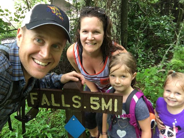
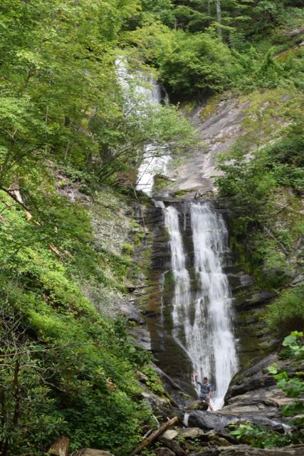 We spent all day Saturday hiking waterfalls in the Pisgah National Forest and exploring interesting places off the Blue Ridge Parkway. First, we explored the Tom’s Creek Falls, located about 20 minutes northeast of our campsite. Tom’s Creek Falls trailhead is about 1.3 miles from the
 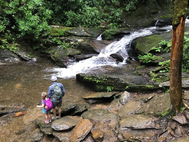 After leaving Tom’s Creek Falls, we drove about 45 minutes northwest to the Roaring Fork Falls trailhead. Roaring Fork Falls trailhead is located near the


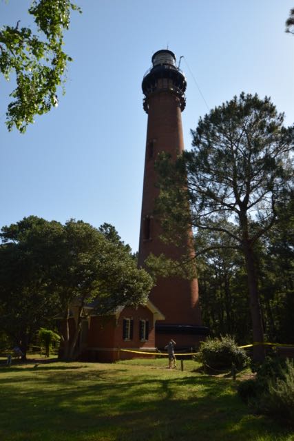 After school let out for the summer we headed with friends to Duck, NC for the weekend. The Town of Duck is located on the northern section of the Outer Banks mainland, not far (physically) from the Virginia border. We wanted to take advantage of staying in the northern Outer Banks, so we explored the Currituck Beach Lighthouse one morning.
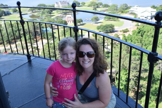 Climbing the Lighthouse


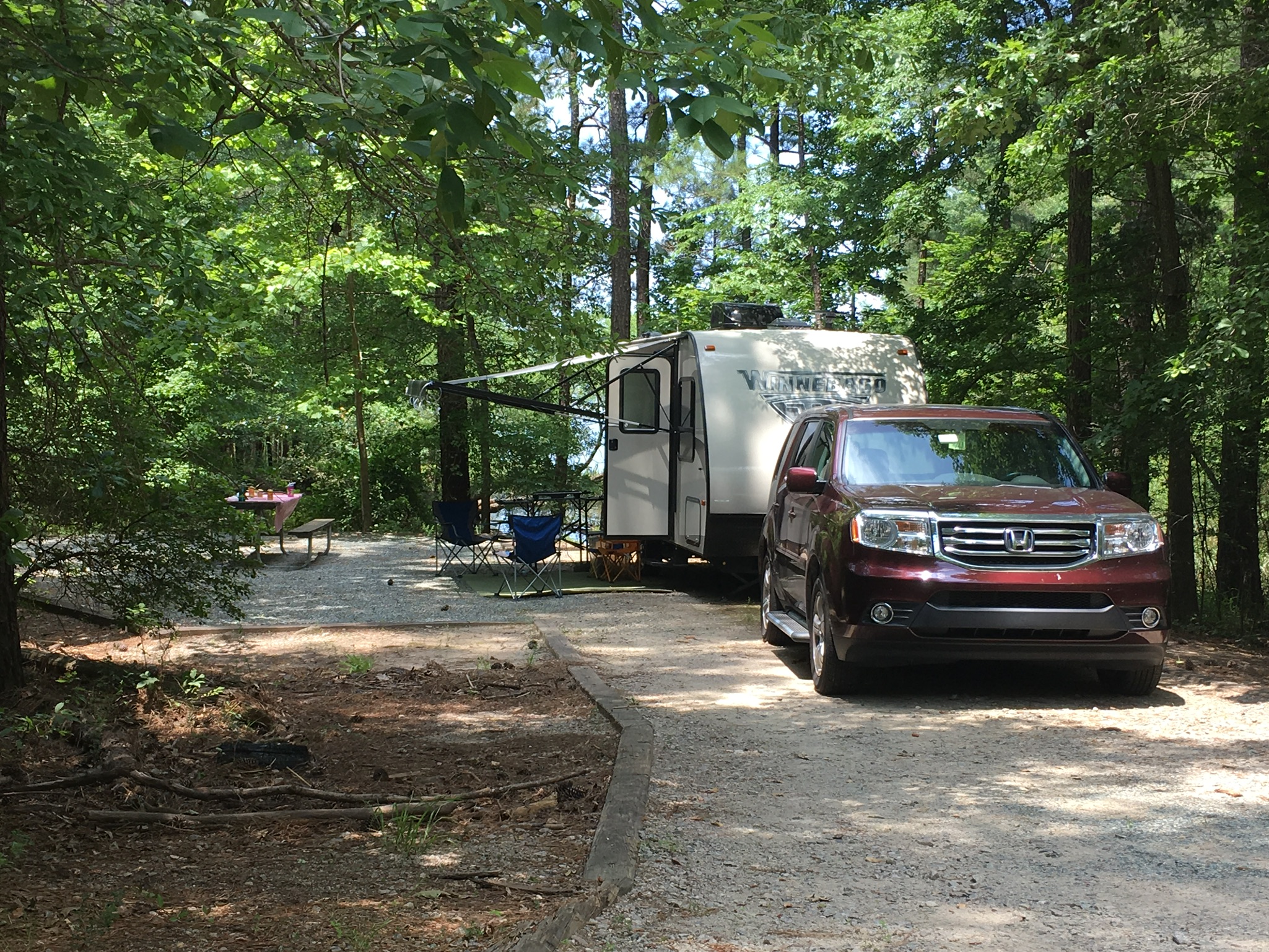
 Our partially shaded campsite featured a flat gravel pad, picnic table and grill. There’s a short walk to the water, which we were hoping to use for fishing access, but unfortunately there was more poison ivy than we wanted to dodge. We found another access to the water, but the low-lying trees made casting difficult for the girls. Surprisingly, we didn’t have any neighbors during our entire stay. Though the girls were sad because they couldn’t play with new friends, it also meant they could run around like maniacs without worrying about traffic.
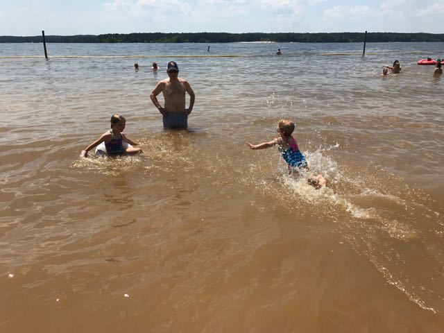 After lunch we headed to the recreation area to cool off in the beach. The recreation area at Loop E features a large sandy shoreline with designated swimming area. The water was refreshing and the boats racing by made fun waves for the girls. The girls loved catching the waves with their inner tubes and building sand castles on the shore. They enjoyed racing into the water and diving into the calm water. Even though the water was a little murky, they didn’t seem to mind.
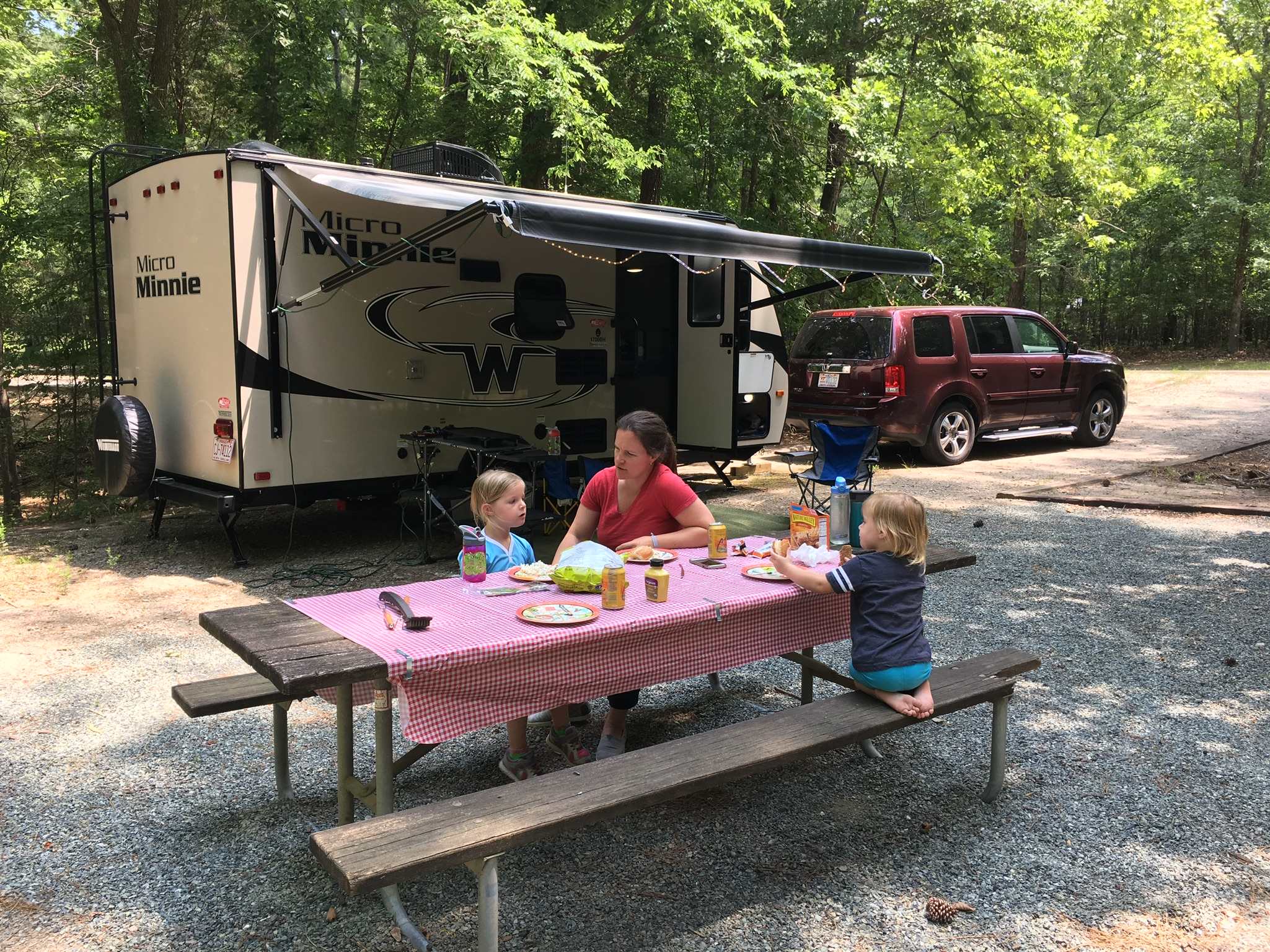
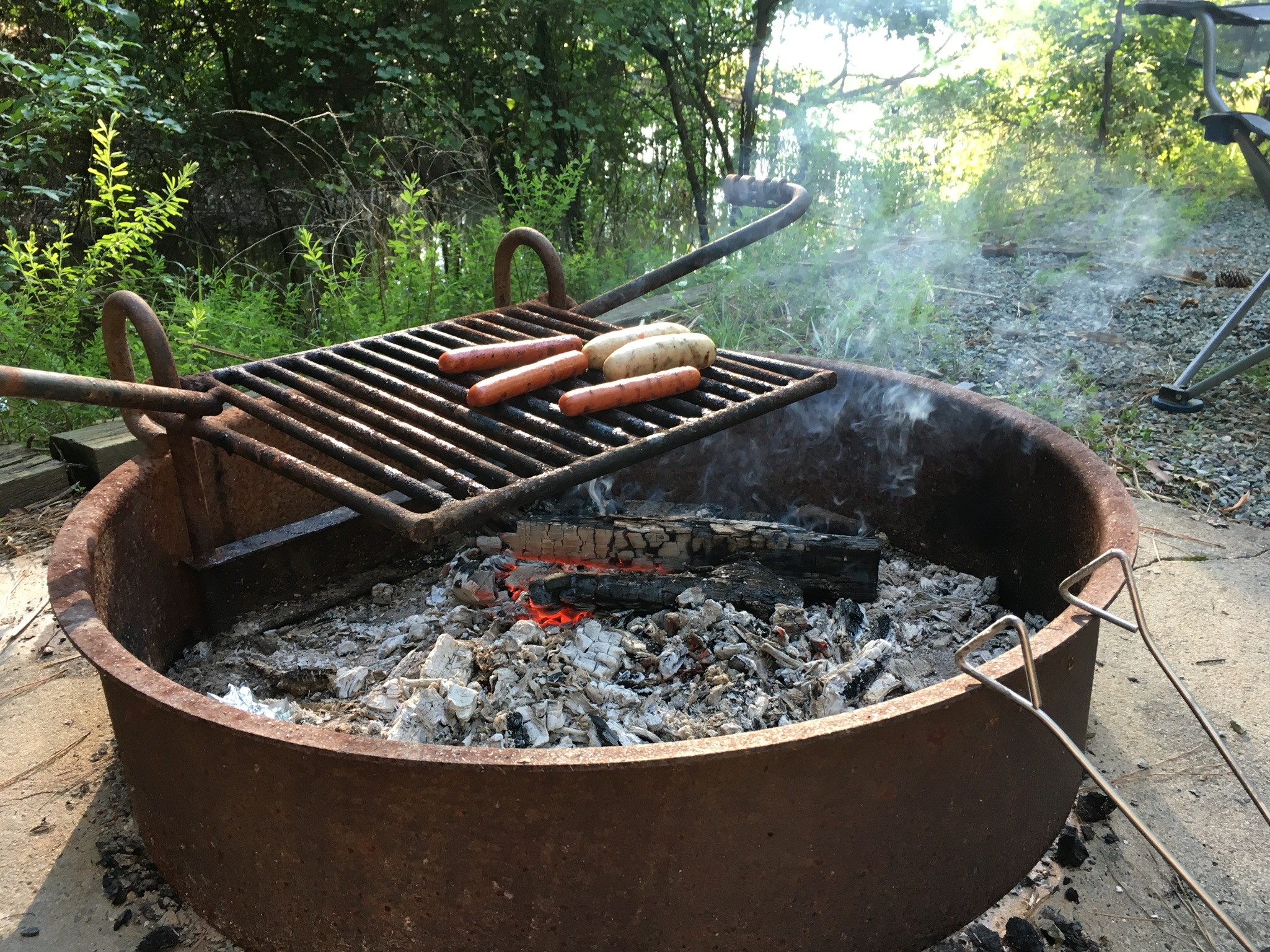 After playing at the beach we headed back to our campsite for showers and dinner prep. The girls helped shuck corn for grilling on the fire pit while I made mac n cheese on the trailer range. We grilled chicken sausages, corn on the cob, hot dogs and cinnamon sugar filled apples for dessert.


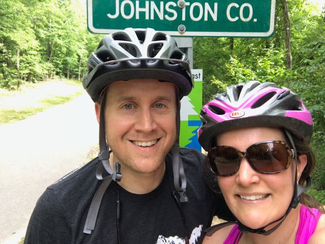 Over Memorial Day weekend, my sweet in-laws watched the girls while Bill and I enjoyed a biking and beers day date. Wanting to explore a new (to us) portion of the greenway, we headed to the southern portion of the Neuse River Trail near the Wake/Johnston County border. In all, we biked 15-miles (out and back total), crossed two counties, followed a river, detoured around an unpassable bridge, passed a historic bridge, and saw some art before grabbing beers at Deep River Brewing – a pretty awesome afternoon!
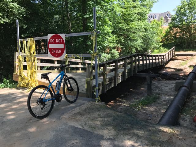 Continuing on Clayton’s greenway (technically called Clayton River Walk on the Neuse), we arrived at the Riverwood neighborhood where we found the bridge damaged and unpassable. At the time we didn’t see signage showing a detour route so I jumped onto the Town of Clayton website. I learned that last fall’s Hurricane Matthew caused near record flood levels for the Neuse River and took out the bridge. The town’s website shows a
 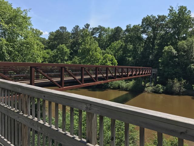 After biking the hilly detour through the neighborhood we met up with the trail and continued south. The trail remains mostly flat and sunny with clear views of the river. We passed a large sandy access spot for the river, complete with benches. Then, we biked under Covered Bridge Rd with a history that dates back to 1863 when it was first commissioned as a ferry replacement. Historians believe the bridge was covered around 1883 and most recently replaced in its current concrete form in 1980.
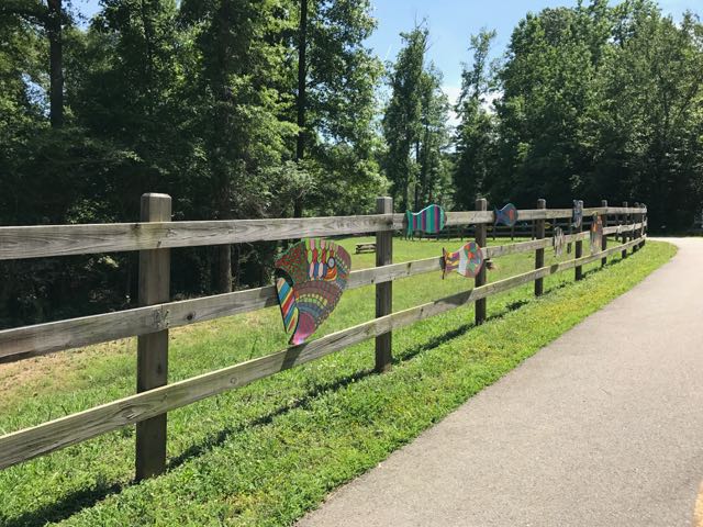 After safely maneuvering through the sand and dirt construction zone, the 1.25-mile paved trail leads away from the river towards North O’Neil St. Along the way we passed beautiful community art displays of hand-painted wooden fish. Then we biked by a public art garden featuring butterfly-shaped bike racks, benches, totem pole and a little free library. The trail also showcases information signs about forest animals in the area before passing a developing neighborhood and ending at a large greenway access parking lot at


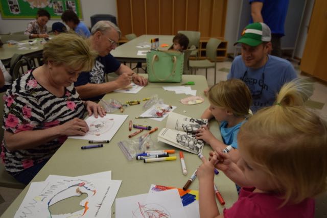 Over Memorial Day weekend, my in-laws visited from Maryland. Wanting to find something new to explore that is appropriate for both older and younger people, I researched the upcoming
 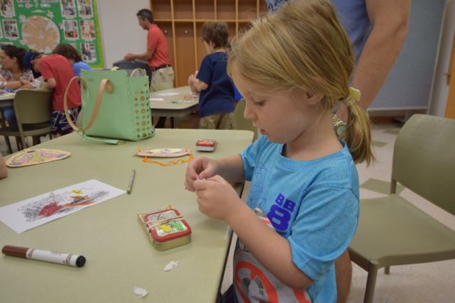 The instructor started the class with a coloring activity as the participants arrived. We colored paper animal masks of characters Badger, Toad and Otter from the book. Then, we constructed our masks with either popsicle sticks or string. After the coloring activity, the instructor presented material about the mill’s history and different types of energy. She catered the presentation to all age groups and made it especially interactive for the young ones. Next, the instructor walked us through creating a boat from an Altoid box and powered by stored-up rubber band energy. She related the craft to the energy lesson and also read from The Wind in the Willows story.
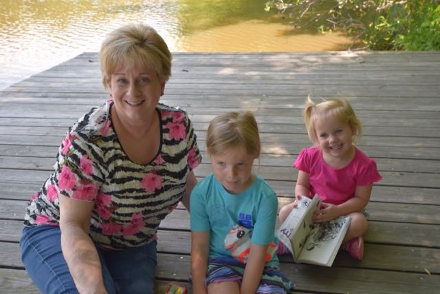 After everyone finished making their boats, we headed outside to the docks to launch our boats. Sure enough, our wound-up rubber bands caused the plastic paddles to propel the boats a few feet into the water. The instructor came prepared with a net to scoop up the boats so the kids could try again. The entire program was a perfect combination of creating, science, and hands-on experimenting for this age group.


 In May, we travelled to Nags Head for our annual trip with friends (and family this year, too) to run the Nags Head Preserve Yuengling 5k race. This year the race weekend coincided with the grand opening of Dowdy Park, located at the intersection of
 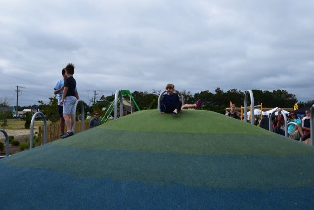 Dowdy Park features several play areas where kids can jump, run, swing, climb and slide until their hearts are content! The older kid playground has wide wheelchair-accessible ramps to musical and periscope play items. The ramp connects to stairs for climbing higher along a net bridge or to the ground via a rock wall. The other side of the net bridge features challenging ladders, a climbing tree stump and a fast, twisty slide. A colorful climbing hill with curved bars, musical instruments, balance beams, surfboards, bench swing, and merry-go-round are also located nearby. With the large festival and park attendance, it was overwhelming to keep track of multiple kids bouncing between so many activities.
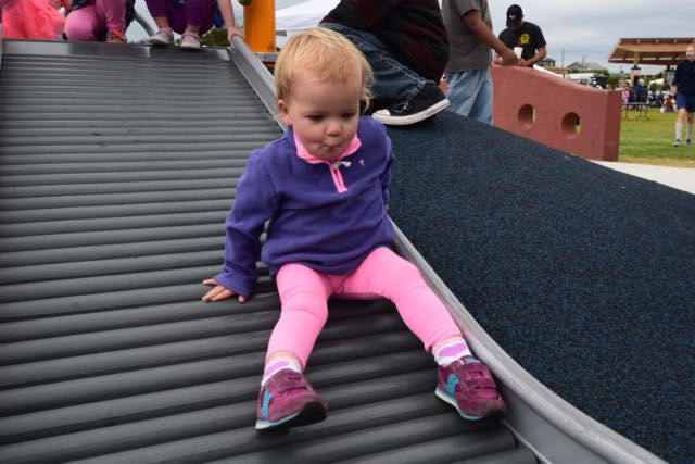 The smaller kid playground features short steps up to ramps connected to a double slide. All the kids thoroughly enjoyed the nearby rolling slide. They loved making rattling noises as they slid down the bumpy slide. Across from the small kid playground is a wheelchair-accessible ride. It allows folks in wheelchairs to reverse their chair onto a ramp and swing. And, a playground near the beach wouldn’t be complete without a little sand – just follow the sea turtle flipper prints! Short pier pilings line the sandbox area, which has a large climbing sea turtle in the middle.
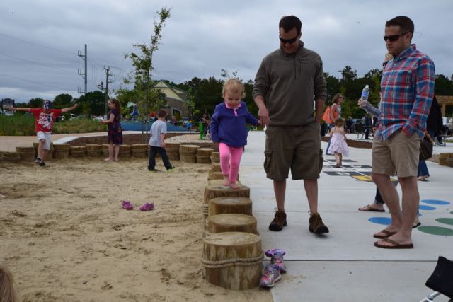 Also near this area are hopscotch and twister games, checkers tables, another climbing hill, picnic tables and benches. On this particular day vendors lined the perimeter of the open green space area. Park-goers filled the open green space area watching the performances under the covered pavilion. Throughout the park you’ll find pieces of art, such as the nautilus stamps shells, temporary art pole exhibit, and wooden paintings. Even though Dare County is mostly known for its beaches, I’ve always been impressed with the


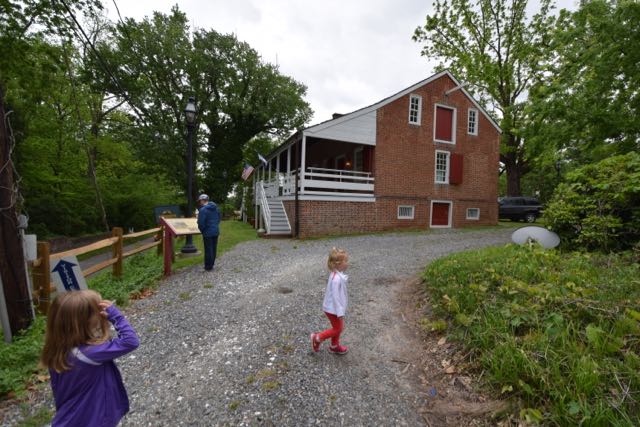
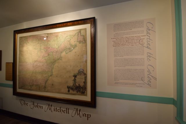 The friendly museum worker shared her personal upbringing in Urbanna and the importance of the 1755 John Mitchell Map. John Mitchell was born in 1711 in Lancaster County, and went on to study medicine in Scotland. He practiced medicine in the Urbanna area for a few years before relocating to London. According to
 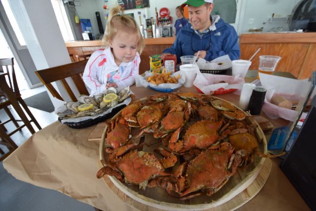 We worked up an appetite after taking in so much history, so we drove a few minutes away for fresh seafood on the water at


