
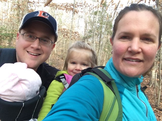
 For the few days it’s been sunny and above 40 degrees this winter you could easily find us at a park or greenway soaking up the fresh air. Even though we’ve explored a lot of the southern end of the Neuse River Trail, we hadn’t run along the northern portion (aka Upper Neuse Greenway) until this winter. It’s a great location to get some exercise and then have a picnic along the shores of the dam.
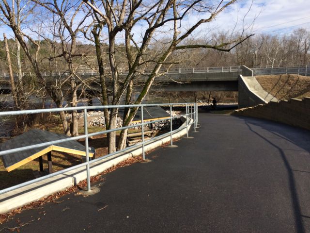
The Neuse River Trail is nearly 28 miles long and officially starts just south of the Falls Lake Dam. We parked in the lot adjacent to the dam, which is near the intersection of Old Falls of Neuse Rd and Pleasant Union Church Rd. From the parking lot, walk along Pleasant Union Church Rd and bare left onto the paved trail that goes under Old Falls of Neuse Rd. As another parking option, turn right onto the service road before crossing the bridge over the Neuse River. Follow the road 100 yards to the greenway parking lot, which has space for about 30 cars and is across from the canoe launch. I prefer to park in the dam parking lot because it offers amazing views and has picnic tables for post-run picnics.
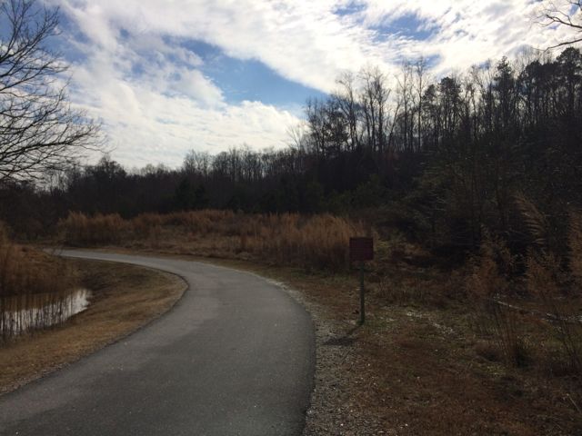 On this particular day the water level was elevated, so it was relaxing to hear the rushing water flow over a screaming 18-month old (yes, she screamed for about 95% of our run). Regardless, this trail is great in that it parallels the river offering great water views and glimpses of the native flora and fauna. We saw herons, beautiful budding red berry bushes (maybe winterberry shrubs) and tall native grasses. We passed under Falls of Neuse Rd and over small bridges. We also passed by the Bedford at Falls River neighborhood with greenway access to Falls River Ave and then turned around at the 1.5 mile mark, which is by the fork in the trail; keep left to stay on the greenway or stay straight for another access point to Falls River Ave and a greenway parking lot. The steady stream of foot traffic and proximity to made me feel secure about returning on my own and the relatively flat, wide trail might make it ideal for kiddo balance biking!
After finishing our run we enjoyed a picnic lunch near the dam and then walked down to the shore line for some good ol’ rock throwing. If you’re still looking for something do after exploring the greenway and dam, hike up the nearby unpaved trail to the top of the dam for more gorgeous views and some playground time.
Additional Resources:
- Previous posts on Neuse River Trail
- City of Raleigh Neuse River Trail information
- Blogger Triangle Explorer’s review of Upper Neuse Greenway
- Neuse River Trail community enthusiast with cool photos
Thumbs up: safety of trail, beautiful views, relatively flat trail, abundance of parking lots
Thumbs down: nothing to report


 This fall we wanted to further explore Falls Lake so we set off with intentions to start closer to the dam and finish
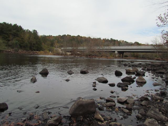
 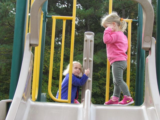 The playground is designed for ages 5-12 and includes a few slides, climbing structures, tic-tac-toe, and several nearby picnic tables and benches. It’s a small playground, but the perfect size for a park with so many more activities. After taking in the views from the top of the dam, we walked down the unpaved trail adjacent to the playground where we got up close and personal with the beginning of the Neuse River. The girls enjoyed throwing rocks in the water while we saw fishermen and birds. There’s also a small parking lot, canoe launch, restrooms, information map, picnic tables, and access to the start of the Neuse River Trail greenway at the bottom of the dam.


 Every New Year’s Day, NC hosts First Day Hikes all over their state parks to promote a healthy start to the year. Even though the organized
 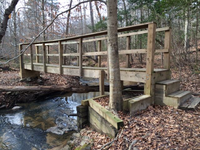 To find the gravel pull-off parking area (


