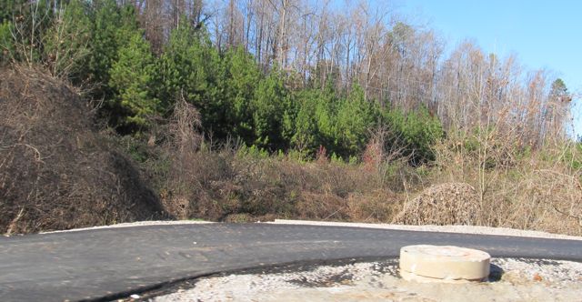
 After exploring the northernmost section of East Mine Fork Trail, we crossed Strickland Road via the pedestrian access near West Millbrook Middle School to catch up with Honeycutt Creek Trail. Heading east on Strickland Rd, we shortly passed mile marker 3.5 for Honeycutt Creek Trail. Honeycutt Creek Trail was part of the 2003 & 2007 bond referendum that opened about a year ago and features 5.6 miles of greenway, some of which is unpaved.
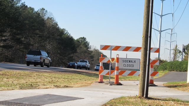
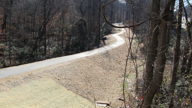
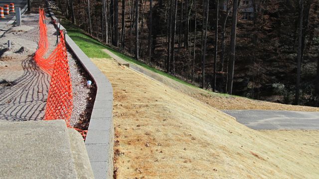
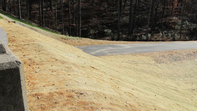
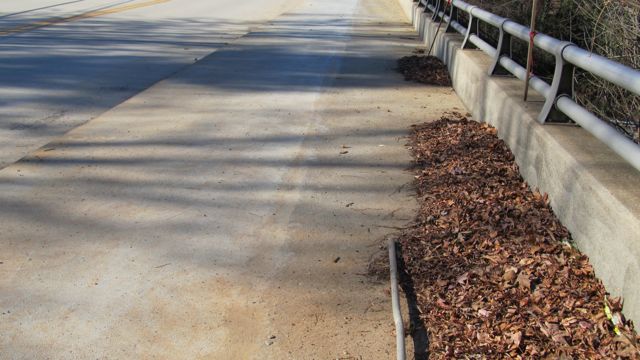
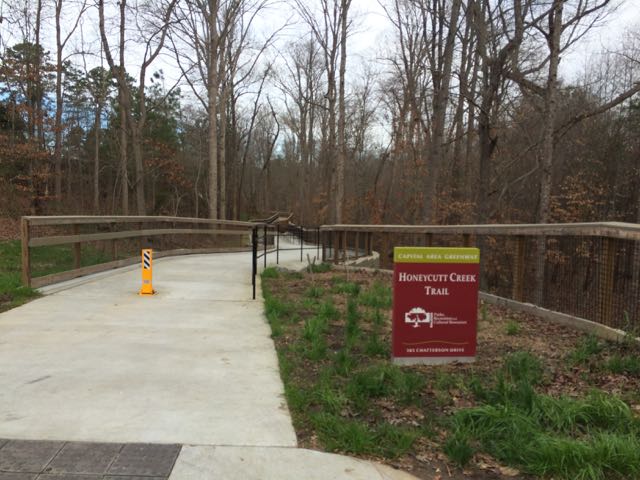
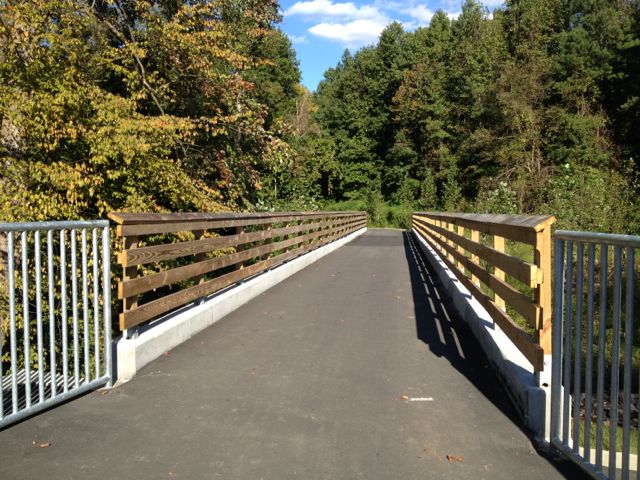
Continuing on Strickland Rd, we followed greenway signs and turned left onto Carriage Tour Ln, which offered some great views of the gorgeous homes in the neighborhood. Following the signs, we turned right on Chatterson Dr and found the official entrance to Honeycutt Creek Trail at 305 Chatterson Dr. The beginning of the trail starts in dramatic fashion along a tall concrete walkway built between the homes of the Bent Tree neighborhood and forest that backs up to I-540. The concrete walkway then leads into a slightly inclined wooden walkway that sits high off the ground offering great views of the nearby creek, residential homes and neighborhood pond.
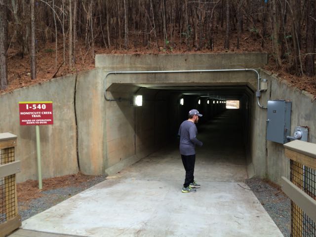 After running along the walkways we crossed under the I-540 pedestrian tunnel near the 2.75 mile marker. I was pretty out of breath pushing the double stroller up the small hills we’d run so far, but I was definitely not prepared for the long, steep hills on the other side of the pedestrian tunnel. Holy hills, Batman! Thankfully, Honeycutt Park (our destination) was only 1/2 mile away. Honeycutt Park seems to be one of the lesser visited parks, yet it has great playgrounds with fun features for kids of all ages. It also holds a special place in my heart as it was the last park our then family of 3 visited before little Claire was born (I have vivid memories of sweating it out in the full July sun). The playground is in full sun, but there is a large nearby pavilion along with other park features including sand volleyball courts, basketball courts, and baseball fields.
After some playground time and a picnic lunch at the pavilion we headed back the way we came. I was thankful the route was downhill, but had to work hard to control the heavy stroller down the steep hills.
If you wanted to continue north along Honeycutt Creek Greenway, follow the trail through the park and along Honeycutt Road to the Durant Rd intersection where it transitions to an unpaved trail. According to the map, it continues north to Raven Ridge Rd where it connects with the South Shore Trail (part of Mountains-to-Sea Trail). A note of caution: a portion of the unpaved trail between Durant Rd and Raven Ridge Rd is managed by the NC Wildlife Refuge Commission, which allows seasonal bow hunting. According to the website, brightly colored vests are available for temporary use and signs display making it obvious of the game lands you’re entering.
Additional Resources:
- Map of Honeycutt Creek Trail
- Design & Construction of Honeycutt Creek Trail
- My 2013 review of Honeycutt Park
Thumbs up: connectivity to Honeycutt Park and beyond
Thumbs down: steep hills


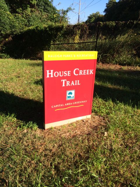 Even though the House Creek Trail was completed only 2 years ago, the trail’s history dates back to 1973 when it was a mere 350ft unpaved foot path and the foundation of the Capital Area Greenway. House Creek Trail is a north/south connection between Reedy Creek Trail (near Meredith College/Wade Ave) and Crabtree Creek Trail (near Crabtree Valley Mall). Having explored all other parts of House Creek Trail, I was excited to visit this last stretch and get some more mileage in before the City of Oaks 10k back in November.
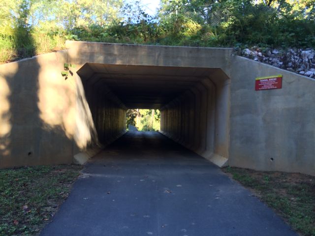 This greenway parallels the eastern side of the 440-beltline until the pedestrian crossover at Glen Eden Rd. Even though you can hear and see the 440-beltline traffic, with the expansive tree lines on both sides of the trail, I sometimes felt like I was miles away in middle earth. Occasionally I passed other bikers and walkers, but for the most part on this chilly October morning it was just me and Claire. Before coming to the Lake Boone Trail tunnel, we passed the small Horton St apartment complex and a designated greenway parking lot located behind Martin Middle School. It was around this time (mile post 2.0) that I also spotted a random basketball pole and hoop in the nearby creek, making me question the history of this area.


 At the House Creek Trail dedication and grand opening ceremony yesterday, you really got a sense of the anticipation and excitement around this new trail. Many guests spoke about the history of the greenway system, especially highlighting the fact that House Creek was Raleigh’s first pilot greenway trail back in the 1970s. It was a short gravel path made possible by the Barefoot family, who was also in attendance at the grand opening. Fast forward forty years and the addition of the new House Creek Trail brings the total greenway mileage up to 78! At 2.9 miles long, the House Creek Trail is a vital north/south connection between Meredith College and the Crabtree area.
 After passing the memorial park, we came to Blue Ridge Rd, which was rather busy around 5pm. Several signs alert you of the busy two-lane highway, so we were able to cross with ease and continued to the corner across from the McDonalds. In all it was a relatively easy .75 miles from Glen Eden Park to the McDonalds. The mile markings begin near the McDonalds and display every .25 miles.