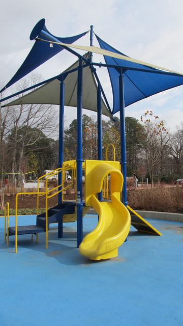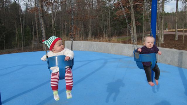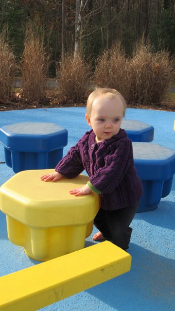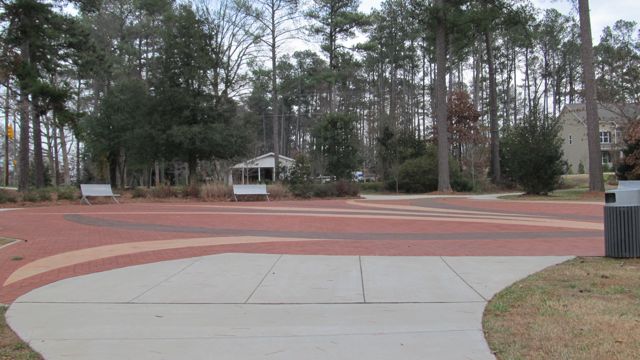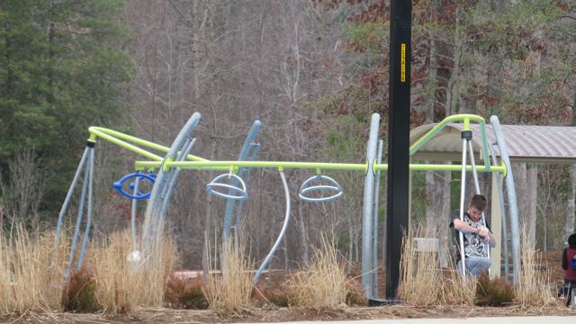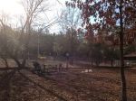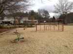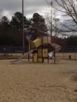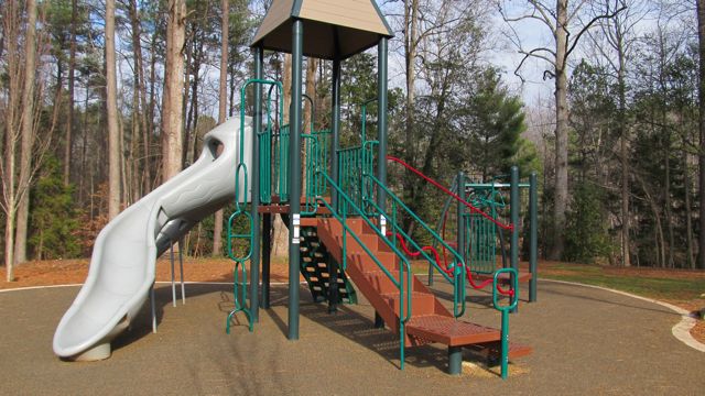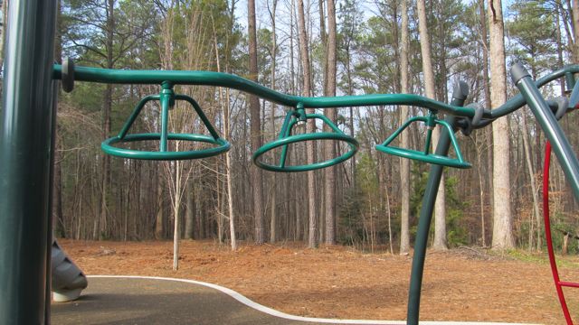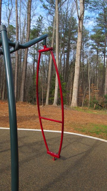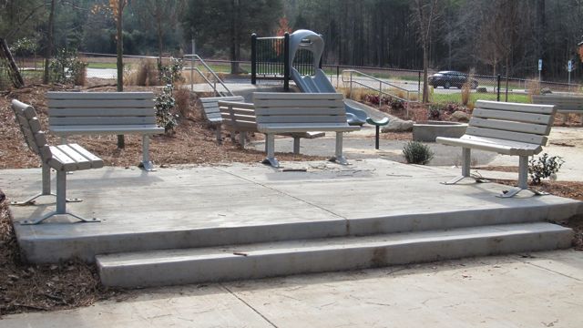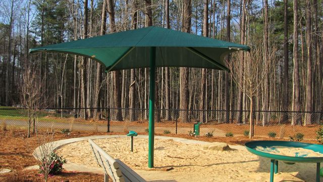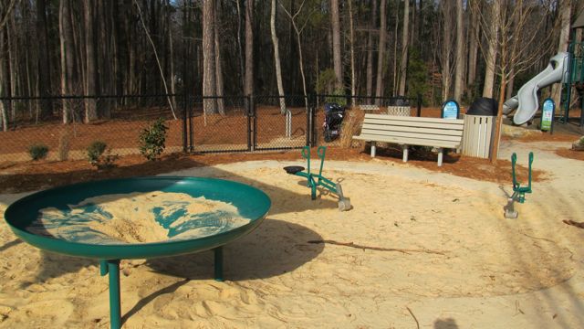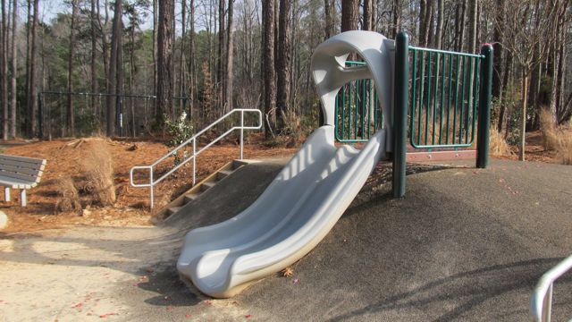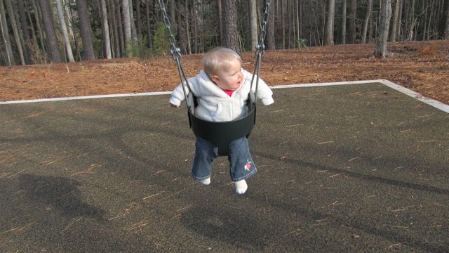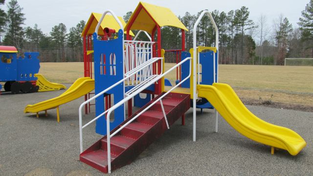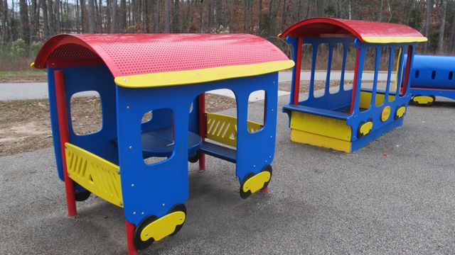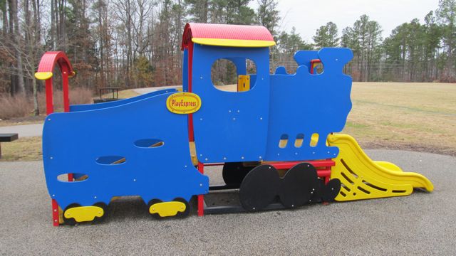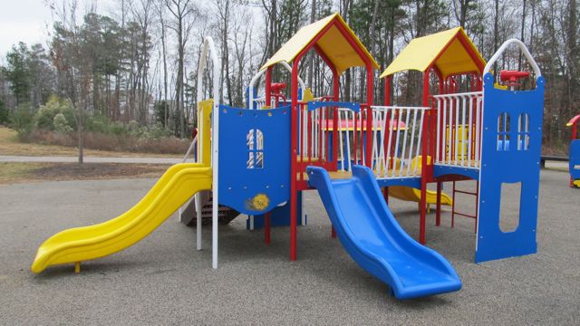
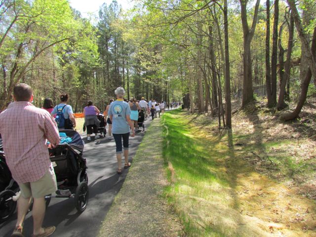
A couple of months ago we attended the Neuse River Trail grand opening at Anderson Point Park located at 20 Anderson Point Dr. Most grand openings we attend are usually low-key and only involve a few important speakers, but this celebration was full of food trucks, live music, crafts for kids, local vendors and more. As typical, we sat through 5 minutes of the grand opening speeches and then played on the playground before hitting up the food, vendors and crafts.
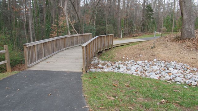
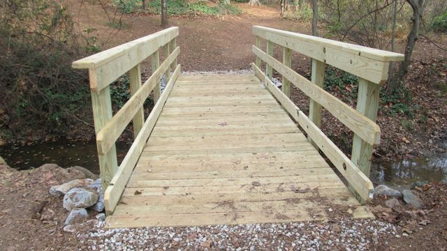
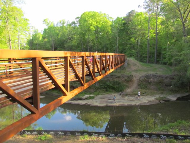
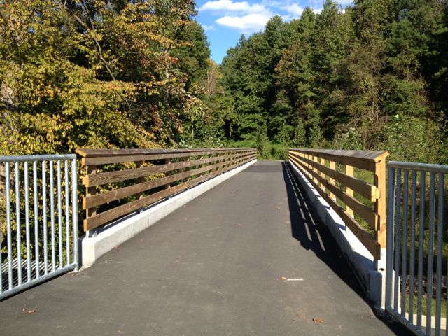
The Neuse River Trail is located on the eastern side of Raleigh paralleling the Neuse River with 7 bridges over the river throughout the trail; it begins at Falls Dam Lake and continues south past the WRAL Soccer Park, Buffaloe Rd Park, Milburnie Park, Anderson Pointe Park and to the Johnston County line. The new section of trail added 20 additional miles, bringing the total distance of this paved trail to 27.5 miles. The Neuse River Trail allows for easy connections west to Crabtree Creek Trail or Walnut Creek Trail and is a great connection between the municipalities of Wake Forest, Raleigh, Knightdale, and Johnston County. Part of the trail is also a segment of the Mountains to Sea Trail that extends from the Great Smokey Mountains to the Outer Banks.
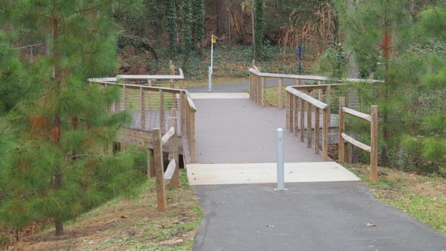
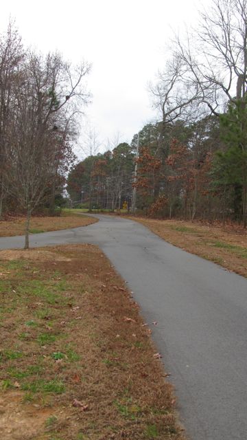
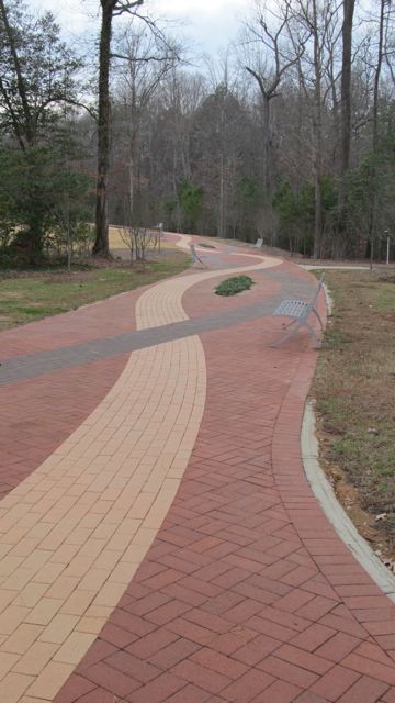
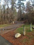
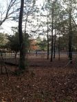
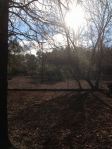
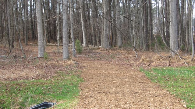
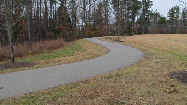
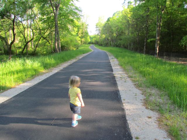 After devouring some delicious pizza from my favorite local food truck, Klausie’s, Ashley and I headed south on the trail for about a mile before her patience and the time got the best of us. The parts of the trail we walked were gorgeous – the trails are 10ft wide, the views of the river are amazing, and the bridges make for exciting photo ops.
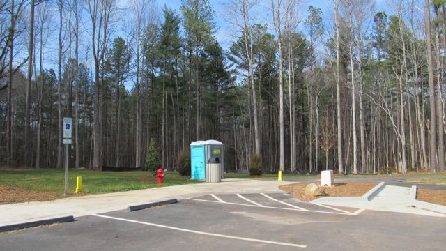
To access the Neuse River Trail near Anderson Point Park, the parking spots are either inside the park or at the parking lot near the canoe put-in at 22 Anderson Point Dr. At this location, you’ll be near mile marker 17 of 27.5. I can’t wait to return and explore more of the trail on bike next time!
Additional Resources:
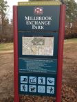
- Greenway map (includes parking and trail information)
- Neuse River Trail map (detailed)
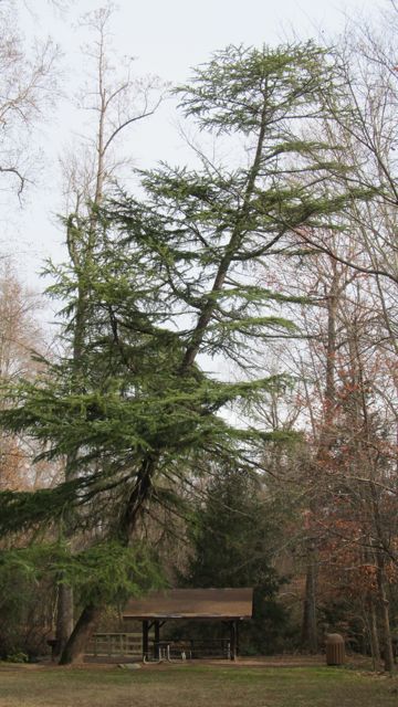
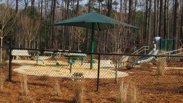
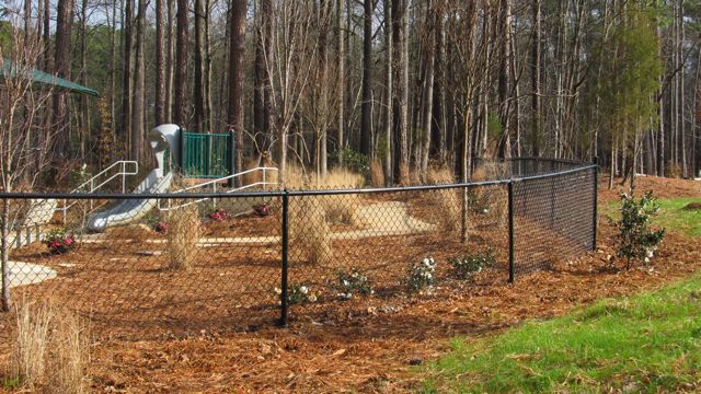
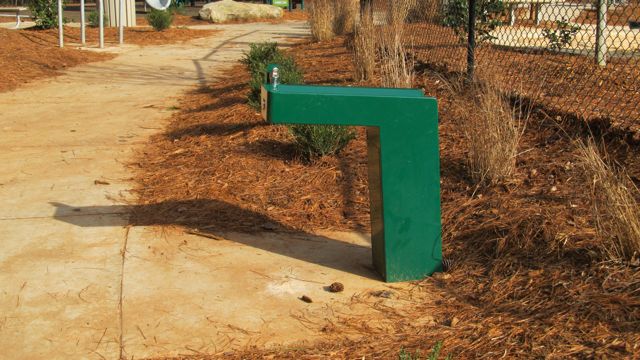
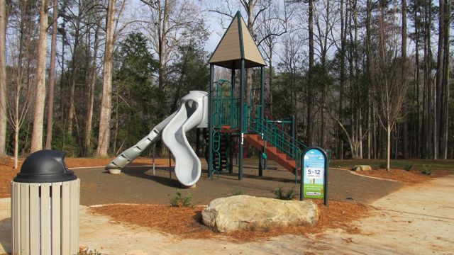
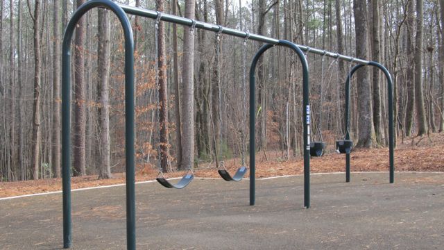
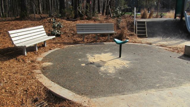
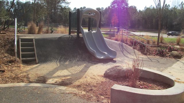
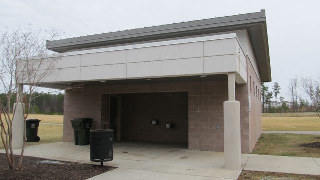
- Anderson Point Park review
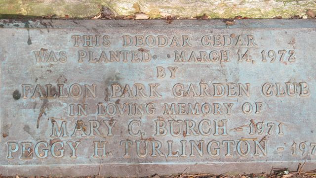
- Dedication & historical information
Thumbs up: condition of trail, scenic views of river, photo ops, bridges
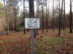
Thumbs down: signage to trails from within park


 About a month ago we attended the


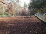
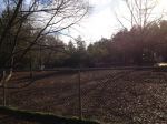
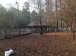
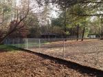
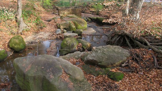
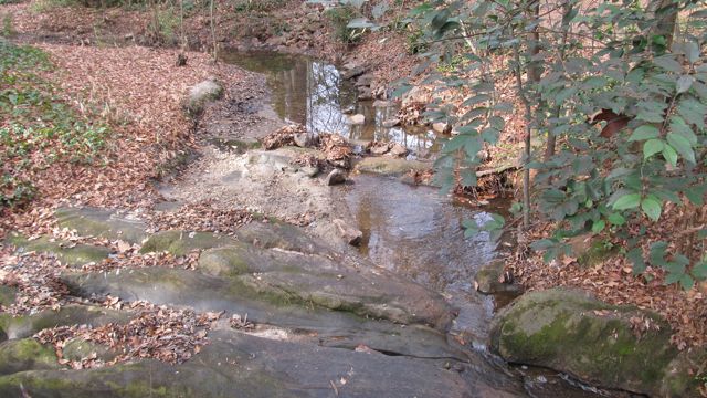
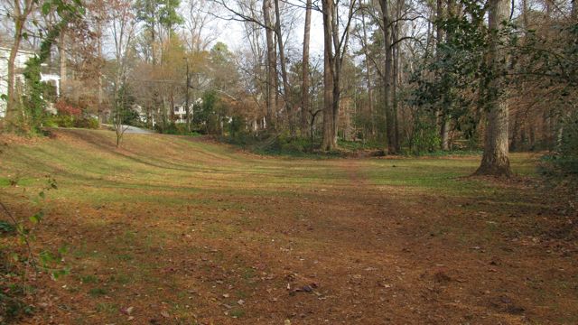
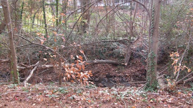
 Fall is prime time for hiking, enjoying the great weather and taking in the leaves changing colors. We recently visited Brookhaven Nature Park in the Brookhaven neighborhood at


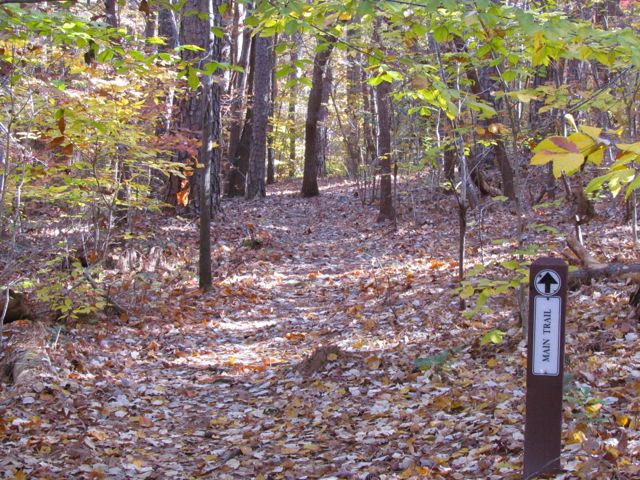
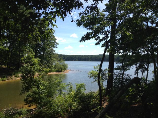 With Fall in full swing, it’s a great time to do some hiking in Raleigh’s backyard. Months ago we visited Jordan Lake State Park for some hiking and a picnic and with the leaves changing colors now it’d be a perfect time to go back. Having survived Profile Trail in western NC we wanted to try one of Jordan Lake’s more challenging trails. After researching the NC Parks website we decided on the blue trail at
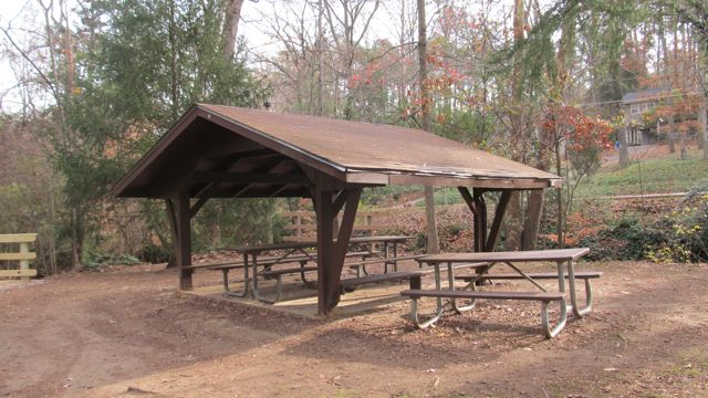
  The Blue trail had a moderate difficulty with some gradual hills and tree stumps along the path. It was well cleared and easy to follow. It took us about 1.5 hours to finish the hike, making it a great mid-morning outing with Ashley and Ripken. After the hike we headed over to the shore line near the boat ramps for a yummy picnic lunch. Unfortunately there weren’t any picnic tables so we roughed it on the shore line. We all had a great time and can’t wait to head back to Jordan Lake soon for some more hiking and perhaps some camping! Visit the


 At the House Creek Trail dedication and grand opening ceremony yesterday, you really got a sense of the anticipation and excitement around this new trail. Many guests spoke about the history of the greenway system, especially highlighting the fact that House Creek was Raleigh’s first pilot greenway trail back in the 1970s. It was a short gravel path made possible by the Barefoot family, who was also in attendance at the grand opening. Fast forward forty years and the addition of the new House Creek Trail brings the total greenway mileage up to 78! At 2.9 miles long, the House Creek Trail is a vital north/south connection between Meredith College and the Crabtree area.
 After passing the memorial park, we came to Blue Ridge Rd, which was rather busy around 5pm. Several signs alert you of the busy two-lane highway, so we were able to cross with ease and continued to the corner across from the McDonalds. In all it was a relatively easy .75 miles from Glen Eden Park to the McDonalds. The mile markings begin near the McDonalds and display every .25 miles.