
A playground at the landfill…say what?! Yes, the North Wake landfill closed in 2008 and local residents worked with the county to repurpose the closed landfill into a park which now features paved trails, mountain biking trails, a large playground area, pavilion, and access to Abbotts Creek Trail (part of Neuse River Greenway). North Wake Landfill District Park is located at 9300 Deponie Drive off Durant Rd in north Raleigh. When you first turn off from Durant Rd, it’ll feel like the landfill is still open because you have to wind through some of the old parts of the dump, but follow the signs for the park.
We spent most of our time exploring the playground area and paved trails that access the nearby greenway. While the playground area has many unique features, I strongly disliked the layout where it is adjacent to a steep hill that my adventurous 3-year old decided to conquer at great speeds, despite strict instruction NOT to do so. So, after recovering from a near heart attack when she sprinted down the steep hill (and received a short timeout) we had a nice time exploring the play areas.
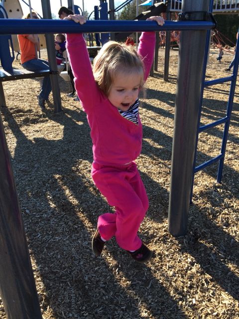
The playground has two areas – one for ages 2-5 and one for ages 5-12. In my opinion this park is definitely more of a “big kid” park. The younger playground area has several climbing structures that are more appropriate for an older and more confident 2-year old. It also has a few slides, two tot swings, and a music feature but it’s a taller playground with little room for playing on.
 The bigger kid playground is any young climber’s dream. There are huge spider web ropes that connect to the playground along with a sideways rock wall. The playground also has several monkey bars, slides, twisty ladders, climbing stepping stones and more!
Both playground areas are covered in a thick wood chip surface and are adjacent to several picnic tables, the public restrooms and water fountains. Also nearby is the large Sycamore pavilion with seating for up to 100, according to the Wake County website.
Descend along the paved trail from the playground to reach access to the western side of Abbotts Creek Trail. Inside the park there are also several mountain biking trails, a mountain biking skills area, and paved walking trails. I’d like to come back and walk or bike the short Top of the Hill trail, which takes you 469ft above sea level for great views of the surrounding area. There is little shade at this park, so plan accordingly!
For more information about this park, visit the Wake County Parks website. I found the park brochure with map to be very helpful.
Thumbs up: repurposing a landfill into a useable recreation space, variety of climbing activities for older kids, proximity and plethora of picnic areas
Thumbs down: steep hill near playground area, lack of park map inside park (didn’t know about most of the walking or bike trails until going online after getting home)


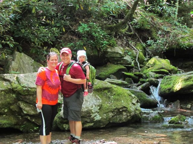 Oh, boy! It’s been a few weeks since I last posted about our trip to Grandfather Mountain: partly because I’ve been busy with other things, but mostly because I’m still wrapping my head around conquering the Profile Trail and Calloway Peak. Yes, I used the word “conquered” when describing this hike.
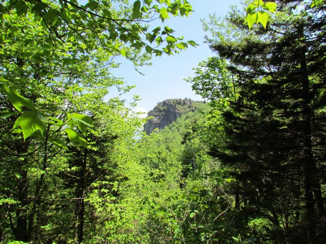 At 2.3 miles you reach Profile View, which offers a spectacular view of the Grandfather Profile. After you pass Profile View, the terrain gets much steeper and harder to ascend. At 2.7 miles you reach Shanty Spring, which is known for being the “last sure water” spot. We refilled here on the way back down the mountain as we did not come prepared with enough water. Shanty Spring is a great rest area offering a lot of shade and a cool drink before ascending the strenuous path of boulders, which lies next.
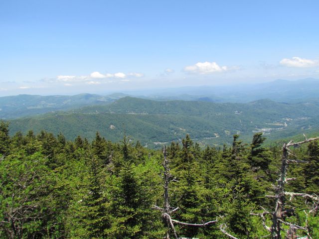 Continuing on, we headed to Calloway Peak, which includes climbing three different ladders suspended between large boulders. It was unlike anything we’d climbed before, but so were the views at the top: the sky was so blue, the mountains so green and you could see for miles.


