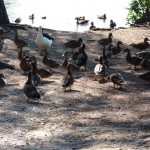
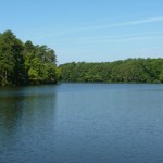
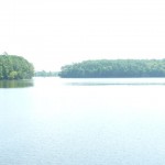
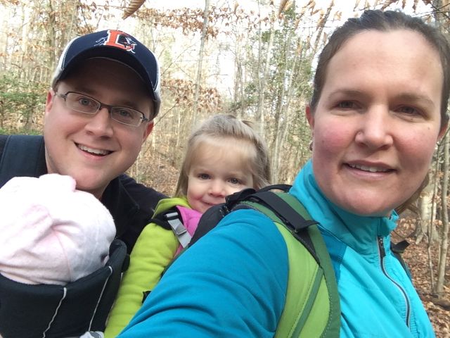
Picturesque. Serene. Beloved. All words to describe my recent visits to Lake Johnson Park.
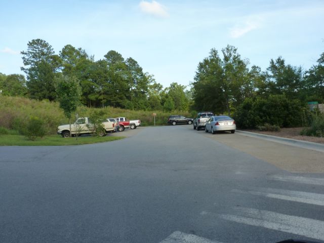
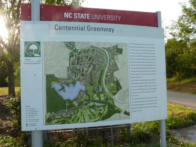
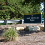
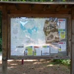
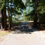
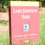
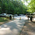
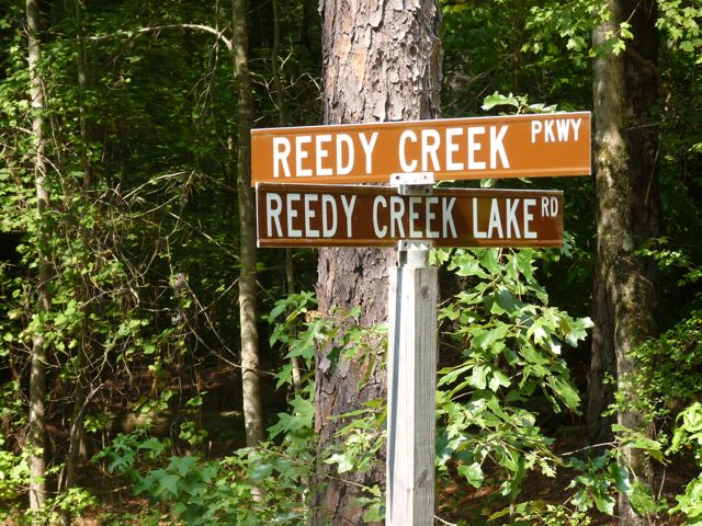
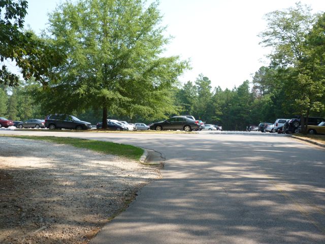
Lake Johnson Park is located in the heart of southwest Raleigh at 4601 Avent Ferry Rd. Its popularity is evident with the many parking lots scattered throughout the park. On two of the mornings I visited, I had to loop around the lot a few times before a spot opened up. Other parking areas are highlighted on this map and can be found further down Avent Ferry Rd on the left, off Lake Dam Dr, at Athens Dr High School, or at Lake Johnson Pool.
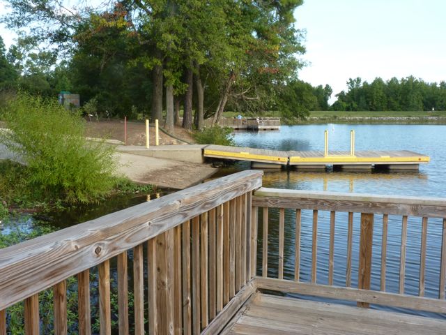
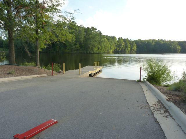
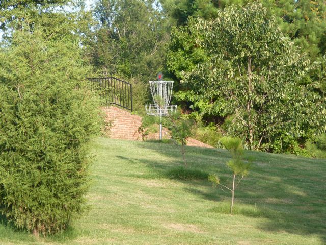
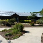
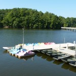
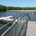
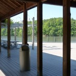
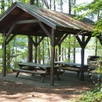
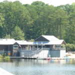
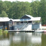
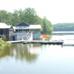
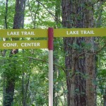
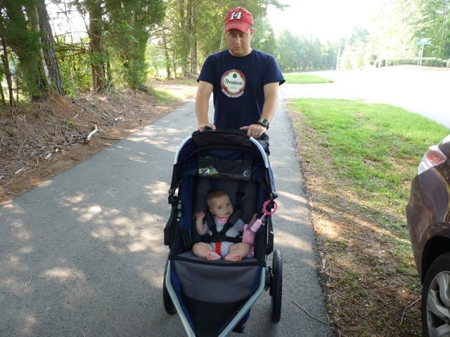
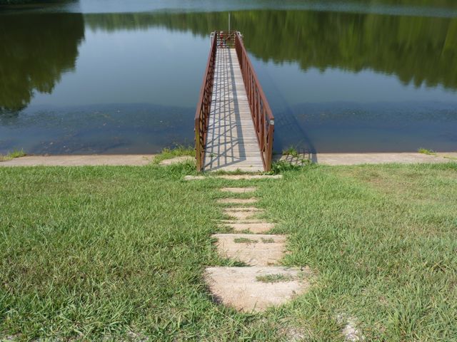
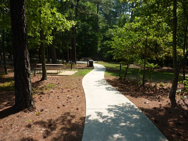
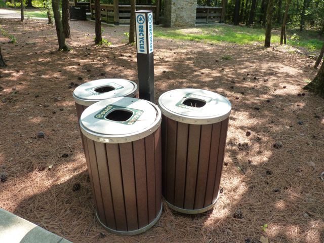
 The main entrance is where you’ll find the large veranda, deck, conference room, concessions, restrooms, rentals, live bait/tackle vending machines, and the boat put-in area. The veranda, conference room, and deck are available for rent. Paddle boats, jon boats, sunfish sailboats and canoes/kayaks are also available for rent. Rocking chairs along the perimeter of the deck provide peaceful views of the lake. There are also several picnic tables and information boards highlighting several of the unique park programs (boot camp, nature photography, fly fishing, sailing). Even though most have already begun, the fall programs such as the kayak and canoe lessons for ages 12+ are starting soon. Call 919-233-2121 for more information. Stroller Strides also runs fitness classes for moms/dads with kids on Tues/Thurs mornings and is beginning a mom/dad 5k training program on Friday, Aug. 26th.
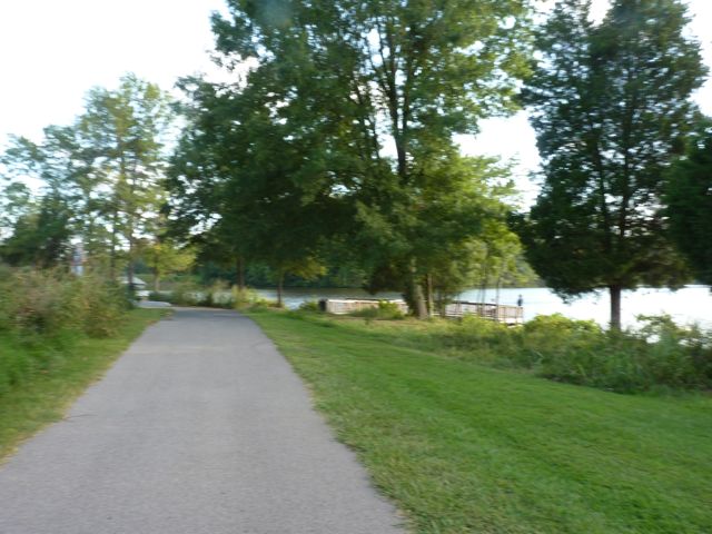
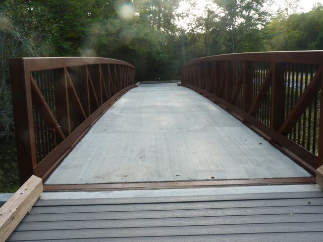
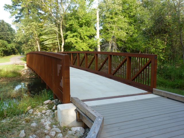
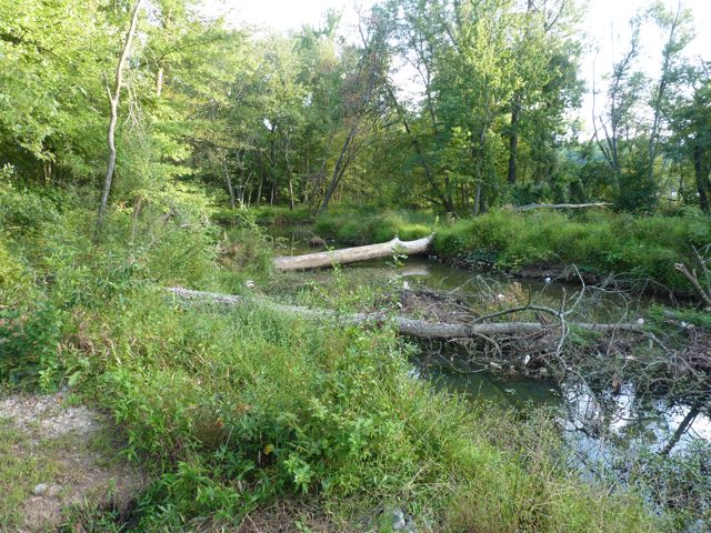
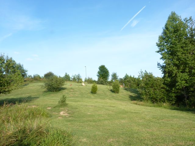
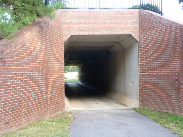
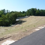
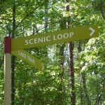
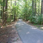
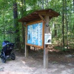
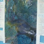
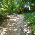
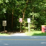
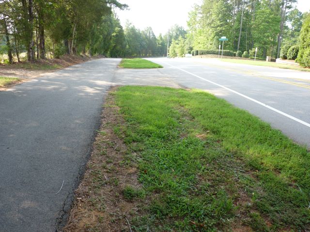
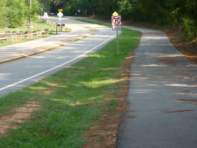
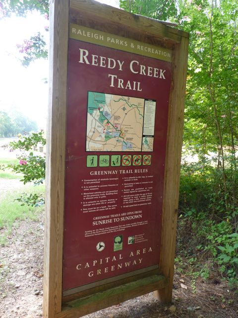
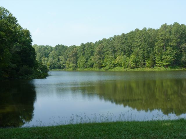
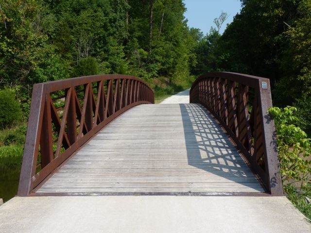
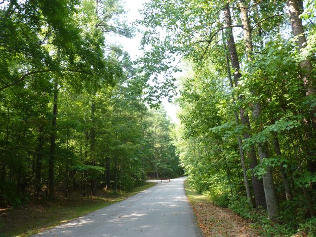
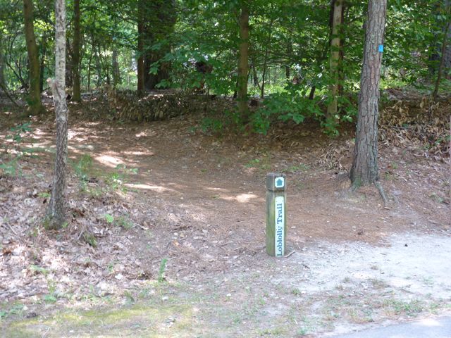
 Avent Ferry Rd splits Lake Johnson in half and there is a paved trail loop on the eastern half and an unpaved trail loop on the western half. The trail is the Lake Johnson Segment of the Walnut Creek greenway trail. Park maps can be found at several of the parking areas, but if you head east on the trail from the main entrance you’ll find a helpful map detailing distances and features of the park.
Distances around the park:
- West Loop (unpaved, prohibited to biking) = 2.15 miles
- East Loop (paved) = 2.75 miles
- Full Loop = 4.33 miles
- East to west loop from the bridge = 1.32 miles
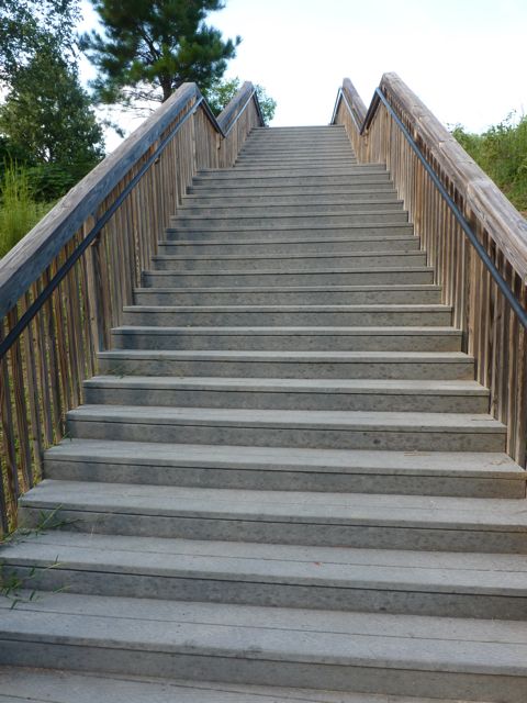
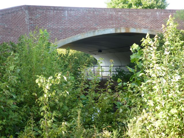
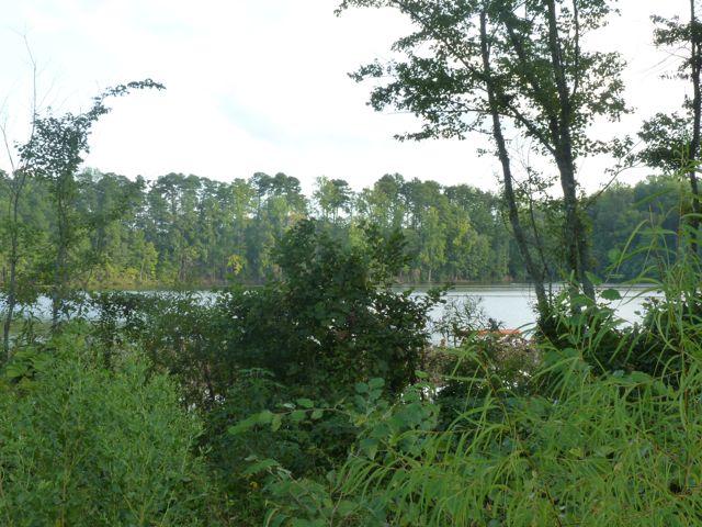
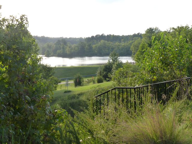
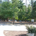
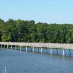
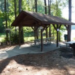
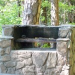
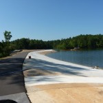
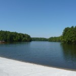
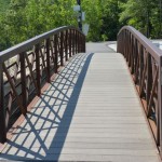
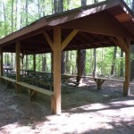
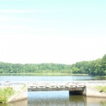
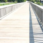
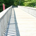
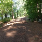
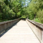
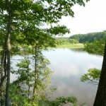
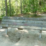
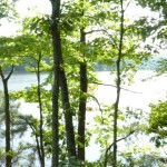
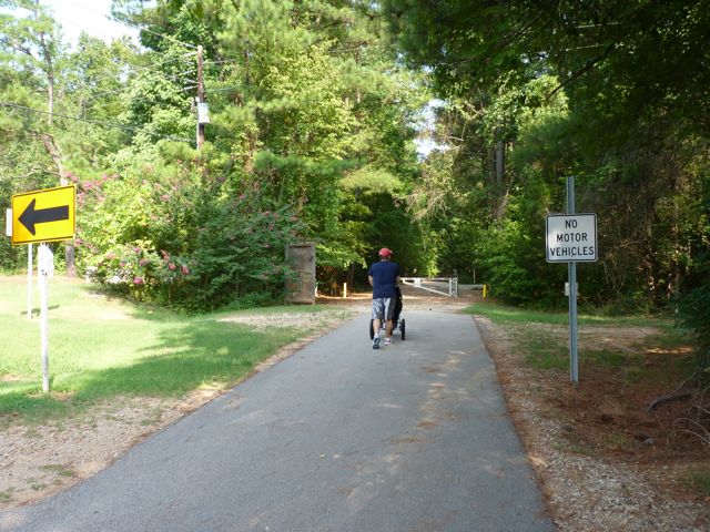
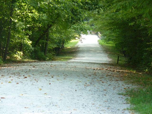
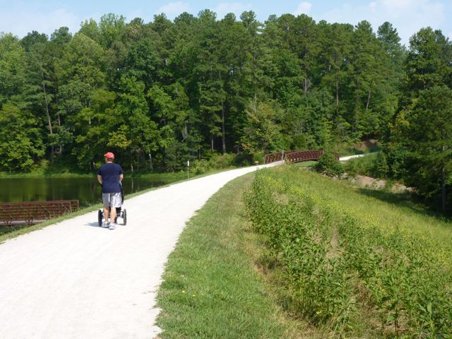
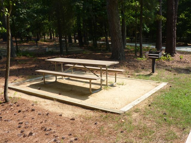
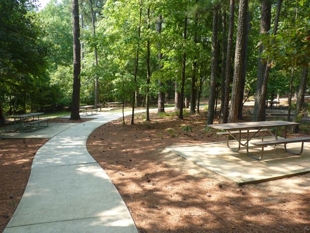
 East Trail – This is a wide, paved path perfect for biking, strolling kids/dogs, walking, and running. The trail is enveloped in large trees that provide great shade. You’ll find beautiful views of the lake throughout this trail, especially along the dam and boardwalk. You’ll also pass a few benches, swings, and shelters for rent along this trail. Shelter 2 has two picnic tables and a large charcoal grill and Shelter 4 has four picnic tables, several benches, and a large charcoal grill. Magnolia Cottage is a medium-sized building tucked deep in the woods that can also be rented for events. If you head clockwise on the trail from the main parking lot the trail starts off flat and then gets rather hilly after crossing the dam.
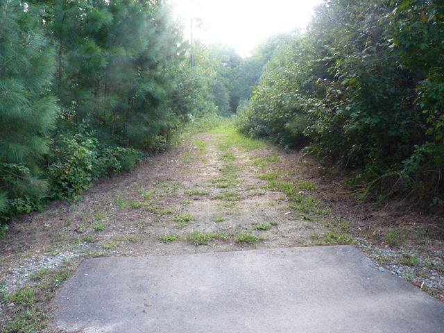
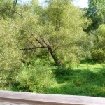
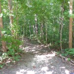
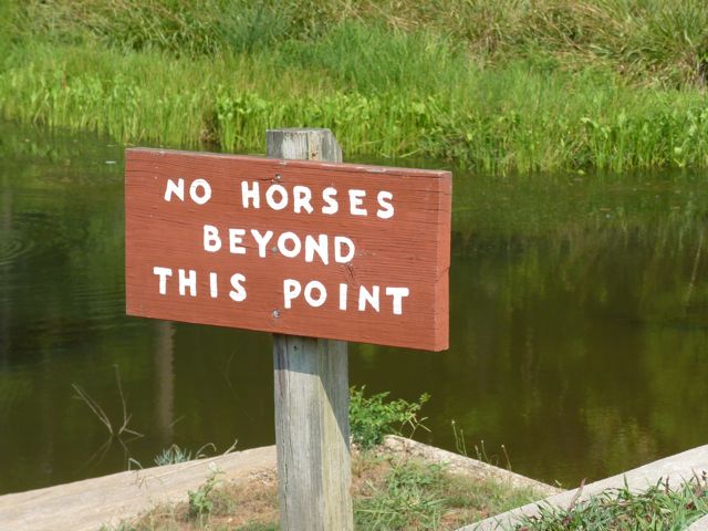
 West Trail – This is a fun trail for hiking or trail running. Bikes are prohibited and I would recommend using a Baby Bjorn or back pack if bringing an infant/very young child. Use caution on the trail, as it is mostly a narrow, hilly, dirt trail with roots covering the path. Nature photography opportunities are galore on this trail. You can also access Lake Johnson Pool from the West Trail. Even though we didn’t have time for a visit inside the pool, from the outside there looks to be a spray garden, baby pool, and main pool with lap lanes and free swim area.
After a two year hiatus from visiting Lake Johnson Park until last week, I’ve been back three times and it is quickly becoming a favorite. Between the scenic views, boating opportunities, great running trails, and safeness of the area it’s a must-visit park!
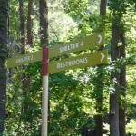
Thumbs up: shady trails, scenic views, condition of paved trail, boating opportunities, security, facility rentals, mile markers along East trail, peacefulness
Thumbs down: confusing signage (especially along West Trail)
This post originally appeared on soutwestraleigh.com, where you can learn more about what a great place South West Raleigh is to live, work, and play.

 This past Spring we took advantage of warmer days and met friends at Durant Nature Preserve for easy family hiking (about one total mile), playground time and a picnic at the nearby Compass Rose Brewery. Durant Nature Preserve is a quiet, woodsy park with hiking trails, lakes for fishing, playgrounds, a nature play space, butterfly garden, open fields, great engaging programs, and more. We’ve explored this park several times in the past, and love discovering something new each time. For this visit, we drove to the park’s north entrance at 8305 Camp Durant Rd and parked near the small open field to access White House Road Trail.


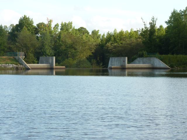
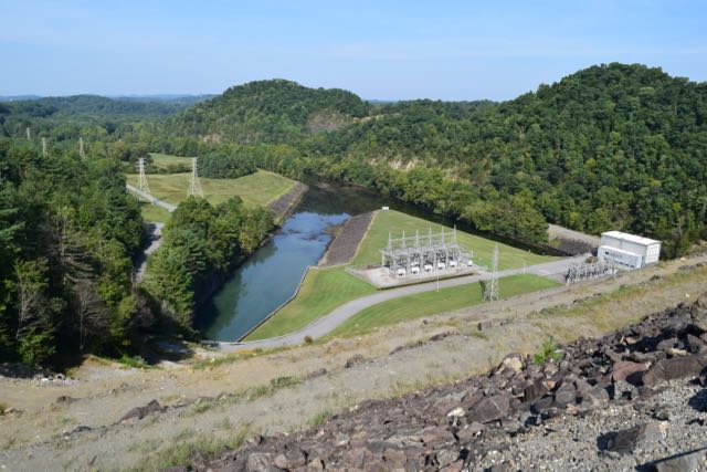 Dam, Plant & Reservoir
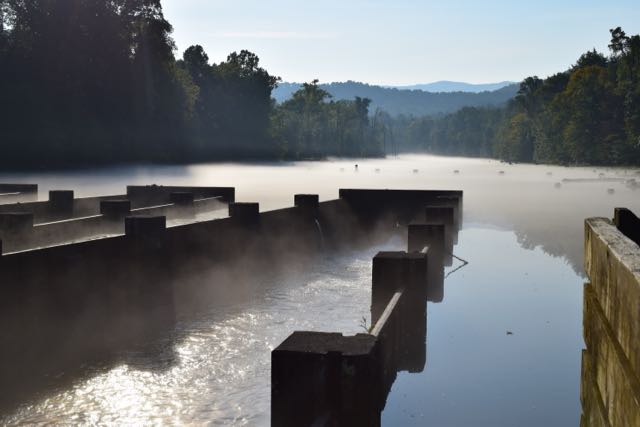 Osceola Island


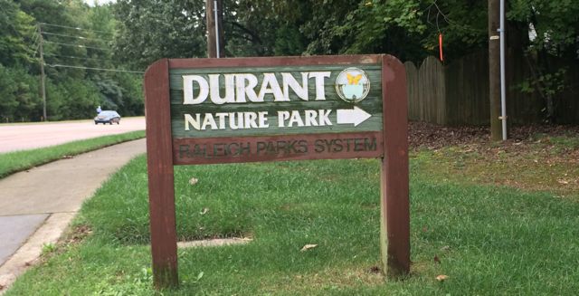 In early Fall we headed out to Durant Nature Preserve with some friends to enjoy their weekly Wee Walkers program (Thursdays from 10-11am). Having never visited Durant Nature Preserve before I’m glad I attended an organized program that guides you and the kiddos on a short walk through the park because this nature park is huge! Durant Nature Preserve is located at
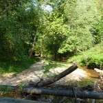
 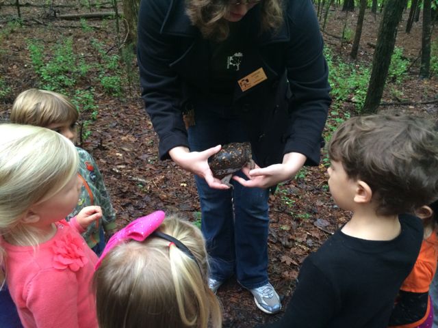 We hiked along the eastern side of the park following the Pine Ridge Connector, Pine Ridge Trail and Lakeside unpaved trails. Our guide stopped several times along the trail to point out a variety of flora and fauna. We saw a little bit of everything: wasp nests, leaf poppers, water striders, water frogs, mushrooms, mosquito fish, poplar tulip leaves, muscadine grapes, dogwood berries and a real turtle! The kids (ranging in ages from under 1 to 5 years old) were most impressed by the turtle walking along the trail, but it’s been fun to see how Ashley gets excited when she sees dogwood berries in the backyard! The neat part about the Wee Walkers program is that each program is different because it’s based on what’s going on in nature that week and it’s FREE…what a deal!


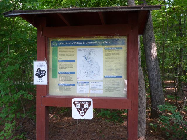
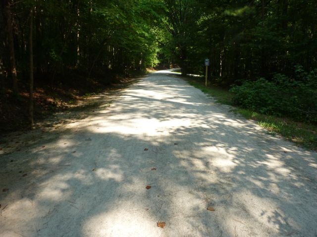
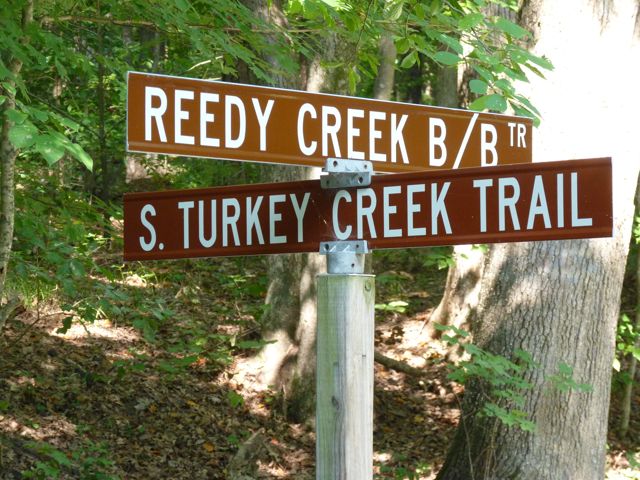
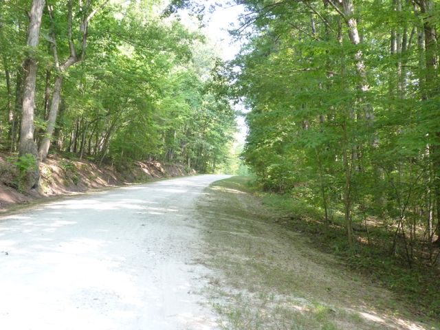
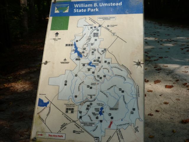
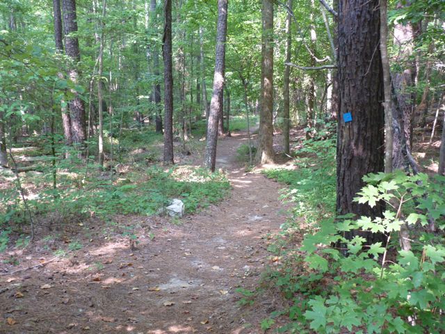
 Every New Year’s Day, NC hosts First Day Hikes all over their state parks to promote a healthy start to the year. Even though the organized
 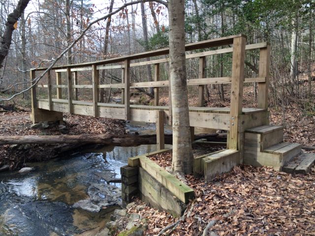 To find the gravel pull-off parking area (