
 We took advantage of the gorgeous weather over Christmas break and spent a lot of time exploring new places outside. The day after Christmas we drove north to Falls Lake for a 2.5 mile morning hike. If you haven’t checked out the day hike ideas by the folks at Friends of the Mountains to Sea Trail (MST), make it something you do this Spring. The day-hike information includes detailed directions (including distance, difficulty ratings, for day-hikes in the mountains of the Blue Ridge Parkway, the Raleigh-Durham (Triangle) region and the Coastal Plain.
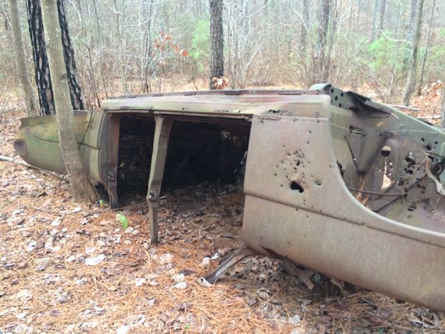
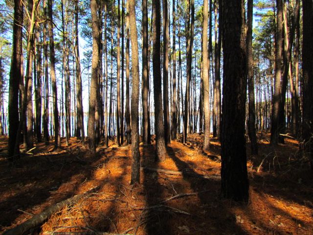
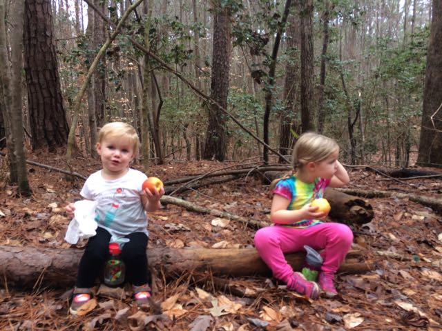 We hiked Day-Hike D that starts near 15009 Possum Track Rd with roadside parking. After getting the backpack gear on, we headed for the nearby trailhead with “Mountains to Sea Trail” markings and hiked in a westerly direction. This complete hike is about 2.9 miles one way, but we hiked about 1.25 miles out and back for 2.5 total miles. This stretch of the trail features mostly flat land, hardwood forests with pines, a few views of the lake, some creek views and a flipped vintage car (about a mile into the hike). According to an MST hiker, this car might be a 1951 Hudson Pacemaker. Ever so often we came to a clearing that was pretty muddy due to all the recent rains. Before we turned around we stopped in a clearing for a quick apple snack and also caught sight of a few residential homes.
Along our hike we also passed several hunters (and hikers, too) so be sure to wear bright colors if you go on this hike. Some or all of this land is on game lands and hunting is allowed (I overlooked this detail when initially planning our hike). The hunters we passed were friendly, they just caught us off guard.
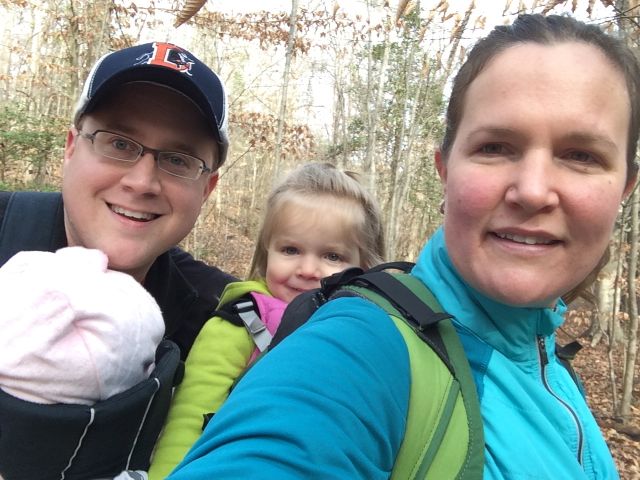
The girls are starting to get to the ages where hikes are more fun than work (imagine less complaining and more smiling). Ashley likes to point out things in nature (the girl loves identifying some moss) and Claire enjoys looking around in her backpack and pretending she’s riding a horse. After our last hiking fiasco in Nags Head, it felt rewarding that we didn’t leave any tears on this trail!
Thumbs up: easy family hike with little ones, cool vintage car to gawk over
Thumbs down: be prepared to share the land with hunters as this is part of game lands


 Blue Jay Point County Park is an outdoor mecca for people of all ages! We visited Blue Jay Point County Park about a month ago after hearing so much great news about the new
 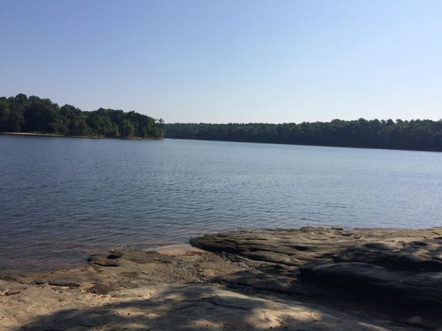 After some playground time, we headed towards the covered pavilion where the Laurel Loop nature trail begins. This was such an ideal walk for young kids – it is a well maintained unpaved trail with lots of shade, has several benches and picnic tables throughout, is only 0.2 miles, allows for a short walk by adjacent Falls Lake, and loops you back to the playground area. All of the girls from ages 18 months to 4 years old loved exploring this trail, especially finding the dozens of caterpillars along the trail.
 We then headed outside to the nearby fenced-in garden area for a much deserved picnic lunch. After our lunch we walked all throughout the gardens learning about the different herbs, flowers and vegetables they’ve planted. The biggest highlight for me was the “pizza garden” where they planted lots of basil and tomatoes. The biggest highlight for the girls was spotting butterflies and checking out the resident turtles and water snake in the small pond area.


 On New Year’s Day 2015 we visited the
 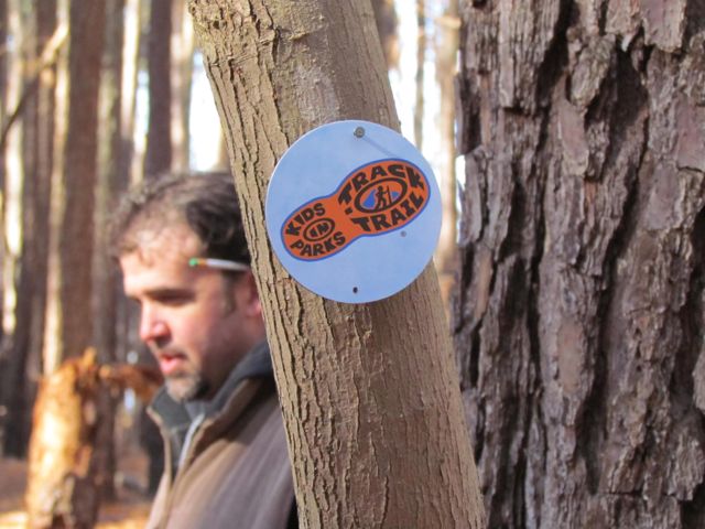 Once the families gathered at the trail head, the park rangers explained more about the short .75 mile hike and gave each child a scavenger hunt brochure of things to look for along the way. Ashley was a little too young for the scavenger hunt, but the older kids had a great time. They also explained the
 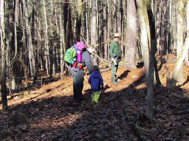 In the past our hiking experiences with our kids have mostly been self-guided with very basic objectives: 1) survive (


 This fall we wanted to further explore Falls Lake so we set off with intentions to start closer to the dam and finish
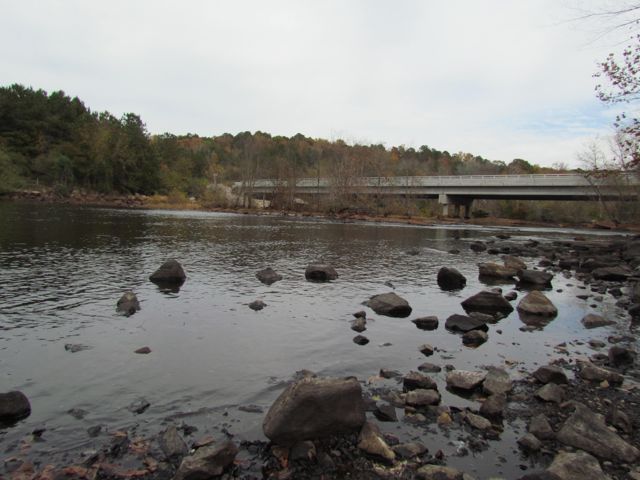
 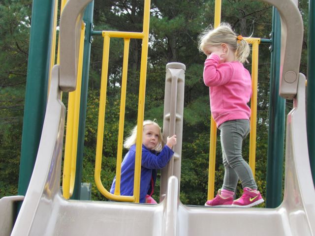 The playground is designed for ages 5-12 and includes a few slides, climbing structures, tic-tac-toe, and several nearby picnic tables and benches. It’s a small playground, but the perfect size for a park with so many more activities. After taking in the views from the top of the dam, we walked down the unpaved trail adjacent to the playground where we got up close and personal with the beginning of the Neuse River. The girls enjoyed throwing rocks in the water while we saw fishermen and birds. There’s also a small parking lot, canoe launch, restrooms, information map, picnic tables, and access to the start of the Neuse River Trail greenway at the bottom of the dam.


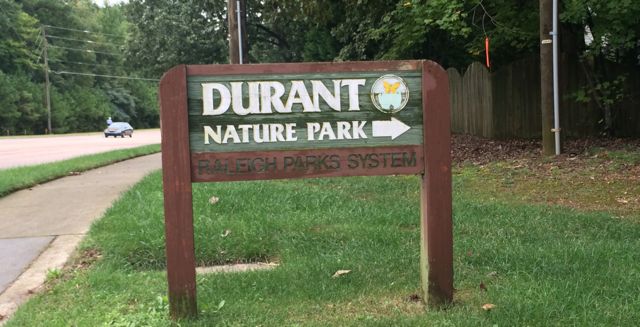 In early Fall we headed out to Durant Nature Preserve with some friends to enjoy their weekly Wee Walkers program (Thursdays from 10-11am). Having never visited Durant Nature Preserve before I’m glad I attended an organized program that guides you and the kiddos on a short walk through the park because this nature park is huge! Durant Nature Preserve is located at
 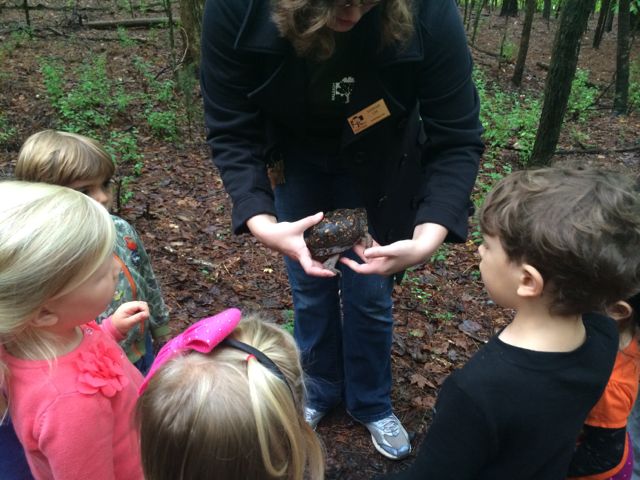 We hiked along the eastern side of the park following the Pine Ridge Connector, Pine Ridge Trail and Lakeside unpaved trails. Our guide stopped several times along the trail to point out a variety of flora and fauna. We saw a little bit of everything: wasp nests, leaf poppers, water striders, water frogs, mushrooms, mosquito fish, poplar tulip leaves, muscadine grapes, dogwood berries and a real turtle! The kids (ranging in ages from under 1 to 5 years old) were most impressed by the turtle walking along the trail, but it’s been fun to see how Ashley gets excited when she sees dogwood berries in the backyard! The neat part about the Wee Walkers program is that each program is different because it’s based on what’s going on in nature that week and it’s FREE…what a deal!


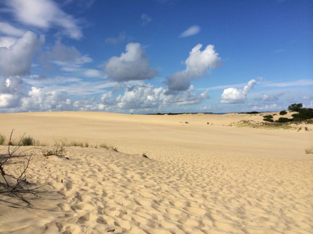
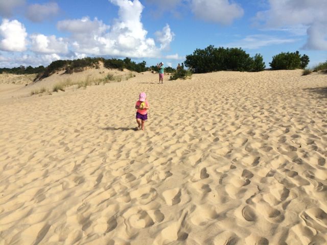 Unfortunately, our visit to Jockey’s Ridge did not go as swimmingly as I would have liked. As with most things I plan with two small children, my expectations exceed reality and this was one of those examples. Knowing the sand is at least 10 degrees hotter than the outside temperature we got an early start to our trip and were in the parking lot area by 9:30am. After a short stop inside the visitor’s center, Bill and I set off with both girls to find the top of the dunes. We made our way to the end of the wooden walkway near the large group of visitors that were catching their breath from just coming off the dunes. We followed some of the other visitors along the loosely marked


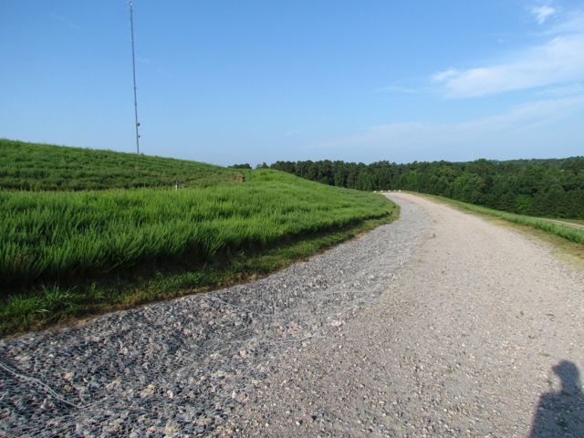 After about an hour of exploring and taking photos of downtown Raleigh, I headed back to North Raleigh to capture photos from one of the highest places of elevation in Raleigh – Top of the Hill trail in North Wake Landfill District Park. I’ve visited this park before,
 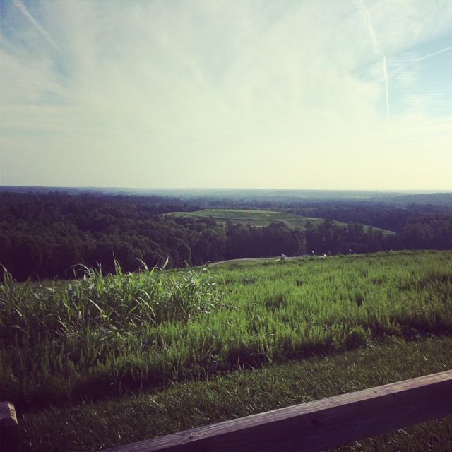 Other than great views from the top, there are several picnic tables, benches, and a bike rack. Even though my downtown Raleigh pictures didn’t turn out as well as I would’ve liked, the whole experience certainly fueled my desire to practice and learn more about photography.


 A few weeks ago, Bill planned a fun Sunday outing to explore the outdoor Cloud Chamber for the Trees & Sky exhibit (aka Hobbit House) at the
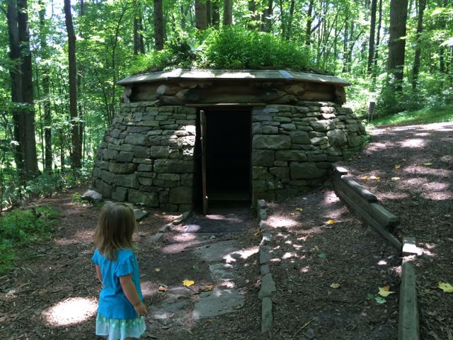
 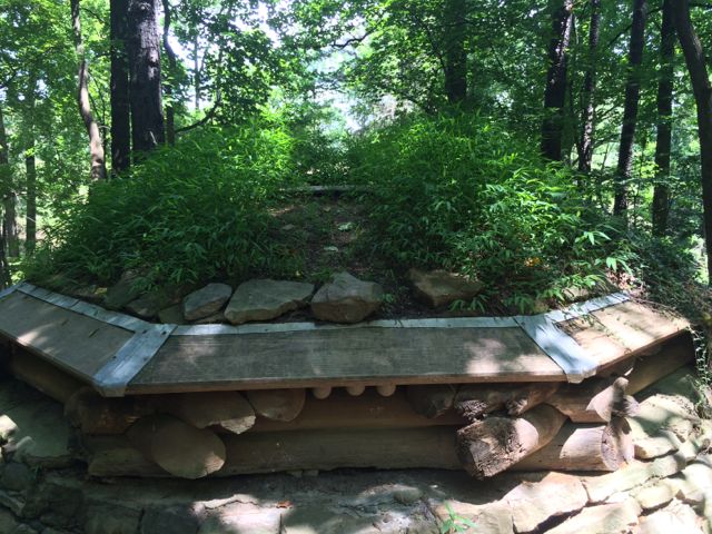 So, after a short walk through the wooded section we found the Cloud Chamber house, which looks like a replica of Bilbo Baggins’ house. It’s a short, circular house built into the side of the hill with large stones, some criss-crossed logs, and a green plant-based roof. It has a concrete floor and a heavy wooden door and the house’s neat feature is that it acts as a camera obscura. After entering the house, close the door and wait for your eyes to adjust to the darkness and you’ll see faint views of the sky as light is projected through an opening in the roof onto the floor of the house. Bill took Ashley into the house by themselves but didn’t stay long and then I went in by myself and witnessed puffs of sky inverted on the floor…it was neat to be able to look “down” onto the sky! And, I don’t think we’ll ever forget our trip to the Hobbit House with Ashley asking where are the “wobbits” every minute; poor girl was expecting to see some real life hobbits.
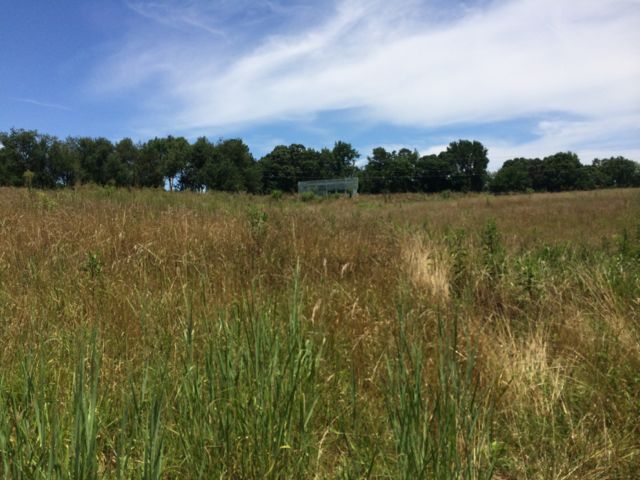 We then continued our walk along the loop trail where we also saw the Untitled exhibit by Ledelle Moe, which looked like a small concrete person concrete curled into a ball. After completing the loop trail we headed back to the gravel path and turned right. We headed downhill and came across the Whisper Bench exhibit, which was a fun interactive piece of art for Ashley. It’s two steel benches on opposite sides of the trail that are connected by an underground sound pipe. Ashley and Bill enjoyed talking back and forth to each other and I loved hearing the toddler giggles! After the Whisper Bench we continued on the very sunny gravel path that led us uphill and back to the paved trail near Lowe’s Pavilion. Finally, we stopped for a quick picnic lunch inside the pavilion before heading home for naps.


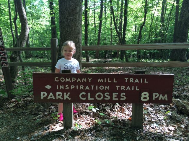 So, for our hike we headed out to the
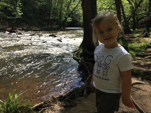
 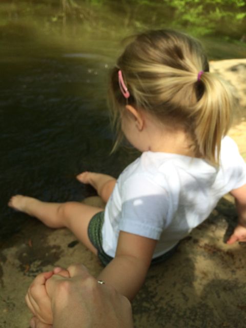 So we set off and hiked for a mile until we came to the creek. Before heading across the bridge we walked down some steep rocks and had a snack along the creek’s edge near the remnants of the old mill wall. According to an information board near the parking lot, Company Mill was built in 1810 by Anderson Page and was used for grinding wheat and corn. It was also a popular spot to have fish fries, weddings, and social gatherings before being washed away by a flood in the 1930s. There are several flat spots below the old wall and near the water that are great for stopping. A friendly photographer took our picture for us and then warned us of some water snakes he saw (luckily we didn’t see any). After our snack we headed across the bridge and turned right to join the few crowds on the large rocks near the opposite side of the creek bank. Ashley loved scooting down to the water and got tickled when I told her she could take her shoes and socks off and soak her piggies in the water. This child was in heaven! And, after a short while later we hiked the one mile route back to our car. She was pretty exhausted for the last half of the hike home, but stayed in good spirits and finished on her own…I was so proud of her!


 Every New Year’s Day, NC hosts First Day Hikes all over their state parks to promote a healthy start to the year. Even though the organized
 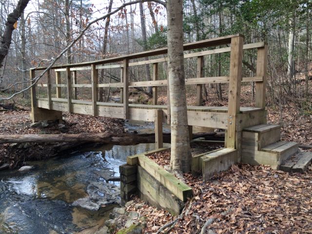 To find the gravel pull-off parking area (


