
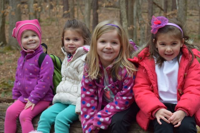
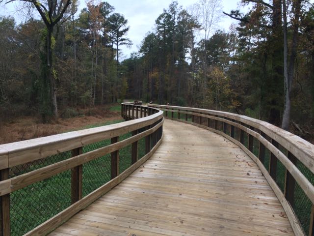
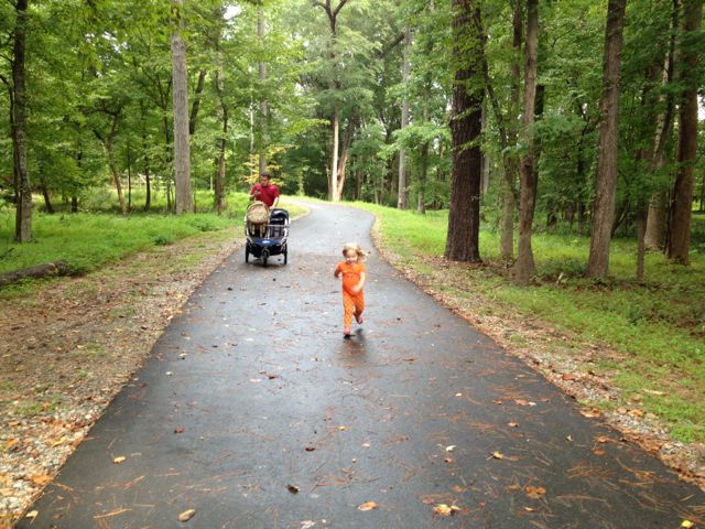
 In January we headed with friends to Umstead Park to explore the super kid-friendly Oak Rock Trail, which is only 1/2 mile long. This is a great hike for young families or large groups with young kids. The trail has easy access to clean restrooms and picnic tables, and shallow stream access for water fun in the warmer months. It’s also part of the Kids in Parks TRACK Trails program that provides self-guided brochures for outdoor adventures.
We accessed Umstead Park from the Highway 70/Glenwood Ave entrance at 8801 Glenwood Ave. Recalling the mobile map, we drove past the Visitor Center and then parked in the first parking lot on the left. Unfortunately there weren’t signs from the main road directing you to the trail. After parking, we walked straight, following the signs for Oak Rock Trail and Kids in Parks.
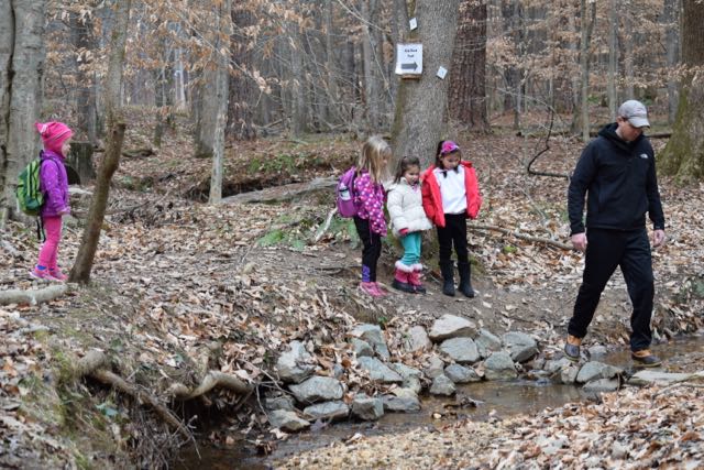 Since it was wintertime, the leaves covered the ground making it a little tricky to notice tree roots. Luckily, the girls heeded our suggestion for walking slowly. We zig-zagged over the small creek several times, throwing sticks and stones into the water and looking for tadpoles. The girls also enjoyed hopping on large stones to cross the streams.
Even though the trail is short, we spent extra time listening and looking for birds, picking up leaves, and finding moss. The girls enjoyed looking at the tangled tree roots coming out of the ground near the creek and the fallen trees along the way. At the end of the trail we enjoyed a picnic lunch while the girls traversed a large fallen tree. The nearby restrooms were clean and easily accessible.
Thumbs up: easy family hike, great for young kids, self-guided scavenger hunt brochure, plenty of picnic tables, creek for splashing
Thumbs down: poor signage to trail from main park road


 On day 2 of our
 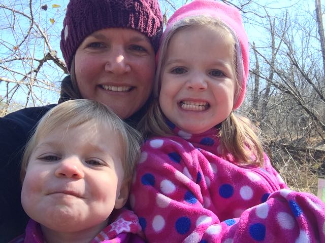 This trail is about 1.3 miles in total length and is marked as being moderate. The only moderate part of the hike was heading up the bluffs on the way back. The parts along the river were flat and quiet, the only sounds coming from the river and wee ones. In the future when the kids are much bigger I’d love to explore this area further by canoe and camping!


 We took advantage of the gorgeous weather over Christmas break and spent a lot of time exploring new places outside. The day after Christmas we drove north to Falls Lake for a 2.5 mile morning hike. If you haven’t checked out the
 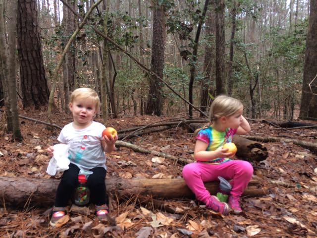 We hiked Day-Hike D that starts near


 When the weather hovered in the high-70s on Christmas Eve, my family headed to a newly opened section of greenway for some exercise before filling up on holiday libations and rich foods. East Fork Mine Creek is a 2.5 mile north-south paved trail that runs along Mine Creek near Lynn Rd to the north side of Strickland Rd. We drove to one of the entrances of the trail near the intersection of
 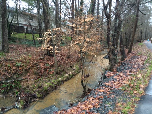 We continued north on the trail until we came to Old Deer Trail, a neighborhood street in the Summerfield subdivision. We crossed over Old Deer Trail and followed the Capital Area Greenway signs as we winded our way through this cute, low-traffic neighborhood. We passed a few other bikers and walkers along the way before coming to Strickland Rd. We crossed Running Cedar Trail, heading east on Strickland Rd where we also passed West Millbrook Middle School and mile marker 2.5, the end of East Fork Mine Creek Rd. At this point of the trail there is a well marked pedestrian crossing area designated for crossing over busy Strickland Rd. My aunt and I opted to head back to the car while the rest of the group crossed Strickland Rd to extend their run on the connecting Honeycutt Creek Trail (more on this hilly trail in a future post).


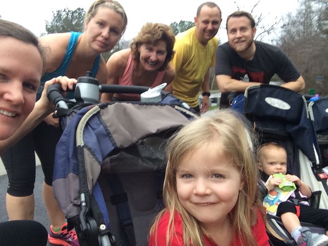
 Back in November we took advantage of my aunt visiting and went on a greenway biking day date! We biked along Crabtree Creek Trail from milepost 0 to 4.75, completing the final segment of this greenway that we had left to explore. We parked at Anderson Point Park and biked past the traffic circle near the park’s main entrance to the Crabtree Creek Trail greenway entrance and headed west (note: there are also signs for Neuse River Trail).
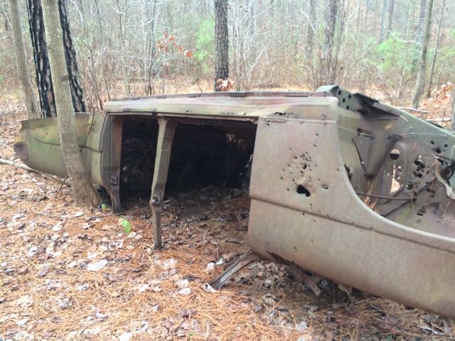
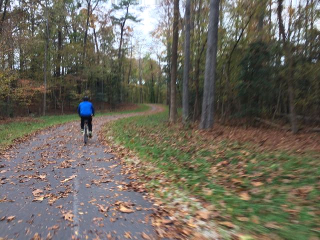 We biked until about mile marker 4.75 where we turned around at an abandoned commercial building with a gantry crane to ensure we returned to the park before sunset (note: just past this spot is


 For the few days it’s been sunny and above 40 degrees this winter you could easily find us at a park or greenway soaking up the fresh air. Even though we’ve explored a lot of the southern end of the Neuse River Trail, we hadn’t run along the northern portion (aka Upper Neuse Greenway) until this winter. It’s a great location to get some exercise and then have a picnic along the shores of the dam.
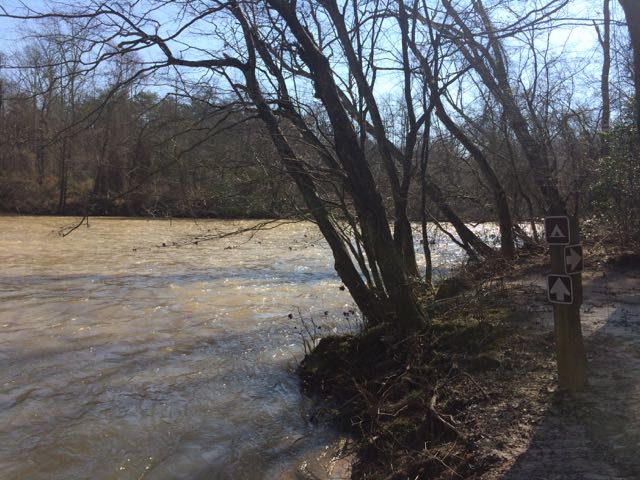
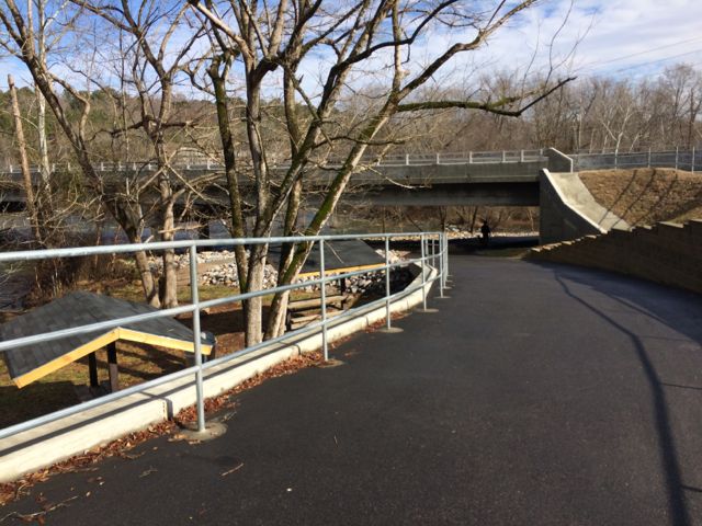
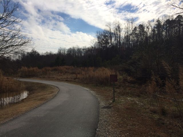 On this particular day the water level was elevated, so it was relaxing to hear the rushing water flow over a screaming 18-month old (yes, she screamed for about 95% of our run). Regardless, this trail is great in that it parallels the river offering great water views and glimpses of the native flora and fauna. We saw herons, beautiful budding red berry bushes (maybe winterberry shrubs) and tall native grasses. We passed under Falls of Neuse Rd and over small bridges. We also passed by the Bedford at Falls River neighborhood with greenway access to Falls River Ave and then turned around at the 1.5 mile mark, which is by the fork in the trail; keep left to stay on the greenway or stay straight for another access point to Falls River Ave and a greenway parking lot. The steady stream of foot traffic and proximity to made me feel secure about returning on my own and the relatively flat, wide trail might make it ideal for kiddo balance biking!


 When we reached the end of Abbotts Creek Trail we turned left north onto the Neuse River Trail for a bit before turning around. While on the Upper Neuse River Trail we passed the 2 3/4 mile mark and were impressed with the information guides about the floodplains and benches along the way. Our out and back run was a total of 3.2 miles and I look forward to getting back up here again to explore the southern half of Abbotts Creek Trail, which I think leads to the


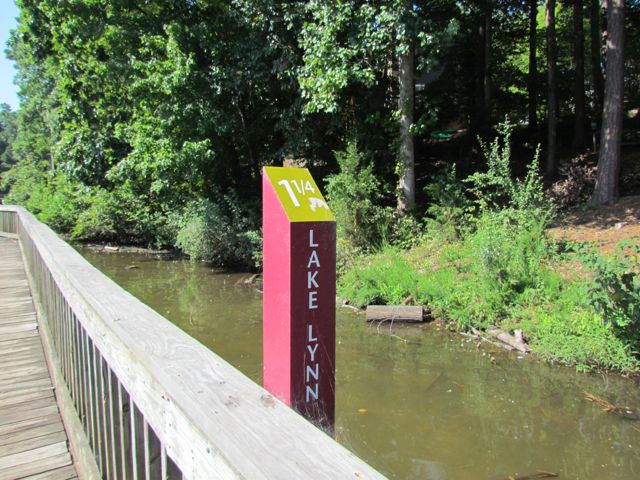 When I decided to run the City of Oaks 10k this past November, I used my toddler-free Tuesdays and Thursdays (thanks to preschool) to do my longer runs at Lake Lynn Trail. During these times I only had Claire with me, which meant I could run longer with the single BOB stroller. Pushing a double BOB stroller is exhausting!


