Neuse River Trail: MP 0 to 1.5

IMG_9816.jpg
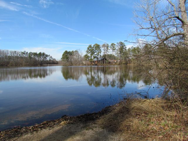
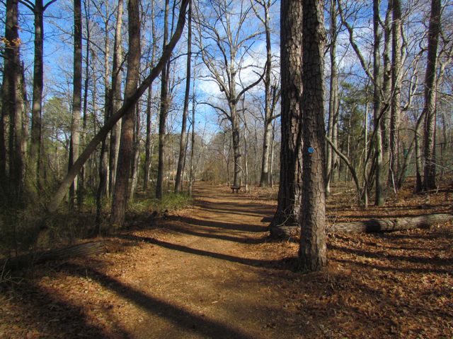
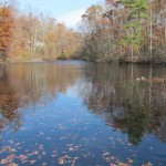
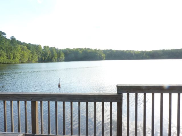
For the few days it’s been sunny and above 40 degrees this winter you could easily find us at a park or greenway soaking up the fresh air.  Even though we’ve explored a lot of the southern end of the Neuse River Trail, we hadn’t run along the northern portion (aka Upper Neuse Greenway) until this winter.  It’s a great location to get some exercise and then have a picnic along the shores of the dam.

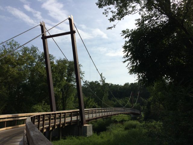
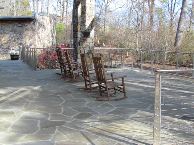
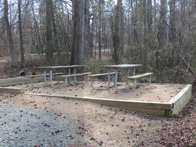
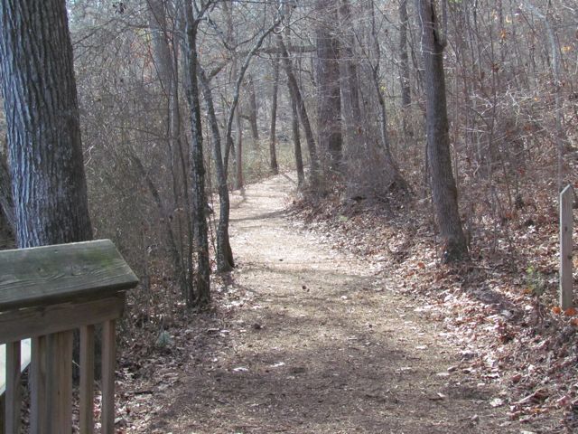
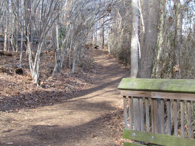
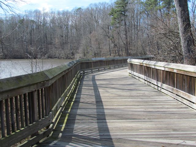
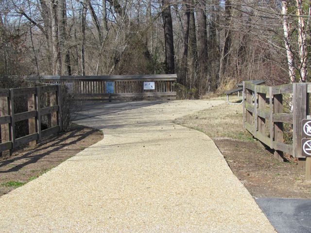
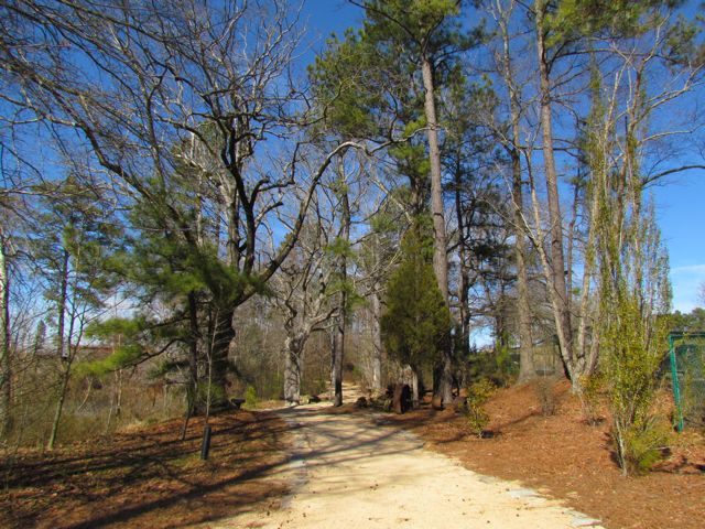
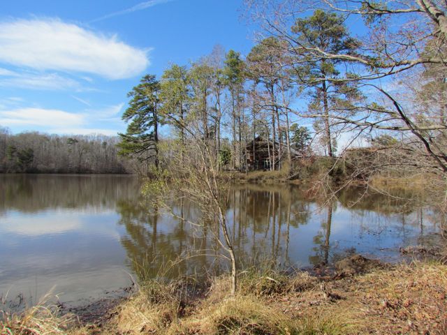
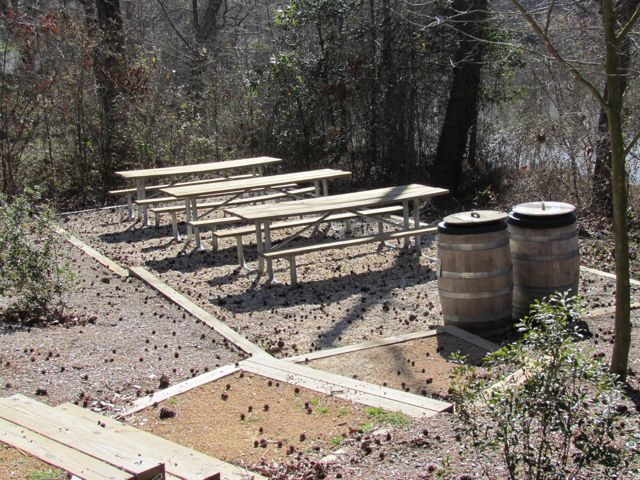
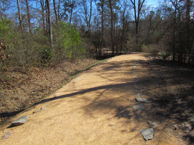
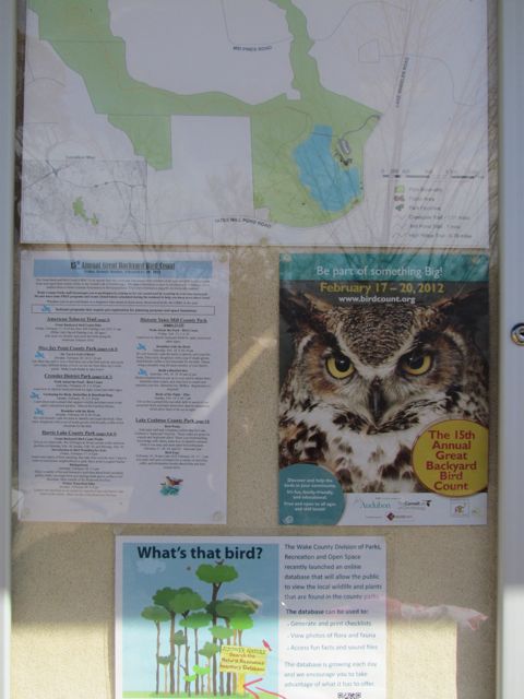
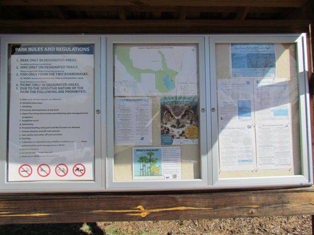
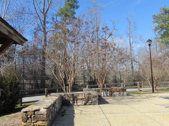
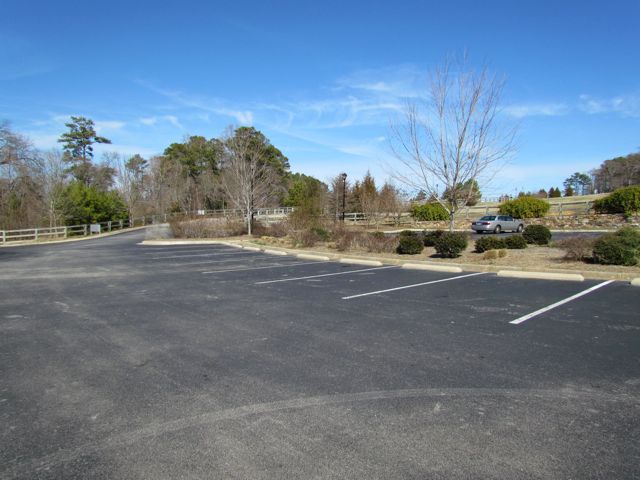
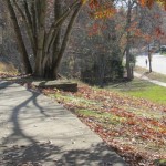
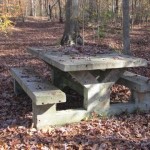
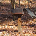
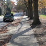
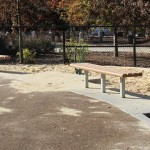
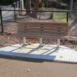
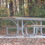
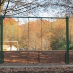
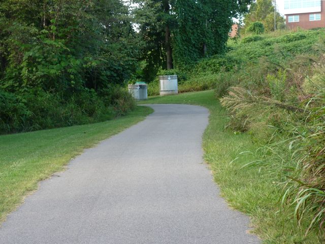
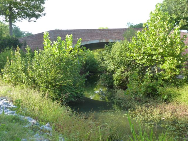
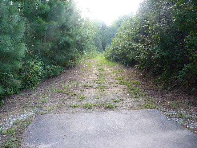
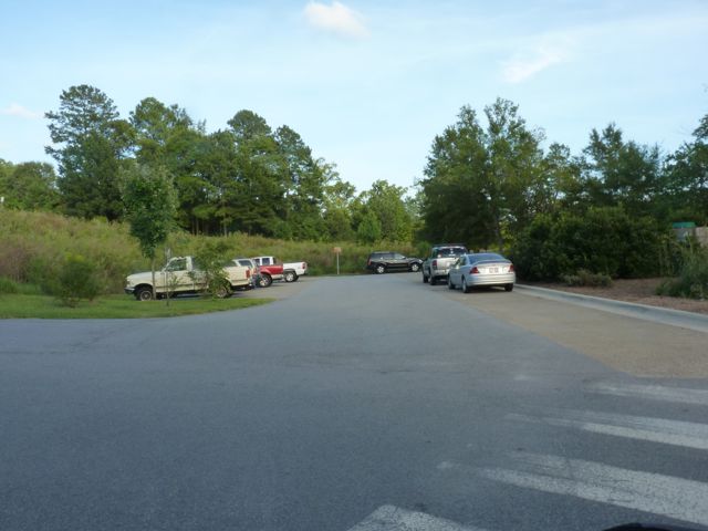
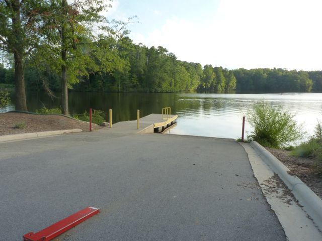
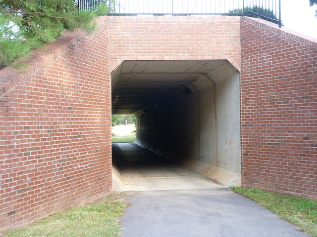
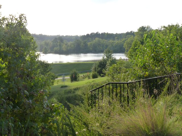
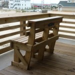
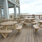
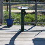
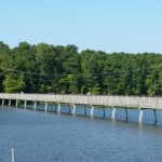
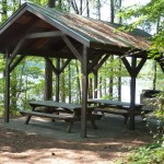
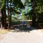
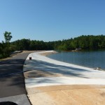
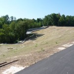
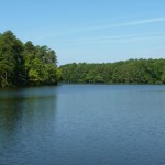
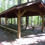
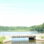
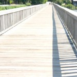
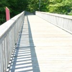
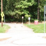
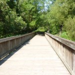
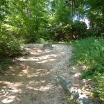
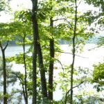
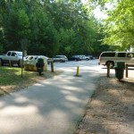
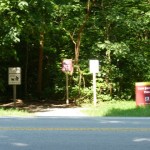
The Neuse River Trail is nearly 28 miles long and officially starts just south of the Falls Lake Dam.  We parked in the lot adjacent to the dam, which is near the intersection of Old Falls of Neuse Rd and Pleasant Union Church Rd.  From the parking lot, walk along Pleasant Union Church Rd and bare left onto the paved trail that goes under Old Falls of Neuse Rd.  As another parking option, turn right onto the service road before crossing the bridge over the Neuse River.  Follow the road 100 yards to the greenway parking lot, which has space for about 30 cars and is across from the canoe launch.  I prefer to park in the dam parking lot because it offers amazing views and has picnic tables for post-run picnics.

IMG_9828.jpg
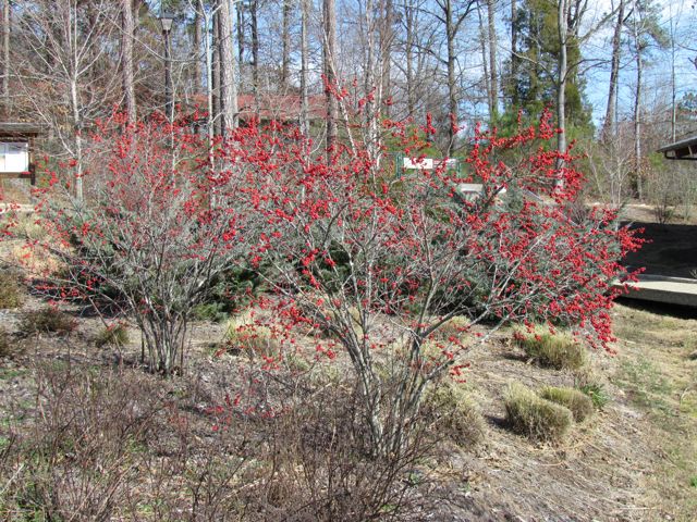
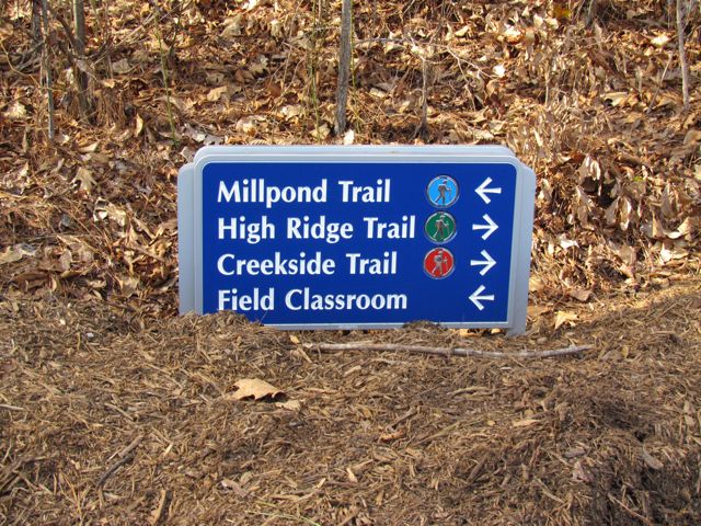
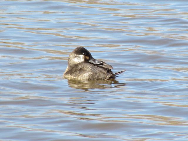
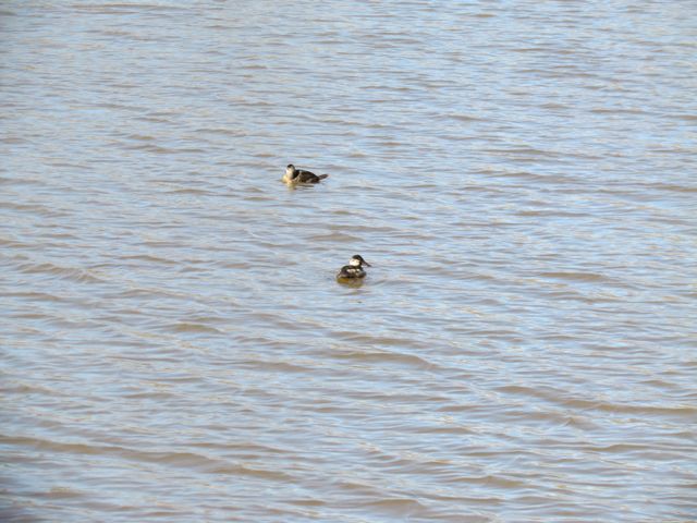
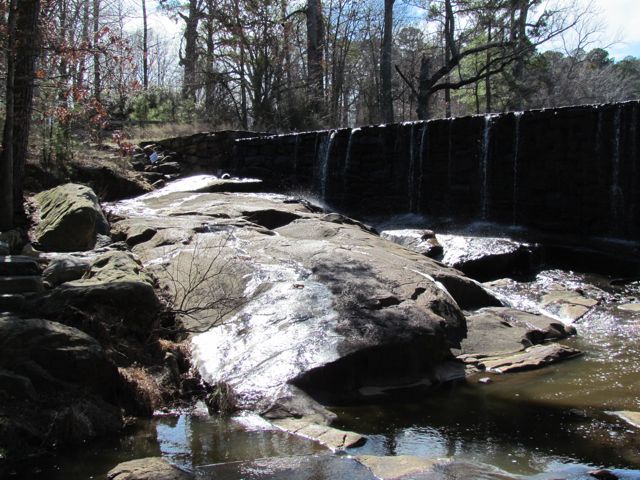
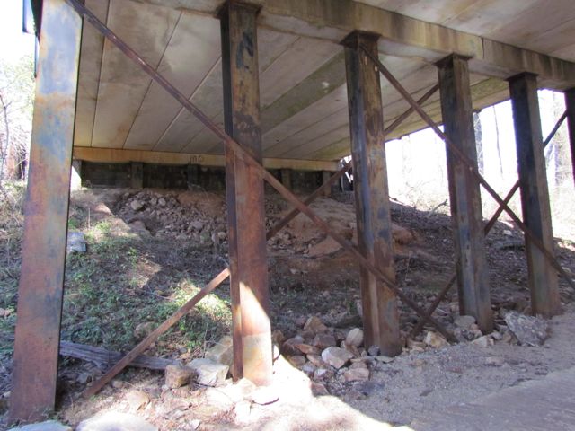
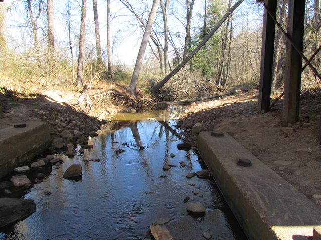
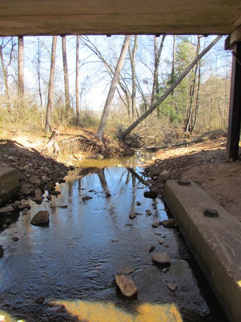
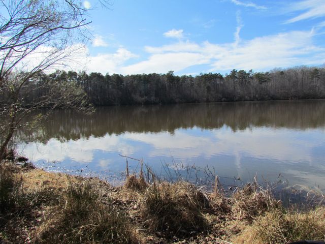
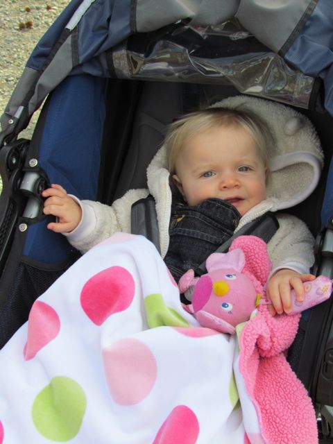
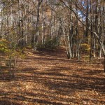
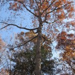
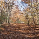
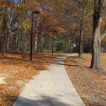
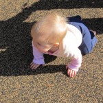
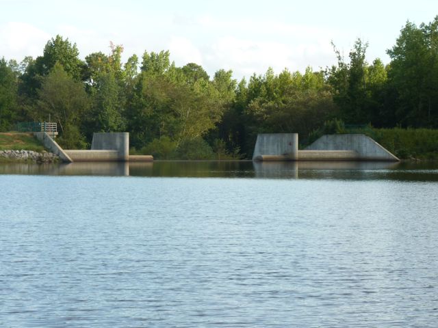
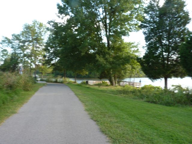
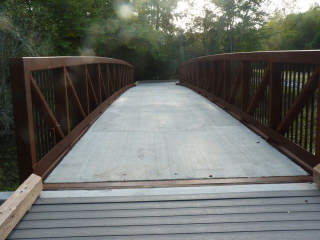
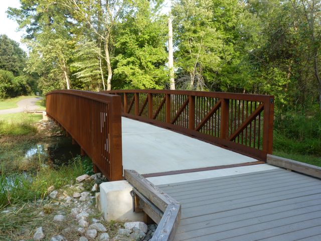
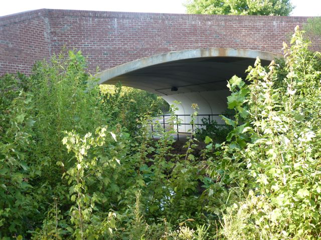
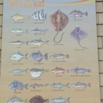
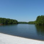
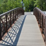
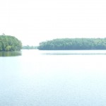
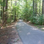
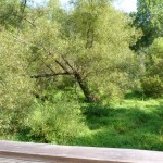
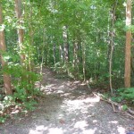
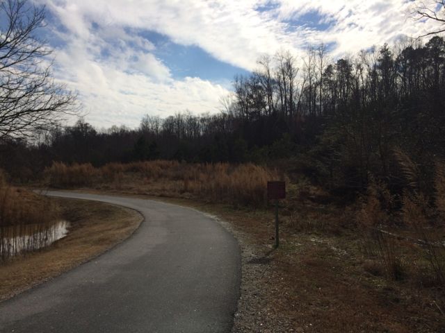
On this particular day the water level was elevated, so it was relaxing to hear the rushing water flow over a screaming 18-month old (yes, she screamed for about 95% of our run).  Regardless, this trail is great in that it parallels the river offering great water views and glimpses of the native flora and fauna.  We saw herons, beautiful budding red berry bushes (maybe winterberry shrubs) and tall native grasses.  We passed under Falls of Neuse Rd and over small bridges.  We also passed by the Bedford at Falls River neighborhood with greenway access to Falls River Ave and then turned around at the 1.5 mile mark, which is by the fork in the trail; keep left to stay on the greenway or stay straight for another access point to Falls River Ave and a greenway parking lot.  The steady stream of foot traffic and proximity to made me feel secure about returning on my own and the relatively flat, wide trail might make it ideal for kiddo balance biking!

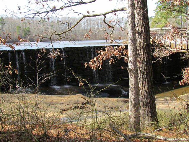
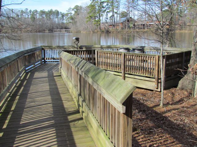
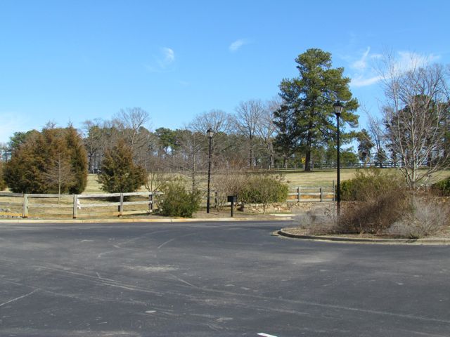
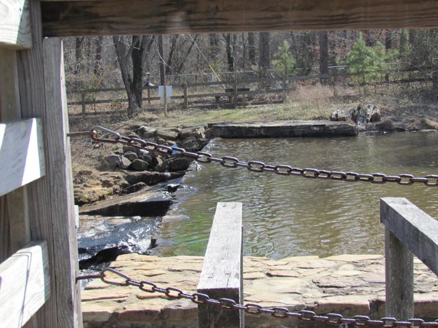
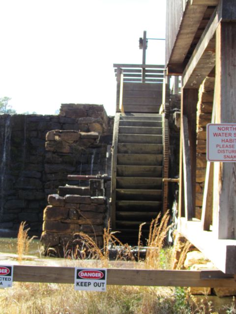
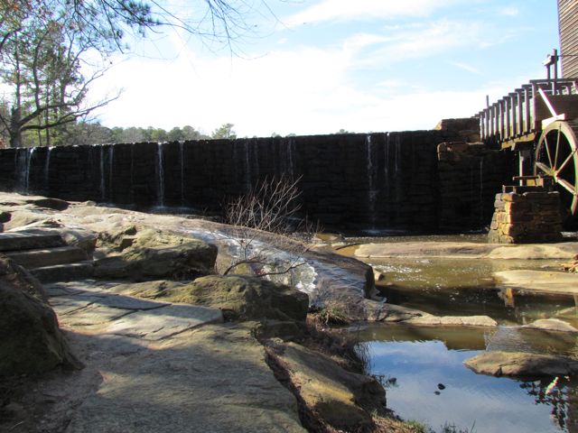
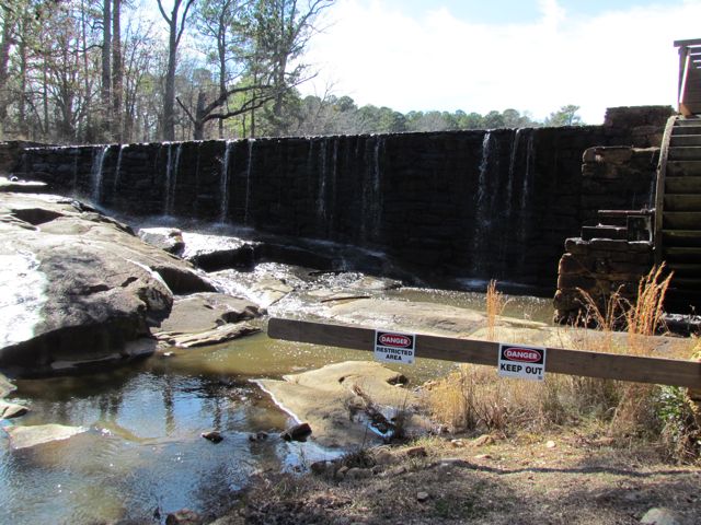
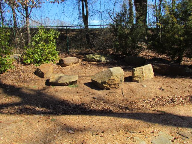
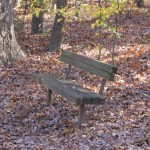
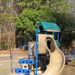
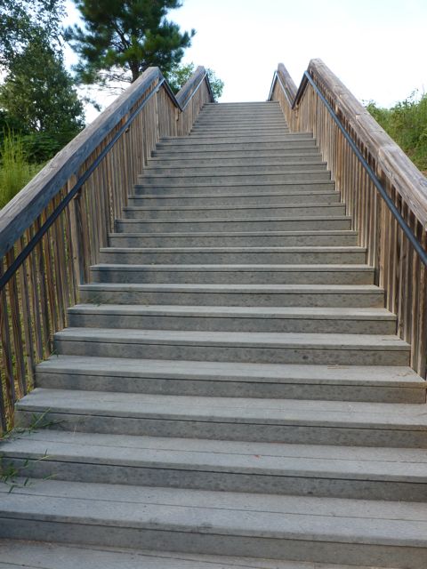
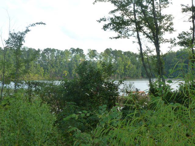
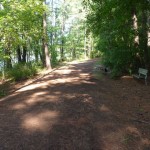
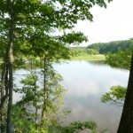
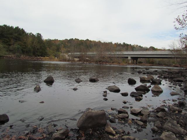
After finishing our run we enjoyed a picnic lunch near the dam and then walked down to the shore line for some good ol’ rock throwing.  If you’re still looking for something do after exploring the greenway and dam, hike up the nearby unpaved trail to the top of the dam for more gorgeous views and some playground time.

Additional Resources:
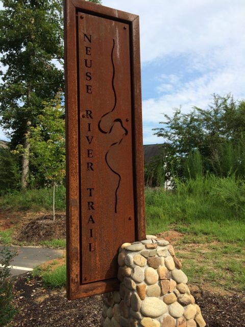
Thumbs up: safety of trail, beautiful views, relatively flat trail, abundance of parking lots

Thumbs down: nothing to report

Falls Lake Dam

IMG_4949
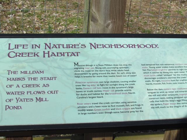
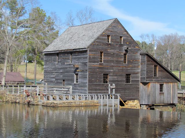
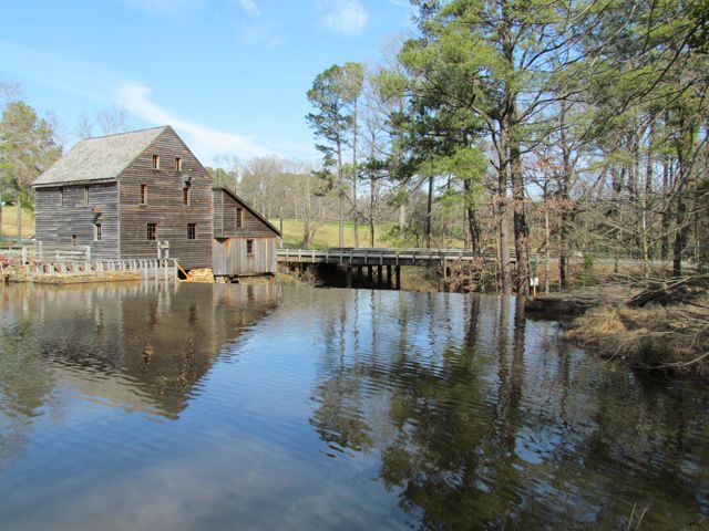
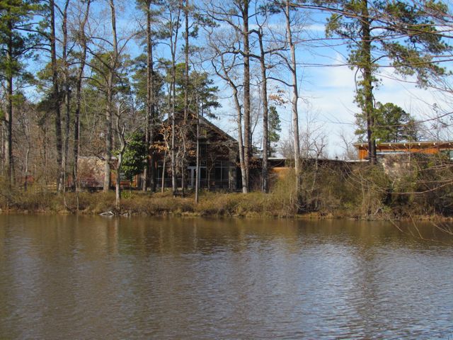
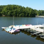
This fall we wanted to further explore Falls Lake so we set off with intentions to start closer to the dam and finish Day Hike A of the Mountains-to-Sea trail.  Falls Lake Dam is on the eastern side of the lake (see map) and has helped control flooding from the Neuse River ever since its completion in 1981.  Having previously hiked a portion of Falls Lake starting at Raven Ridge Rd we wanted to start closer to the dam in hopes of actually seeing it before the kiddos got too tuckered.

Unfortunately the main entrance gates to Falls Lake park were closed on this Sunday morning so we had to park in the small parking lot near Falls Center Management Rd/Falls of Neuse Rd intersection.  After a long walk into the park on the paved trail that parallels the road, the little ones in the group were restless for any trail hiking so we explored the areas around the dam including the (surprise!) playground instead.

IMG_4938
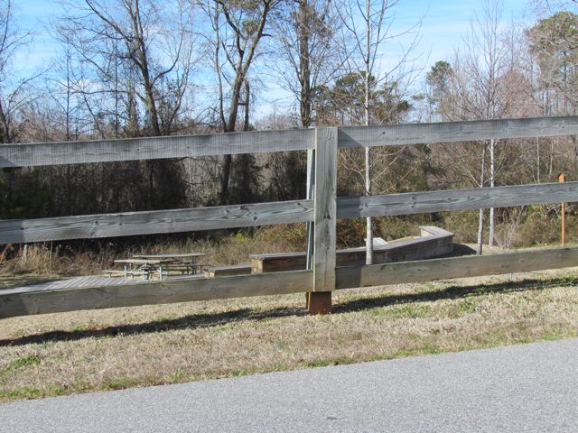
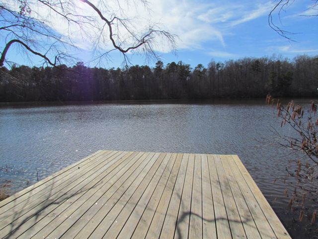
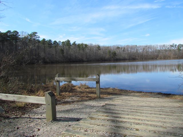
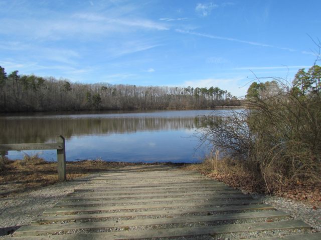
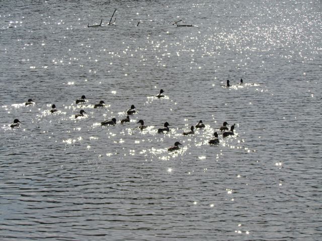
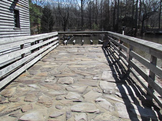
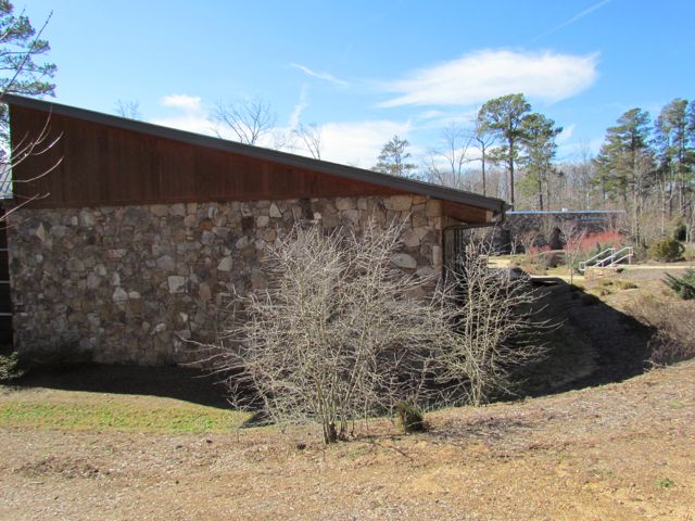
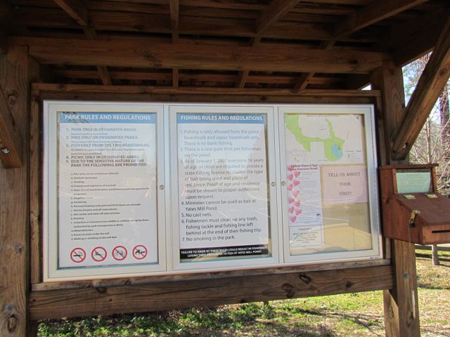
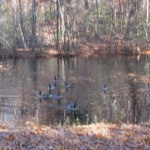
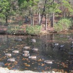
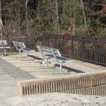
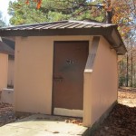
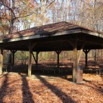
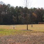
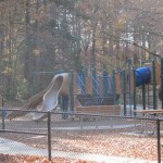
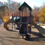
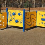
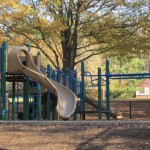
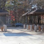
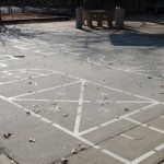
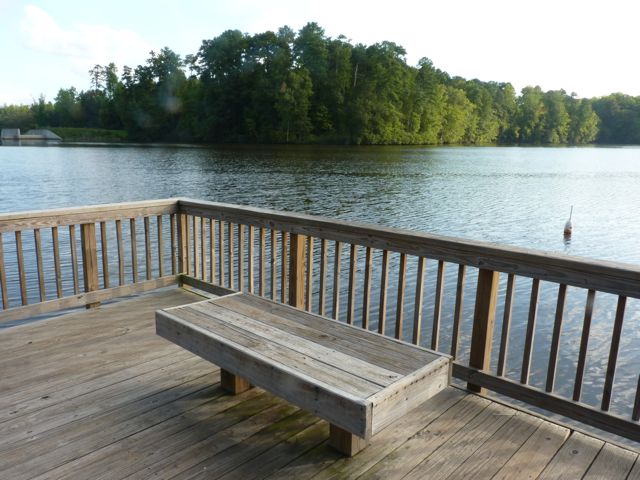
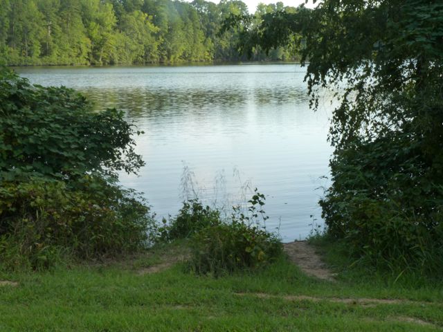
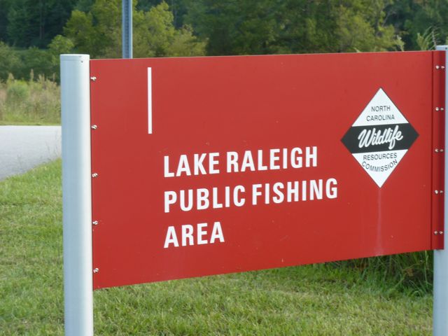
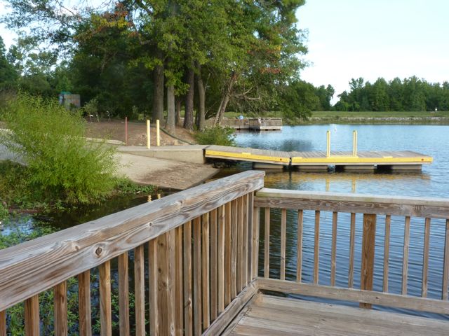
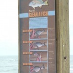
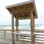
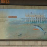
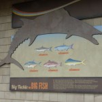
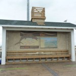
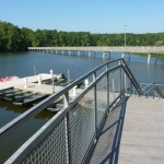
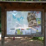
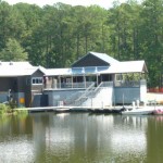
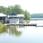
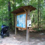
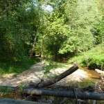
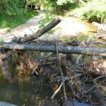
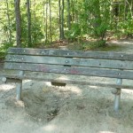
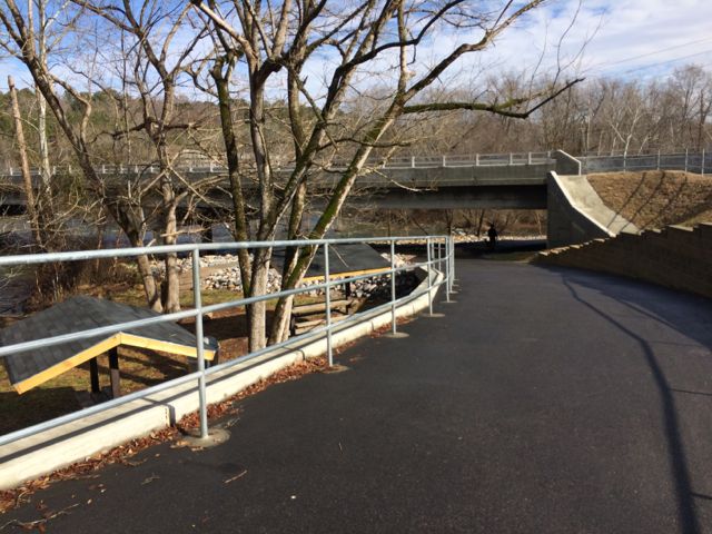
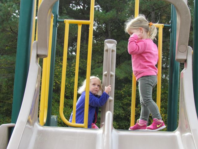
The playground is designed for ages 5-12 and includes a few slides, climbing structures, tic-tac-toe, and several nearby picnic tables and benches.  It’s a small playground, but the perfect size for a park with so many more activities.  After taking in the views from the top of the dam, we walked down the unpaved trail adjacent to the playground where we got up close and personal with the beginning of the Neuse River.  The girls enjoyed throwing rocks in the water while we saw fishermen and birds.  There’s also a small parking lot, canoe launch, restrooms, information map, picnic tables, and access to the start of the Neuse River Trail greenway at the bottom of the dam.

Even though we didn’t make it to our planned trail that day, everyone had a fun time whether it was on the playground, along the river bank, or finding furry caterpillars.  I look forward to attempting Day Hike A again sometime soon where we’ll park in the lot closest to the dam!

More Resources:

Thumbs up: views from top of dam, playground, considerable amount of picnic tables

Thumbs down: signage in park, nc state park information online lacks details (no mention of gate closure, playground, parking near dam)

Durant Nature Preserve

IMG_8283
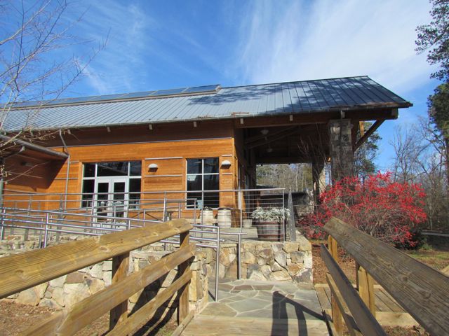
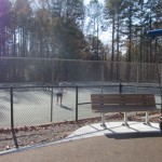
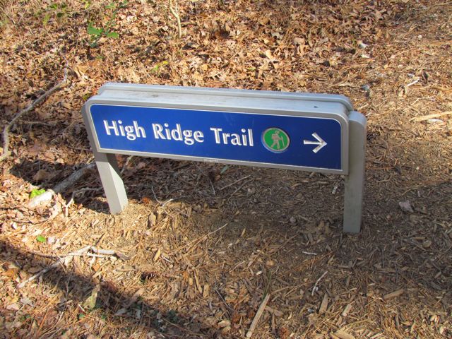
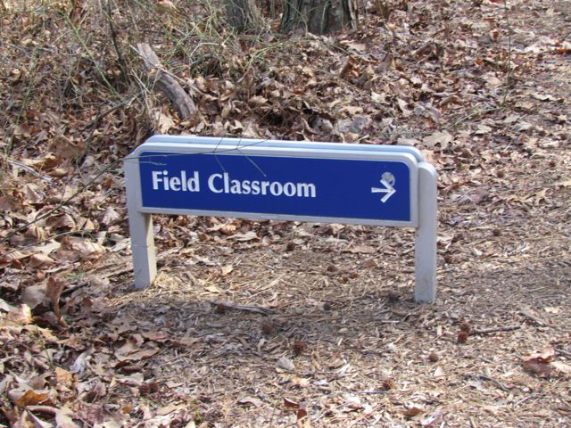
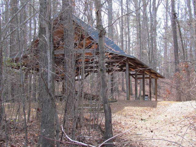
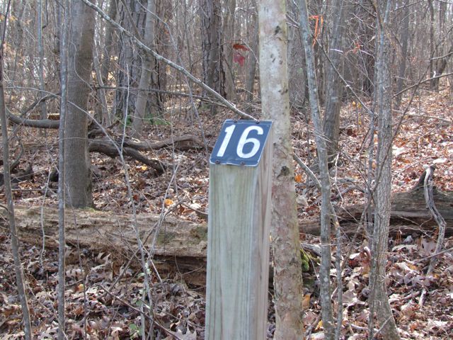
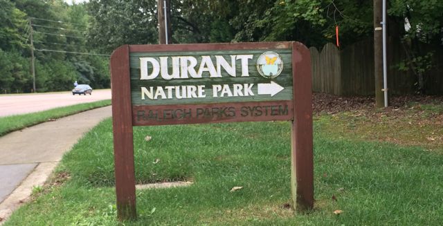
In early Fall we headed out to Durant Nature Preserve with some friends to enjoy their weekly Wee Walkers program (Thursdays from 10-11am).  Having never visited Durant Nature Preserve before I’m glad I attended an organized program that guides you and the kiddos on a short walk through the park because this nature park is huge!  Durant Nature Preserve is located at 8305 Camp Durant Rd in North Raleigh (north entrance is located off Camp Durant Rd and south entrance is located off Spottswood St).  According to the COR’s website, this park was originally known as Camp Durant and was the headquarters for the Occoneechee Council of the Boy Scouts until 1979 when the City of Raleigh purchased the land from the scouts and turned it into a nature park.  We parked in the parking lot near the park office at the north entrance.  Once everyone arrived (about 10-15 moms/kids total), we set off on our nature walk with our super friendly and knowledgeable guide.  For those with babies or early walkers, I’d recommend wearing the babes in a carrier as most of the trails are unpaved.

IMG_8271
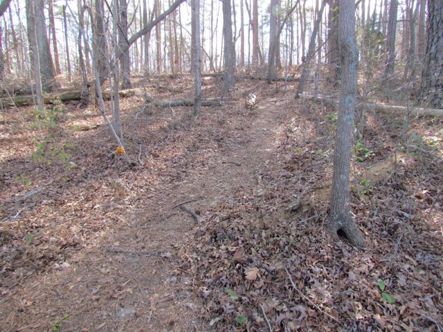
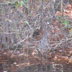
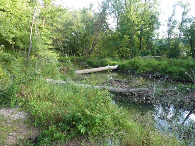
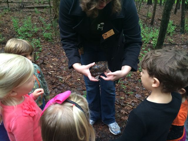
We hiked along the eastern side of the park following the Pine Ridge Connector, Pine Ridge Trail and Lakeside unpaved trails.  Our guide stopped several times along the trail to point out a variety of flora and fauna.  We saw a little bit of everything: wasp nests, leaf poppers, water striders, water frogs, mushrooms, mosquito fish, poplar tulip leaves, muscadine grapes, dogwood berries and a real turtle!  The kids (ranging in ages from under 1 to 5 years old) were most impressed by the turtle walking along the trail, but it’s been fun to see how Ashley gets excited when she sees dogwood berries in the backyard!  The neat part about the Wee Walkers program is that each program is different because it’s based on what’s going on in nature that week and it’s FREE…what a deal!

After the Wee Walkers program we explored the playground area and had a picnic lunch.  The nearby shelters were very muddy due to the recent heavy rains, but we made do.  The playground is for ages 2-12 and has a few slides, monkey bars, climbing ladders, a large sandbox with teeter totters and diggers, two tot swings, and two regular swings.  Also close to the playground area is sand volleyball, basketball and the public restrooms.

This post simply scratches the surface of all there is to explore at Durant Nature Preserve.  If you want more than just hiking, this seems to be a great park for camping, biking, birding and so much more.  I look forward to coming back again soon!

More Resources:

Thumbs up: Wee Walkers program, variety of hiking trails

Thumbs down: signage throughout park (we got lost heading back to our cars)

Neuse River Trail: MP 13.25 to 15 & Suspension Bridge

IMG_7529

While I’ll be at the beach over Labor Day week, I wanted to share a must-do item for exploring Raleigh over the holiday weekend.  If you’re looking for some exercise, flora, fauna and beautiful scenery, this portion of the Neuse River Trail is it – it has a suspension bridge, croaking frogs, majestic herons, and an old dam!

Most recently we explored the Neuse River Trail from milepost 13.25 to 15.  We parked in the small paved residential lot at 2894 Abington Ln in east Raleigh.  After a short run down to the trail, we came to the compass in the greenway and decided to head north for a bit in search of the huge suspension bridge (by looking at the online greenway map, it looks like you cross the river just north of here).   Within 1/4 of mile we came upon the suspension bridge at milepost 13.5, which seems to come out of the middle of nowhere!  It seems so unique and breathtaking to me to have a suspension bridge on the greenway; I’m pretty sure I got goosebumps (granted it was 100+ degrees outside) and felt very sentimental for my city!

IMG_7513

We ran another 1/4 mile north until milepost 13.25 and then turned around and headed south.  We ran back over the suspension bridge where we saw some fisherman casting lines.  Further along we passed residential homes to the west and wetlands to the east with several overpasses in between and white barn fencing in certain areas that gave this trail a farm-like feeling.  There are more stretches of sunny parts along this trail than what I’m used to, I think mostly due to the neighborhood developments; it added some intensity to this hot summer run so don’t forget extra water!

We ran south until the Milburnie Dam, which we have explored in the past.  Again, it’s amazing to see what parts of Raleigh you’ll miss if you don’t get on foot!  So get out and explore this weekend!

More Resources:

Thumbs up: beautiful views, wetlands with information signs, suspension bridge, parking lot with access to trail, mile markers

Thumbs down: nothing to report

Lake Wheeler Park

I had never been out to Lake Wheeler Park until this summer and I can’t wait to return.  For the most part, Lake Wheeler is similar to Lake Johnson except that it doesn’t have a paved trail surrounding it, but does have much more extensive boating, picnicking and playground areas.

Lake Wheeler Park is located at 6404 Lake Wheeler Rd in southwest Raleigh.  Upon entering the park, you’ll notice the 650 acre lake to the south.  As you meander through the park on the main road, there are several spots along the way to stop and fish or shelters for picnicking.  Continuing on you’ll pass large open fields with larger shelter areas and finally arrive at the large parking lot near the boat house.

We parked in the main parking lot and headed down to explore the boats and docks at the lake.  This particular day was extremely windy so the water was pretty void of any boaters.  We still managed to walk on the docks and talk about the different boats we saw (presumably for rent) – paddle boats, sunfish sailboats, kayaks, jon boats, etc.  For a complete list of boats for rent or launch visit the Lake Wheeler rental website.  You can also learn more about the depths of the lake (which get to 25ft in some spots) by visiting the information boards near the boat house.  Follow these guidelines for fishing in and on the bank of the lake.  Across from the boat ramps is the park’s very impressive boat storage area.  In addition to renting various boats and fishing, you can also take several boating classes offered at Lake Wheeler, which start back up in the spring.

Next we explored the boat house area, which consists of a large veranda (covered and uncovered) overlooking the water complete with picnic tables and rocking chairs, indoor rooms for classes and rental, a concession area, restrooms, and beautiful landscaping leading up to the playground area.  The veranda, indoor room and deck are all available for rent for special events.  Ashley especially loved sitting in the rocking chairs while we talked about the different things we saw near the water (ducks, boats, people, etc).

After visiting the boat house, we explored the nearby t-shaped dock, which offered some great photo ops.  It has several fish cleaning spots and is completely fenced in, making it a fun place to explore for toddlers (provided no one else is around trying to fish).

Next we headed back to the playground, where we spent most of our morning.  This is a great place for playing and then having a picnic, as there are several picnic tables and even a small shelter and charcoal grill in the vicinity.  The playground offers a few areas for early walkers to play on, but is mostly geared towards the more steady walkers.  There aren’t too many openings in the playground, making it easier for nervous moms to let toddlers run free in the playground.  The playground has big-kid swings and low swings for toddlers who can hold onto the chains, but no bucket tot swings.  It has a wood chip base and has several slides, tunnels, and ladders at different levels making it a fun and interesting place to play.

Finally, we made our way over to the large open field to “throw” our frisbee.  Being that we visited the park on the hottest day of the summer we didn’t last too much longer, but enjoyed a fun morning with lots to look at, talk about and explore!  I can’t wait to visit again and do some boating.

For more info about this park including boating, fishing and rental opportunities visit the City of Raleigh website.

Thumbs up: variety of boating activities, playground area, vicinity of picnic tables near playground, views from the boat house

Thumbs down: signage throughout the park

Historic Yates Mill County Park


This post originally appeared on Southwestraleigh.com where you can learn more about how to live, work, and play in the Creative District.

Even though the Historic Yates Mill County Park has only been open for less than six years, Yates Mill dates back to the early 1800’s and is the only gristmill still standing in Wake County.  Throughout the mill’s history it changed ownership about a dozen times and the park is now owned through a partnership between NC State, Yates Mill Associates, Wake County, and the NC Dept of Agr & Consumer Services.

Historic Yates Mill County Park is located at 4620 Lake Wheeler Rd, about 3 miles south of I-40/440.  After winding down a short entrance road you arrive at a large parking lot with a beautiful research and education center as the backdrop.  The A.E. Finley Education and Research Center is a beautiful stone and wood building that contains an exhibit hall, classrooms, auditorium, and back porch complete with rocking chairs overlooking the pond.  They offer programs for people of all ages and here are just a few upcoming events to highlight:

After you’ve finished exploring the Park Center, head to one of the trails for a walk out and around the pond.  We explored the Millpond Trail (1 mile), which loops around the pond offering breathtaking views of the wildlife, water, and flora.  On this trail, you’ll pass by the old mill and dam, boardwalks along the pond that are great for fishing, several picnic areas, the Field Classroom, and tree markers that correspond to the “Tree Identification Trail” brochure at the Park Center.  Even though it’s an unpaved path, it’s quite wide and flat but not suitable for strollers in all areas.  Being a beautiful sunny day, I passed quite a few people jogging the trail too.  Whatever you do, be sure to stop by the mill yard and dam and take tons of pictures!

The two other trails we didn’t have time for today are the High Ridge Trail and the Creekside Trail.  The trail map shows that High Ridge Trail is more strenuous and about .78 miles and connects up with the Millpond Trail.  Creekside Trail is an out and back unpaved trail that is 2 miles in total length.

This park is jam-packed with activities and sights, but also has several peaceful areas if you just want to relax a bit.  Try your luck fishing from one of the boardwalks, enjoy a picnic lunch at one of the many spots along the Millpond Trail, or take a nap in the rocking chairs on the back porch.  So, whether you came for excitement and learning or quiet time and reflection there’s something for everyone.

Thumbs up: photo ops, serenity, educational exhibits, pond, mill and dam

Thumbs down: trail maps don’t indicate whether paths are stroller-friendly (thanks to the sweet mom-daughter team that helped us out)

Eastgate Park

So, I’ve never had such a relaxing Thanksgiving week in a long time.  Our Thanksgiving holiday started by visiting Eastgate Park earlier this week. It was extra special because we were able to spend it with Bill, who took off for the holiday week. With us around I’m not sure it was much of a relaxing vacation for him, but we enjoyed having him around all week.

Eastgate Park is located at 4200 Quail Hollow Dr, not far from North Hills Mall.  The parking lot is located on Quail Hollow Dr, but side-street parking is also available on Wingate Dr.  After parking in the parking lot, you can head to the left towards Cooper’s Pond.  This a small pond with an small overlook area and opportunity for fishing or visiting with the fauna.  Around the pond, you’ll also find a cleared path and covered pavilion with picnic tables and charcoal grill.  The path this week was covered with large leaves, perfect for great photo ops!

Eastgate Park has an unstaffed community center that is available for rent and commonly used for recreational programs.  There is also a large open field with several soccer goals, basketball courts, and tennis courts.  We spent a lot of time at the playground area this particular day.  This playground is really nice for a few reasons: 1) the spongy surface, 2) the area is fenced in, and 3) both playground areas are near each other and have several swings.  Even though Ashley is only 8 months old, she thoroughly enjoyed crawling around on the spongy surface and swinging on the tot swings.  I consider both features to be crucial if you have a non-walking child!  Babies and mulch just do not mix!

The playground has swings, slides, and climbing areas.  There is also a sandbox and musical area in the smaller child playground.  Another great feature of this playground are the benches lined around the perimeter.  It’s a great place for parents to enjoy watching their children play.  Down from the playground is a collection of covered picnic tables and sidewalk games like four square and hopscotch.

Thumbs up: sidewalk access to park, pond area, photo ops, playgrounds, benches near playground

Thumbs down: unattractive community building

Lake Raleigh

Benches on the fishing pier

This post originally appeared on southwestraleigh.com, where you can learn more about what a great place South West Raleigh is to live, work, and play.

The last time I was at Lake Raleigh (unknowingly) was during last year’s Polar Plunge 5k race with the Raleigh Jaycees.  The race started near the lake, meandered through Centennial Campus, and then ended back at the lake where several people plunged into Lake Raleigh…in February!  All for a good cause nonetheless.

Visiting Lake Raleigh on a cool-summer-almost-Fall-time day is a much more practical way to explore the lake.

Open to the public, Lake Raleigh is located on NC State’s Centennial Campus, nestled between college buildings, corporate/government/non-profit partners, and residential space.  Like any place you visit on a college campus, parking can be challenging. There is a small parking lot at Lake Raleigh but it requires an NC State parking permit Mon-Fri from 7am – 5pm. You can pick up a $15.00 visitor day pass at the Transportation Department – 2721 Sullivan Drive, Administrative Services 1 bldg. Alternately, use the Park Mobile App and pay for parking at the Poulton Deck (across the street from Hunt Library) on Partners Way. The cost is $3.00 for the 1st hour; $2.00 every hour after that or maximum of $15.25 for the whole day.

Lake Raleigh
A quiet fishing spot down from the piers

Fishing is permitted in marked areas and non-motorized car-top boats such as kayaks or canoes are also allowed in the lake.  There are two fishing piers near the entrance with long benches, perfect for enjoying the views or waiting for a bite.  The paved trail is part of the Centennial Greenway, which is a work-in-progress.

The trail extends in both directions past the main entrance, but does not loop around the lake.  If you walk to the right, you’ll pass other popular fishing spots, wetlands, The Shores residential area, and a bridge perfect for taking photos.  If you walk to the left, you’ll pass gorgeous views of the lake, the SOUL community garden, the 9-hole par 3 frisbee golf course, and an exercise station before coming to the tunnel under Main Campus Dr.

As noted above, the trail is part of the Centennial Greenway, which is a fitness trail and educational tool for the campus community.  Little mowing is done around Lake Raleigh to allow the natural plants to thrive.  Future development of the greenway will connect Centennial Greenway to the Capital Area Greenway at Lake Wheeler Rd and Lake Johnson.

Thumbs up:  beautiful views, fishing, boating, frisbee golf course

Thumbs down:  parking, lack of area map near main entrance

Jennette’s Pier

Last week I spent a wonderfully relaxing week with great friends and family in Nags Head.  Everyday was at least 85 degrees and sunny except for the last day, so my mom, sister, bro-in-law, Ashley and I decided to check out the newly renovated Jennette’s Pier at MP 16.5 in Nags Head.  For someone who isn’t interested in fishing, I fell in love with this pier!  From the magnificent views of the Atlantic Ocean, to the history and science lessons scattered throughout the pier, to the spirit of the fishermen… you, too, will fall in love.

The pier, on property originally owned by the Jennette family, was first built in 1939 for $6,000 and extended 740 feet.  It collapsed in 1943 and was rebuilt after WWII in 1947.  Since then, there have been several repairs due to storms and hurricanes, most notably in 2003 when Hurricane Isabel came through and destroyed a large portion of the pier.  Before then, the Jennette family had sold the pier and then the NC Aquarium Society (a division of the NC Dept of Environmental and Natural Resources) purchased it in 2003.  Construction of the new pier began in 2009 and was finally completed earlier this year.

Before going onto the pier, you’ll pass through the main building, which contains the future aquarium, educational programs, and gift/convenience shop.  The shop is filled with children’s books, stuffed animals, and prepared food and drinks.  A digital tower highlights educational programs, daily temperature and tidal current info, fishing reports, and history about the pier.  There is no fee to walk onto the pier, but there is a suggested $2 donation.  The daily fishing rates are as follows: $12 adults, $6 children under 12.  Additional fishing fees can be found here.

The new pier cost $25 million and has 257 concrete piles installed between 35-45 ft deep.  The pier extends 1000 feet, where the water is about 25 ft deep.  It is a grand structure, to say the least.  As you walk along the pier, it’s easy to get lost in the conversation among the fisherman, the sounds of the crashing waves, and in the educational information about tidal currents, pier etiquette, wind power, marine mammals and birds, and surfing, to name a few.  You’ll also see fish plaques throughout the pier showcasing the various sponsors.  The sounds from the three wind-powered turbines support the pier’s “green” statement.

On the second story of the pier is a large reception room available to rent for private events.  It has a plasma TV, floor-to-ceiling fireplace, and gorgeous globe-like chandeliers.  The wrap-around porch with rocking chairs provides 270 degree views of the pier and ocean.  Chair sponsorships are also available.

So, next time you’re at the Outer Banks be sure to check out Jennette’s Pier with your family.  Whether you’re there to do some fishing or just exploring the pier, there is great fun for everyone!

Thumbs up:  beautiful views, educational programs, gift/convenience shop, informational boards throughout pier

Thumbs down:  nothing to report

Lake Johnson Park

Picturesque. Serene. Beloved. All words to describe my recent visits to Lake Johnson Park.

Lake Johnson Park is located in the heart of southwest Raleigh at 4601 Avent Ferry Rd. Its popularity is evident with the many parking lots scattered throughout the park. On two of the mornings I visited, I had to loop around the lot a few times before a spot opened up. Other parking areas are highlighted on this map and can be found further down Avent Ferry Rd on the left, off Lake Dam Dr, at Athens Dr High School, or at Lake Johnson Pool.

The main entrance is where you’ll find the large veranda, deck, conference room, concessions, restrooms, rentals, live bait/tackle vending machines, and the boat put-in area. The veranda, conference room, and deck are available for rent. Paddle boats, jon boats, sunfish sailboats and canoes/kayaks are also available for rent. Rocking chairs along the perimeter of the deck provide peaceful views of the lake. There are also several picnic tables and information boards highlighting several of the unique park programs (boot camp, nature photography, fly fishing, sailing). Even though most have already begun, the fall programs such as the kayak and canoe lessons for ages 12+ are starting soon. Call 919-233-2121 for more information. Stroller Strides also runs fitness classes for moms/dads with kids on Tues/Thurs mornings and is beginning a mom/dad 5k training program on Friday, Aug. 26th.

Avent Ferry Rd splits Lake Johnson in half and there is a paved trail loop on the eastern half and an unpaved trail loop on the western half. The trail is the Lake Johnson Segment of the Walnut Creek greenway trail. Park maps can be found at several of the parking areas, but if you head east on the trail from the main entrance you’ll find a helpful map detailing distances and features of the park.

Distances around the park:

  • West Loop (unpaved, prohibited to biking) = 2.15 miles
  • East Loop (paved) = 2.75 miles
  • Full Loop = 4.33 miles
  • East to west loop from the bridge = 1.32 miles

East Trail – This is a wide, paved path perfect for biking, strolling kids/dogs, walking, and running. The trail is enveloped in large trees that provide great shade. You’ll find beautiful views of the lake throughout this trail, especially along the dam and boardwalk. You’ll also pass a few benches, swings, and shelters for rent along this trail. Shelter 2 has two picnic tables and a large charcoal grill and Shelter 4 has four picnic tables, several benches, and a large charcoal grill. Magnolia Cottage is a medium-sized building tucked deep in the woods that can also be rented for events. If you head clockwise on the trail from the main parking lot the trail starts off flat and then gets rather hilly after crossing the dam.

West Trail – This is a fun trail for hiking or trail running. Bikes are prohibited and I would recommend using a Baby Bjorn or back pack if bringing an infant/very young child. Use caution on the trail, as it is mostly a narrow, hilly, dirt trail with roots covering the path. Nature photography opportunities are galore on this trail. You can also access Lake Johnson Pool from the West Trail. Even though we didn’t have time for a visit inside the pool, from the outside there looks to be a spray garden, baby pool, and main pool with lap lanes and free swim area.

After a two year hiatus from visiting Lake Johnson Park until last week, I’ve been back three times and it is quickly becoming a favorite. Between the scenic views, boating opportunities, great running trails, and safeness of the area it’s a must-visit park!

Thumbs up: shady trails, scenic views, condition of paved trail, boating opportunities, security, facility rentals, mile markers along East trail, peacefulness

Thumbs down: confusing signage (especially along West Trail)

This post originally appeared on soutwestraleigh.com, where you can learn more about what a great place South West Raleigh is to live, work, and play.