 Last month good friends invited our family to their mountain cabin along the South Fork of the New River near West Jefferson, NC. Though this was my first time on this river in NC, being back on the New River reminded me of past trips whitewater rafting through West Virginia or lazily tubing the New River Junction near Blacksburg, VA. We made those trips before we had kids so it was fun to share this trip with our kids and new friends we’ve met since having kids.
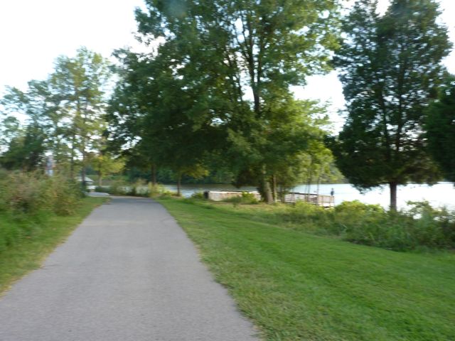
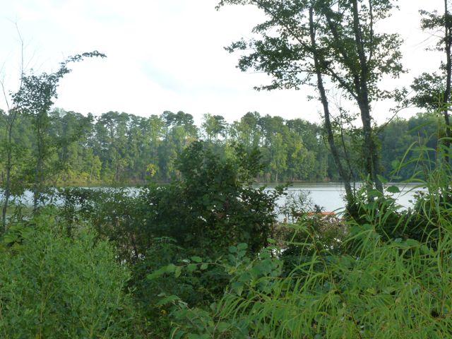
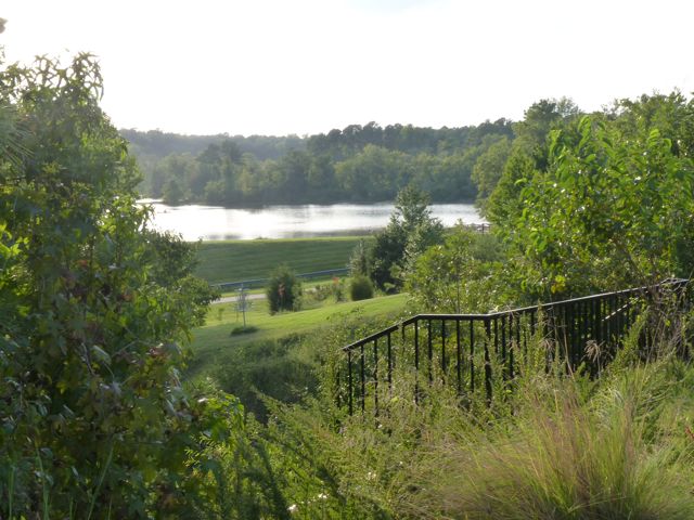
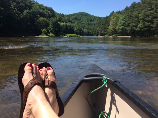
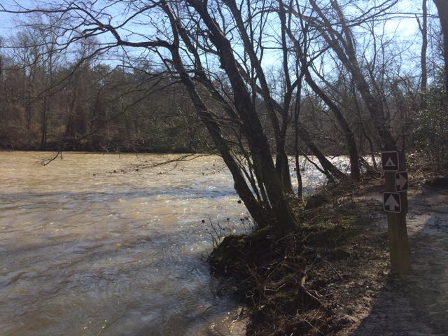
The New River is unique in that it flows south to north and is believed to be one of the oldest rivers in North America, and maybe the world. This ancient river begins in the mountains near the TN-NC border, flows north through NC, VA and WV where it joins with the Gauley River (I’ve always wanted to raft during the fall release dates) to become the Kanawha River and eventually flows to the Gulf of Mexico via the Ohio & Mississippi Rivers. Portions of the New River in NC flow through different access points to the New River State Park where you can camp, hike, canoe, kayak, fish, or any combination of those. While we spent a lot of our weekend exploring the private area around the cabin, wading in the family-friendly river, or teaching the kids to kayak, my friend Annie and I got out for a few hours on Saturday afternoon for a relaxing canoe trip.
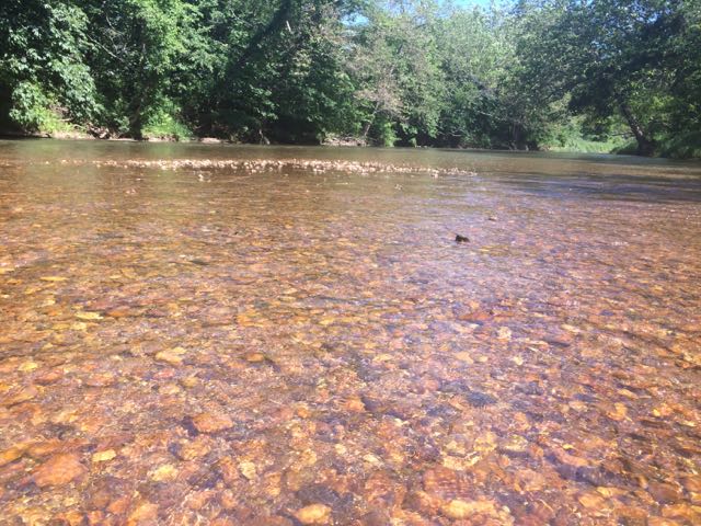 After an exhilarating drive down one-lane gravel roads in an old Chevy truck with a canoe in tow we arrived at a small put-in near the intersection of Dog Creek Rd and Joe Little Rd. The bank is steep and the pathway to the water is narrow and overgrown on the sides, but it made for a quick water entrance. Joe Little Rd is a narrow one-wayish road, so use caution when driving. It was a beautiful day to be on the river so we passed quite a few tubers, kayakers, and fishermen. The water was pretty brisk, so it felt good to be dry in the canoe. Along our way we passed Wootens Mill on Dog Creek Rd, which is no longer in service but dates back to the 1770s. We also passed the Wagoner Access portion of the New River State Park on the south side of the river. We saw lots of tents set up for weekend camping and canoe put-in areas.
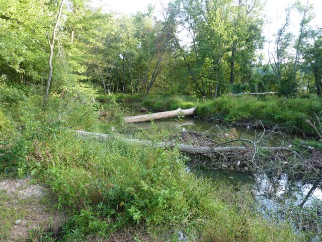
We made a quick pit stop back at the house to refill our cooler before heading further upstream (remember, the river flows south to north). We made our way over a few mini rapids and shortly passed the River Bend campsite area of the New River State Park that features primitive canoe-in only camping. With the exception of the flowing water and birds (and our girl talk), the river is void of any other sounds as it snakes through the Blue Ridge Mountains. After awhile we pulled the canoe out near a shallow rocky area to take a break. The river rocks feature those smooth, round shapes so we easily laid down in the water to chill. After a few more minutes of deciding we needed to start a yoga retreat on the river we paddled some more to a popular swimming hole. We pulled the canoe out near a small island and swam to the large rock to jump into the deep water below. It was heavenly!
After paddling a bit more we called our ride home as we reached the take-out spot near Absher Rd/Gentry Rd Bridge. It was late afternoon when we got out, so we had to wait a few minutes before we could pull out the canoe. With stops, it took us about 3 hours to go about 6 miles on the river. With its gentle, shallow waters and tranquil rapids the South Fork of the New River offers so many family-friendly or beginner adventures. The river’s beauty is something to experience first-hand and I can’t wait to get back here again!
Additional Resources:
- New River State Park map – includes paddling times/distances from different access spots
- New River State Park
Thumbs up: lots of shallow wading spots for little ones, camping/canoe options at New River State Park, beautiful scenery along river, river’s beauty and tranquility, gentle and mild rapids are great for families and beginners
Thumbs down: nothing to report


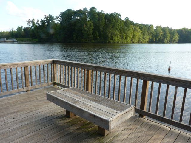
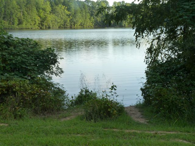
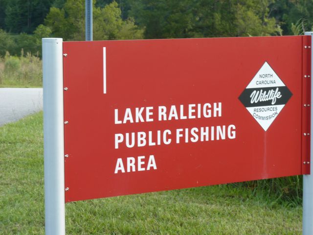
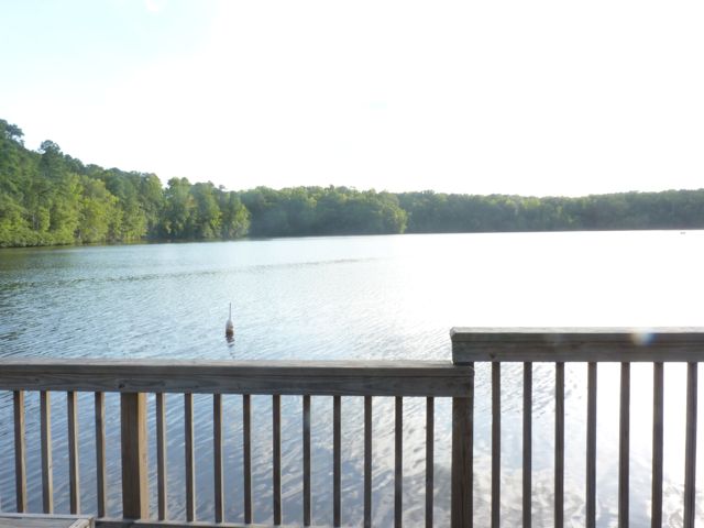
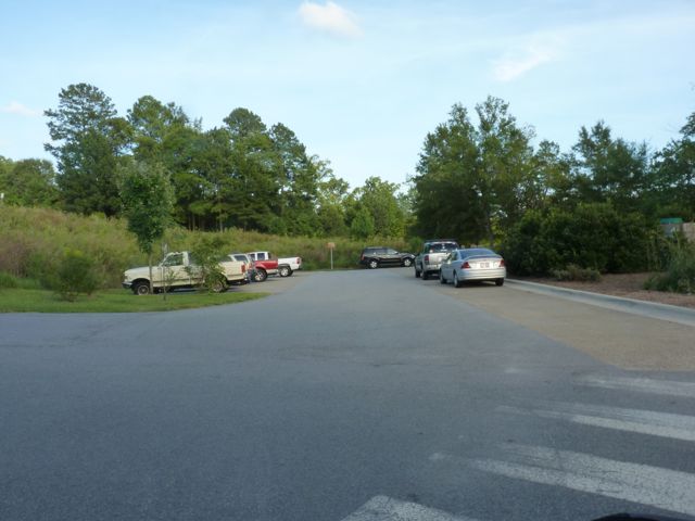
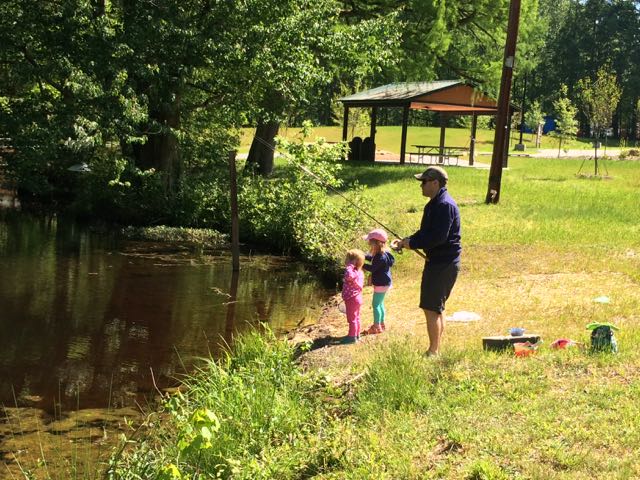 One Sunday at the end of April we headed out to Wake County’s newest park, Robertson Millpond Preserve for some fishing. Not knowing what to expect from this new park, we quickly discovered that Robertson Millpond Preserve is a local natural refuge for recreation and relaxation. Its main attraction is the blackwater cypress-gum swamp, making you feel transported to the lowcountry!
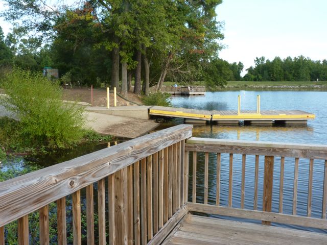
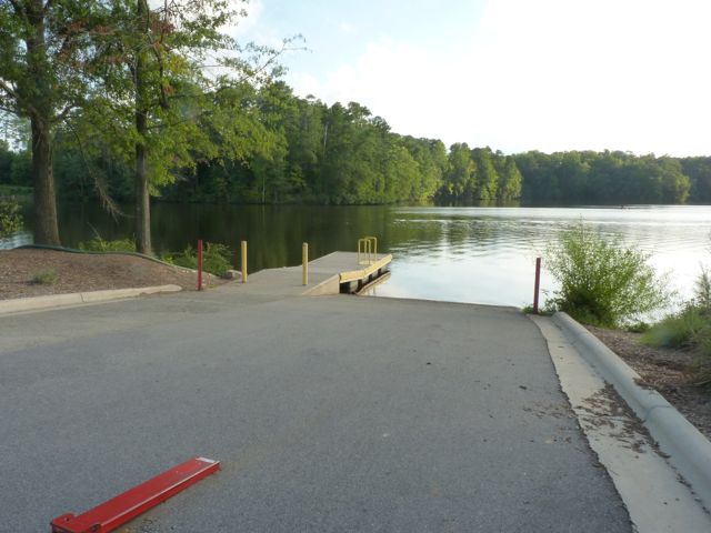
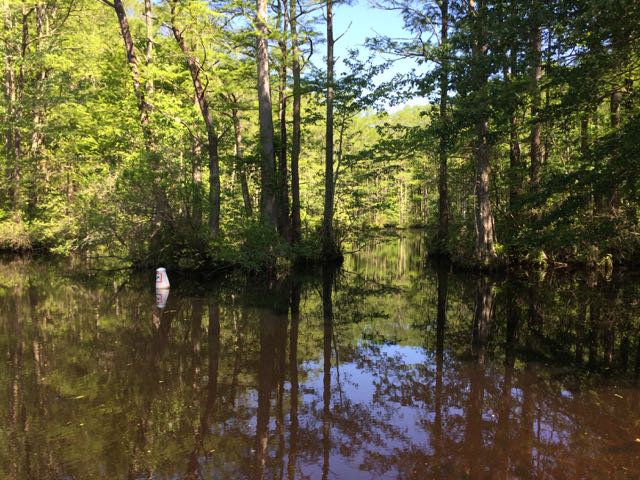 This particular Sunday we enjoyed the park all to ourselves for several hours. We explored the boat ramp (only non-motorized boats are allowed) down to the pond where we heard and saw a variety of birds and insects. Sitting on the boat dock, we gawked over the large cypress trees that envelope the pond. The park staff have installed numbered buoys in the water to created a 1/2 mile paddling trail through the pond. Since our visit,


 On day 2 of our
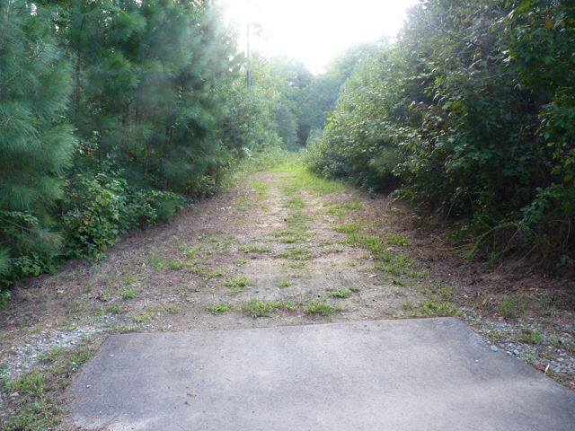
 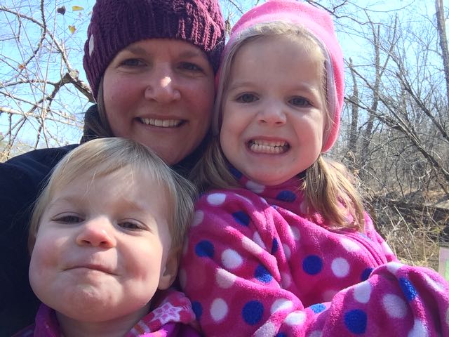 This trail is about 1.3 miles in total length and is marked as being moderate. The only moderate part of the hike was heading up the bluffs on the way back. The parts along the river were flat and quiet, the only sounds coming from the river and wee ones. In the future when the kids are much bigger I’d love to explore this area further by canoe and camping!


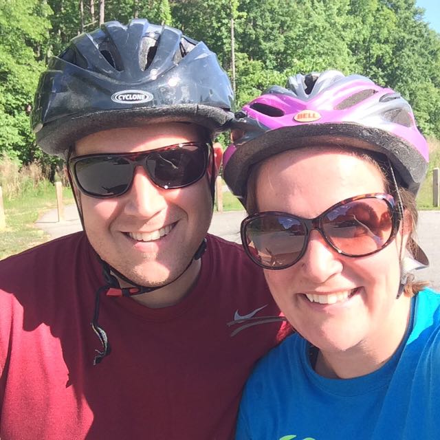
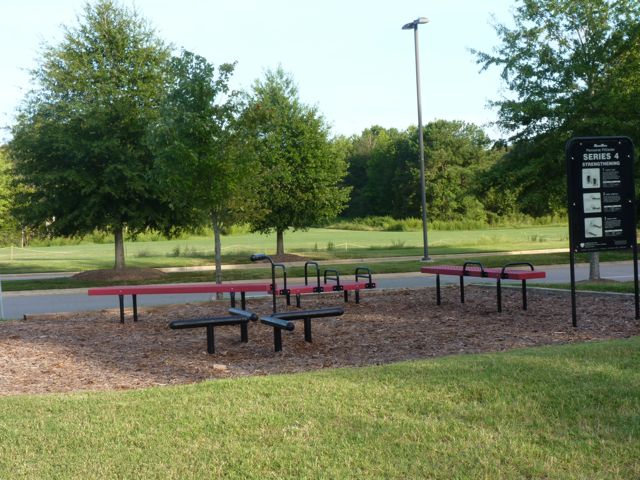
 On the heels of family visiting at the end of May, my aunt offered to watch the girls while Bill and I headed out for a date night. Instead of gorging ourselves at a new restaurant, we decided to dust off our bikes and chomp away at another segment of the Neuse River Trail between the Bedford neighborhood and US-401 (followed by beers at a new brewery,
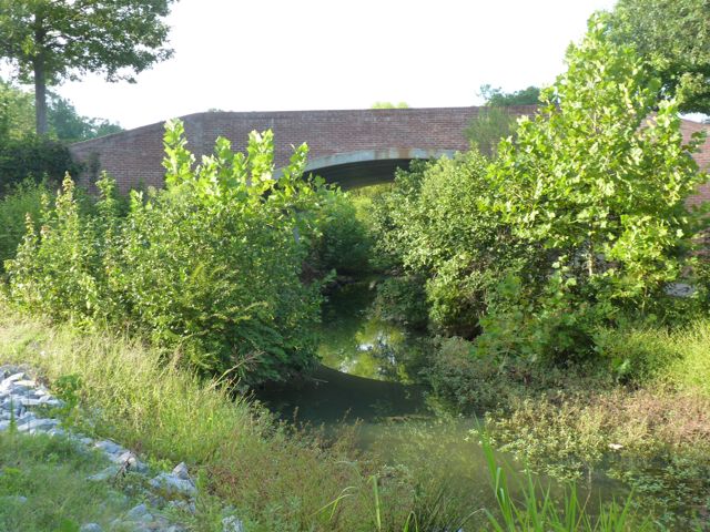
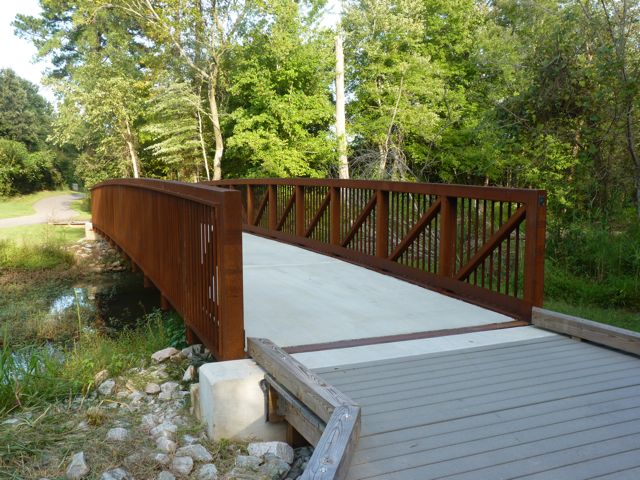
 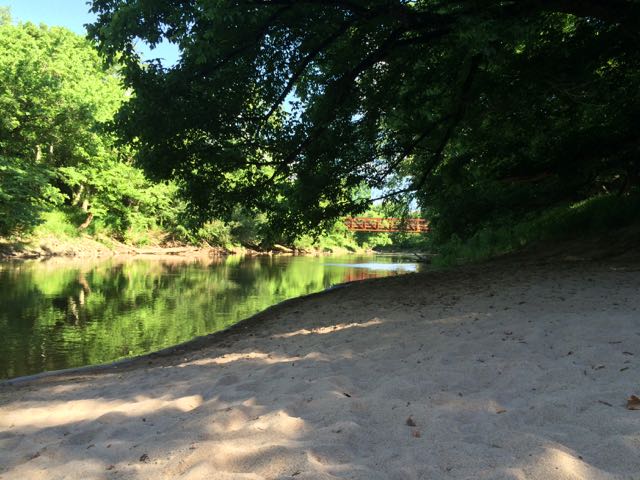 milepost 3.5 – look over the river to spot old gas or electricity lines running across an old steel bridge


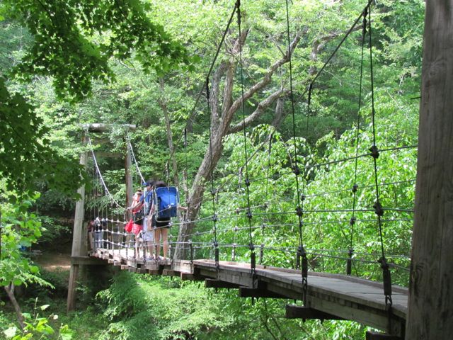 This summer we explored Eno River State Park in Durham over Memorial Day weekend. Despite a 40 minute drive and a lot of preschooler crying when we first arrived because there was no playground in sight, we enjoyed the short hike across the swaying footbridge and to the river.
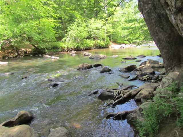 After we reached the bank of the river, we followed the trail over a narrow suspension footbridge that seemed like a much, much less dramatic version of the foot bridge Indiana Jones crossed in Indiana Jones and the Temple of Doom. It’s less than a 15ft drop to the river, but with large openings in the sides of the bridge I walked Ashley slowly across the bridge, trying to reiterate the importance of no jumping on the bridge.
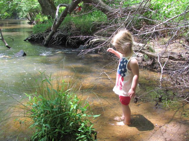 On our hike back we stopped in one of the several swimming holes to splash around a bit, promising to bring the girls back again soon with bathing suits in tow. Other than over 25 miles of hiking, Eno River State Park offers fishing, camping, canoeing, educational programs, the annual