Annie Louise Wilkerson, MD Nature Preserve Park

img_1720
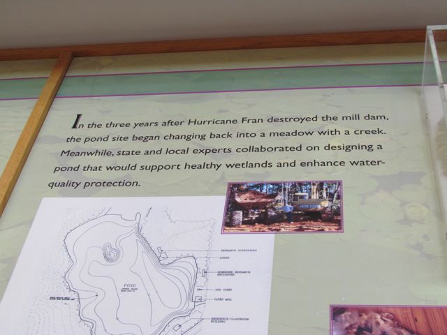
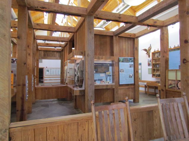
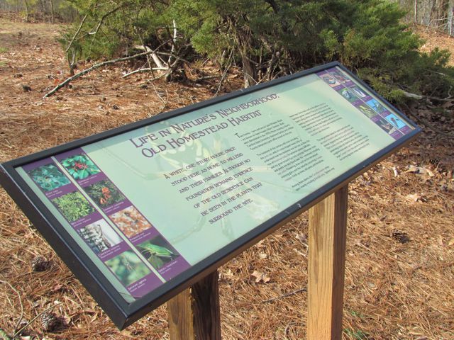
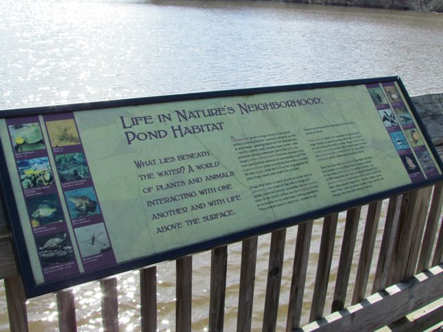
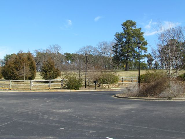
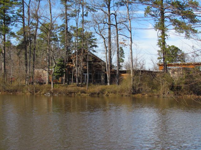
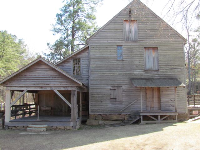
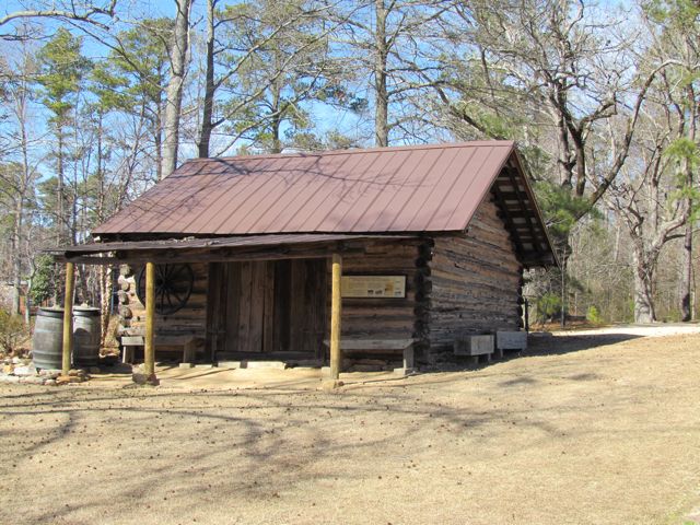
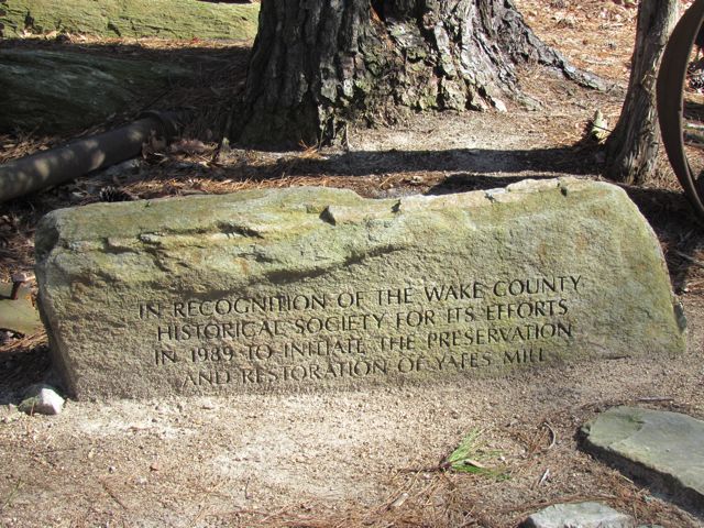
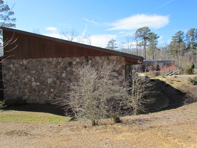
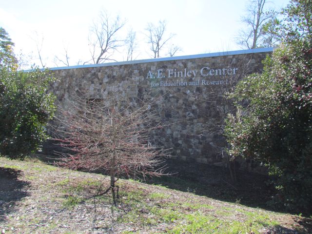
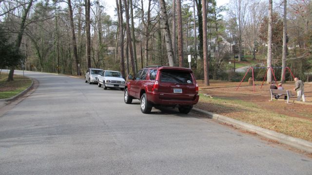
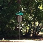
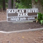
If you’re looking for a place to go hiking in Raleigh and have exhausted your options at Umstead Park, you should definitely make your way into North Raleigh to Annie Louise Wilkerson, MD Nature Preserve Park.  Being the only visitors at the park a few months ago, we visited the main office and spoke to the very friendly and knowledgeable staff about the history of the park.  It was lovely to hear her speak about Dr. Annie’s will to leave the land as a nature preserve park.  The park office was converted from an old residence on the property and there are future plans to convert Dr. Annie’s old standing residence into indoor classrooms.

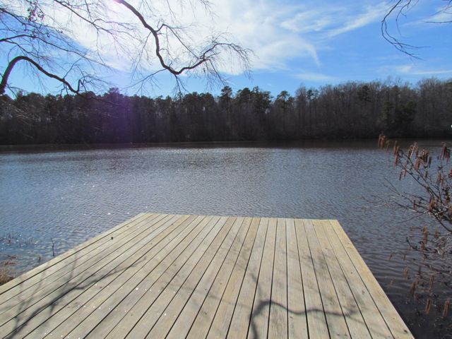
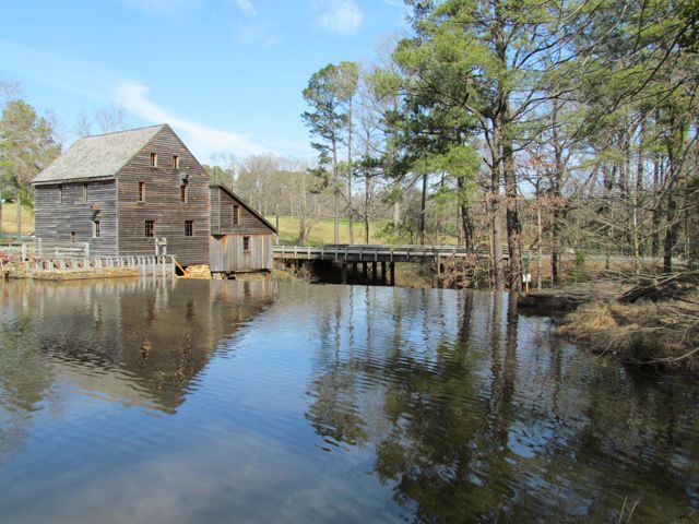
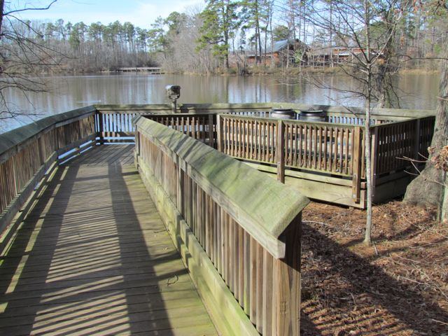
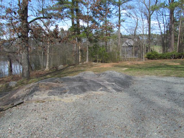
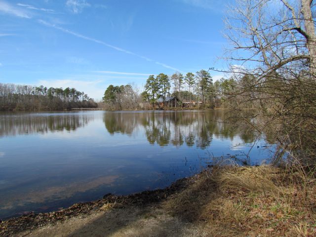
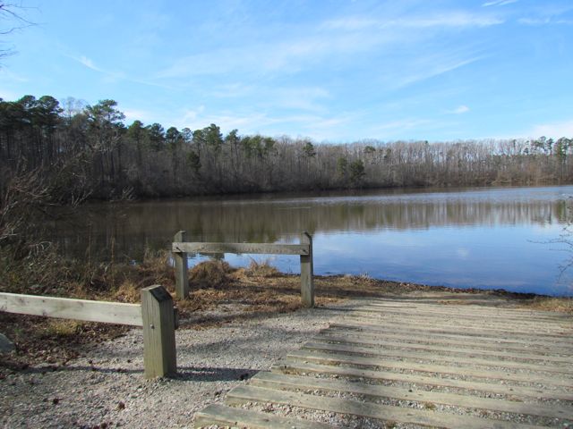
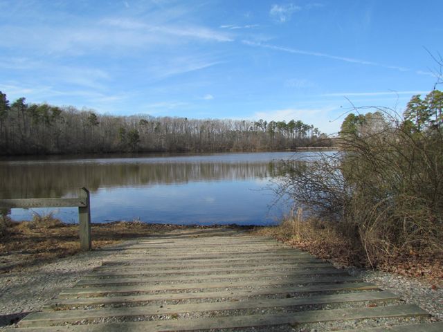
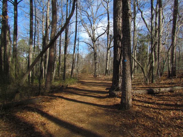
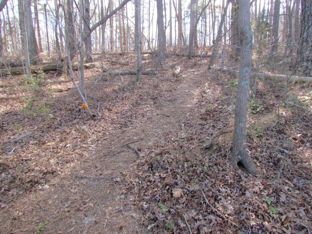
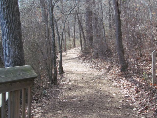
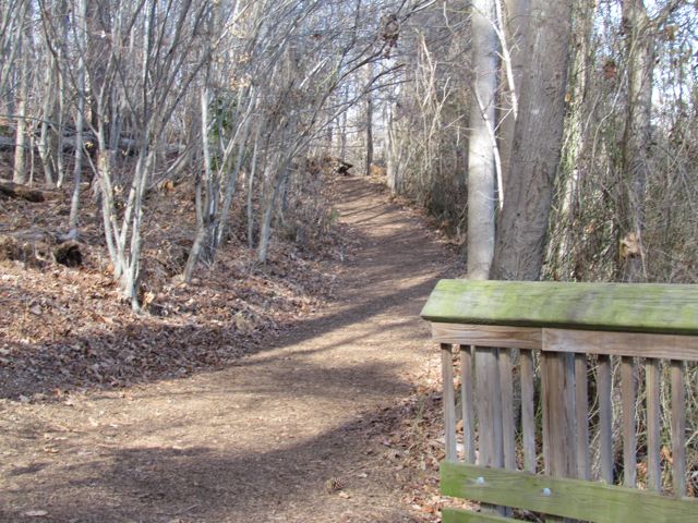
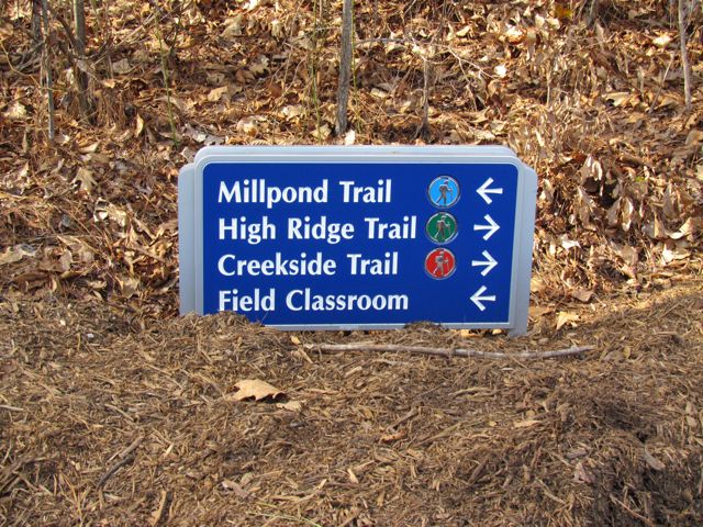
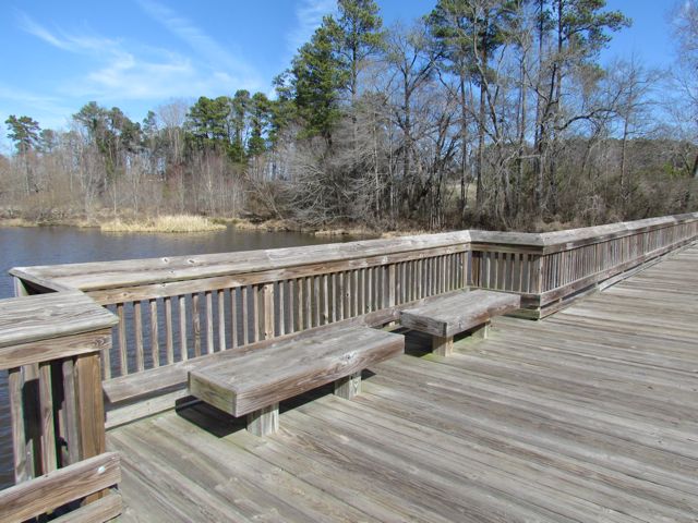
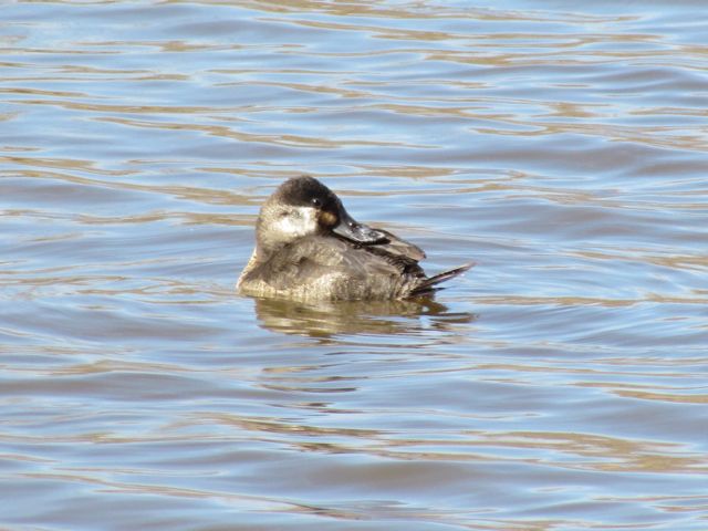
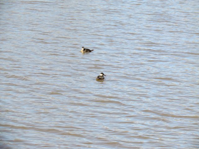
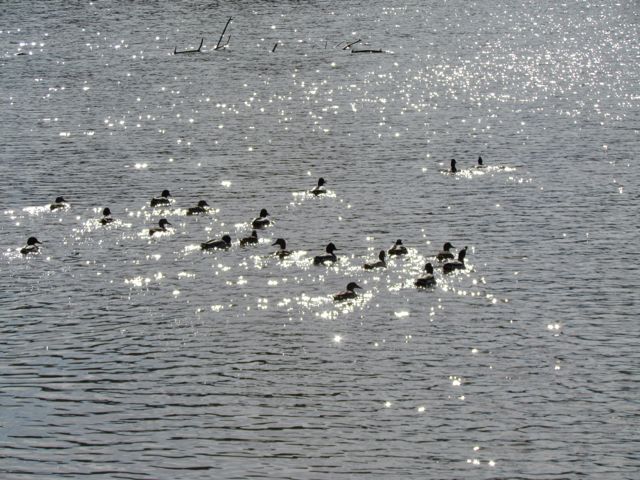
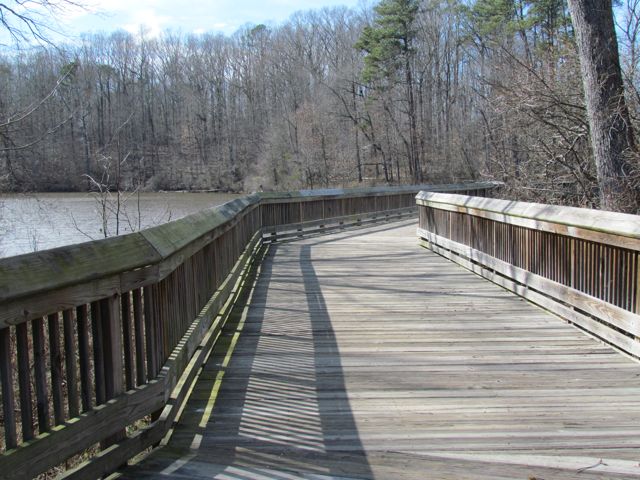
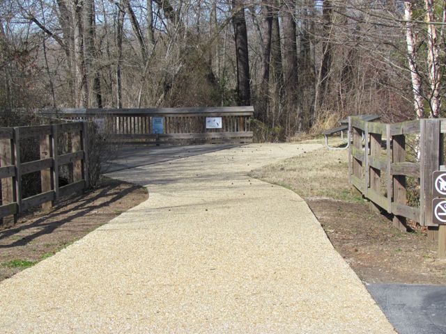
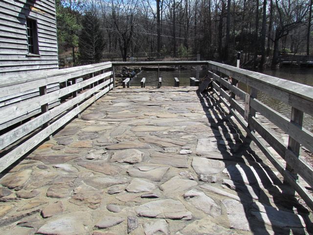
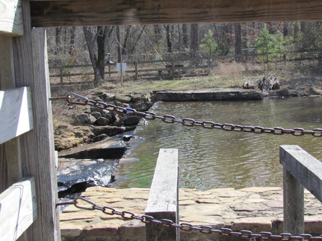
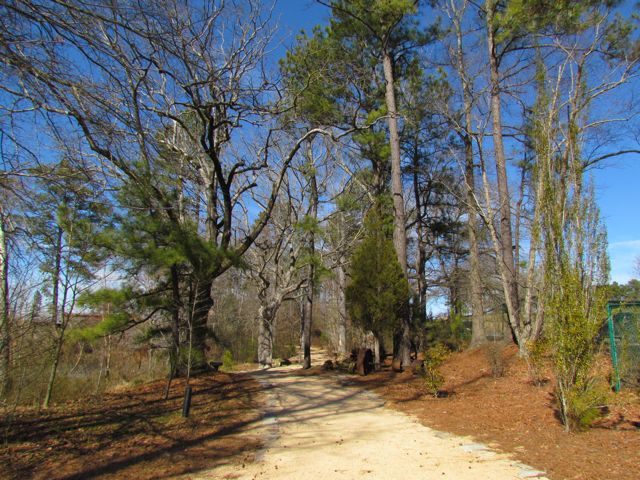
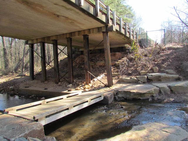
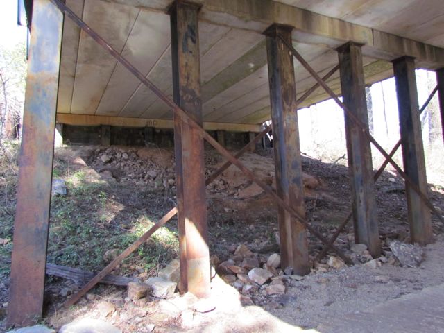
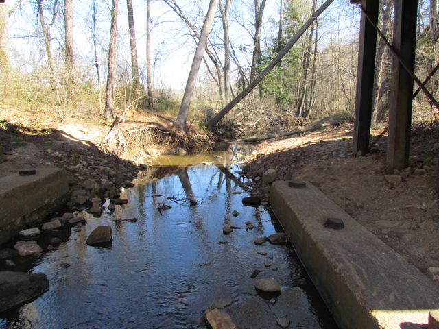
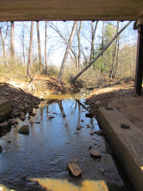
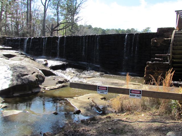
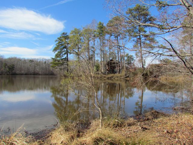
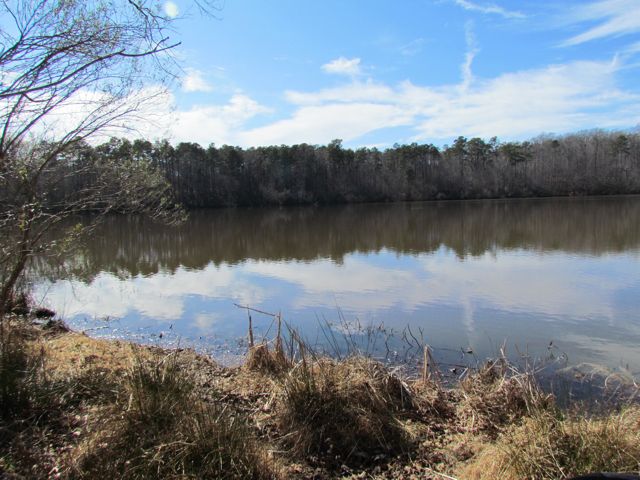
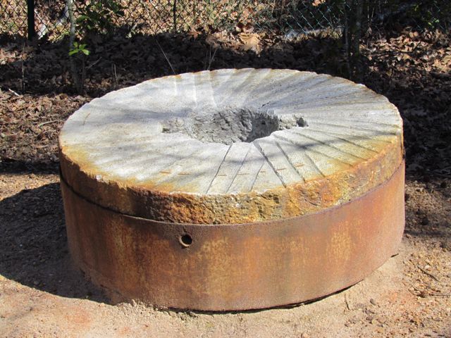
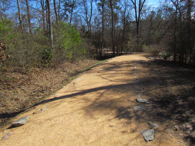
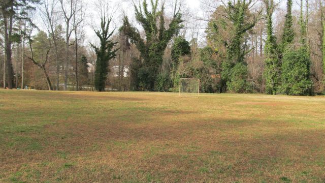
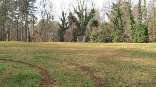
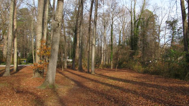
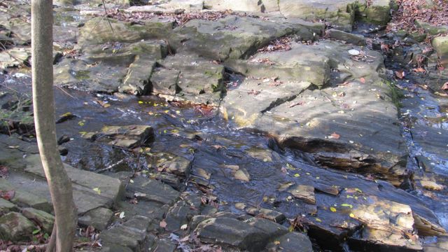
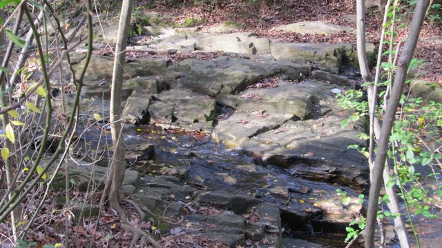
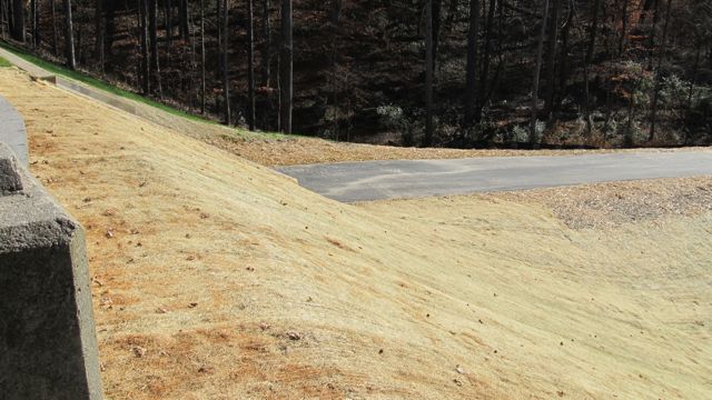
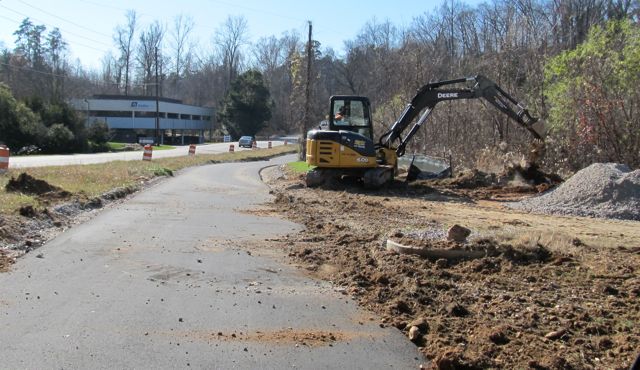
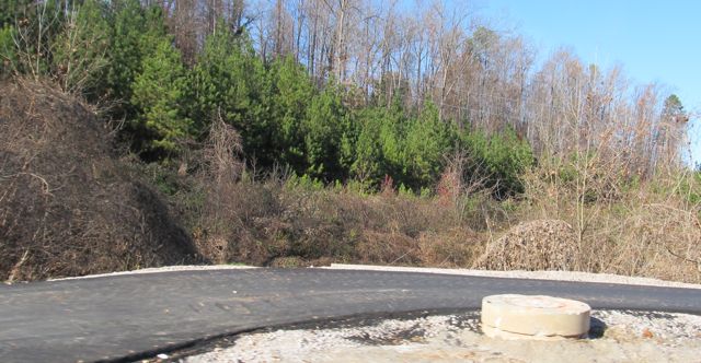
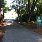
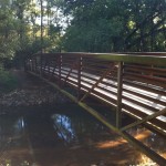
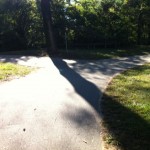
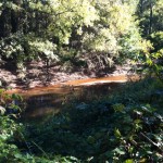
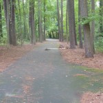
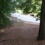
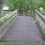
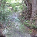
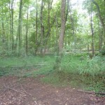
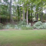
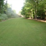
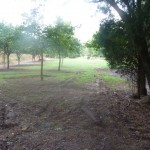
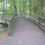
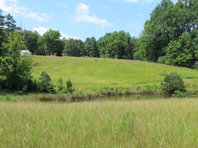
After visiting the park office, we headed off on the Hidden Rocks trail (1 mile long), which is known for having several crops of hidden rocks throughout.  The trail is about 2ft wide in most places and an easy path to walk, but there are a few narrow and slippery spots throughout.  This trail passes through open fields, forests of hardwoods.  As this park is still taking shape, the signs aren’t completely finished yet, so be sure to pay close attention to where you are going.  After Hidden Rocks trail, we walked the Pond Loop, which is about 1/2 mile long and crosses over one of the ponds on the property.  This particular day was absolutely gorgeous and the reflections off the pond were crystal clear.  On our next trip here, we’ll be sure to bring our hiking backpack instead of the Bob stroller that we used.  I’m sure we looked ridiculous with our stroller!

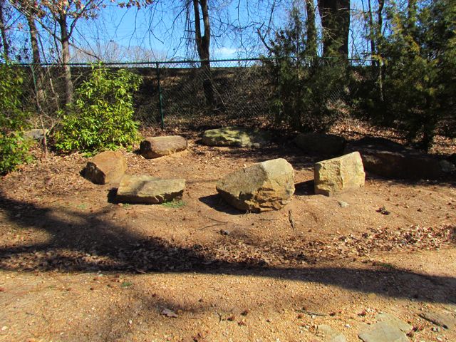
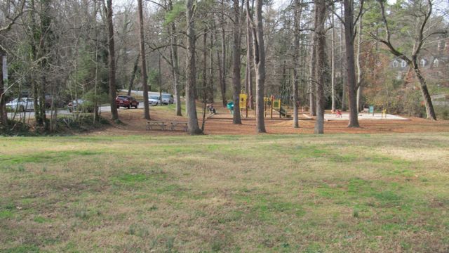
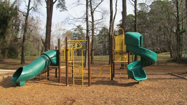
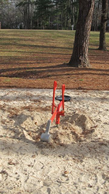
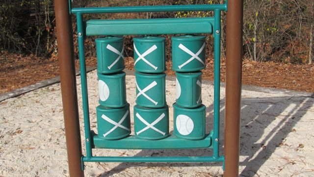
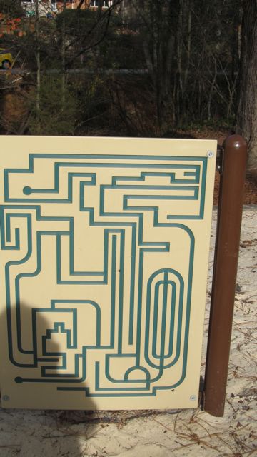
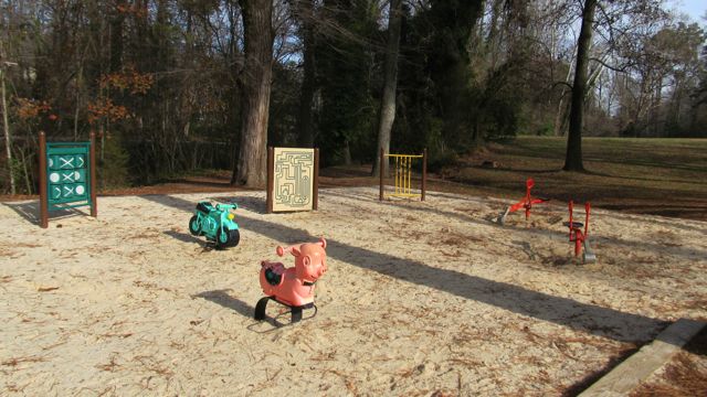
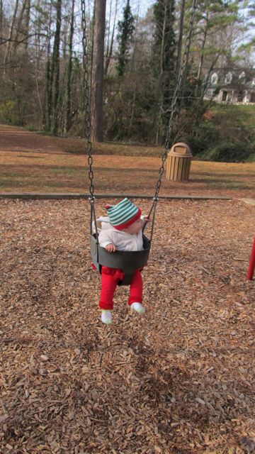
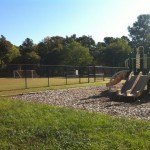
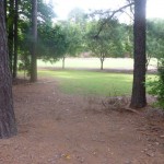
Being that this is a nature preserve park, you won’t find any of the regular playground equipment you’re accustomed to at other parks.  However, that did not prevent Ashley from having an amazing time in the natural play area; complete with stumps, teepees, tall grasses, and large logs, there are a lot of options for kids to have some imaginative play.

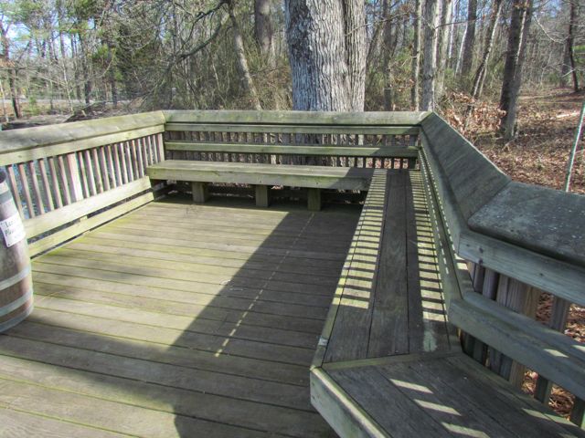
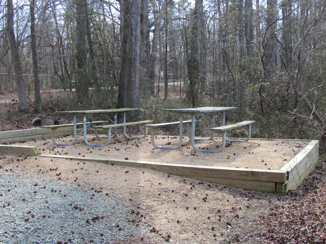
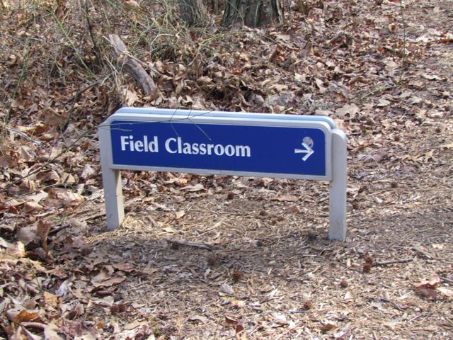
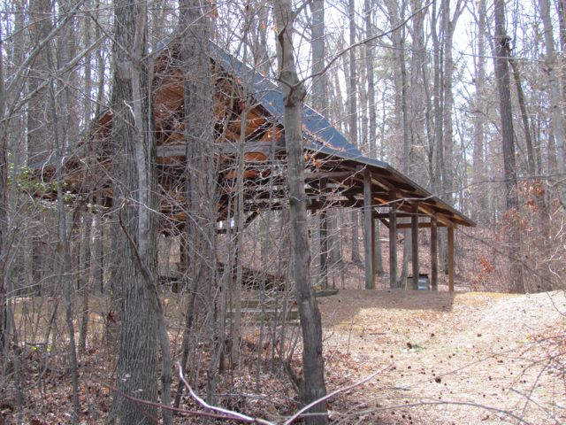
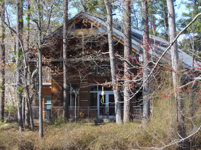
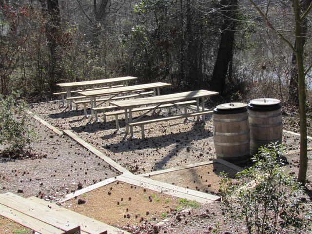
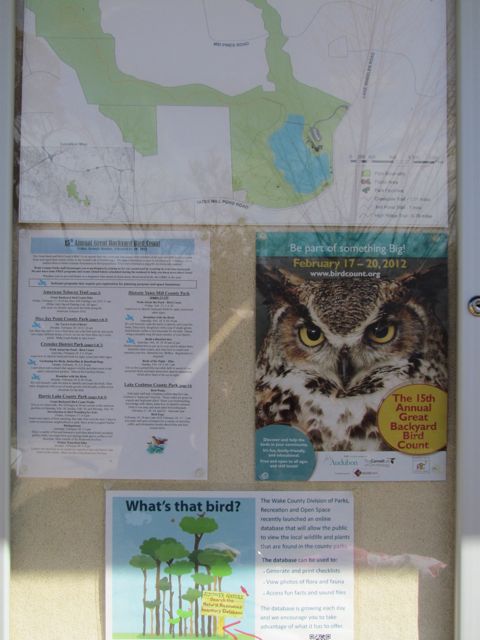
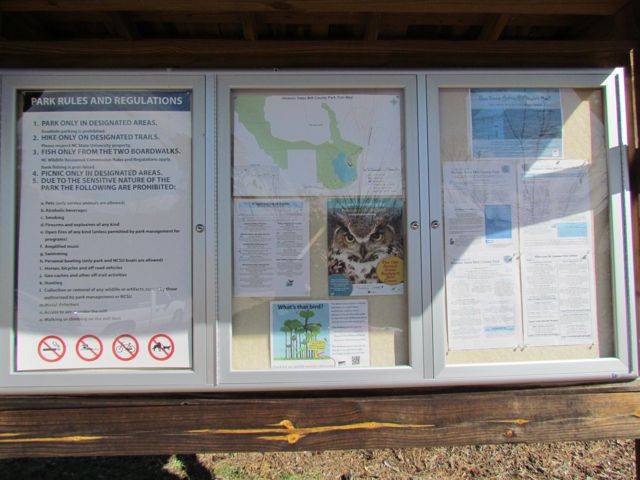
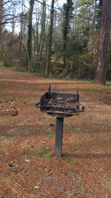
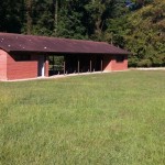
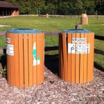
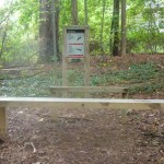
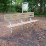
Near the natural play area is also a large pavilion used for educational programs and the public restrooms.  For more information about the Dr. Annie park, visit the City of Raleigh website.

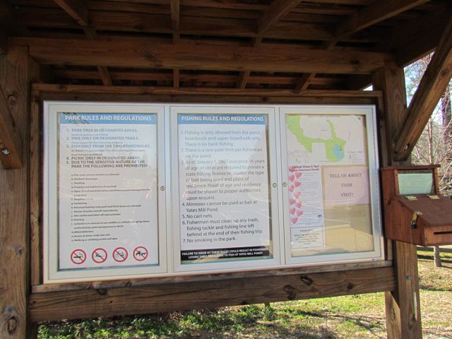
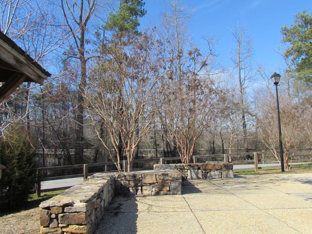
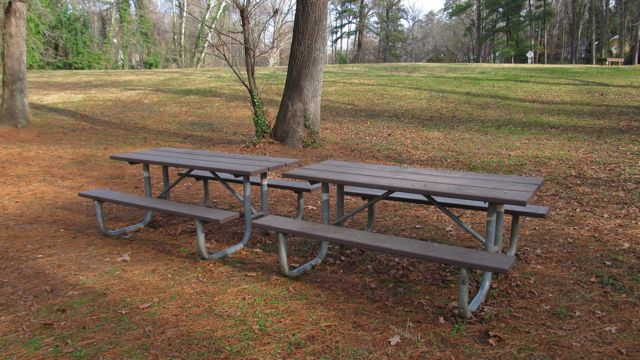
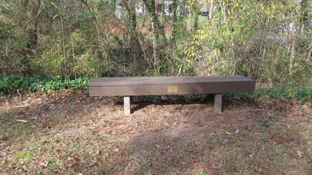
Thumbs up: hiking trails, play area, park office, views of the open fields, photo ops, picnic spots

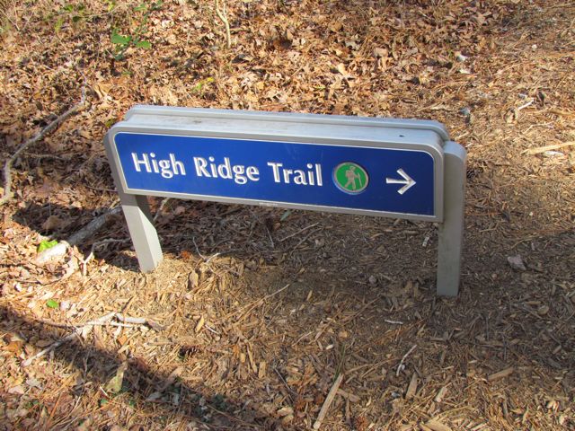
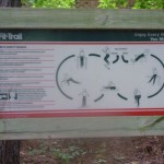
Thumbs down: signage through hiking trail

Grandfather Mountain Profile Trail

img_1603
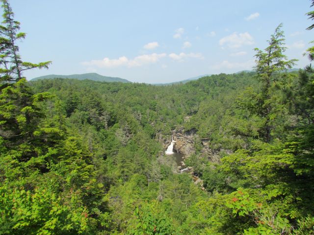
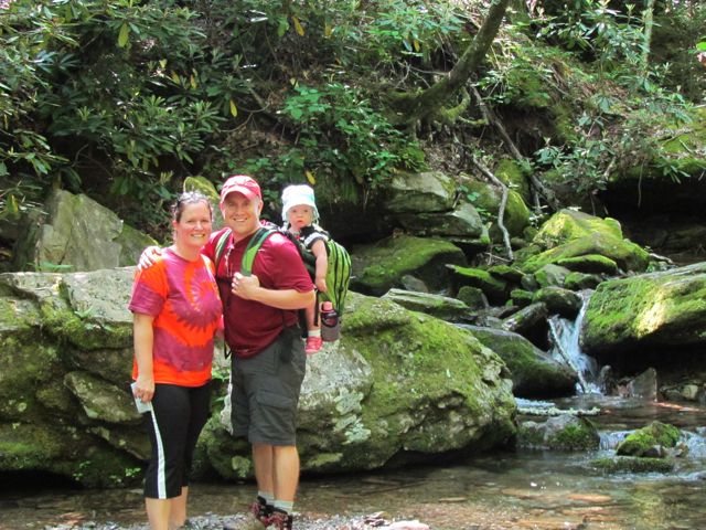
Oh, boy!  It’s been a few weeks since I last posted about our trip to Grandfather Mountain: partly because I’ve been busy with other things, but mostly because I’m still wrapping my head around conquering the Profile Trail and Calloway Peak.  Yes, I used the word “conquered” when describing this hike.

On day 2 of our trip to Western NC, we headed with a few friends to the Profile Trail of Grandfather Mountain.  It’s located just a few miles west of the Grandfather Mountain campground we stayed at and is free to visit, unlike the other entrances to Grandfather Mountain and the Swinging Bridge.

The trail length from NC 105 to the top at Calloway Peak is about 3.5 miles and 2000 ft ascent.  We had Ashley in our new Craigslist Kelty backpack for the trip so it took us about 4.5 hours to do the 7 mile round trip.  The first 1.7 miles until you get to Foscoe View is steep, but relatively easy.  In the beginning you cross several streams, which are great for a cool dip.  The trail is very narrow with lots of roots along the surface so you have to constantly be aware of your footing.

img_1621
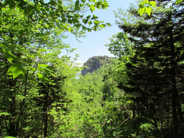
At 2.3 miles you reach Profile View, which offers a spectacular view of the Grandfather Profile. After you pass Profile View, the terrain gets much steeper and harder to ascend.  At 2.7 miles you reach Shanty Spring, which is known for being the “last sure water” spot.  We refilled here on the way back down the mountain as we did not come prepared with enough water.  Shanty Spring is a great rest area offering a lot of shade and a cool drink before ascending the strenuous path of boulders, which lies next.

The boulders we climbed after Shanty Spring were unlike any we’ve climbed before.  Having short legs didn’t help but, nonetheless, even a 6ft tall person would have to raise their legs to their waist to climb these boulders.  It felt like a straight climb for a solid 20 minutes and it was hard to stop your momentum once you started.

Finally we reached the fork in the trail and headed left towards Calloway Peak.  On the way down the mountain half our group headed right to cross the Mile High Swinging Bridge, which they said was unbelievable!  But, back at the fork in the trail we still had another .4 miles to go to reach the top!  Finally, this part of the trail started to level out and we felt like we were getting closer to the end.  The fir trees were smaller in height and we could see the sky!  Our first stop was at Watauga View, which offers beautiful views of the mountains and valleys.

img_1644
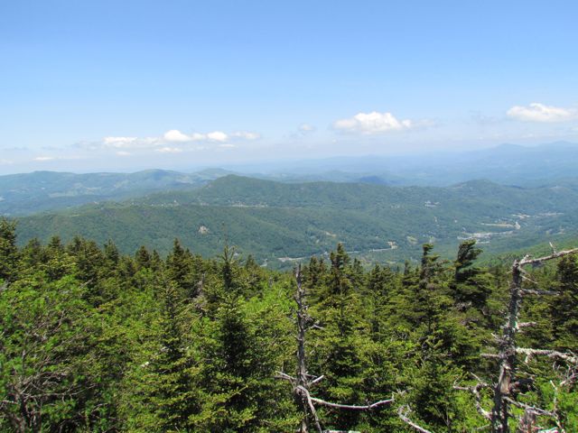
Continuing on, we headed to Calloway Peak, which includes climbing three different ladders suspended between large boulders.  It was unlike anything we’d climbed before, but so were the views at the top: the sky was so blue, the mountains so green and you could see for miles.

The hike down was much quicker than the hike up, but took a toll on our knees.  Having a 24lb baby and a 10lb pack didn’t help, but she was an angel for the full 7 miles and even took a quick nap at the top.  Lucky for us, we were hiking with great friends who encouraged us the entire time (had they not been there, we probably would’ve turned around at Foscoe View)!  Reaching the parking lot was relieving, to say the least!  Reaching the Lowe’s Food grocery store and celebrating with corked beverages and grilled double cheeseburgers was priceless!

Lessons Learned: pack at least 3 bottles of water per person, eat a large breakfast beforehand, pack sandwiches for lunch, hire a sherpa for baby

Thumbs Up: beautiful views, photo ops, great exercise, great day trip

Thumbs Down: hiking with baby strapped to your back, always looking down to avoid tripping

Linville Falls & Boone, NC

img_1574For Memorial Day weekend we headed out to the Grandfather Mountain area on the annual Raleigh Jaycees camping trip for some cabin camping.  This was the first time we had ever been to the Boone/Blowing Rock/Banner Elk area and we can’t wait to go back!

We stayed at the Grandfather Mountain campground, which is not on the state park property, but only about 5 miles away at 125 Profile View, Banner Elk.  Being our first year up there (and with a baby), I was reluctant to jump into tent camping so we opted for one of the nearby cabins.  It was a two-bedroom place with a small kitchen, bathroom, living room, and cable TV…basically a primitive hotel room on a campground, but I was happy! All our friends camped at the nearby open field, so we happily mooched off their campfires and s’mores all weekend!

My goal for the weekend was to make sure we had enough fun outdoorsy things to do during the day to keep baby entertained.  I researched a few things ahead of time and got some advice from friends so our weekend was pretty jam-packed, but just the way I wanted it.

On Saturday morning we headed out to Linville Falls, which is about 10 miles southwest of where we stayed.  It is located on the Blue Ridge Parkway and maintained by the National Park Service.  From Grandfather Mountain campground on 105, you follow 105 south, turn onto 221 south and then north on the Blue Ridge Parkway.  In about a mile onto the BRP, you’ll take a right into Linville Falls.  Follow the road for a few miles where you can take pictures near the unexciting overlooks and then it’ll dead end into the parking lot for the park.

Earlier last week I found an amazing Craigslist deal on a Kelty 2.0 child carrier.  It was a crucial purchase for this weekend.  We quickly strapped Ashley in and away we started for the visitor center and maps.  Linville Falls has  three main trails – Erwin’s View Trail (moderate), Plunge Basin Trail (difficult) and Dugger’s Creek Loop Trail (easy).  Each one has a few different overlooks to hike to and the map clearly notes the length of each trail, which are all under 1.5 miles.  Being our first major hike with Ashley and the backpack we opted for Erwin’s View Trail.  Here’s a link to a Linville Falls map.

The first overlook we came to was the Upper Falls Overlook.  The narrow pathway of stones led to a large rock outcrop where you had gorgeous views of several falls.  Upstream the river was rather wide and then near this overlook the river narrowed creating a gushing of water down below.  Large rocks lined the downstream falls making the last section of waterfalls look like an infinity pool.

Next we continued on towards the northern most falls – Chimney View (closed due to fallen tree branch) and Erwin’s View.  The hike up there was very moderate.  In general, the majority of the paths were very easily travelled with 10ft+ wide paths sprinkled lightly with tree roots and stones.  At the clearing near the top is where Chimney View is located, which was closed.  There was also a nearby pavilion with some benches.  A little further up the path was Erwin’s View.  We had to climb a few stairs to get to this section, but it was well worth it.  As you look across the river you see the opposite view from the upper falls.  Even though the view of the falls is far away, the mountain views were gorgeous.  We stuck around here for about 20 minutes to let Ashley get out and enjoy a quick snack before heading back down.

After leaving Linville Falls we tried going to Linville Caverns, which is only about 5 miles away but decided to leave it for another trip after we found out that child backpack carriers weren’t allowed.  So, we headed back north to downtown Boone in search of lunch.  Back at VT, our club field hockey team once travelled to App State for a game, but we never had the chance to explore anything besides the football field.  Downtown Boone definitely reminded us of being back in Blacksburg with the local shops and restaurants and college students and families out and about, except downtown Boone was much busier than any summer day we’d ever seen in Blacksburg.  We stopped in at Our Daily Bread and scarfed down some yummy sandwiches and cups of water.

After our fun adventures on day 1, it was time for showers followed by yummy campfire burgers and s’mores!

Thumbs up: gorgeous views, relatively easy hike, photo ops

Thumbs down: get there early in the morning as it gets busy with tourists

P.S. Yay for my one-year blog anniversary!

Hokies 3.2 Memorial Run on Crabtree Creek Trail

img_1767
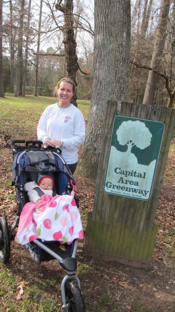
This past weekend, we explored part of the Crabtree Creek Trail greenway with over 50 fellow RTP Hokies for our annual Hokies 3.2 Memorial Run.  Our friends Becca and Brent organized the run, which started and finished at Big Boss Brewing Co.  It was an absolutely gorgeous day for the run and such a great reminder that Hokies are awesome! We even started the race with some Enter Sandman blasting from the car radio!

img_1770
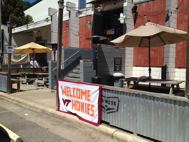
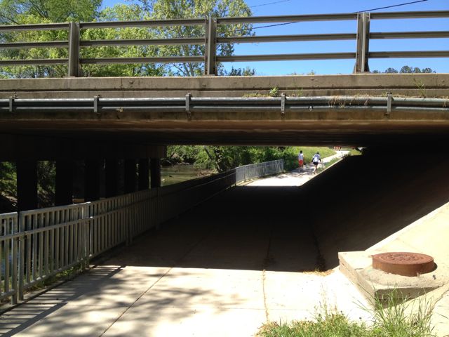
Like I said, we started the race at Big Boss Brewing Co, which is located at 1249 Wicker Drive in Raleigh.  Btw, they started a weekly run club about a year ago that you should check out! We headed north on Laurelbrook St and then made a left onto Hodges St, which runs parallel with the greenway.  Just east of Atlantic Ave, we jumped onto the Crabtree Creek Trail greenway and headed west.  This section of the greenway parallels Crabtree Creek so you have a nice view of the rapid flowing creek and several major overpasses and train tracks to cross under.  Being that we were pushing a stroller and not in our usual William & Kate shape, we lost sight of the group a few times on the way out.  Luckily some of the trail became familiar to me and at the fork in the road we headed right instead of left towards Kiwanis Park. We ran until we reached Oxford St and then turned around and headed back for a total of 3.2 miles.

Overall, this stretch of the greenway is nicely shaded, paved, and flat!  And, the best part of all was finishing the race with some much needed local beers at Big Boss with some awesome Hokies!  Ut Prosim!

Thumbs up: flat and shaded greenway, passing by the RTP Hokies hangout Carolina Ale House @ Creekside Dr, cold water and beer at Big Boss

Thumbs down: lack of signage or maps at forks in the greenway

Umstead Park – S & N Turkey Creek Trail

img_04963-150x150Craving some exercise and needing to leave the house for a Sunday morning showing (yes, cute house for sale), we headed to Umstead Park a few weekends ago to check out S & N Turkey Creek Trails.  We figured we’d park at our regular spot in the median off Reedy Creek Road, but came to find nothing but “No Parking” signs!  Ugh, you could sense the frustration I had when I saw them.  There are a few nearby neighborhoods, but those too have several “No Parking” signs along the streets and my husband’s disapprovement of parking in random neighborhoods meant we had to search elsewhere.

Knowing S & N Turkey Creek Trails parallel much of Ebenezer Church Rd, we drove over that way looking for the parking spots I stashed in my memory bank. Heading north on Ebenezer Church Rd, just past Clyden Cove on your right, you’ll come to gravel/dirt parking on the left-hand side of the street.  There are several “No Parking” signs near the gate so just be sure to park towards the left.

After quickly bundling up the baby, we set off down the gravel hill and continued north on S Turkey Creek Trail.  If you head left at the bottom of the hill, you’ll go south back towards Reedy Creek Rd.  Very soon in our trip we came upon Crabtree Creek followed by Cedar Ridge Trail, one of the many hiking trails in the park.

Continuing on, N Turkey Creek Trail begins.  A bike race was happening this particular Sunday morning, so it was pretty exciting to see all the bikers with race bibs zoom by us.  There are some narrow sections on this trail, but for the most part they are wide, gravel paths.  Lucky for me, Bill pushed the stroller on the way out and dealt with most of the hills. Knowing Ashley would be hungry soon, about 30 minutes out we turned around and headed back for the car.

I love exploring the Umstead Park trails because of its peacefulness amidst a bustling city.  Regardless of the trail you explore in Umstead, it’s bound to be an exciting one full of walkers, runners, bikers, or horses!

Historic Yates Mill County Park


This post originally appeared on Southwestraleigh.com where you can learn more about how to live, work, and play in the Creative District.

Even though the Historic Yates Mill County Park has only been open for less than six years, Yates Mill dates back to the early 1800’s and is the only gristmill still standing in Wake County.  Throughout the mill’s history it changed ownership about a dozen times and the park is now owned through a partnership between NC State, Yates Mill Associates, Wake County, and the NC Dept of Agr & Consumer Services.

Historic Yates Mill County Park is located at 4620 Lake Wheeler Rd, about 3 miles south of I-40/440.  After winding down a short entrance road you arrive at a large parking lot with a beautiful research and education center as the backdrop.  The A.E. Finley Education and Research Center is a beautiful stone and wood building that contains an exhibit hall, classrooms, auditorium, and back porch complete with rocking chairs overlooking the pond.  They offer programs for people of all ages and here are just a few upcoming events to highlight:

After you’ve finished exploring the Park Center, head to one of the trails for a walk out and around the pond.  We explored the Millpond Trail (1 mile), which loops around the pond offering breathtaking views of the wildlife, water, and flora.  On this trail, you’ll pass by the old mill and dam, boardwalks along the pond that are great for fishing, several picnic areas, the Field Classroom, and tree markers that correspond to the “Tree Identification Trail” brochure at the Park Center.  Even though it’s an unpaved path, it’s quite wide and flat but not suitable for strollers in all areas.  Being a beautiful sunny day, I passed quite a few people jogging the trail too.  Whatever you do, be sure to stop by the mill yard and dam and take tons of pictures!

The two other trails we didn’t have time for today are the High Ridge Trail and the Creekside Trail.  The trail map shows that High Ridge Trail is more strenuous and about .78 miles and connects up with the Millpond Trail.  Creekside Trail is an out and back unpaved trail that is 2 miles in total length.

This park is jam-packed with activities and sights, but also has several peaceful areas if you just want to relax a bit.  Try your luck fishing from one of the boardwalks, enjoy a picnic lunch at one of the many spots along the Millpond Trail, or take a nap in the rocking chairs on the back porch.  So, whether you came for excitement and learning or quiet time and reflection there’s something for everyone.

Thumbs up: photo ops, serenity, educational exhibits, pond, mill and dam

Thumbs down: trail maps don’t indicate whether paths are stroller-friendly (thanks to the sweet mom-daughter team that helped us out)

Windemere Beaver Dam Park

I have had the privilege to visit several parks with my daughter and granddaughter as they have been working on their blog for the past 8 months!

With the holidays, I asked if I, her sister Ginni, and Ginni’s husband, Blair, could take the baby to a nearby park for the Twelfth Day of Raleigh Parks Christmas and let us take pictures and blog!

Well here it is and to all who know me, I will keep the four letter words to “park”!

Windemere Beaver Dam Park is a wonderful neighbor park – quiet, peaceful and serene!

If I lived in this neighborhood I would be bitter, because I would have to share with all (lol)!

I also realized I was not the only grandparent enjoying the Raleigh sunshine that day, as the park had several families celebrating and enjoying a gorgeous day with their babies just like me.

Windemere Beaver Dam Park is located at 1500 Nottingham Rd in the median between Brooks Ave and Nottingham Rd. It is a wonderful place for families to celebrate just about anything, not only Christmas, but birthdays, soccer/t-ball/pick-up games, etc. They have a couple of picnic tables and numerous benches to take a rest if you are walking, jogging, or running on the nearby greenway trails. You can take a quiet walk and visit the babbling brook that goes around the outskirts of the park; and how wonderful that would be on a hot summer day, to dip your piggies!

In my opinion one of the best features is the open field, where you can play good old fashioned games of kickball, freeze tag, dodge ball, Red Rover, Red Light/Green Light, and of course soccer, lacrosse, t-ball, etc. I would suggest to bring your own chairs so you can be mobile between the open fields to the jungle gym/swings.

The playground area offers 2 slides, 2 swings for us big people and also 2 additional tot swings for our babies.

I truly think the best part of this neighborhood park is how the City of Raleigh kept it in its natural environment! It is a wonderful habitat, great for bird watching, as I saw several cardinals (male and female), chickadees, mocking birds, finches, nuthatches, great for a beginner bird watcher! They have everything they need to survive – food, water and shelter.

I’m grateful that Raleigh has one of the BEST park systems on the East Coast! Being just a visitor to this city over the past 9 nine years, I’d like to thank the citizens and the city council for making your parks a priority in their budget/bond referendums over the past several decades.

Thumbs Up: great family outings, jogging trails, natural habitat

Thumbs Down: parking, lack of park sign, not very stroller-friendly

Under Construction: House Creek Greenway

Over the last few months I’ve noticed the new paved trail near Ridgewood Shopping Center and then the new pedestrian tunnels take shape along the beltline.  All of this has led me to ask, “What is going on?”  So, on the third day of Raleigh Parks visits, we did some exploratory research into the pedestrian tunnels and new paved trails that have been popping up in the area.

It seems the new greenway trails are part of the House Creek Greenway Trail that is currently under construction.  According to the Raleigh Parks and Rec website, this will be a 2.9 mile greenway that will extend from the Reedy Creek Trail at the I-440 pedestrian bridge to Crabtree Creek Trail at the intersection of Blue Ridge Rd and Crabtree Valley Blvd.  This piece of the greenway will give folks in North Raleigh a pedestrian trail for accessing Umstead Park.

In looking at the proposed trail map, this section of the greenway will start near the intersection of Wade Ave and Ridge Rd and head west along the inner beltline, go under Lake Boone Trail, go under Glen Eden Dr, meander through Glen Eden Pilot Park and then come out on Blue Ridge Rd near the McDonald’s.  From there, you can easily access Crabtree Creek Trail.

As I mentioned, we were out today to just explore what’s going on, especially since all the trails are still under construction and closed at this point.  We can’t wait to report back in Spring 2012 after it’s all finished!

Thumbs up: increased greenway access, pedestrian options for accessing Umstead Park, informative Raleigh Parks & Rec website

Thumbs down: nothing to report so far

Kiwanis Park & Crabtree Creek Trail

A few weeks ago we headed down to Lassiter Mill Park again to access the nearby greenway via Crabtree Creek Trail for a run. Little did we know that after a mile and half into our run, we would come to Kiwanis Park. It was a nice surprise and a good break from the run, as we weren’t anticipating either!

Following the greenway was a bit tricky in some places.  If starting near Lassiter Mill Park, you’ll  eventually come to Claremont Rd, where the greenway signs stop.  Take a left onto Claremont Rd and then cross Anderson Dr where Claremont Rd turns into Oxford Rd.  Stay on the sidewalks and you’ll shortly see the next portion of the greenway on your left, which will lead you straight to Kiwanis Park.  Despite the trickiness of the greenway, this has turned out to be one of the favorite running trails in Raleigh.  It is super FLAT and the bridges and scenery you pass make the running seem effortless at times.

The Kiwanis Park is located at 2525 Noble Rd just inside the beltline. It has a playground area with a jungle gym, but no swings. There are also several large open fields, mostly used for playing soccer. There is a sand volleyball court, baseball fields, and a basketball court. The nearby community center is not staffed and is available for rent.  The large pavilion has several picnic tables and restrooms.

Even though you can get to the park by car, why not make this a greenway/park/brunch adventure with the kids! 1) Run/walk 1.5 miles with the stroller on the greenway to the park, 2) let them burn up some energy on the playground while you rest from your run/walk, 3) then run/walk 1.5 miles back followed by 4) yummy brunch at Nofo at the Pig!

Thumbs up: flat portion of greenway, scenery along greenway, playground, open fields at park, recreational sports

Thumbs down: signage along parts of greenway, no swings on playground

Kaplan Drive Park

This post originally appeared on southwestraleigh.com, where you can learn more about what a great place South West Raleigh is to live, work, and play.

There is a small neighborhood park nestled between I-440, Kaplan Drive, and a residential area where parking is only available on the street. The tall trees try to muffle the noisy highway sounds, but after all, this is a city park inside the beltline. And if you’re jogging or walking by Kaplan Drive Park at 5208 Kaplan Drive, you can stop by to use the fitness stations.

Kaplan Drive Park has a 1/4 mile paved loop with 10 fitness stations and two benches scattered about.  There is a small stream running through the loop and two bridges to cross, making it fun to explore for turtles or other water creatures.  The paved trail surrounds a heavily wooded forest boasting diverse trees, putting your child’s tree identification kit to good use.

There are two large open fields at this park: one just below the tree line of I-440 and another near Kaplan Drive.  The fields could be perfect for frisbee, a game of tag, or other fun kid activities.  Unfortunately, there aren’t any picnic tables at the park, so bring a large blanket for a picnic in one of the many open, shady spots.

Even though this isn’t a destination park per se, it’s a fun neighborhood park to explore on a walk with the dog or a jog down the street.

Thumbs up: shade, trees for possible leaf identification project, fitness stations

Thumbs down:  slightly slippery trail due to moss, no picnic tables, noisiness of I-440