Lake Raleigh

Benches on the fishing pier

This post originally appeared on southwestraleigh.com, where you can learn more about what a great place South West Raleigh is to live, work, and play.

The last time I was at Lake Raleigh (unknowingly) was during last year’s Polar Plunge 5k race with the Raleigh Jaycees.  The race started near the lake, meandered through Centennial Campus, and then ended back at the lake where several people plunged into Lake Raleigh…in February!  All for a good cause nonetheless.

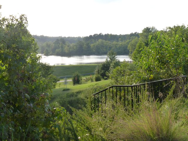
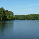
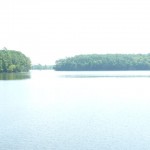
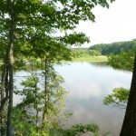
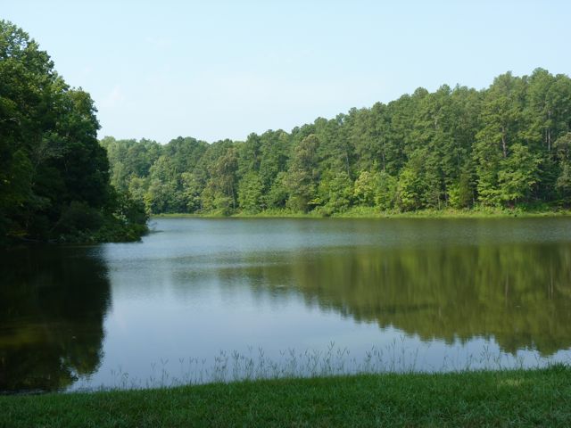
Visiting Lake Raleigh on a cool-summer-almost-Fall-time day is a much more practical way to explore the lake.

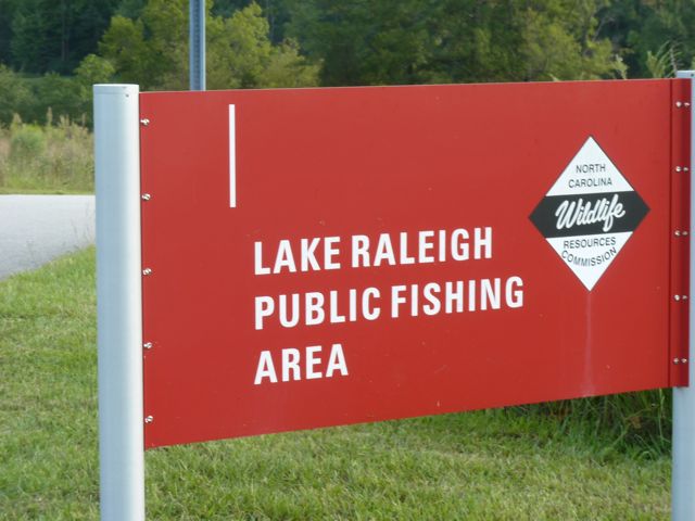
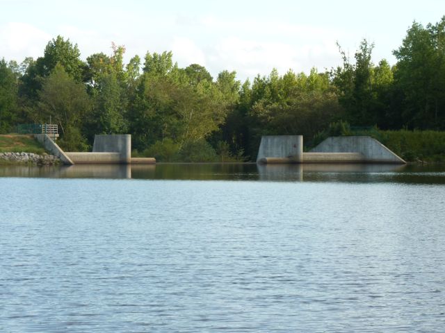
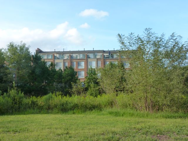
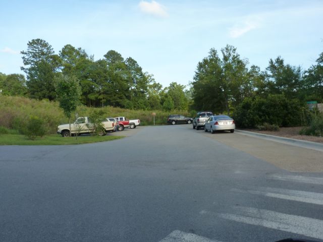
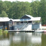
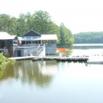
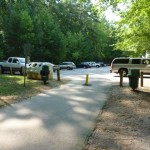
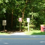
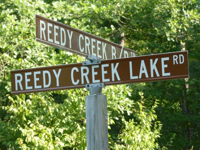
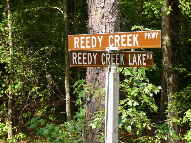
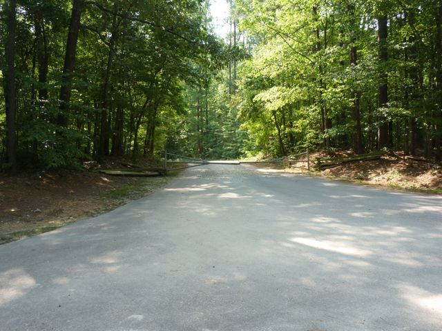
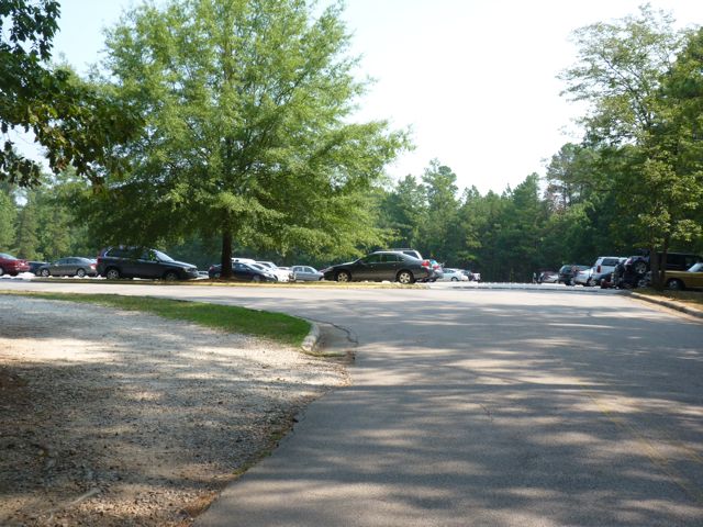
Open to the public, Lake Raleigh is located on NC State’s Centennial Campus, nestled between college buildings, corporate/government/non-profit partners, and residential space.  Like any place you visit on a college campus, parking can be challenging. There is a small parking lot at Lake Raleigh but it requires an NC State parking permit Mon-Fri from 7am – 5pm. You can pick up a $15.00 visitor day pass at the Transportation Department – 2721 Sullivan Drive, Administrative Services 1 bldg. Alternately, use the Park Mobile App and pay for parking at the Poulton Deck (across the street from Hunt Library) on Partners Way. The cost is $3.00 for the 1st hour; $2.00 every hour after that or maximum of $15.25 for the whole day.

Lake Raleigh
A quiet fishing spot down from the piers

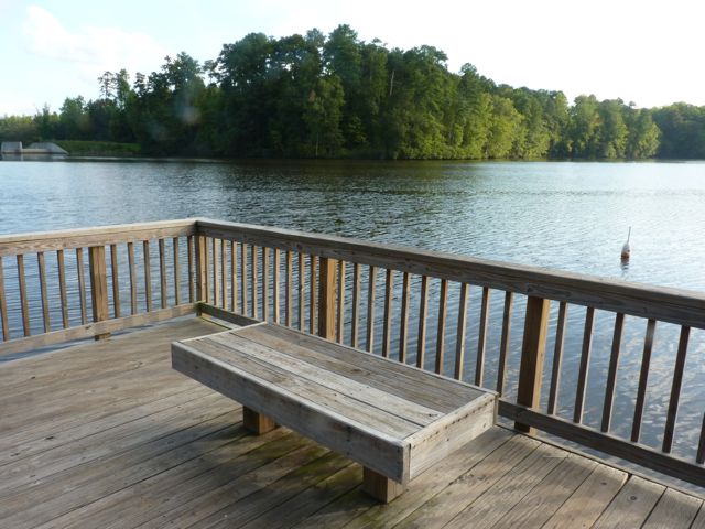
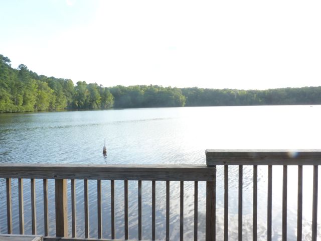
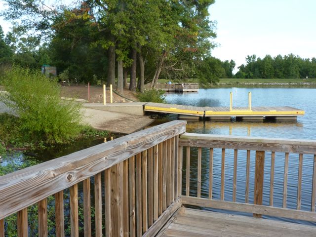
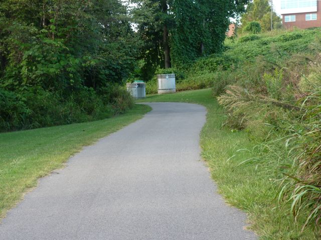
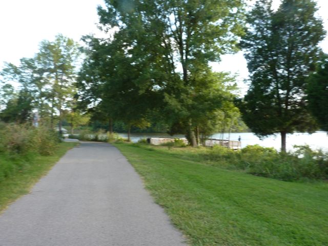
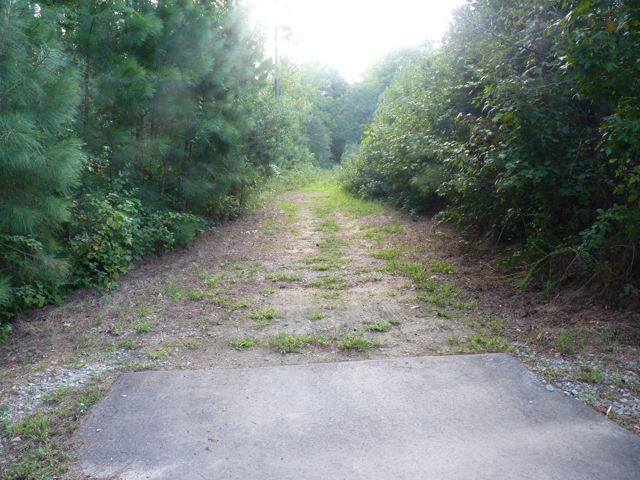
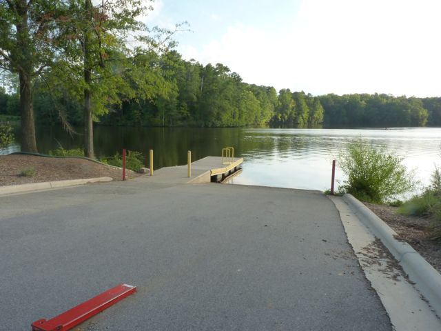
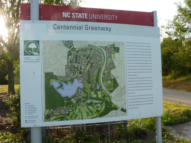
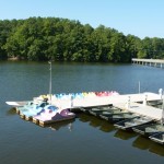
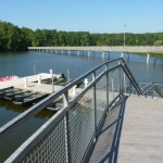
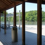
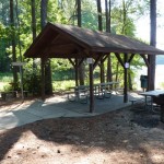
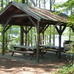
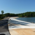
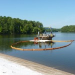
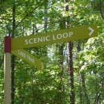
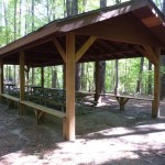
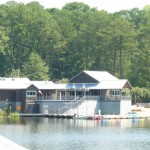
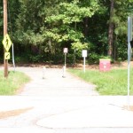
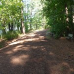
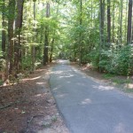
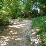
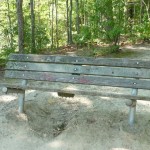
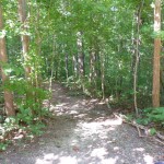
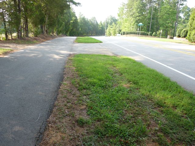
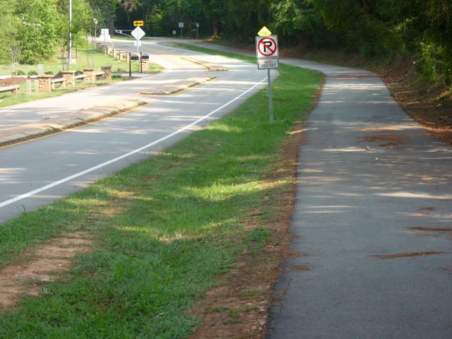
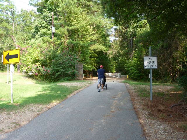
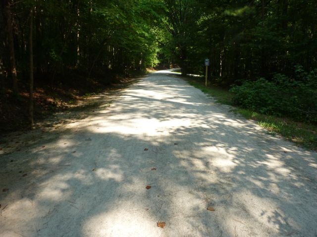
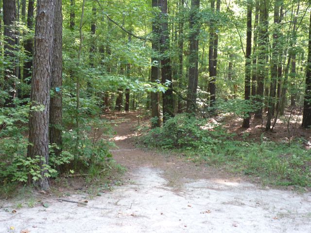
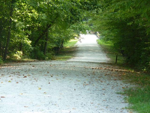
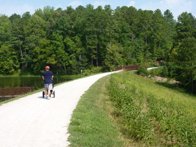
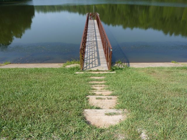
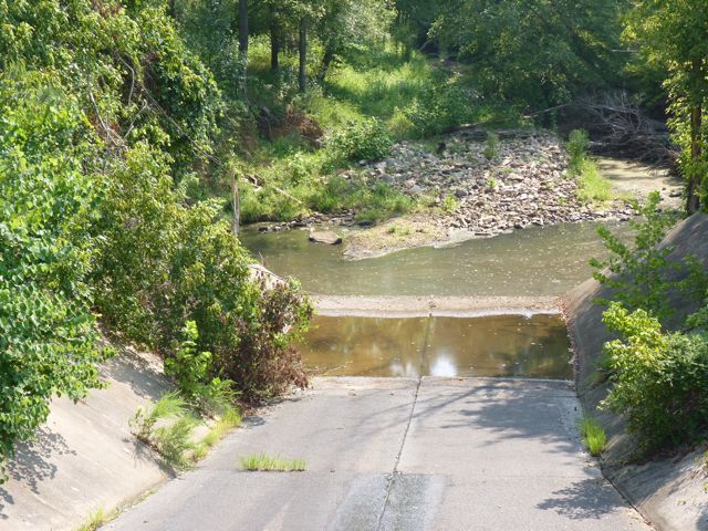
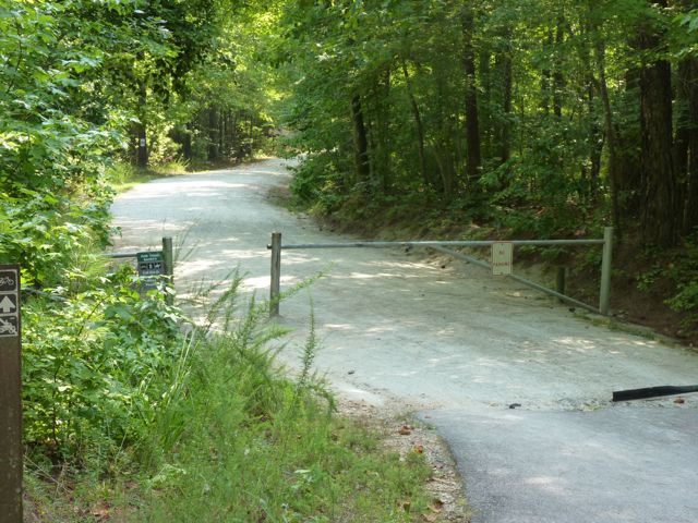
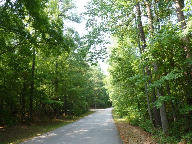
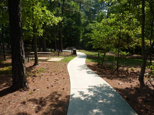
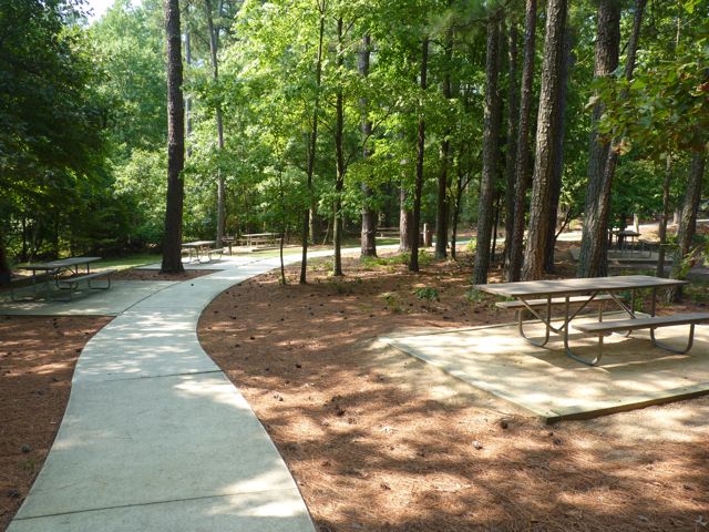
Fishing is permitted in marked areas and non-motorized car-top boats such as kayaks or canoes are also allowed in the lake.  There are two fishing piers near the entrance with long benches, perfect for enjoying the views or waiting for a bite.  The paved trail is part of the Centennial Greenway, which is a work-in-progress.

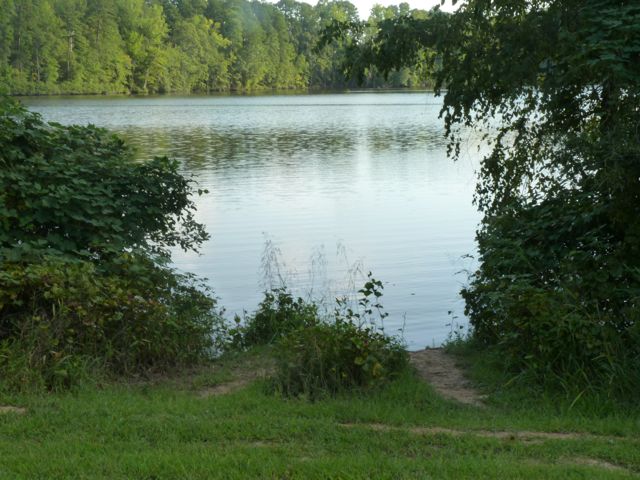
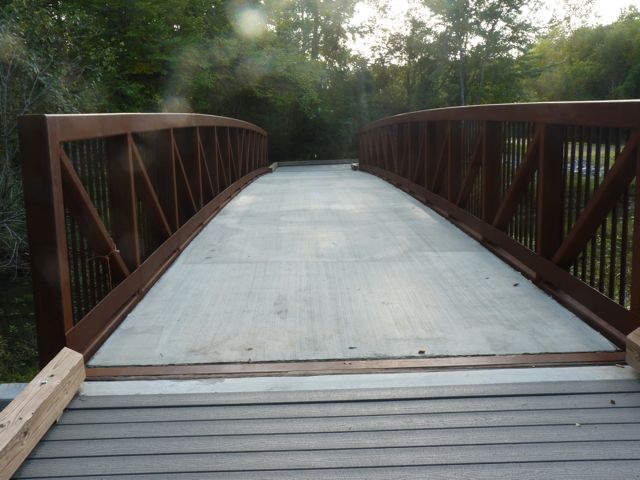
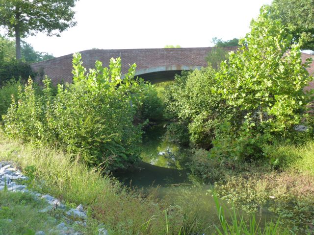
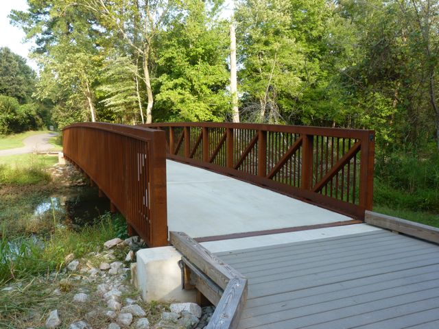
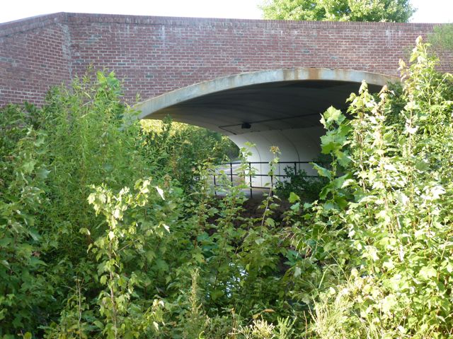
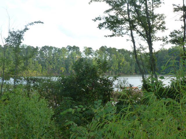
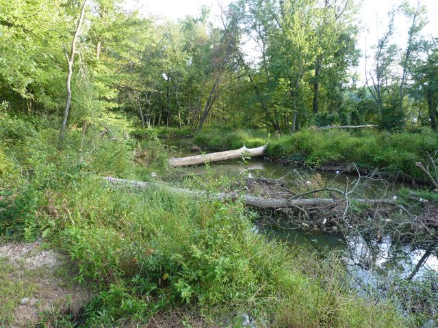
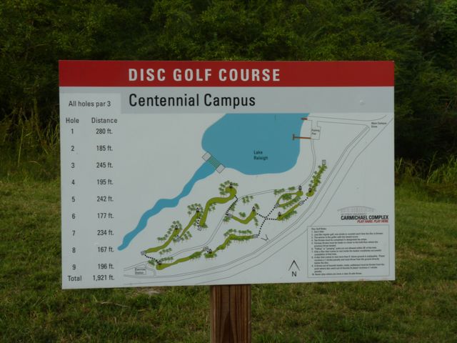
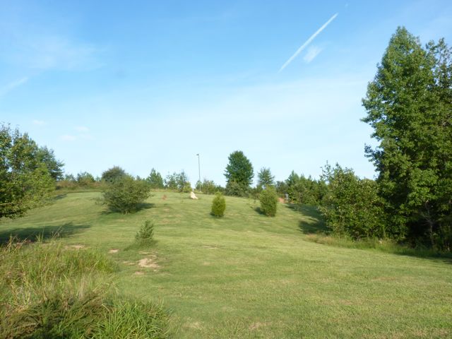
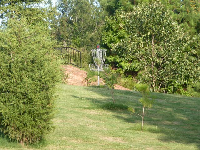
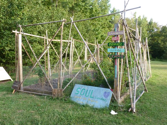
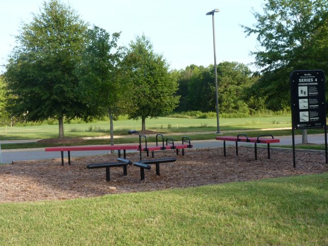
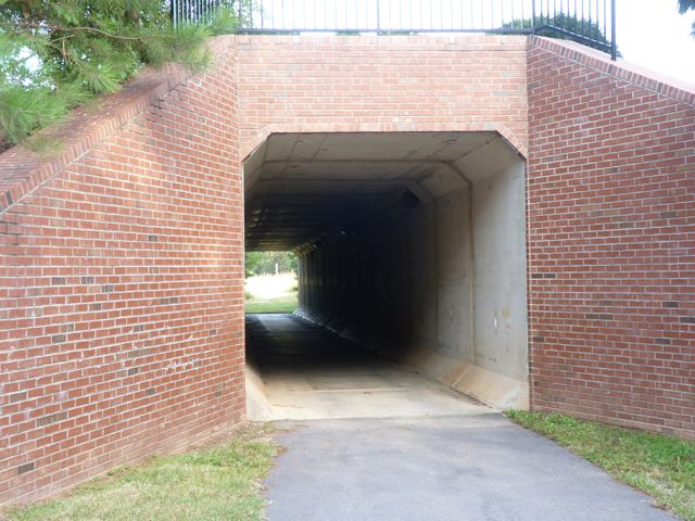
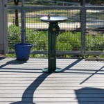
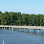
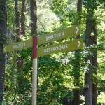
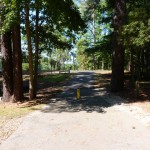
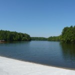
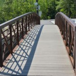
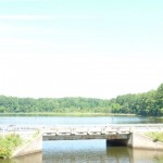
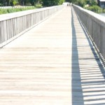
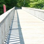
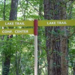
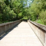
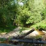
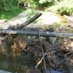
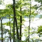
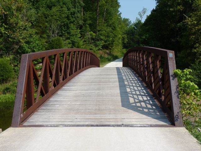
The trail extends in both directions past the main entrance, but does not loop around the lake.  If you walk to the right, you’ll pass other popular fishing spots, wetlands, The Shores residential area, and a bridge perfect for taking photos.  If you walk to the left, you’ll pass gorgeous views of the lake, the SOUL community garden, the 9-hole par 3 frisbee golf course, and an exercise station before coming to the tunnel under Main Campus Dr.

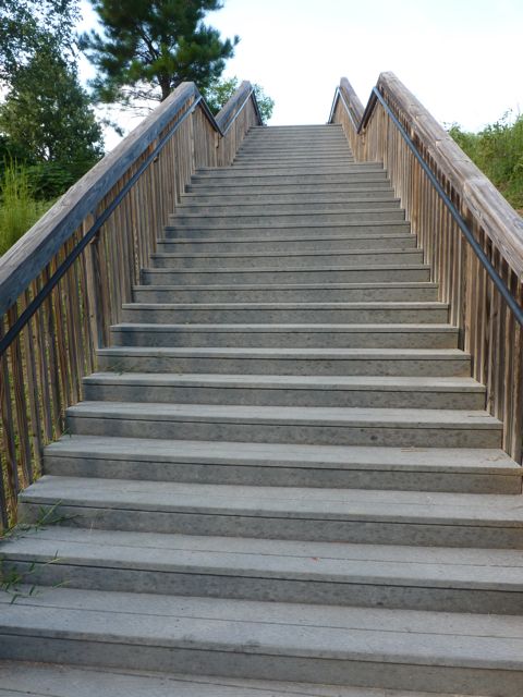
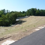
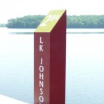
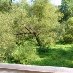
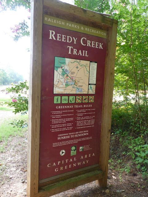
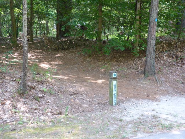
As noted above, the trail is part of the Centennial Greenway, which is a fitness trail and educational tool for the campus community.  Little mowing is done around Lake Raleigh to allow the natural plants to thrive.  Future development of the greenway will connect Centennial Greenway to the Capital Area Greenway at Lake Wheeler Rd and Lake Johnson.

Thumbs up:  beautiful views, fishing, boating, frisbee golf course

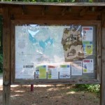
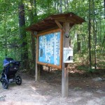
Thumbs down:  parking, lack of area map near main entrance

Lake Johnson Park

Picturesque. Serene. Beloved. All words to describe my recent visits to Lake Johnson Park.

Lake Johnson Park is located in the heart of southwest Raleigh at 4601 Avent Ferry Rd. Its popularity is evident with the many parking lots scattered throughout the park. On two of the mornings I visited, I had to loop around the lot a few times before a spot opened up. Other parking areas are highlighted on this map and can be found further down Avent Ferry Rd on the left, off Lake Dam Dr, at Athens Dr High School, or at Lake Johnson Pool.

The main entrance is where you’ll find the large veranda, deck, conference room, concessions, restrooms, rentals, live bait/tackle vending machines, and the boat put-in area. The veranda, conference room, and deck are available for rent. Paddle boats, jon boats, sunfish sailboats and canoes/kayaks are also available for rent. Rocking chairs along the perimeter of the deck provide peaceful views of the lake. There are also several picnic tables and information boards highlighting several of the unique park programs (boot camp, nature photography, fly fishing, sailing). Even though most have already begun, the fall programs such as the kayak and canoe lessons for ages 12+ are starting soon. Call 919-233-2121 for more information. Stroller Strides also runs fitness classes for moms/dads with kids on Tues/Thurs mornings and is beginning a mom/dad 5k training program on Friday, Aug. 26th.

Avent Ferry Rd splits Lake Johnson in half and there is a paved trail loop on the eastern half and an unpaved trail loop on the western half. The trail is the Lake Johnson Segment of the Walnut Creek greenway trail. Park maps can be found at several of the parking areas, but if you head east on the trail from the main entrance you’ll find a helpful map detailing distances and features of the park.

Distances around the park:

  • West Loop (unpaved, prohibited to biking) = 2.15 miles
  • East Loop (paved) = 2.75 miles
  • Full Loop = 4.33 miles
  • East to west loop from the bridge = 1.32 miles

East Trail – This is a wide, paved path perfect for biking, strolling kids/dogs, walking, and running. The trail is enveloped in large trees that provide great shade. You’ll find beautiful views of the lake throughout this trail, especially along the dam and boardwalk. You’ll also pass a few benches, swings, and shelters for rent along this trail. Shelter 2 has two picnic tables and a large charcoal grill and Shelter 4 has four picnic tables, several benches, and a large charcoal grill. Magnolia Cottage is a medium-sized building tucked deep in the woods that can also be rented for events. If you head clockwise on the trail from the main parking lot the trail starts off flat and then gets rather hilly after crossing the dam.

West Trail – This is a fun trail for hiking or trail running. Bikes are prohibited and I would recommend using a Baby Bjorn or back pack if bringing an infant/very young child. Use caution on the trail, as it is mostly a narrow, hilly, dirt trail with roots covering the path. Nature photography opportunities are galore on this trail. You can also access Lake Johnson Pool from the West Trail. Even though we didn’t have time for a visit inside the pool, from the outside there looks to be a spray garden, baby pool, and main pool with lap lanes and free swim area.

After a two year hiatus from visiting Lake Johnson Park until last week, I’ve been back three times and it is quickly becoming a favorite. Between the scenic views, boating opportunities, great running trails, and safeness of the area it’s a must-visit park!

Thumbs up: shady trails, scenic views, condition of paved trail, boating opportunities, security, facility rentals, mile markers along East trail, peacefulness

Thumbs down: confusing signage (especially along West Trail)

This post originally appeared on soutwestraleigh.com, where you can learn more about what a great place South West Raleigh is to live, work, and play.

Umstead Park – Reedy Creek & Reedy Creek Lake Trails

Two weekends ago we made a short drive to the Umstead Park entrance near the intersection of Reedy Creek Rd and Trenton Rd to try our new BOB stroller. We parked in the grassy median between the paved greenway trail and Reedy Creek Rd since there isn’t an actual parking lot. Be careful to abide by the parking signs.

Once in the park, we decided to head straight and follow the Reedy Creek Trail, which we’ve biked several times in the past. It’s a wide, gravel, mostly shady trail that is great for walking, running, biking, and horse back riding.  It’s a very long trail that eventually goes past the Airport Overlook, crosses I-40 west of Harrison Ave, and connects with the Black Creek Greenway.  Even though we didn’t see any horses that day, we’ve definitely seen them on cooler days.  The new stroller glided over the gravel trail, but we did have to be more careful when going over washout areas.
Along Reedy Creek Trail, you’ll pass access to other popular trails such as the Loblolly Trail (heavily wooded trail for hiking) and Reedy Creek Lake Trail (access to the Harrison Ave entrance of Umstead Park).  Knowing the Reedy Creek Lake Trail is a relatively short walk and passes by Reedy Creek Lake we made a sharp left turn onto Reedy Creek Lake Trail.  You’ll immediately pass by Reedy Creek Lake, which is great for photo ops but swimming is prohibited.  Horses are not allowed any further on this trail either.  Here is a 360 degree video taken along the trail by the lake.

Continuing on the trail is a long, steep hill that eventually flattens out.  It’s quite shady and also a gravel path, perfect for using the new stroller.  Eventually you’ll come to the trail head at the paved Reedy Creek Pkwy, which leads to the Harrison Ave entrance of Umstead Park.  Follow Reedy Creek Pkwy where you’ll pass the Park Ranger’s residence and eventually come to the large Harrison Ave parking lot.  We needed to refill our water bottles, so once in the parking lot we stopped at the first shelter on the left, Shelter #2.  We followed the paved sidewalk where we passed several picnic tables, charcoal grills, recycling areas, a water fountain, and a large pavilion for Shelter #2.

After a water refill, we quickly began our hike back to beat the encroaching heat!  This has to be one of my favorite trails in Raleigh.  It’s a great combination of shade, scenery, and steepness.  Even though we walked most of the hike, the steep hills made for an exhausting workout.  To extend your ride/walk further start by parking at the NC Museum of Art and following Reedy Creek Rd across Blue Ridge Rd and Edwards Mill Rd before arriving at Umstead Park.

Distances:

  • 1.1 miles from Reedy Creek Rd entrance to Reedy Creek Lake
  • 1.7 miles from Reedy Creek Rd entrance to Reedy Creek Pkwy
  • 2.4 miles from Reedy Creek Rd entrance to Harrison Ave entrance

Thumbs up: wide, shady trails, helpful maps, scenic views, good combination of steep hills and flat roads, access to other trails, signs and maps

Thumbs down: little parking near Reedy Creek Rd entrance

Weekend Agenda

So, BOB arrived this week! He’s navy blue and black with hints of gray, very sturdy and reliable, and was a complete surprise! BOB is not another BT rescue (2 is plenty) or a weekend guest; he’s my new jogging stroller! Everyone I’ve talked to who runs with their baby and young kids swears by BOB. Despite the price tag, it’ll be something you’ll still be using with kid 2+. So my sweet mom and mom-in-law conspired (on the advice of my husband I’m sure) to get me this early birthday present and I can’t be more excited! We love our current stroller deeply and will use it 75% of the time, but with the uneven sidewalks and gravel trails around here, Ashley looked like she was going to catapult out if I didn’t do a wheelie over every little bump.

BOB allows us to take our park exploration to a whole other level, so tomorrow morning we’ll be heading over to Umstead Park to probably hike the S. Turkey Creek Trail and Reedy Creek Lake Trail. These are ones we’ve biked pre-baby and they should be nice, shady trails for Ashley and the BTs.

But before we head to Umstead tomorrow, we’ll be heading out to Thomas Brooks park tonight at 5pm to watch the 16u and 18u PONY softball championship games.  Today is the last day of the tournament, which was co-hosted by the Raleigh Jaycees and NC ChallengersThomas Brooks park is run by the Town of Cary and it’s a first class softball complex.

On Sunday morning I’m heading up to DC to meet my sisters and friends for the Britney concert…should.be.awesome!  While I’m out of town I’m putting my husband on assignment (he’s finding this out while reading now) to explore a new park with Ashley and write about it for next week.  He’ll be so excited!  Happy weekend to you all!

Morrisville Community Park


After a rained-out start to our shift on Monday night, Tuesday proved to be plenty hot and sunny! Tuesday night we headed to Morrisville Community Park at 1520 Morrisville Parkway where the 10u girls age group was playing.  This park is run by the Town of Morrisville Parks System and it did not disappoint!

The softball fields used for the tournament are in the back, but you can’t help but stop and stare at the gigantic playground area on your way in. I think this playground is in competition with the Anderson Point Park playground for its massive size and ability to entertain! This playground has several jungle gyms hooked together by various bridges. There are also two swing sets and a shaded gazebo in the middle perfect for a picnic. The main playground sits on a rubbery base and adjacent to it is a sandy play area with see saws. A 0.6 mile paved jogging trail loop, which is part of the Hatcher Creek Greenway, is close by as well.

Playground area
Gazebo in middle of playground
Biggest playground ever!
Parking lot near playground
Access to the Hatcher Creek Greenway

Follow the walkway past the playground to the restrooms and adjacent pavilion with picnic tables and charcoal grill. There is a small open area in front of the pavilion too.

Pavilion with picnic tables and charcoal grill
Shady area near pavilion
Restrooms near playground and pavilion

Continuing on the walkway you’ll pass a large open field (mostly used for soccer according to another volunteer) and a small softball field with bleachers.

Smaller softball field
Open field

Finally in the back of the park are the two lighted softball fields, concession area, water fountain, and restrooms. Both fields have covered team benches and uncovered spectator bleachers. Today was a hot one for playing and watching softball so most of the team’s families brought in canopies, which they set up over the bleachers.

View towards Field 1
Field #1
Let's play ball!
Field #2
Restrooms and concessions
Water fountain
Benches along the walkway
Paved walkway

We were set up next to field 2 so we had a good view of the thrilling pickle, slides into third base, and outs at home. And these were only the 10u games!  I encourage everyone to come out and watch the games.  10u, 12u, and 14u Championship games will be played on Thursday at Middle Creek (10u and 12u) and Thomas Brooks (14U) parks.  16u and 18u Championship games will be played on Friday at Thomas Brooks park.  Stay up to date with dates and times on the PONY website.

Pretty tired after a long night of volunteering
Future volunteers! Chris with his daughter, Kennedy, and me with Ashley!

A nice feature to this park is the proximity of the parking lots to the playground, pavilion, and softball fields. There are large pockets of parking throughout the park.

Thumbs up: proximity of parking areas, functionality of walkways, quality of softball fields, friendly Town of Morrisville staff
Thumbs down: lack of shady seating near main softball fields

North Hills Park

North Hills park is located at 100 Chowan Circle in North Raleigh. Overall this is a basic neighborhood park with B+ features. As you arrive there is a medium-sized parking lot with a nice lighted baseball field on the right. It has bleacher seating for the spectators and a water fountain near the far team’s bench area. The adjacent grassy hill also provides plenty of additional seating.

Baseball field
Bleacher seating near baseball field

Water fountain near far team's bench
Another view of lit baseball field

At the top of the grassy hill is a building for restrooms and the Buffaloe family cemetery.

Building with restrooms
Buffaloe family cemetery

If you continue driving past the baseball field you arrive at the back parking lot near the two lighted tennis courts, playground, pavilion with picnic and access to the greenway. The playground has several connected jungle gyms with a hard mulch base and a smaller sandy playground. The pavilion has 6 picnic tables and a nearby charcoal grill. The wide, paved sidewalk provides easy from the parking lot around the playground and pavilion.

Large back parking lot
Tennis courts
Playground area
Another view of the playground
Sandy playground area
Benches and sidewalk near playground in the shade
Pavilion with picnic tables
Nearby charcoal grill

The access to the greenway is near the tennis courts. This is the North Hills Segment of the Crabtree Creek Trail and it is 1/4 mile of steeply sloped paved pathway. Going down isn’t bad, but pushing the stroller back up was quite a workout! I would definitely recommend the baby bjorn for this segment. The trail tees into the Crabtree Creek Trail, where if you go left you’ll head south towards Lassiter Mill Park and if you turn right you’ll head north towards Shelley Lake.

Access to Crabtree Creek Trail greenway
Beginning of paved greenway
Signs at the end of the North Hill Segment of the trail
Head left towards Lassiter Mill Park
Head right towards Shelley Lake

It’s amazing to think that under all these overpasses and adjacent to creeks and roadways exists this other world of trails.  Navigating through the greenways really helps you get a better sense of direction and helps you realize how close these parks really are to each other. It sort of reminds me of a foreign place like Middle Earth in LOTR.  I encourage you all to explore the greenway.  A lot of the trails are paved and shaded and would make for a great adventure with dogs, loved ones, or a group of friends.  So, pick a greenway segment, find a parking lot, and explore!

All smiles again

Thumbs up: quality of amenities, large parking lots, large playground, easy access to greenway, sidewalk access to pavilion and playground areas
Thumbs down: no sidewalk from baseball field to playground area

Anderson Point Park

My mom visited this past weekend so on Friday morning we headed out to Anderson Point Park at 20 Anderson Point Dr in east Raleigh. This park is bordered by 264/64 bypass on the north, the Neuse River to the east and Crabtree Creek on the west. From the park you can also access the greenway via the Neuse River Trail which is over 4.5 miles of unpaved trails. Here’s a satellite view of Anderson Point Park from Google Maps.

When you arrive at the park, go around the cul-de-sac to the far left to the parking lot. From there we found a very helpful park map detailing all the features.  We then walked by the Large Shelter and headed left along the main trail, which is about 3/4 mile loop. The shelter is a large pavilion with several picnic tables, restrooms, and an adjacent open field with a back stop.

Main entrance sign
Informational board near parking lot
Parking lot
Large Shelter pavilion
Restrooms at Large Shelter
Open field with backstop near Large Shelter
Another view of the open field

Walking along the paved trail we first came to the amphitheater. It’s a beautiful stone-terraced amphitheater with lush green grass at each level. At the bottom is a large tree surrounded by a stone wall with benches and swings along the perimeter. The tree provides great shade for picnics or reading on a hot day.  My mom did comment on how difficult it might be to see any type of performance at the bottom due to the hedges at each terraced level.

Amphitheater
Large shade tree and benches
Ashley with her Cici
Looking from the top of the amphitheater

Back on the trail we followed the spiral pathway up to the scenic overlook. There’s a circular flower garden at the top surrounded by a stone wall perfect for sitting and enjoying the views of the park. There are also several covered swings at the top great for relaxing and taking in the scenery.

Pic of the paved trail
Flower garden at the top
Shaded benches at the top
View from the top overlooking the park

Continuing on, we passed bluebird trails and bird houses that attract martin birds. Luckily my mom, who is a bird enthusiast, was with us to identify the bird houses. The surrounding natural vegetation still allows for great views of the park.

Houses along the bluebird trail
Martin birdhouses

Next, we came upon a large open field with a backstop across from the Retreat Cottage. The cottage can be rented for conferences and events and contains a small nearby parking lot to use.

Open field with backstop near cottage
Sign outside cottage
Retreat Cottage for rent

Close to the cottage is the Small Shelter, which is a covered pavilion with several picnic tables and restrooms. It has an adjacent open field surrounded by crape myrtles and magnolias. Nearby there is also an information board with details about renting the various shelters, open fields, and Retreat Cottage.

Small Shelter with picnic tables
Restrooms near Small Shelter
Open field near Small Shelter
Beautiful crape myrtles and stone work near open field

Next on the trail is the largest playground I’ve ever seen. Part of the playground is covered in a mulch base and part is a sandy base. There is a large jungle gym, multiple swing sets, and several teeter totters with plenty of seating along the perimeter and sloped, grassy hill. The entire playground area is full sun, so be sure take a break at the nearby water fountain. The Small Shelter would be perfect for birthday parties with the playground being so close!

Looking down at the playground
Slides down the grassy hill
Large jungle gym
Swing sets
Another view of the jungle gym
Sandy area with teeter totters
Water fountain

Continuing on, we arrived near the entrance, which has several shade trees and swings overlooking a large part of the park.  The signs are helpful in directing you to the various parts of the park.

Shade trees and swings near entrance
Benches at the entrance
Signage near the front

We followed the trail back to the parking lot and headed out of the park, but not without stopping at the canoe launch that we passed on our way in.  Park in the lot there to get on the Neuse River Trail or head down the gravel road to the launch area for the Neuse River.

Canoe Launch sign from Anderson Point Dr
Gravel lot near put-in area
Launch area
Looking north up the Neuse River
Looking south towards the railroad tracks and 264/64 bypass

This is a great open park with lots of unique amenities surrounded by a paved trail that is perfect for walking the dogs and babies or going for a run.  We had a fun morning with lots of exploring, so we finished off our adventure with cupcakes from The Cupcake Shoppe!

Yummy red velvet

Thumbs up: scenic overlook, shelters, open fields, access to greenway, canoe launch area, playground, beauty of amphitheater, birding

Thumbs down: unsure of usage of amphitheater

Reedy Creek Trail: Meredith College to 440 Pedestrian Bridge

For our next greenway trip we visited the portion of Reedy Creek Trail that begins at Meredith College and extends to the I-440 pedestrian bridge. There is not a parking lot on the Meredith College side, but there is plenty of street parking on the nearby neighborhood streets. The intersection is busy so use the crosswalks. We live about 1/2 mile from Meredith College so we walked to the trail and began our journey.

The trail begins near the soccer complex on Meredith’s campus at the intersection of Hillsborough St and Gorman St. It is rather wide and paved so it’s perfect for strolling the babies or hitching them behind a bike. You won’t find any picnic tables or benches along the trail with the exception of a bench when you reach the pedestrian bridge. It’s also a pretty popular trail as it provides access to the NC Art Museum where you can then toggle over to Umstead Park.

The distance from Meredith to the pedestrian bridge is 1.3 miles. There’s not much to look at along the way except for the few glimpses of the college campus to the right. The left side of the trail is heavy brush, which helps conceal the noises from neighboring I-440. After you pass the old soccer field, you’ll go up a steep hill and through a tunnel (Wade Ave is above) and then immediately up another steep hill to the entrance of the pedestrian bridge.  Be careful of the current construction around the tunnel.

Small bits of shade throughout
A small bridge you pass near campus
The old soccer field on campus
A steep hill you cover just before the tunnel
Current construction in the tunnel
Another steep hill up to the bridge (this pic is looking back towards the tunnel)

The pedestrian bridge is an amazing engineering structure that connects the campus to the Museum Park. Construction was completed in 2005. Once you cross the pedestrian bridge you enter the Museum Park preserved by the NC Museum of Art. We had been long enough by this time so we headed back. If you continue on the trail you’ll eventually come to the Art Museum, but we’ll save that portion of the trail for another day.

Arriving at the bridge
One of the few benches along the trail
Ashley before crossing the bridge
Looking out towards I-440
On the other side of the bridge looking into the Museum Park

This would make a great trail to visit for the upcoming weekend!  Happy Fourth of July!

Thumbs up: pedestrian bridge access, wide paved path, views of campus, map of greenway near entrance
Thumbs down: noisiness near I-440, lack of benches along trail

Umstead Park – Sal’s Branch Trail

Over the years I’ve spent a bit of time biking (if you call it that) the Umstead Park trails between the NC Museum of Art and the Harrison Ave entrance. Having a new baby makes it a bit tough to get back into exercising, but when our hiking enthusiast friends from Hokie country, Greg and Randi, came to visit in May I made it a point to include Umstead Park in our weekend plans!

We were looking for a trail with some good views, shade, and moderate mileage, so we opted for Sal’s Branch Trail (only 2.75 miles).  To get to Sal’s Branch Trail, turn into the park at 8801 Glenwood Avenue (Route 70) and continue on Umstead Parkway bearing right after the Visitor’s Center.  We parked in the shady parking lot that is used for several of the hiking trails.  We headed into the clearing above the parking lot in search of Sal’s Branch Trail.  Despite walking around for awhile trying to find the beginning of the trail, we eventually found the trail head and began our adventure!

The baby bjorn is a must-have for hiking on the trails
Use extreme caution when placing babies into the baby bjorn
View of the clearing above the parking lot
Hiking the Umstead trails is great exercise for the BTs
And we're off....

Shortly into our hike, we walked by Big Lake (no, I’m not making this name up).  Feel free to fish or kayak, but don’t plan on any swimming as it’s not allowed.

Once you pass Big Lake, your journey will take you on a moderately sloped and well cleared trail.  There were quite a few roots to keep an eye on, but we were able to successfully hike the trail with a baby and BTs without tripping.  This is a great trail to take with a baby or young children and dogs as you’ll pass the Visitor’s Center during your hike, which offers a great resting spot or quick bathroom stop (some of the nicest bathrooms I’ve seen).  Besides the scenic views around Big Lake there’s not much else to see other than the typical NC vegetation along the trail. However, Sal’s Branch Trail is great for getting some exercise with the baby and doggies.

Thumbs up: clear trail, visitor’s center, scenic views, doggie and baby bonding

Thumbs down: signage near parking lot

Shelley Lake

Shelley Lake is a large park in the North Raleigh area. It is located at 1400 W Millbrook Rd and is a popular place to walk and run, especially in the evenings. The lake is surrounded by a portion of the Bent Creek greenway trail that is 2.08 miles. The Lake Park trail (unpaved .42 miles) also connects off the greenway.  A lot of the trail is shaded, but there are also long stretches of full sun.  When you pull into the parking lot follow the snaking trail to the left where you’ll connect to the greenway.

As we walked around the trail we came across several different things this park has to offer.

The parking lot off Millbrook Rd and signage about the park


Condition of the trail
Pier and boat house
Access to the fishing pier
Restrooms on one side and scenic views on the other
Water fountain outside the restrooms

Beautiful viewing area overlooking lake


Continuing on, you’ll notice that the signage throughout the park is pretty thorough. This park has a lot to offer and it could be easy to get lost along the way. Luckily we didn’t have to leave bread crumbs to help us get back to the parking lot.  The signs direct you to the Lake Park Drive (the unpaved section of the greenway), the Sertoma Arts Center, restrooms, and the Shelley Lake Trail around the lake.  We didn’t venture up to the Arts Center, but it has a plethora of adult and youth art classes available.

As you continue on the trail, you’ll come across a wooden bridge where you can stop to take pictures and visit with the ducks and geese.  Here are some pictures of Ashley with her own Duckie Wubbanub.

In addition to the amenities listed above this park also contains benches along the trail, workout stations, large open fields, and additional access to the other portions of the greenway trail.  Here are some more spectacular views of the lake and open fields.

Thumbs up:  spectacular views, great jogging trail, signage, access to other greenway trails, art center

Thumbs down: popular spot so it’ll be busy, litter in the lake