RDU Observation Park

This post is dedicated to all of the guys in my life (husband, dads, and grandfathers) who flew planes in the service or for fun or who love to spend hours at air shows or the National Air & Space Museum. 

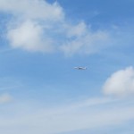
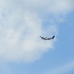
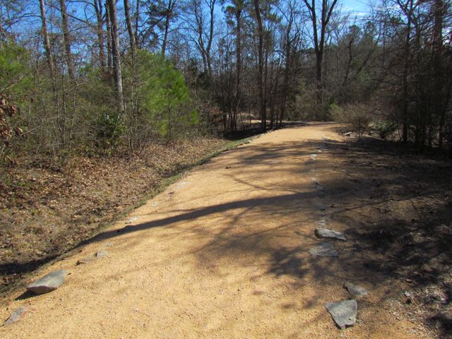
We took advantage of last Thursday’s gorgeous weather and headed to the RDU Observation Park at RDU Airport.  Thinking I’d never spend more time at an airport than absolutely necessary, I wasn’t quite sure what to expect.  Surprisingly, it’s a pretty neat way to watch planes land and take-off provided, you don’t have a vested interest in the ones you’re watching take-off 😉 For those of you who have sprinted from one end of DFW to the other to catch a connection only to learn you missed it, may not enjoy spending additional time on airport authority owned property.  But, for those who are interested in the simplicity of an airport, going from one place to another, this is a fun place to visit!

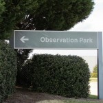
First, be sure to take the simpler entrance into the General Aviation area from Lumley Rd, which you can get to from 540 or 70 and follow the signs to the Observation Park.  The park is actually located near the intersection of Business St and E International Dr closest to the Terminal 2 runways and the private jet hangars.

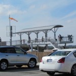
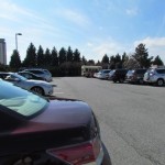
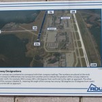
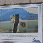
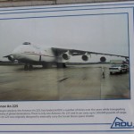
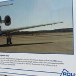
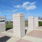
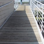
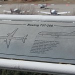
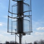
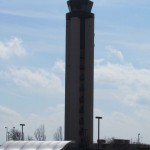
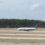
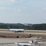
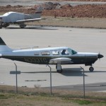
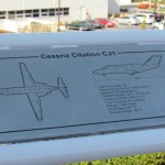
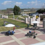
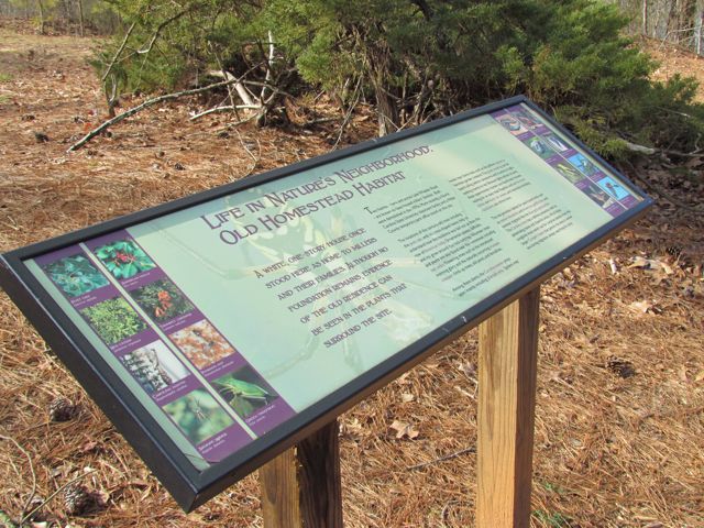
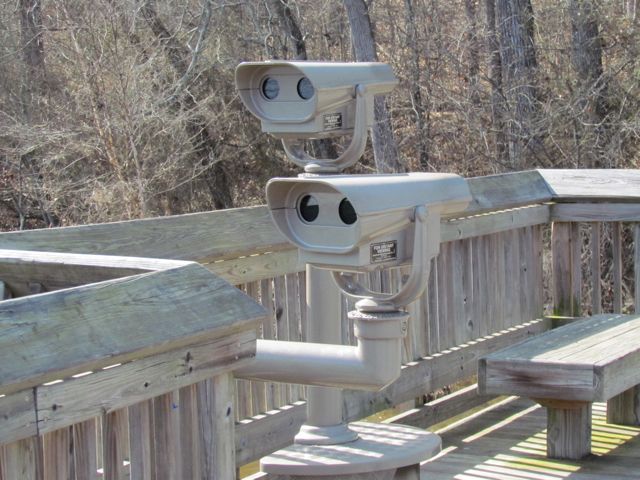
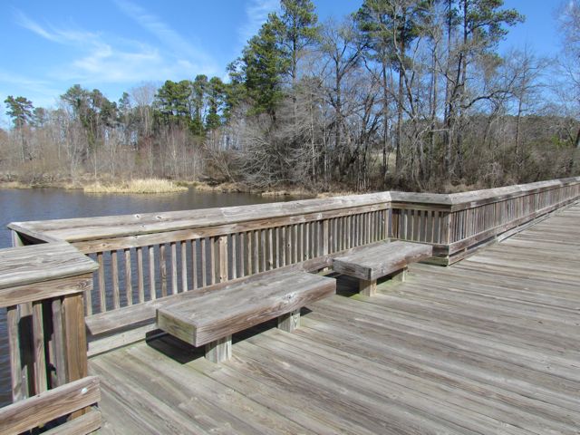
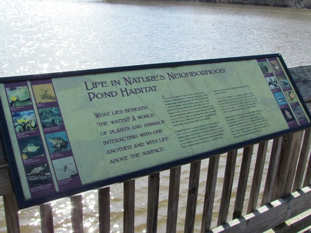
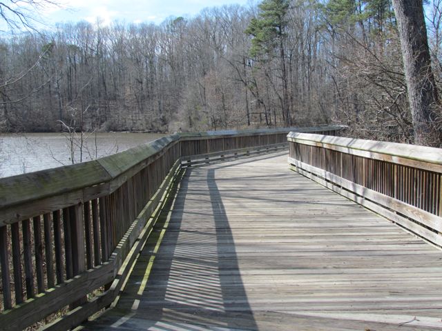
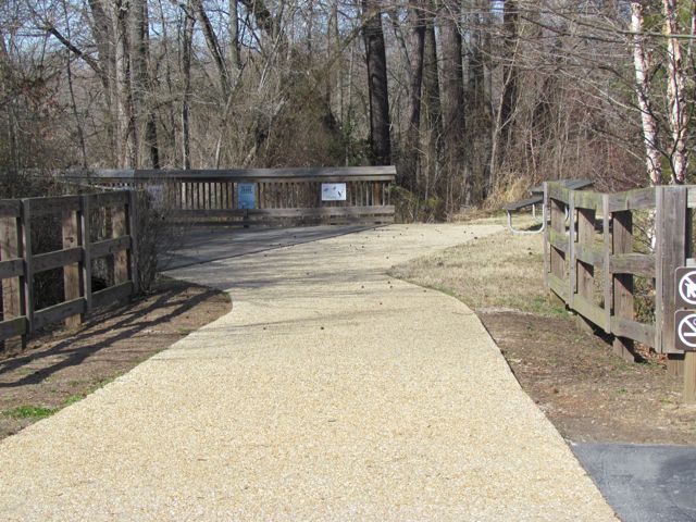
The park has a large parking lot with stairway and ramp access to an elevated and covered deck overlooking the Terminal 2 runways.  Along the deck railing there are educational guides with information about the different planes built over time, from the Wright Brothers plane to the Cessna CJ1 and beyond.  We had great views of the control tower and the take-off and landings of large commercial jets and smaller private planes.

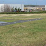
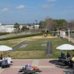
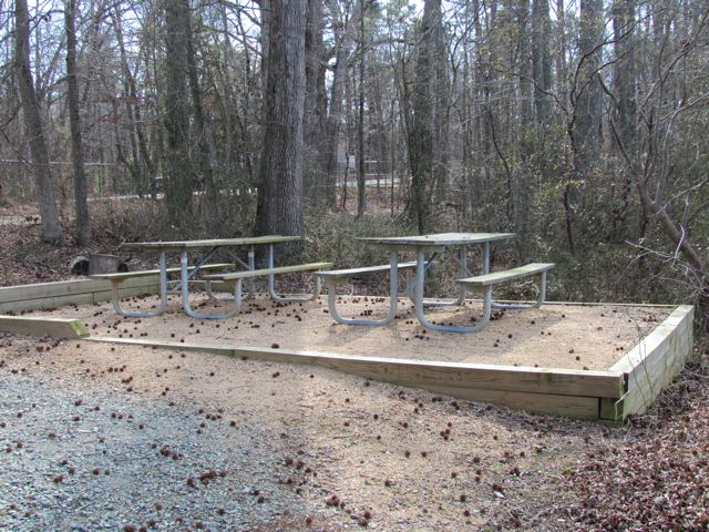
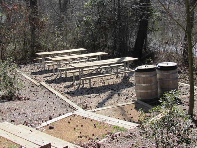
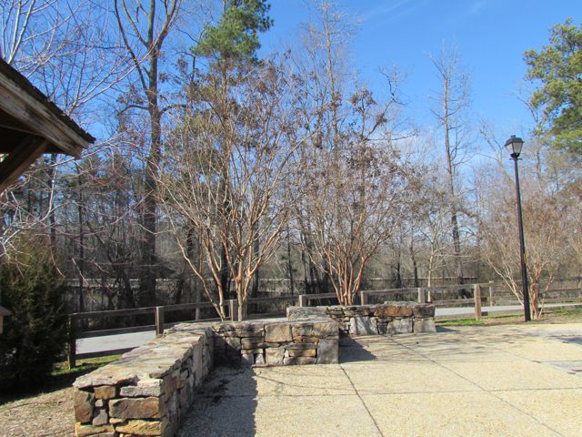
The park also has a small, sandy playground area with climbing equipment, a kiddie-size runway, picnic tables, benches, open fields, public restrooms, and more aviation information guides.  Not far from the park is a cafe open from 8am-2pm.

Finally, if you find yourself at the airport with a few extra hours to spare, check out this helpful airport guide I stumbled upon at Stuck at the Airport.

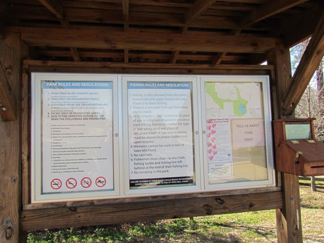
Thumbs Up: beautiful views, picnic spots, aviation information guides

Thumbs Down: bad signage from Aviation Pkwy entrance

Historic Yates Mill County Park


This post originally appeared on Southwestraleigh.com where you can learn more about how to live, work, and play in the Creative District.

Even though the Historic Yates Mill County Park has only been open for less than six years, Yates Mill dates back to the early 1800’s and is the only gristmill still standing in Wake County.  Throughout the mill’s history it changed ownership about a dozen times and the park is now owned through a partnership between NC State, Yates Mill Associates, Wake County, and the NC Dept of Agr & Consumer Services.

Historic Yates Mill County Park is located at 4620 Lake Wheeler Rd, about 3 miles south of I-40/440.  After winding down a short entrance road you arrive at a large parking lot with a beautiful research and education center as the backdrop.  The A.E. Finley Education and Research Center is a beautiful stone and wood building that contains an exhibit hall, classrooms, auditorium, and back porch complete with rocking chairs overlooking the pond.  They offer programs for people of all ages and here are just a few upcoming events to highlight:

After you’ve finished exploring the Park Center, head to one of the trails for a walk out and around the pond.  We explored the Millpond Trail (1 mile), which loops around the pond offering breathtaking views of the wildlife, water, and flora.  On this trail, you’ll pass by the old mill and dam, boardwalks along the pond that are great for fishing, several picnic areas, the Field Classroom, and tree markers that correspond to the “Tree Identification Trail” brochure at the Park Center.  Even though it’s an unpaved path, it’s quite wide and flat but not suitable for strollers in all areas.  Being a beautiful sunny day, I passed quite a few people jogging the trail too.  Whatever you do, be sure to stop by the mill yard and dam and take tons of pictures!

The two other trails we didn’t have time for today are the High Ridge Trail and the Creekside Trail.  The trail map shows that High Ridge Trail is more strenuous and about .78 miles and connects up with the Millpond Trail.  Creekside Trail is an out and back unpaved trail that is 2 miles in total length.

This park is jam-packed with activities and sights, but also has several peaceful areas if you just want to relax a bit.  Try your luck fishing from one of the boardwalks, enjoy a picnic lunch at one of the many spots along the Millpond Trail, or take a nap in the rocking chairs on the back porch.  So, whether you came for excitement and learning or quiet time and reflection there’s something for everyone.

Thumbs up: photo ops, serenity, educational exhibits, pond, mill and dam

Thumbs down: trail maps don’t indicate whether paths are stroller-friendly (thanks to the sweet mom-daughter team that helped us out)